West Bletchley
Civil Parish in Buckinghamshire
England
West Bletchley
West Bletchley is a civil parish located in the county of Buckinghamshire, England. Situated just over three miles southwest of the town of Milton Keynes, it is part of the larger urban area known as Bletchley.
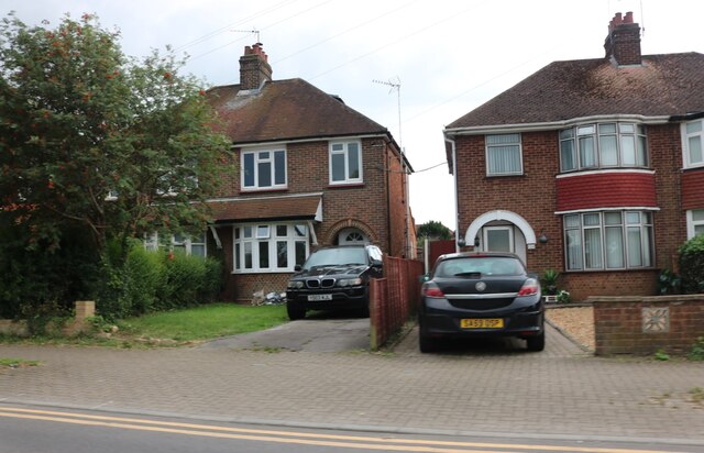
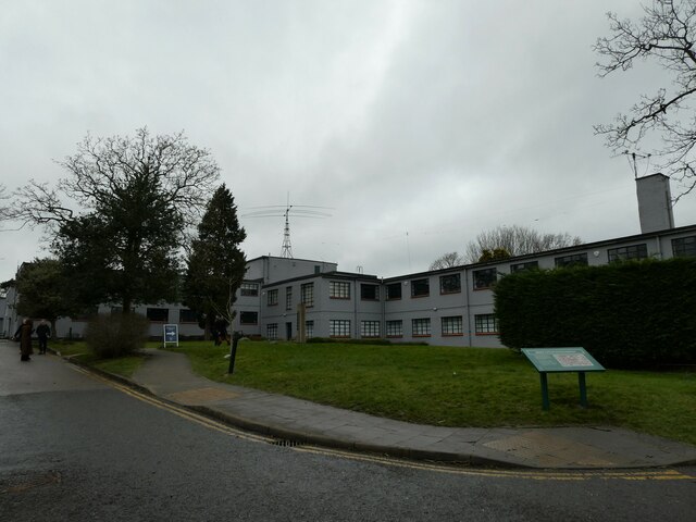
The parish covers an area of approximately 4.5 square miles and is home to a population of around 10,000 residents. West Bletchley is primarily a residential area, characterized by a mix of housing types ranging from post-war council estates to more modern developments. The architecture is diverse, with a blend of traditional and contemporary styles.
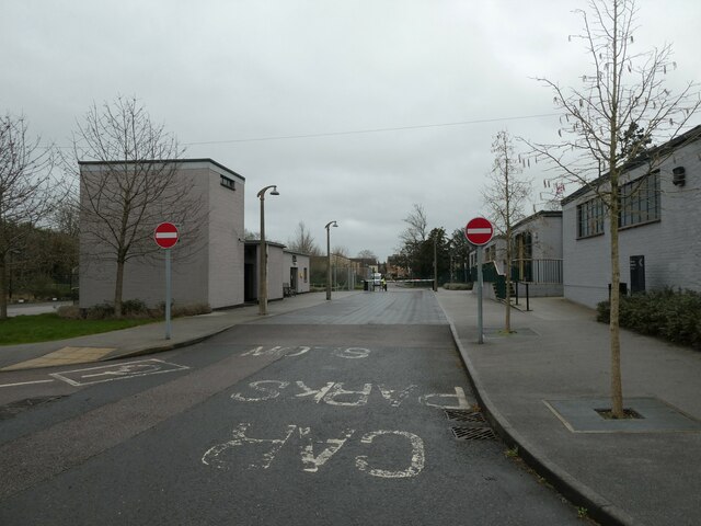
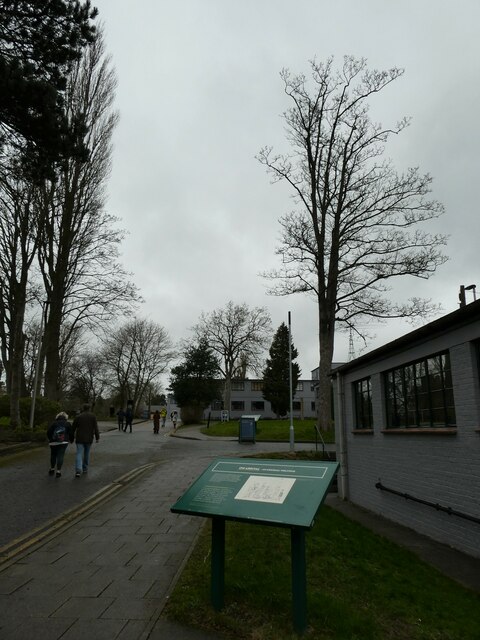
The area is well-served by amenities and facilities, including several primary schools, a secondary school, and a further education college. There are also numerous shops, supermarkets, and restaurants providing a range of services and products to local residents.
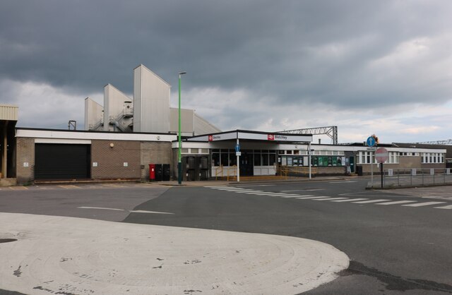
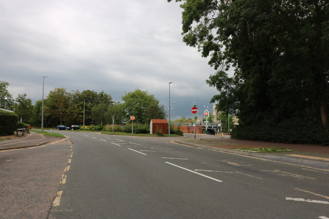
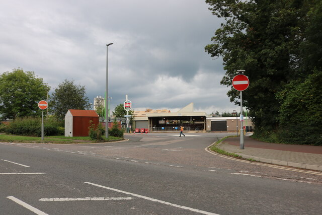
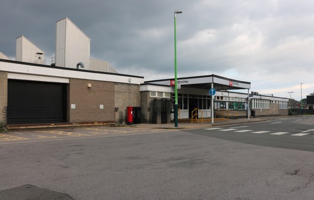
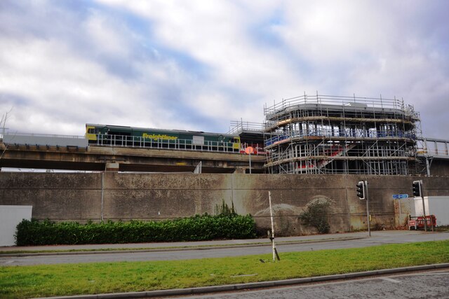
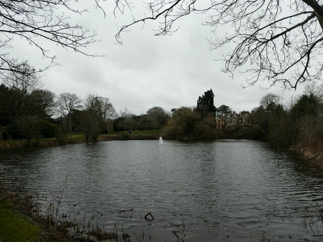
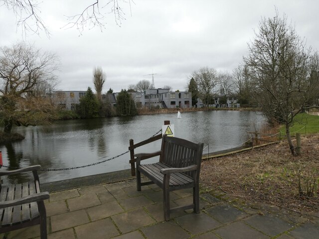
West Bletchley boasts several green spaces, including parks, playing fields, and nature reserves, offering opportunities for outdoor activities and leisure pursuits. The area benefits from good transport links, with easy access to the A5 and A421 roads. The nearby Bletchley railway station provides regular train services to London and other major cities.
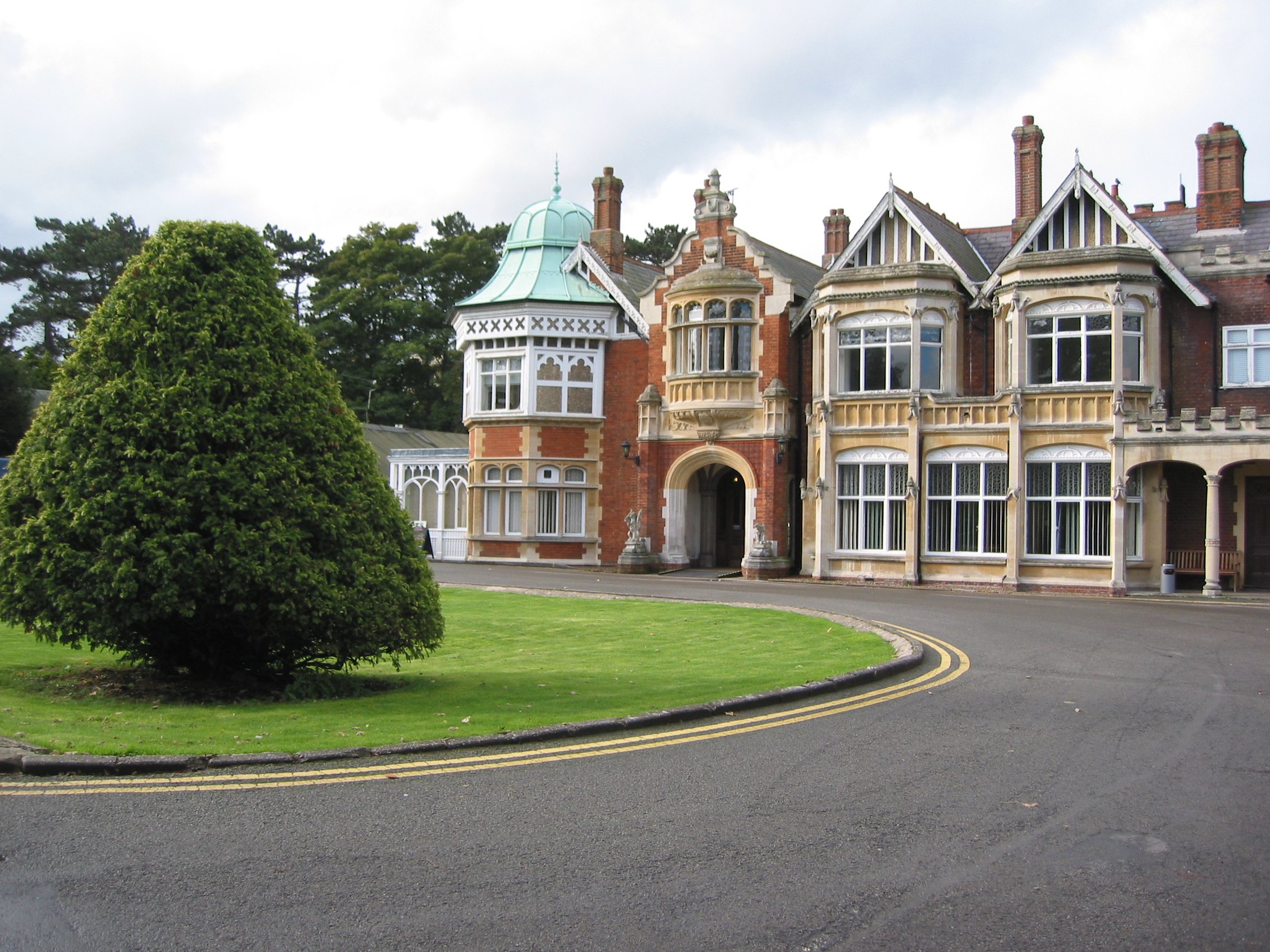
Historically, West Bletchley played a significant role during World War II as the location of Bletchley Park, the site of the Government Code and Cypher School. Today, Bletchley Park is a popular visitor attraction and museum, attracting tourists from around the world.
Overall, West Bletchley is a thriving residential area with a rich history, offering a range of amenities and easy access to both urban and rural areas.
If you have any feedback on the listing, please let us know in the comments section below.
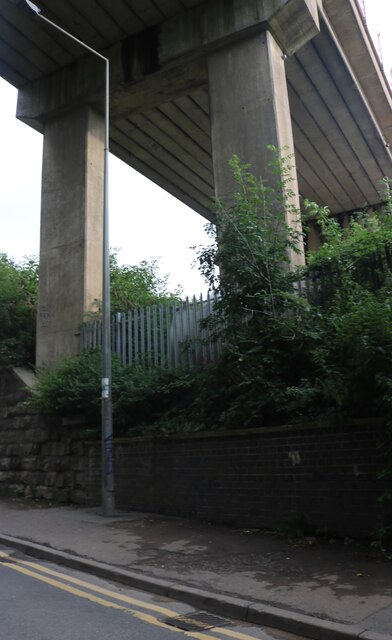
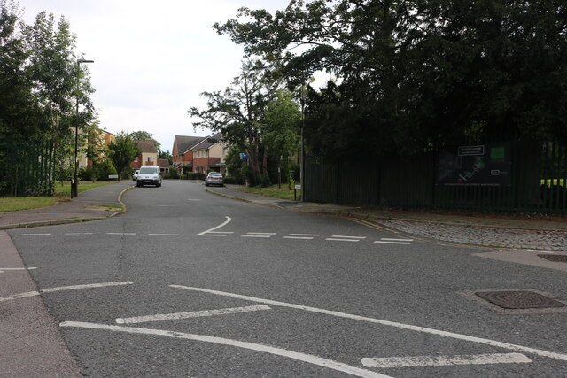
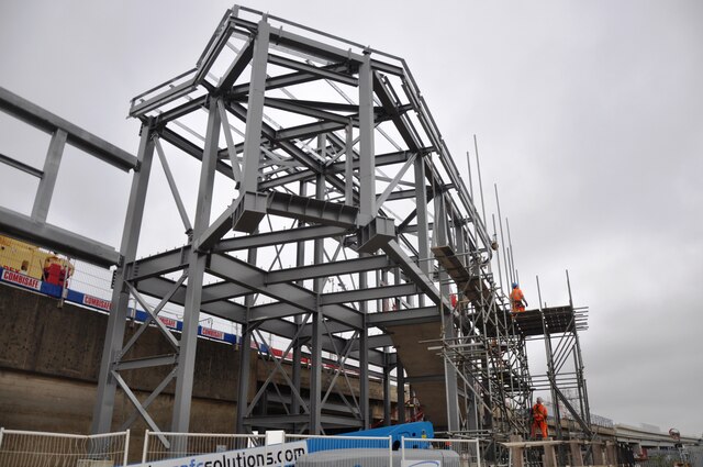
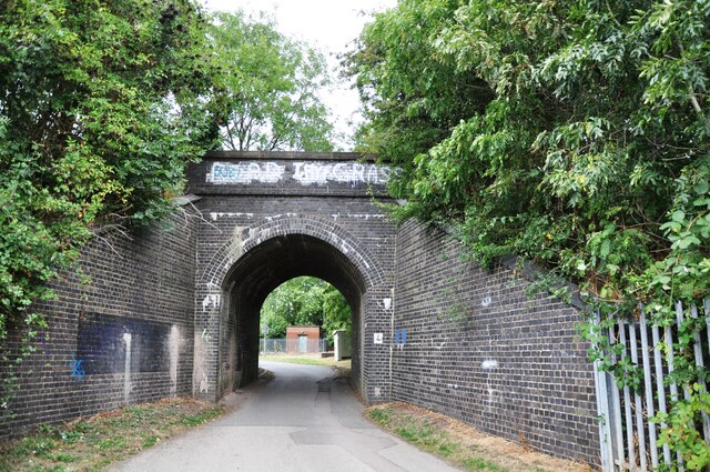
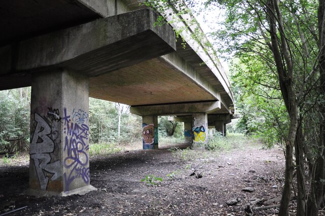
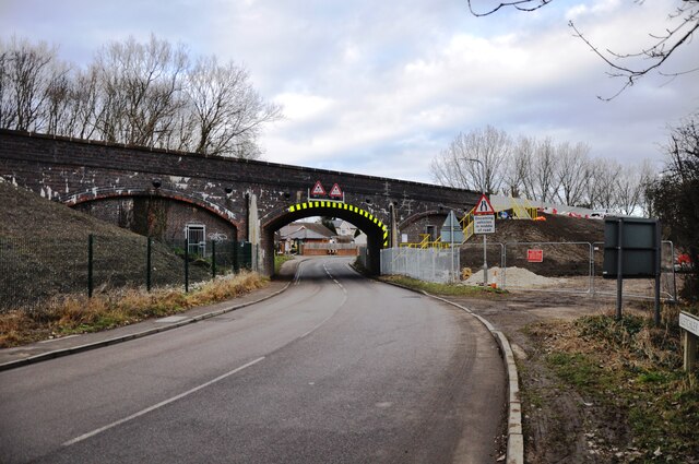
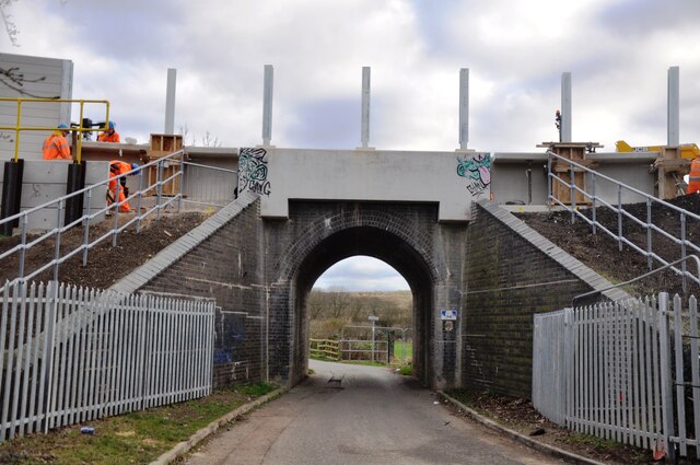
West Bletchley Images
Images are sourced within 2km of 51.99602/-0.75588 or Grid Reference SP8533. Thanks to Geograph Open Source API. All images are credited.
West Bletchley is located at Grid Ref: SP8533 (Lat: 51.99602, Lng: -0.75588)
Unitary Authority: Milton Keynes
Police Authority: Thames Valley
What 3 Words
///marker.things.hears. Near Bletchley, Buckinghamshire
Nearby Locations
Related Wikis
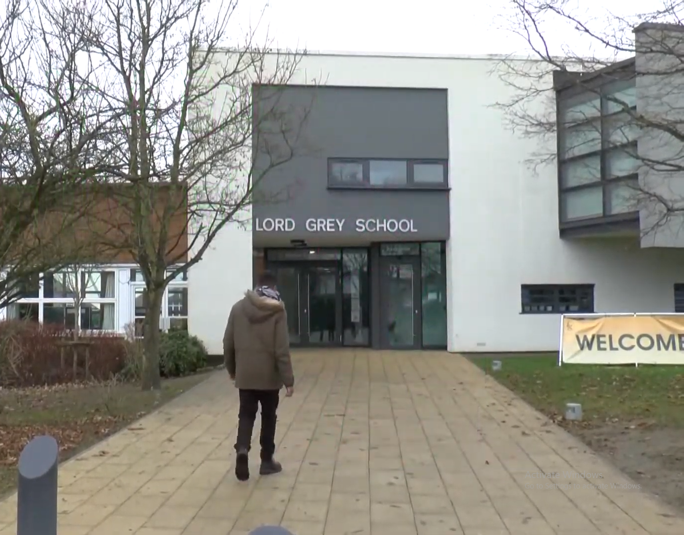
Lord Grey Academy
Lord Grey Academy (formerly Lord Grey School) is a comprehensive 11-19 coeducational secondary academy and sixth form in West Bletchley, Milton Keynes...
West Bletchley
West Bletchley is a district and civil parish that covers the western part of Bletchley, a constituent town of Milton Keynes in Buckinghamshire, England...
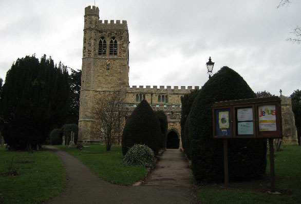
St Mary's Church, Bletchley
St Mary's Church is the Anglican parish church in Bletchley, a constituent town of Milton Keynes in Buckinghamshire, England. St Mary's is located on Church...

The National Museum of Computing
The National Museum of Computing is a museum in the United Kingdom dedicated to collecting and restoring historic computer systems. The museum is based...
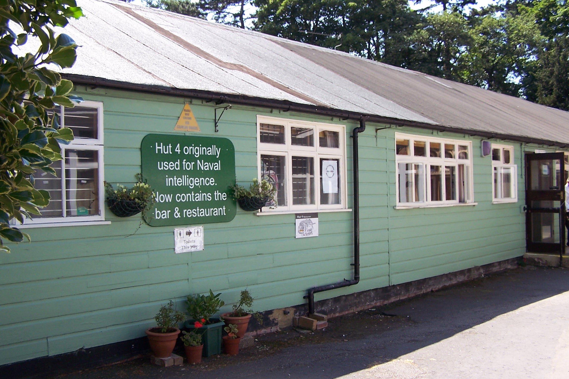
Hut 4
Hut 4 was a wartime section of the Government Code and Cypher School (GC&CS) at Bletchley Park tasked with the translation, interpretation and distribution...
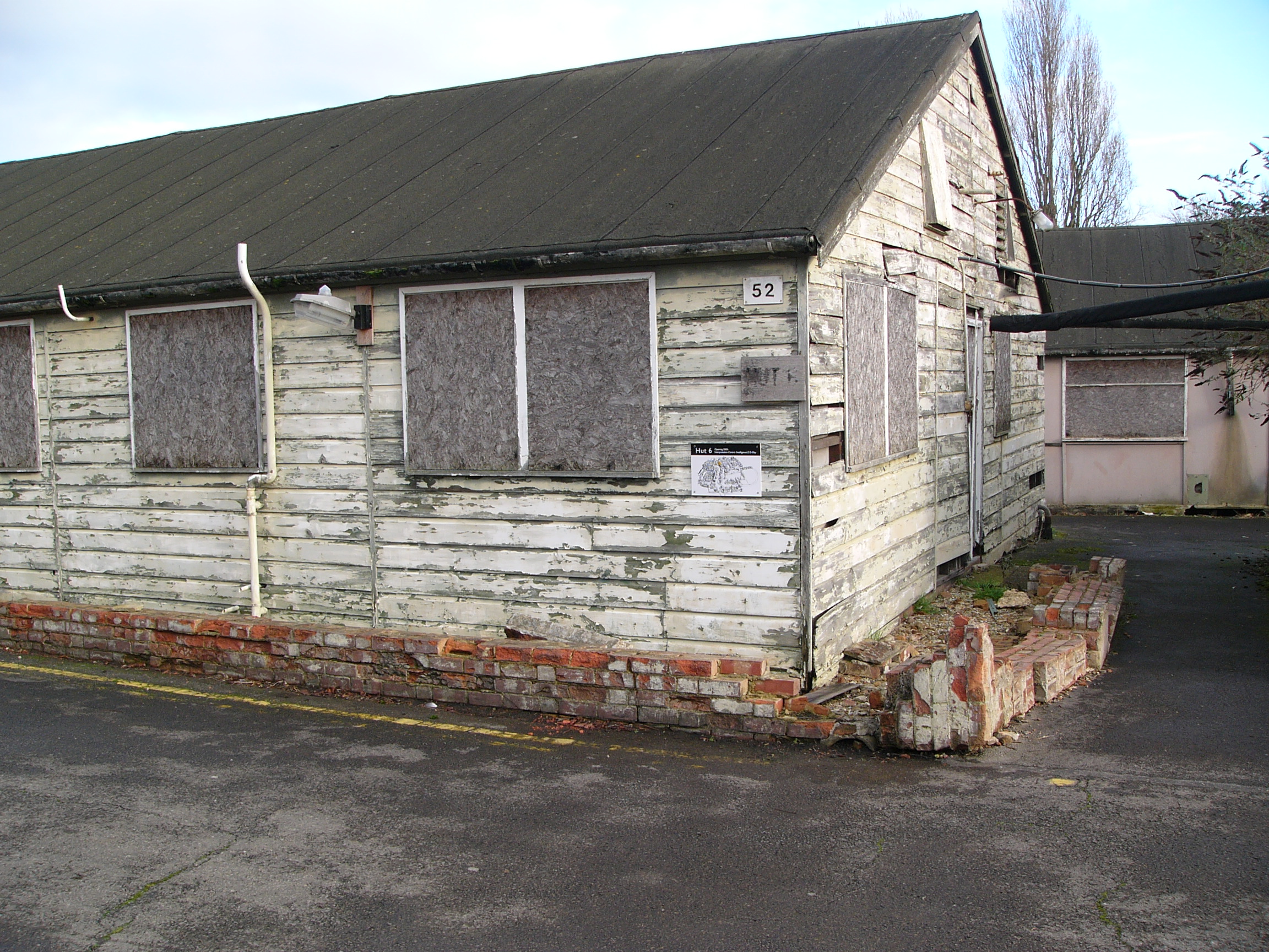
Hut 6
Hut 6 was a wartime section of the Government Code and Cypher School (GC&CS) at Bletchley Park, Buckinghamshire, Britain, tasked with the solution of...

Hut 3
Hut 3 was a section of the Government Code and Cypher School (GC&CS) at Bletchley Park during World War II. It retained the name for its functions when...
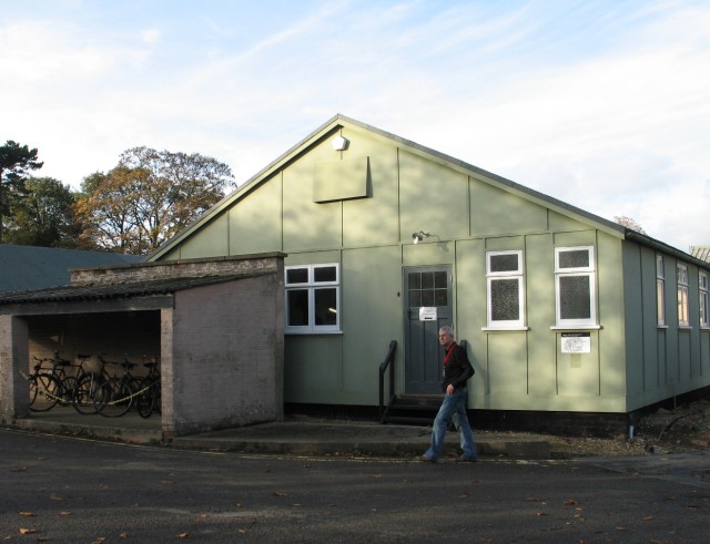
Hut 8
Hut 8 was a section in the Government Code and Cypher School (GC&CS) at Bletchley Park (the British World War II codebreaking station, located in Buckinghamshire...
Nearby Amenities
Located within 500m of 51.99602,-0.75588Have you been to West Bletchley?
Leave your review of West Bletchley below (or comments, questions and feedback).