West Bradford
Civil Parish in Yorkshire Ribble Valley
England
West Bradford
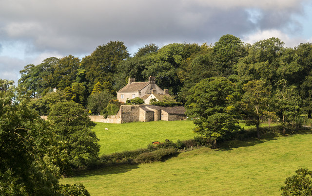
West Bradford is a civil parish located in the Craven district of North Yorkshire, England. Situated approximately 9 miles west of the market town of Skipton, this rural area covers an area of about 4.5 square miles. The parish is nestled within the picturesque countryside of the Yorkshire Dales National Park, offering residents and visitors stunning views and a tranquil atmosphere.
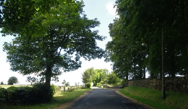
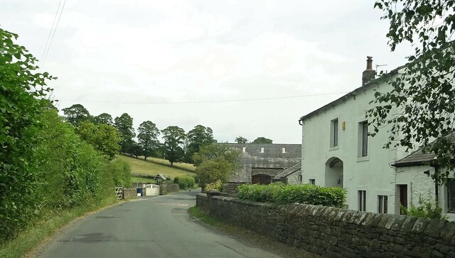
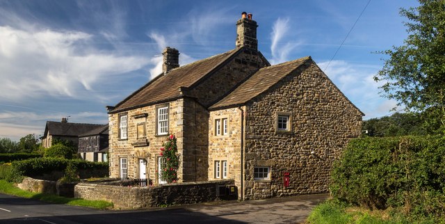
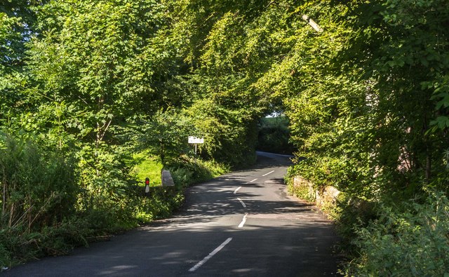
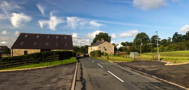
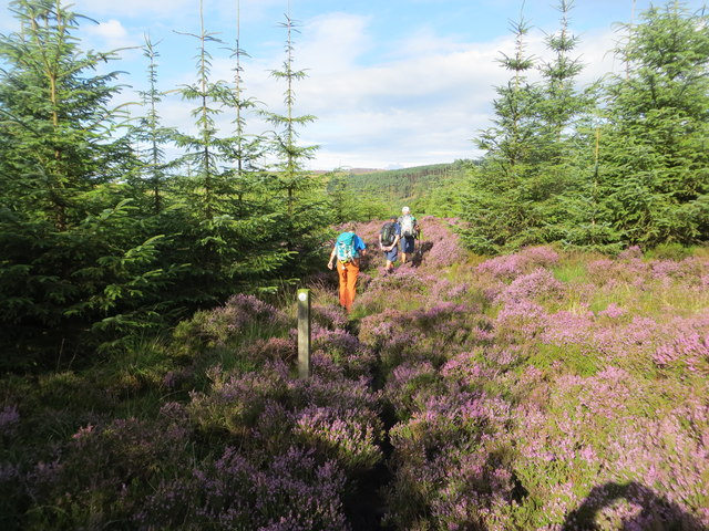
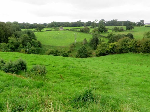
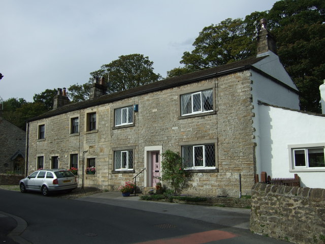
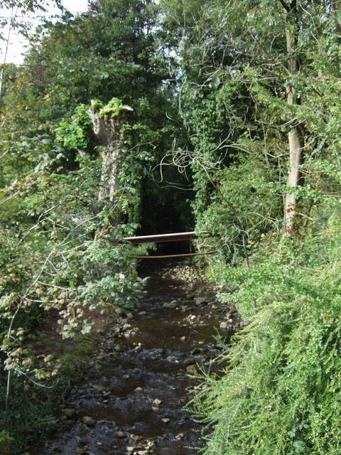
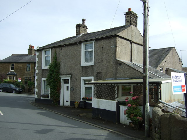
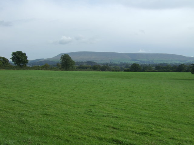
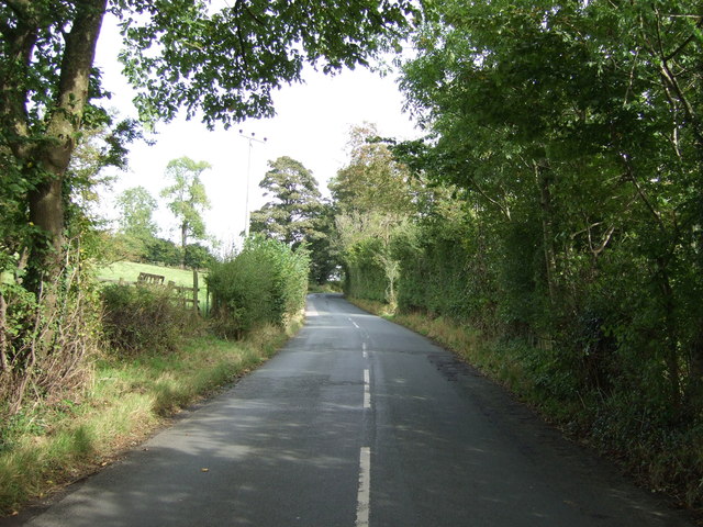
The small community of West Bradford is home to around 250 residents, making it a close-knit and friendly place to live. The village itself features a mix of traditional stone-built houses and more modern properties, blending seamlessly into the surrounding countryside. The parish is characterized by its rolling hills, open fields, and picturesque meadows, providing ample opportunities for outdoor activities such as walking, cycling, and horse riding.
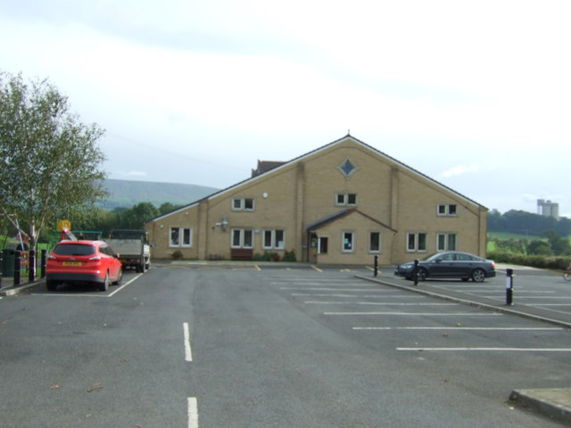
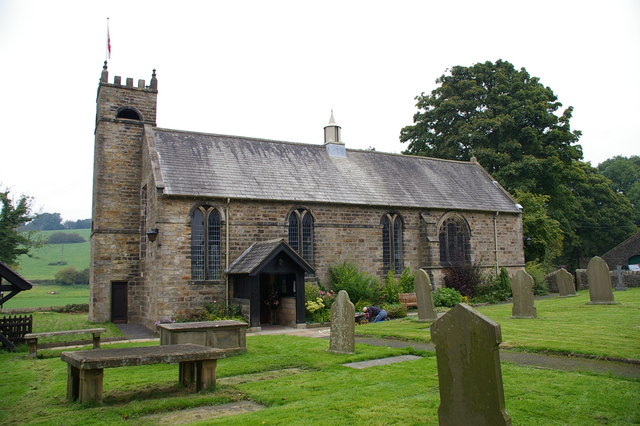
West Bradford is also known for its charming St. Oswald's Church, a Grade II listed building dating back to the 12th century. The church is a focal point of the community and serves as a place of worship for locals. Additionally, the parish boasts a thriving village hall, which hosts various social events and activities, fostering a strong sense of community.
Although small in size, West Bradford benefits from its proximity to nearby towns and amenities. The bustling market town of Skipton offers a range of shops, restaurants, and services, while the larger cities of Leeds and Bradford are within easy reach by car or public transport.
Overall, West Bradford is a picturesque and peaceful civil parish, offering residents a rural lifestyle with access to both natural beauty and the amenities of nearby towns.
If you have any feedback on the listing, please let us know in the comments section below.
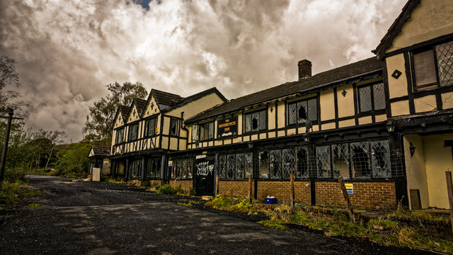
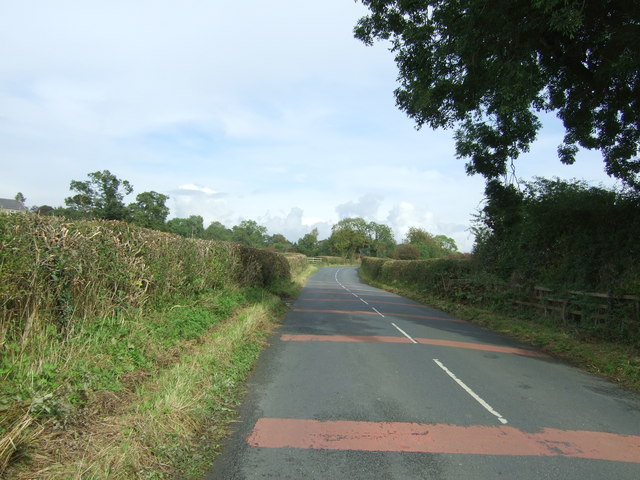
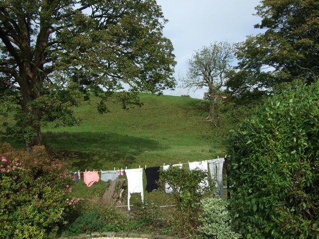
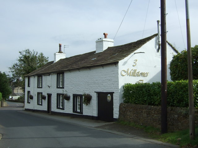
West Bradford Images
Images are sourced within 2km of 53.908866/-2.400587 or Grid Reference SD7345. Thanks to Geograph Open Source API. All images are credited.
West Bradford is located at Grid Ref: SD7345 (Lat: 53.908866, Lng: -2.400587)
Division: West Riding
Administrative County: Lancashire
District: Ribble Valley
Police Authority: Lancashire
What 3 Words
///reissued.taxi.dads. Near Waddington, Lancashire
Nearby Locations
Related Wikis

Eaves Hall
Eaves Hall was built in 1864 for John Burton (1809–1879), first son of James Burton and a wealthy cotton mill-owner.Sold by the Burtons in 1938, having...

West Bradford, Lancashire
West Bradford is a village and civil parish in Lancashire, England, 2.5 miles (4 km) north of Clitheroe. The population at the 2011 census was 788. It...

Grindleton
Grindleton is a village and civil parish in the Ribble Valley district of the English county of Lancashire, formerly in the West Riding of Yorkshire. Its...

Grindletonians
The Grindletonians were a Puritan sect that arose in the town of Grindleton in Lancashire, England, in around 1610. The sect remained active in the North...

St Helen's Church, Waddington
St Helen's Church is in the village of Waddington, Lancashire, England. It is an active Anglican parish church in the deanery of Whalley, the archdeaconry...
St Ambrose's Church, Grindleton
St Ambrose's Church is in the village of Grindleton, which is situated about 3 miles (5 km) northeast of Clitheroe, Lancashire, England. It is an active...

Waddington, Lancashire
Waddington is a small village, 2 miles (3 km) north-west of Clitheroe in the Ribble Valley, Lancashire, England. The population of the civil parish at...

Easington Fell
Easington Fell is a Marilyn in the Forest of Bowland in Lancashire, England. It has been surveyed to be 70 cm higher than a nearby fell of almost identical...
Nearby Amenities
Located within 500m of 53.908866,-2.400587Have you been to West Bradford?
Leave your review of West Bradford below (or comments, questions and feedback).