West Bradley
Civil Parish in Somerset Mendip
England
West Bradley
West Bradley is a small civil parish located in the county of Somerset, England. Situated in the South West of England, it lies approximately 2 miles west of Glastonbury, a historic town famous for its abbey and music festival. The parish covers an area of about 5.5 square kilometers and is home to a population of around 150 residents.
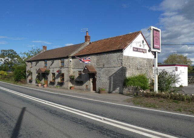
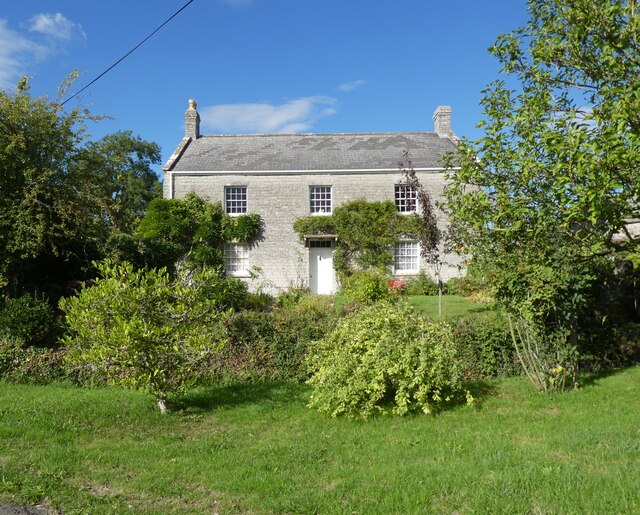
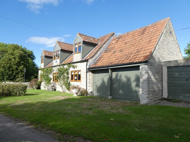
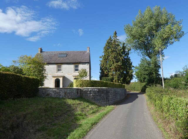
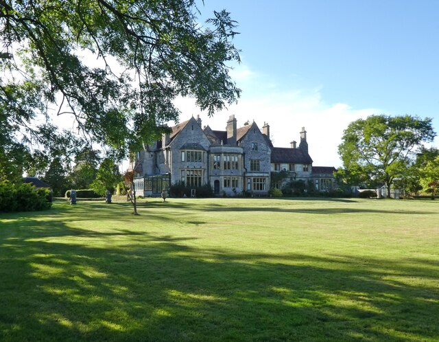
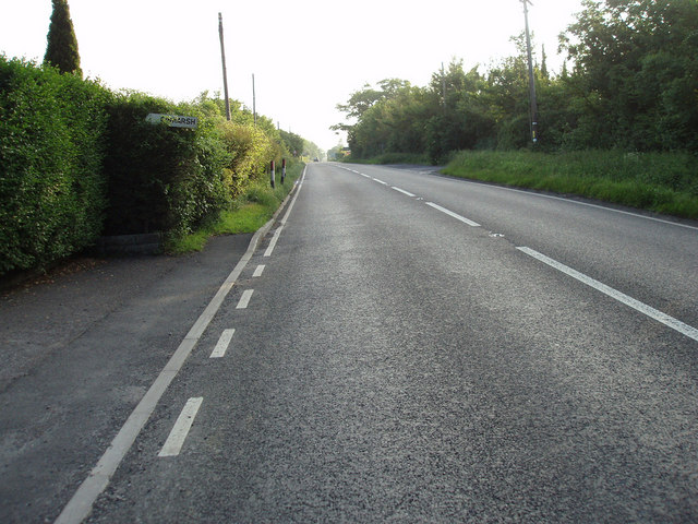
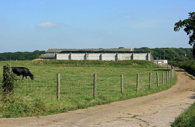
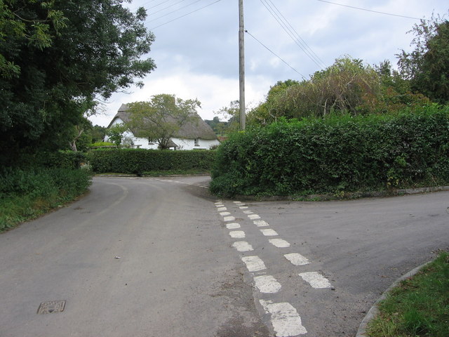
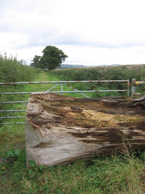
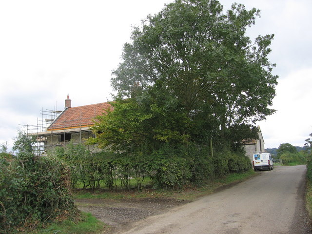
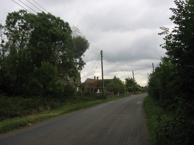
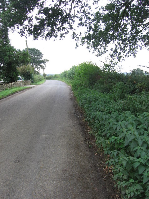
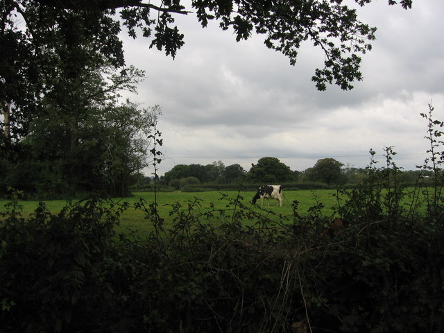
The village of West Bradley is characterized by its picturesque rural setting, with rolling hills, meadows, and farmland surrounding the area. The landscape is dotted with charming stone cottages and traditional farmhouses, reflecting the area's agricultural heritage.
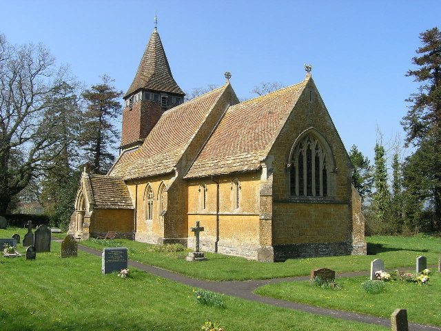
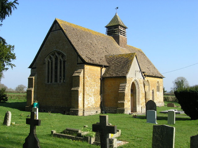
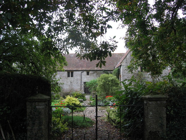
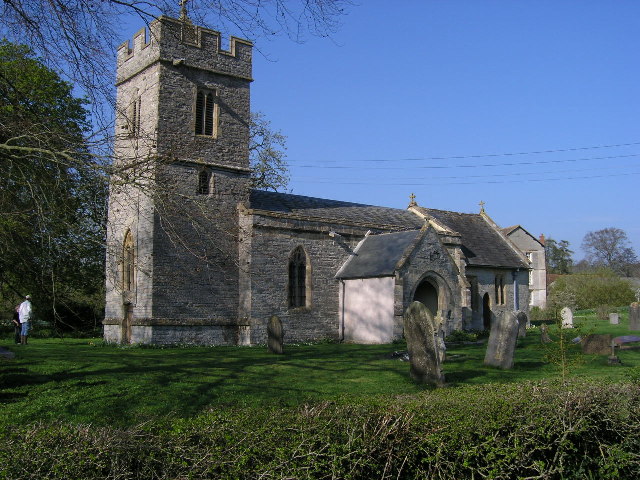
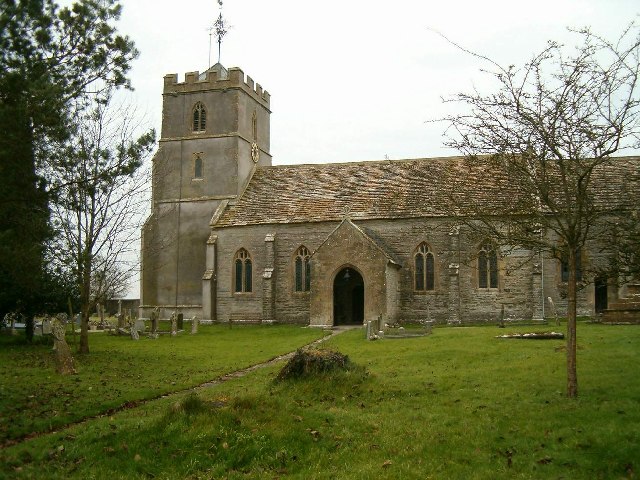
One of the prominent features of West Bradley is St. Martin's Church, a Grade II listed building dating back to the 14th century. The church is known for its impressive architecture and beautiful stained glass windows, attracting visitors and historians alike.
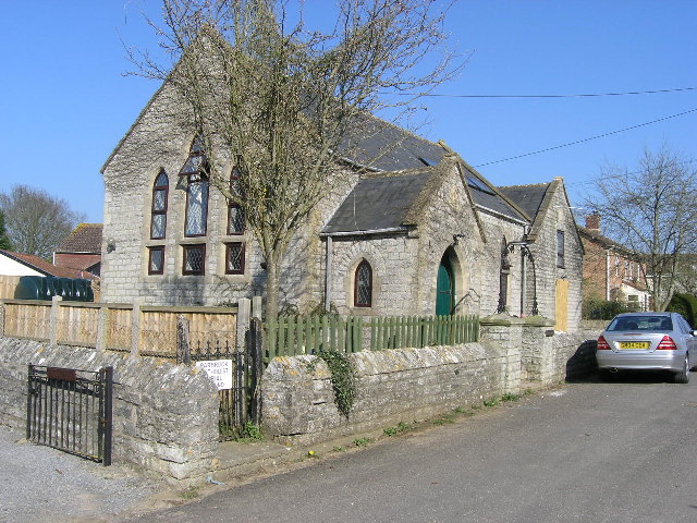
Despite its small size, the parish offers a range of amenities and services to its residents. These include a primary school, a village hall, and a local pub, providing a sense of community and meeting spaces for various social activities.
West Bradley also benefits from its proximity to Glastonbury, where residents can access a wider range of services, including shops, supermarkets, healthcare facilities, and leisure activities.
Overall, West Bradley offers a tranquil and idyllic countryside living experience, with easy access to nearby towns and amenities. Its rich history, natural beauty, and strong community spirit make it an attractive place to live or visit.
If you have any feedback on the listing, please let us know in the comments section below.
West Bradley Images
Images are sourced within 2km of 51.114001/-2.609888 or Grid Reference ST5735. Thanks to Geograph Open Source API. All images are credited.
West Bradley is located at Grid Ref: ST5735 (Lat: 51.114001, Lng: -2.609888)
Administrative County: Somerset
District: Mendip
Police Authority: Avon and Somerset
What 3 Words
///backed.outlines.craziest. Near Castle Cary, Somerset
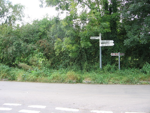
Nearby Locations
Related Wikis

Church of St Mary, West Bradley
The Anglican Church of St Mary in Lottisham, West Bradley, Somerset, England, was built in 1876. It is a Grade II* listed building. == History == The church...

West Bradley
West Bradley is a village and civil parish 4 miles south-east of Glastonbury in Somerset, England. The parish includes the hamlets of Hornblotton and Lottisham...
Church of St Andrew, West Bradley
The Anglican Church of St Andrew in West Bradley, within the English county of Somerset, dates from the 14th century. It is a Grade II* listed building...
Baltonsborough
Baltonsborough is a village and civil parish in Somerset, England. The parish had a population of 864 at the 2011 Census. As well as Baltonsborough village...

West Pennard Court Barn
West Pennard Court Barn (which is also known as the Court Barn, West Bradley) is a late 14th or early 15th century tithe barn which was built for Glastonbury...

East Pennard
East Pennard is a village and civil parish 4 miles (6.4 km) north west of Castle Cary, and 5 miles (8.0 km) south of Shepton Mallet, in the Mendip district...

Church of St Peter, Lydford-on-Fosse
The Church of St Peter in Lydford-on-Fosse, Somerset, England was built in 1846. It is a Grade II* listed building. == History == The church was built...

West Lydford
West Lydford is a village and former civil parish, now in the parish of Lydford-on-Fosse in Somerset, England. The village is spread along a stretch of...
Nearby Amenities
Located within 500m of 51.114001,-2.609888Have you been to West Bradley?
Leave your review of West Bradley below (or comments, questions and feedback).