Ewart Hill
Hill, Mountain in Northumberland
England
Ewart Hill
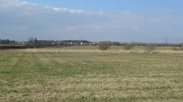
Ewart Hill is a prominent landmark located in the county of Northumberland, England. Situated near the village of Ewart, this hill is part of the Cheviot Hills range, which is renowned for its stunning natural beauty and rugged landscapes.
Ewart Hill stands at an elevation of approximately 422 meters (1,385 feet) above sea level, making it one of the highest peaks in the area. The hill is characterized by its distinctive cone-shaped summit, which offers breathtaking panoramic views of the surrounding countryside. On clear days, visitors can marvel at the rolling green hills, picturesque valleys, and distant mountains that stretch as far as the eye can see.
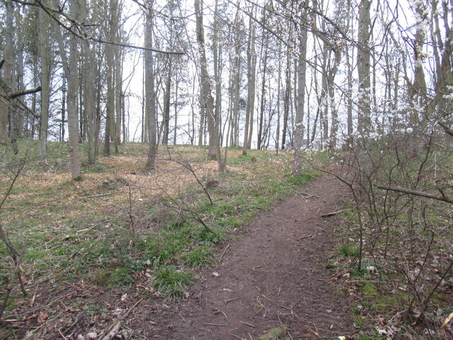
The terrain of Ewart Hill is primarily composed of grassy slopes, interspersed with patches of heather and moorland. The hill is a popular destination for hikers and nature enthusiasts, who can explore its diverse flora and fauna while enjoying the fresh air and peaceful ambiance.
The area surrounding Ewart Hill is rich in history and heritage, with several ancient sites and landmarks nearby. Ewart Castle, a medieval fortress that dates back to the 14th century, is just a short distance from the hill. Additionally, the ruins of a Roman fort can be found in the vicinity, offering a glimpse into the region's past.
Overall, Ewart Hill in Northumberland is a captivating destination for those seeking natural beauty, tranquility, and a sense of history. Whether one is looking to embark on a challenging hike or simply soak in the scenic vistas, this hill provides a memorable experience for all who visit.
If you have any feedback on the listing, please let us know in the comments section below.
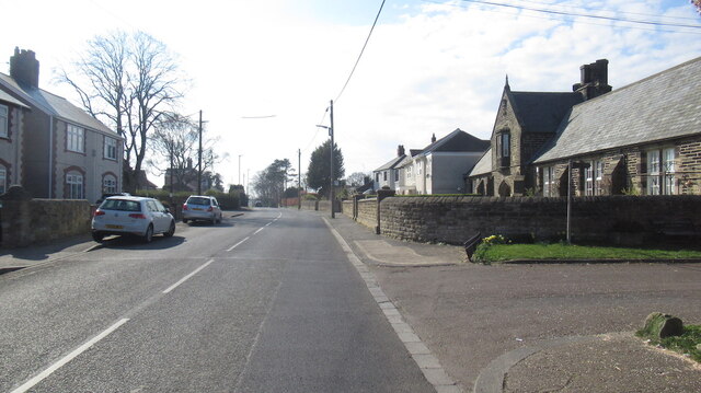
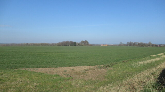
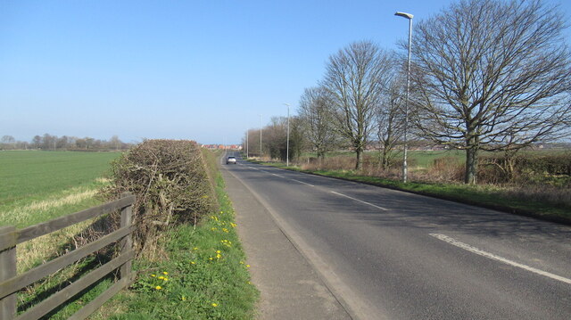
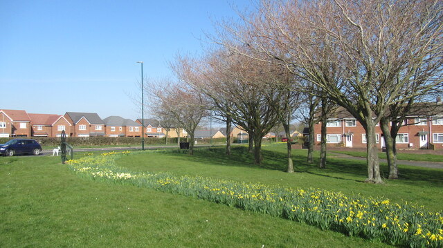
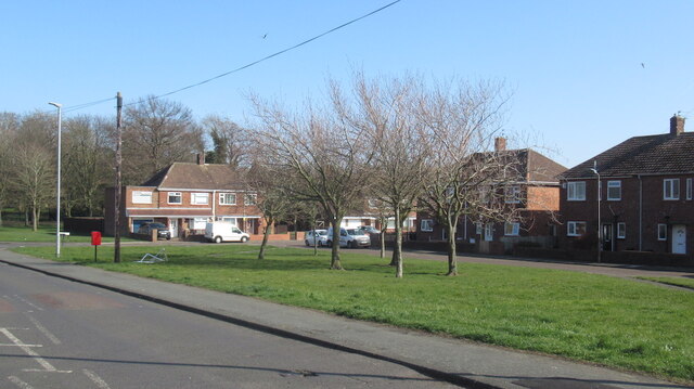
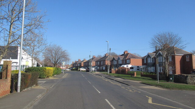
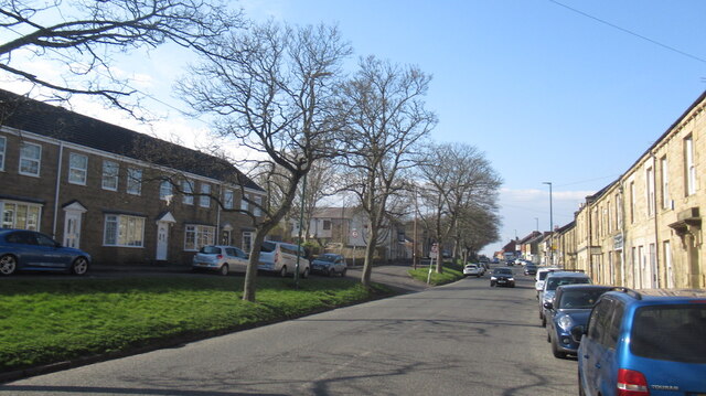
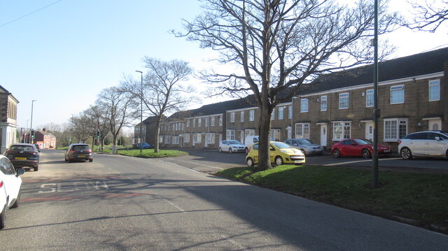
Ewart Hill Images
Images are sourced within 2km of 55.122775/-1.6150848 or Grid Reference NZ2481. Thanks to Geograph Open Source API. All images are credited.
Ewart Hill is located at Grid Ref: NZ2481 (Lat: 55.122775, Lng: -1.6150848)
Unitary Authority: Northumberland
Police Authority: Northumbria
What 3 Words
///drop.twinge.freely. Near Bedlington, Northumberland
Nearby Locations
Related Wikis

Plessey Woods Country Park
Plessey Woods is a country park situated on the north bank of the River Blyth, in Northumberland. The park is accessed from the A192 in the village of...

Nedderton
Nedderton is a village in Northumberland, England about 4 miles (6 km) southeast of Morpeth, just off the A192 road. == History == In the early part of...

St Benet Biscop Catholic Academy
St. Benet Biscop Catholic Academy (formerly S. Benet Biscop Catholic High School) is a Roman Catholic high school in Bedlington, Northumberland, England...
Bedlington Ironworks
Bedlington Ironworks, in Blyth Dene, Northumberland, England, operated between 1736 and 1867. It is most remembered as the place where wrought iron rails...
Bedlington Terriers F.C.
Bedlington Terriers Football Club is a football club based in Bedlington, England. The club are currently members of the Northern League Division Two and...

Bebside
Bebside is a village and former civil parish, now in the parish of Blyth, in Northumberland, in England. It is situated to the west of Blyth. It was formerly...

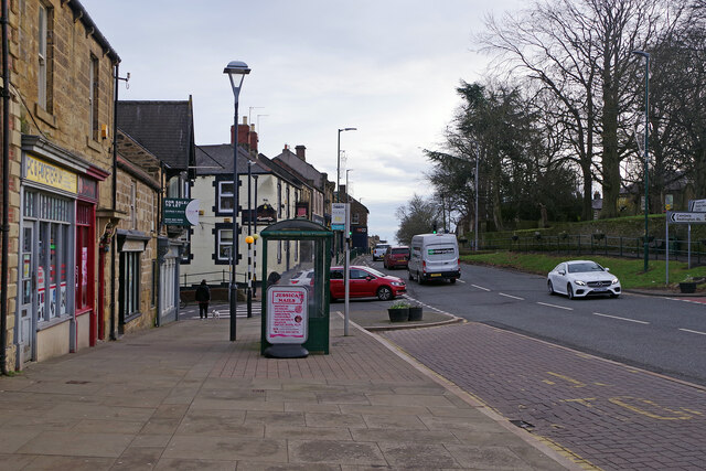
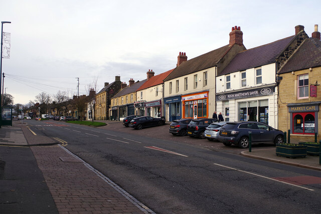
Bedlington
Bedlington is a town and former civil parish in Northumberland, England, with a population of 18,470 measured at the 2011 Census.Bedlington is an ancient...
Choppington
Choppington is a large village and civil parish in Northumberland, England. It is situated 5 miles to the south-east of Morpeth, and north of Bedlington...
Nearby Amenities
Located within 500m of 55.122775,-1.6150848Have you been to Ewart Hill?
Leave your review of Ewart Hill below (or comments, questions and feedback).