West and Middle Chinnock

Civil Parish in Somerset South Somerset

England

West and Middle Chinnock

Balham Hill Balham Hill across the river Parrett at Byme Bridge.
Balham Hill Credit: Rupert Fleetingly

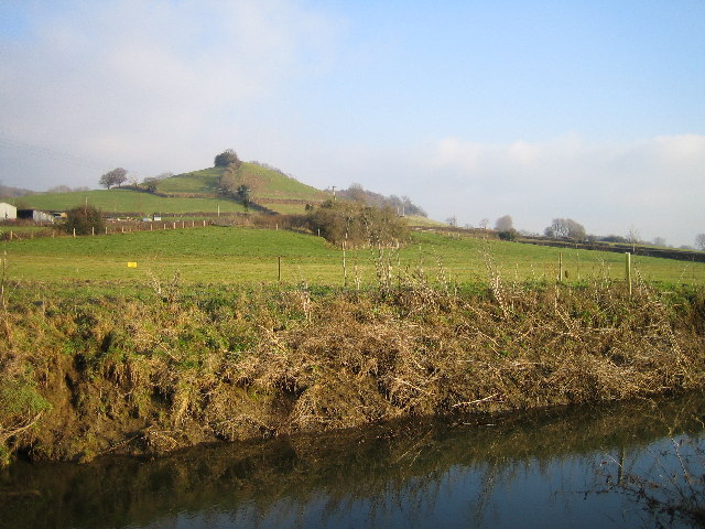
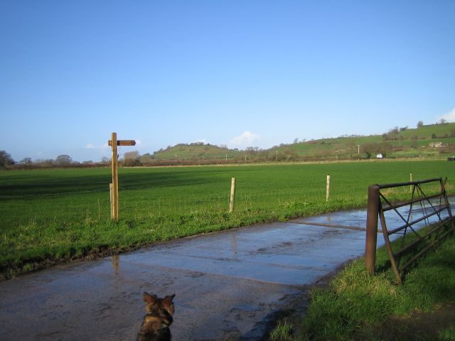
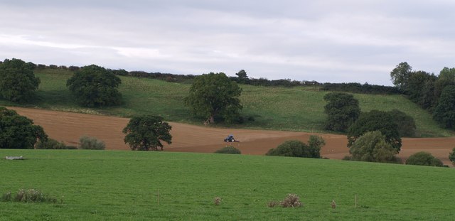
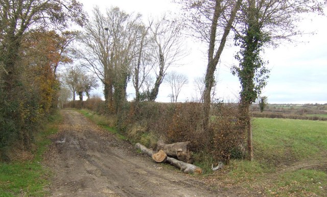
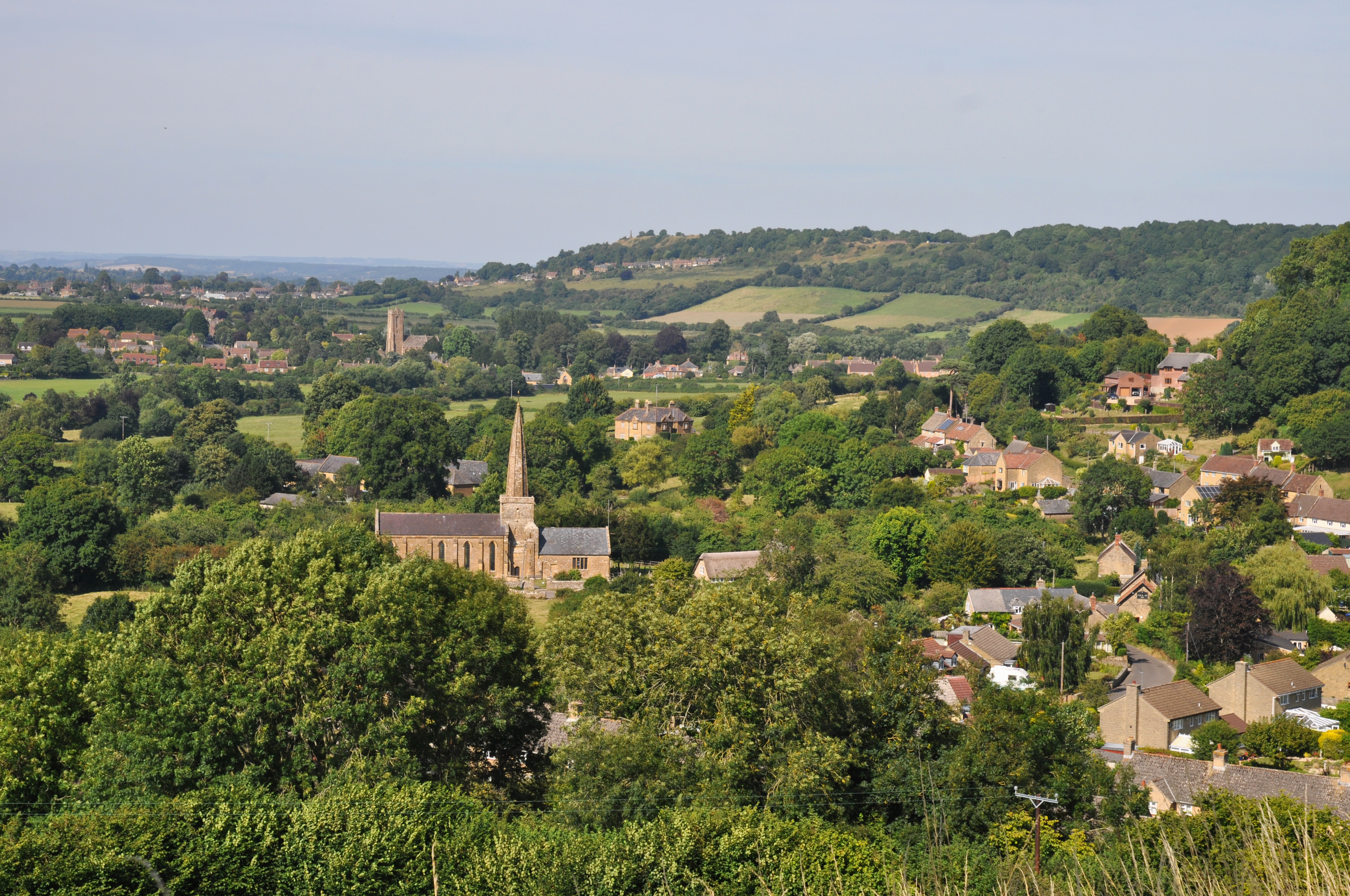
West and Middle Chinnock is a civil parish located in the county of Somerset, England. It is situated approximately 5 miles northeast of Crewkerne and 9 miles southwest of Yeovil. The parish is made up of two villages, West Chinnock and Middle Chinnock, which are separated by a small stream.

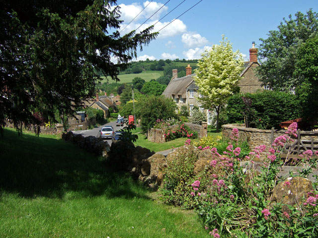
West Chinnock is the larger of the two villages and has a population of around 500 residents. It is known for its picturesque setting, with charming thatched cottages and a traditional village green. The village has a close-knit community and a friendly atmosphere, making it a desirable place to live.

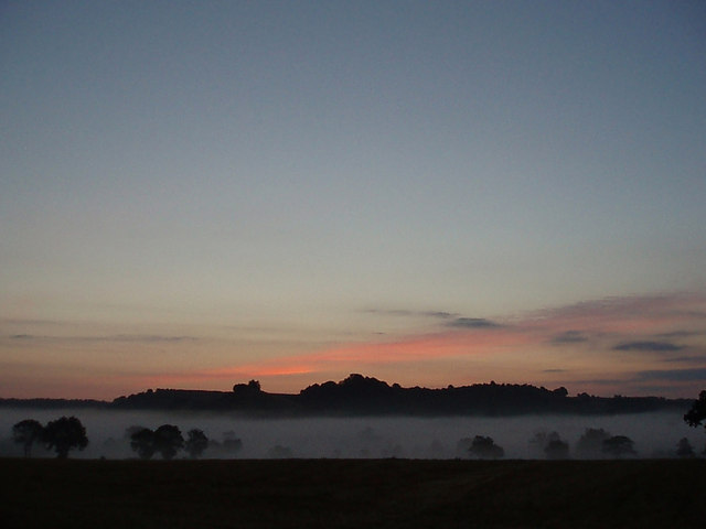
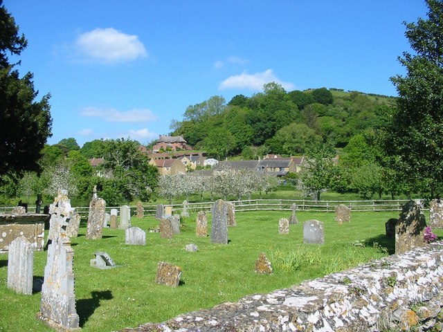
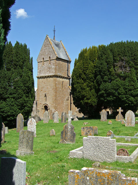
Middle Chinnock, on the other hand, is a smaller village with a population of around 200 people. It is located on higher ground and provides breathtaking views of the surrounding countryside. The village is characterized by its historic buildings, including a medieval church and several listed houses.

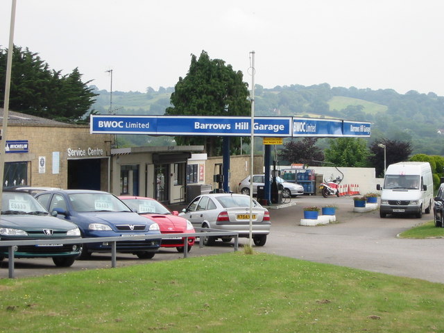
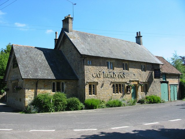
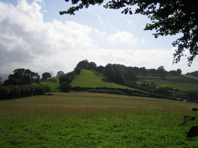
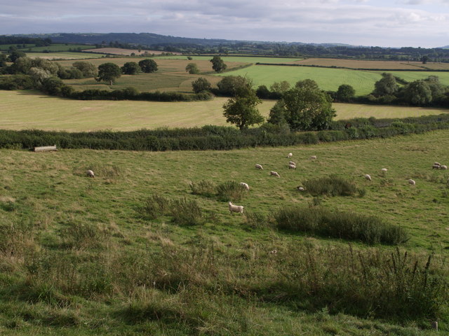
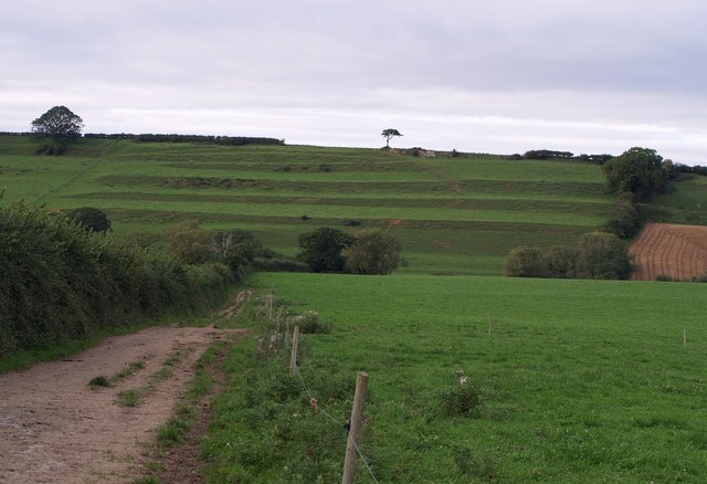
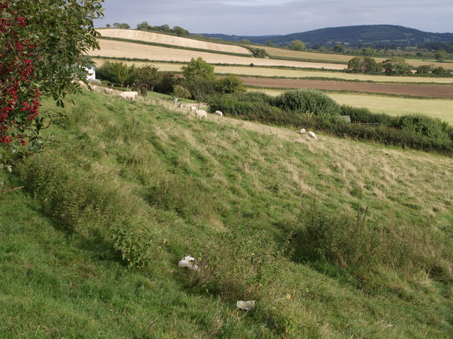
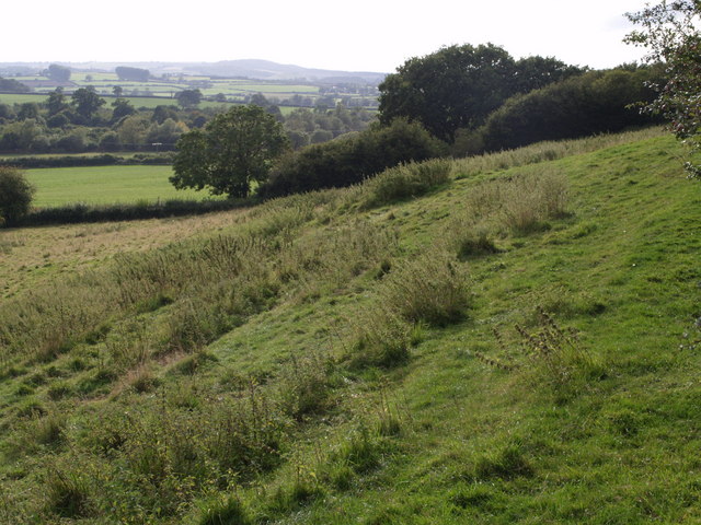
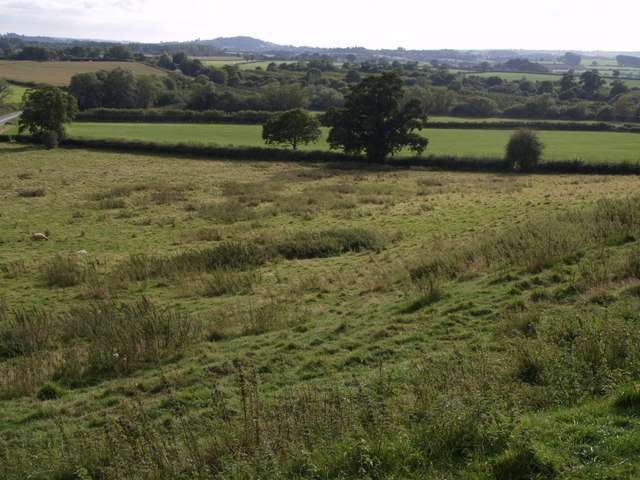
Both villages offer a range of amenities for residents, including a primary school, village hall, and a pub. The area is well-connected, with good transport links to nearby towns and cities. The beautiful countryside surrounding West and Middle Chinnock provides ample opportunities for outdoor activities such as walking, cycling, and horse riding.

Overall, West and Middle Chinnock is a delightful civil parish that offers a peaceful and idyllic setting for residents. With its charming villages, friendly community, and stunning countryside, it is no wonder that this area is highly sought after by those looking for a rural retreat in Somerset.

If you have any feedback on the listing, please let us know in the comments section below.

West and Middle Chinnock Images

Images are sourced within 2km of 50.918084/-2.751378 or Grid Reference ST4713. Thanks to Geograph Open Source API. All images are credited.

Balham Hill Balham Hill across the river Parrett at Byme Bridge.
Balham Hill
Balham Hill across the river Parrett at Byme Bridge.
St. Margaret, Middle Chinnock
Barrows Hill Garage Barrows Hill Garage, East Chinnock - On the A30
Barrows Hill Garage
Barrows Hill Garage, East Chinnock - On the A30
Looking towards Balham Hill
Fields Fields at Eastfield Farm. Balham Hill on the horizon.
Fields
Fields at Eastfield Farm. Balham Hill on the horizon.
The Cat Head Inn, Chiselborough,  Somerset In the heart of a beautiful village.
The Cat Head Inn, Chiselborough, Somerset
In the heart of a beautiful village.
Churchyard, Chiselborough, Somerset. Looking across the churchyard of the Church of St. Peter and St. Paul. Beyond the fence is an orchard. On this day the village was filled with the heavy scent of many flowers in the cottage gardens.
Churchyard, Chiselborough, Somerset.
Looking across the churchyard of the Church of St. Peter and St. Paul. Beyond the fence is an orchard. On this day the village was filled with the heavy scent of many flowers in the cottage gardens.
St Mary's Church - West Chinnock
West Chinnock
West Chinnock
Church of St Peter & St Paul - Chiselborough Framing the shot from the lane to the church was just too much for the wide angle lens on my camera, it just wouldn't fit! A kindly soul in the house opposite the church gave me permission to take the shot from his garden - success!
Church of St Peter & St Paul - Chiselborough
Framing the shot from the lane to the church was just too much for the wide angle lens on my camera, it just wouldn't fit! A kindly soul in the house opposite the church gave me permission to take the shot from his garden - success!
Brympton Hill Brympton Hill as seen from Smoky Hole Lane.
Brympton Hill
Brympton Hill as seen from Smoky Hole Lane.
View from Barrows Hill At the foot of the hill beyond the grazing sheep, the A30 runs between the hedges. It is about to cross Broad River, whose course is marked by the winding line of bushes and trees beyond. Seen from the lane which runs along the edge of Barrows Hill from a junction with the A30 to Middle Chinnock.
View from Barrows Hill
At the foot of the hill beyond the grazing sheep, the A30 runs between the hedges. It is about to cross Broad River, whose course is marked by the winding line of bushes and trees beyond. Seen from the lane which runs along the edge of Barrows Hill from a junction with the A30 to Middle Chinnock.
Strip Lynchets Strip Lynchets on the steep south-facing oolite slope of West Chinnock Hill. Seen from footpath Y11/8, here followed by both the Monarch's Way and the Liberty Trail.
Strip Lynchets
Strip Lynchets on the steep south-facing oolite slope of West Chinnock Hill. Seen from footpath Y11/8, here followed by both the Monarch's Way and the Liberty Trail.
Farmland near West Chinnock A tractor works on a field on the slopes of West Chinnock Hill, just east of the lynchets seen in <a href="https://www.geograph.org.uk/photo/541853">ST4612 : Strip Lynchets</a>; doubtless they would have continued across this slope, but have been removed. Out of sight in the dip, following the line of trees, is Broad River. Seen from footpath Y11/8, here followed by both the Monarch's Way and the Liberty Trail.
Farmland near West Chinnock
A tractor works on a field on the slopes of West Chinnock Hill, just east of the lynchets seen in ST4612 : Strip Lynchets; doubtless they would have continued across this slope, but have been removed. Out of sight in the dip, following the line of trees, is Broad River. Seen from footpath Y11/8, here followed by both the Monarch's Way and the Liberty Trail.
Barrows Hill From the same spot as <a href="https://www.geograph.org.uk/photo/541778">ST4712 : View from Barrows Hill</a>, looking further east. The square extends only as far as the grazing sheep and the hedge. The A30, hidden by the further hedge, is in ST4812, as are the fields beyond on Elliots Hill.
Barrows Hill
From the same spot as ST4712 : View from Barrows Hill, looking further east. The square extends only as far as the grazing sheep and the hedge. The A30, hidden by the further hedge, is in ST4812, as are the fields beyond on Elliots Hill.
Barrows Hill Looking west from the spot from which <a href="https://www.geograph.org.uk/photo/541778">ST4712 : View from Barrows Hill</a> and <a href="https://www.geograph.org.uk/photo/542505">ST4712 : Barrows Hill</a> were taken. Foxwell Lane drops past the trees down the hill towards the A30. Beyond, on the left, trees indicate the line of Broad River, and beyond that are orchards surrounding North Down Farm.
Barrows Hill
Looking west from the spot from which ST4712 : View from Barrows Hill and ST4712 : Barrows Hill were taken. Foxwell Lane drops past the trees down the hill towards the A30. Beyond, on the left, trees indicate the line of Broad River, and beyond that are orchards surrounding North Down Farm.
View southwest  from Barrows Hill From the same point as <a href="https://www.geograph.org.uk/photo/542524">ST4712 : Barrows Hill</a>, but looking further to the left. Foxwell lane runs past the nearest trees to join the A30 at the extreme left. Beyond the two flat fields, Broad River follows the trees, with orchards beyond.
View southwest from Barrows Hill
From the same point as ST4712 : Barrows Hill, but looking further to the left. Foxwell lane runs past the nearest trees to join the A30 at the extreme left. Beyond the two flat fields, Broad River follows the trees, with orchards beyond.
Wall Ditch Lane A bridleway heading for Merriott Green Nap.
Wall Ditch Lane
A bridleway heading for Merriott Green Nap.
Show me another place!

West and Middle Chinnock is located at Grid Ref: ST4713 (Lat: 50.918084, Lng: -2.751378)

Administrative County: Somerset

District: South Somerset

Police Authority: Avon and Somerset

What 3 Words

///offer.gears.paddlers. Near Merriott, Somerset

Related Wikis

Middle Chinnock

Middle Chinnock is a village in the civil parish of West and Middle Chinnock, in Somerset, England, 3 miles (4.8 km) north east of Crewkerne. It lies 0...

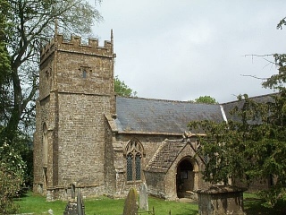
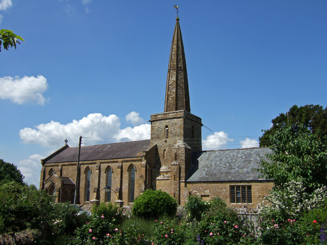
Church of St Margaret, Middle Chinnock

The Anglican Church of St Margaret in Middle Chinnock, Somerset, England was built in the 12th century. It is a Grade II* listed building. == History... ==

West Chinnock

West Chinnock is a village and former civil parish, now in the parish of West and Middle Chinnock, in the Somerset district, in the ceremonial county of...

Church of the Blessed Virgin Mary, West Chinnock

The Church of the Blessed Virgin Mary is a Church of England church in West Chinnock, Somerset, England. It has 13th-century origins but was largely rebuilt...

The Chinnocks

The Chinnocks are three villages in Somerset, England, south west of Yeovil in the South Somerset district: East Chinnock Middle Chinnock West ChinnockThe...

Chiselborough

Chiselborough is a village in the South Somerset district of Somerset, England. It is situated on the River Parrett, 5 miles (8 km) west of Yeovil, and...

Church of St Peter and St Paul, Chiselborough

The Anglican Church of St Peter and St Paul in Chiselborough, Somerset, England was built in the 12th century. It is a Grade II* listed building. ��2...

Tinker's Bubble

Tinker's Bubble is an intentional community located at Norton Covert in Little Norton near Yeovil in south Somerset, England. It was established in 1994...

Nearby Amenities

Located within 500m of 50.918084,-2.751378
West Chinnock
Place: village
Source: npe
Wikidata: Q14955704
Wikipedia: en:West Chinnock
Lat/Long: 50.9182334/-2.7584999
Middle Chinnock
Place: hamlet
Source: npe
Wikidata: Q2405885
Wikipedia: en:The Chinnocks
Lat/Long: 50.9168375/-2.7515406
Pub
The Muddled Man
Website: http://www.themuddledman.co.uk/
Wikidata: Q26308946
Lat/Long: 50.9201388/-2.7568625
Poop Hill Bridge
Place: locality
Lat/Long: 50.9206874/-2.7528167
Public Bookcase
Booth: K6
Disused Amenity: telephone
Listed Status: Grade II
Man Made: telephone_box
Public Bookcase Type: phone_box
Lat/Long: 50.9181343/-2.7584506
Shelter
Shelter Type: public_transport
Lat/Long: 50.9181941/-2.7583612
Entrance: main
Lat/Long: 50.9151251/-2.7523963
Defibrillator
Access: yes
Defibrillator Location: outside Muddled Man pub, West Chinnock
Emergency: defibrillator
Indoor: no
Ref GB The Circuit: 6CDD06A4-751B-4FA6-8EC2-AD2100B81EE2
Lat/Long: 50.9202113/-2.7569882
The data included in this document is from www.openstreetmap.org. The data is made available under ODbL.

Have you been to West and Middle Chinnock?

Leave your review of West and Middle Chinnock below (or comments, questions and feedback).