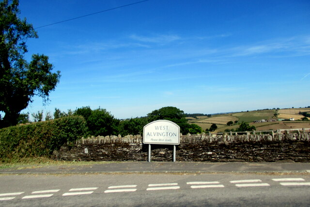
West Alvington
Civil Parish in Devon South Hams
England
West Alvington
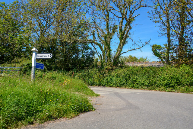
West Alvington is a civil parish located in the county of Devon, England. Situated approximately one mile west of the market town of Kingsbridge, it covers an area of about 3.5 square miles. The parish is bordered by the River Avon to the east, which separates it from the parish of Aveton Gifford.
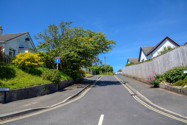
The village of West Alvington is a picturesque rural settlement with a population of around 1,200 residents. It is known for its charming stone cottages and historic buildings, including the Grade I listed Church of St. Andrew, which dates back to the 13th century. The church features a Norman font and a tower built in the 15th century.
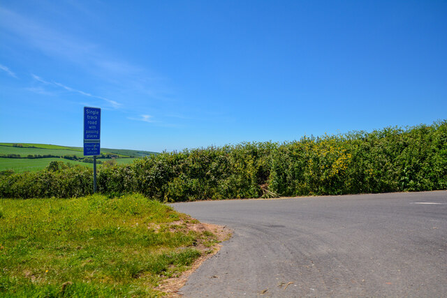
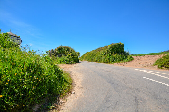
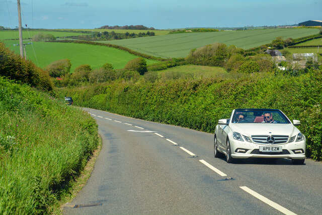
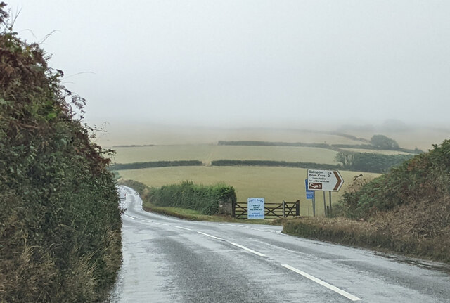
Agriculture has been a significant part of West Alvington's economy for centuries, and the parish still maintains a strong farming presence today. The surrounding countryside is characterized by rolling hills, farmland, and patches of woodland, creating a scenic landscape popular with walkers and nature enthusiasts.
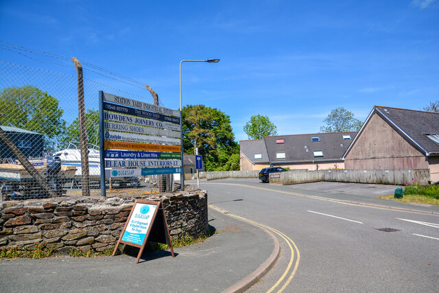
The community in West Alvington is close-knit and vibrant, with several local amenities and social groups catering to residents of all ages. These include a primary school, a village hall, a post office, and a pub, providing essential services and fostering a sense of community spirit.
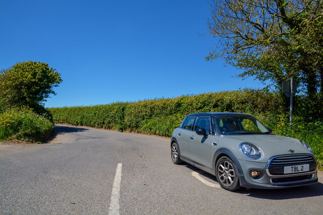
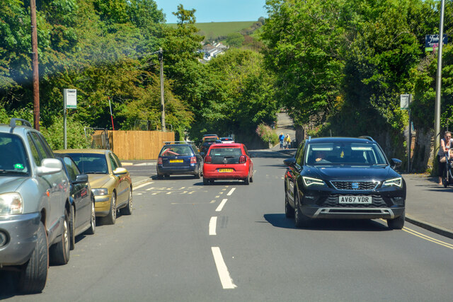
Due to its proximity to Kingsbridge, West Alvington benefits from easy access to a wider range of amenities, such as shops, supermarkets, and healthcare facilities. The nearby A381 road connects the parish to other parts of Devon, making it convenient for commuters and visitors alike.
Overall, West Alvington offers a tranquil and picturesque place to live, with a rich history, thriving community, and beautiful natural surroundings.
If you have any feedback on the listing, please let us know in the comments section below.
West Alvington Images
Images are sourced within 2km of 50.269105/-3.795051 or Grid Reference SX7242. Thanks to Geograph Open Source API. All images are credited.
![Kingsbridge houses [24] Redford House, Union Road, was formerly known as Redford Court and earlier as The Retreat. Built in a Tudor style, circa 1840 with a later extension. Constructed of stuccoed stone under a slate roof. The house has elaborately carved barge boards. In front are cast iron gates and railings with square gate piers. There is another image of the house at <a href="https://www.geograph.org.uk/photo/7576869">SX7344 : Kingsbridge houses [25]</a>. Listed, grade II, with details at: <span class="nowrap"><a title="https://historicengland.org.uk/listing/the-list/list-entry/1249502" rel="nofollow ugc noopener" href="https://historicengland.org.uk/listing/the-list/list-entry/1249502">Link</a><img style="margin-left:2px;" alt="External link" title="External link - shift click to open in new window" src="https://s1.geograph.org.uk/img/external.png" width="10" height="10"/></span>
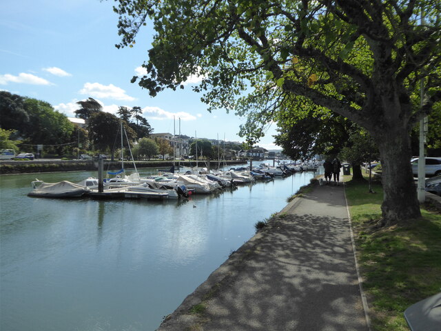
Kingsbridge is a market town in the South Hams district of Devon. It is located at the head of an estuary some 17 miles southwest of Torquay and about 17 miles southeast of Plymouth. The town formed around a bridge built in or before the 10th century between two royal estates, giving it the name of Kyngysbrygge (&quot;King&#039;s bridge&quot;). Situated in the South Devon Area of Outstanding Natural Beauty and close to the South Devon coast, the town is a popular tourist destination.](https://s0.geograph.org.uk/geophotos/07/57/68/7576868_907a3086.jpg)
![Kingsbridge houses [25] The annex to Redford House is Bryherstones. Redford House, Union Road, was formerly known as Redford Court and earlier as The Retreat. Built in a Tudor style, circa 1840 with a later extension. Constructed of stuccoed stone under a slate roof. The house has elaborately carved barge boards. In front are cast iron gates and railings with square gate piers. There is another image of the house at <a href="https://www.geograph.org.uk/photo/7576868">SX7344 : Kingsbridge houses [24]</a>. Listed, grade II, with details at: <span class="nowrap"><a title="https://historicengland.org.uk/listing/the-list/list-entry/1249502" rel="nofollow ugc noopener" href="https://historicengland.org.uk/listing/the-list/list-entry/1249502">Link</a><img style="margin-left:2px;" alt="External link" title="External link - shift click to open in new window" src="https://s1.geograph.org.uk/img/external.png" width="10" height="10"/></span>
Kingsbridge is a market town in the South Hams district of Devon. It is located at the head of an estuary some 17 miles southwest of Torquay and about 17 miles southeast of Plymouth. The town formed around a bridge built in or before the 10th century between two royal estates, giving it the name of Kyngysbrygge (&quot;King&#039;s bridge&quot;). Situated in the South Devon Area of Outstanding Natural Beauty and close to the South Devon coast, the town is a popular tourist destination.](https://s1.geograph.org.uk/geophotos/07/57/68/7576869_51619c74.jpg)
![Kingsbridge buildings [75] Quay House, Ilbert Road, is a house now used as offices. Built in 1789 of stone under a slate roof. The porch has slender Doric columns. Listed, grade II, with details at: <span class="nowrap"><a title="https://historicengland.org.uk/listing/the-list/list-entry/1249367" rel="nofollow ugc noopener" href="https://historicengland.org.uk/listing/the-list/list-entry/1249367">Link</a><img style="margin-left:2px;" alt="External link" title="External link - shift click to open in new window" src="https://s1.geograph.org.uk/img/external.png" width="10" height="10"/></span>
Kingsbridge is a market town in the South Hams district of Devon. It is located at the head of an estuary some 17 miles southwest of Torquay and about 17 miles southeast of Plymouth. The town formed around a bridge built in or before the 10th century between two royal estates, giving it the name of Kyngysbrygge (&quot;King&#039;s bridge&quot;). Situated in the South Devon Area of Outstanding Natural Beauty and close to the South Devon coast, the town is a popular tourist destination.](https://s1.geograph.org.uk/geophotos/07/57/68/7576893_b45c4499.jpg)
![Kingsbridge buildings [77] The Seven Stars Inn, number 13 Mill Street, was probably built in the 18th century with later alterations. Constructed of rubble stone under slate roofs.
Listed, grade II, with details at: <span class="nowrap"><a title="https://historicengland.org.uk/listing/the-list/list-entry/1249420" rel="nofollow ugc noopener" href="https://historicengland.org.uk/listing/the-list/list-entry/1249420">Link</a><img style="margin-left:2px;" alt="External link" title="External link - shift click to open in new window" src="https://s1.geograph.org.uk/img/external.png" width="10" height="10"/></span>
Kingsbridge is a market town in the South Hams district of Devon. It is located at the head of an estuary some 17 miles southwest of Torquay and about 17 miles southeast of Plymouth. The town formed around a bridge built in or before the 10th century between two royal estates, giving it the name of Kyngysbrygge (&quot;King&#039;s bridge&quot;). Situated in the South Devon Area of Outstanding Natural Beauty and close to the South Devon coast, the town is a popular tourist destination.](https://s1.geograph.org.uk/geophotos/07/57/79/7577913_2671e907.jpg)
West Alvington is located at Grid Ref: SX7242 (Lat: 50.269105, Lng: -3.795051)
Administrative County: Devon
District: South Hams
Police Authority: Devon & Cornwall
What 3 Words
///nosedive.destiny.tedious. Near Kingsbridge, Devon
Nearby Locations
Related Wikis

Kingsbridge Community College
Kingsbridge Community College is a co-educational secondary school and sixth form with academy status, located in Kingsbridge in the English county of...

South Milton
South Milton (anciently Mideltone, Middleton, Middelton, etc.) is a village and civil parish in the South Hams district, in the county of Devon, England...

West Alvington
West Alvington is a village and civil parish on the outskirts of Kingsbridge in South Hams, Devon on the A381 road. In 2021 the parish had a population...

Kingsbridge railway station (England)
Kingsbridge railway station was the terminus station of the single track branch GWR line from Brent to the town of Kingsbridge. == History == The station...
Nearby Amenities
Located within 500m of 50.269105,-3.795051Have you been to West Alvington?
Leave your review of West Alvington below (or comments, questions and feedback).