West Allen

Civil Parish in Northumberland

England

West Allen

Old railway goods van near Mohope Head (2) See also <a href="https://www.geograph.org.uk/photo/692103">NY7750 : Old railway goods van near Mohope Head</a>.
Old railway goods van near Mohope Head (2) Credit: Mike Quinn

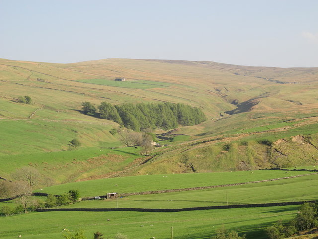
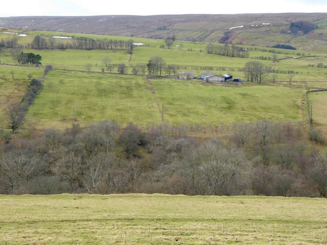
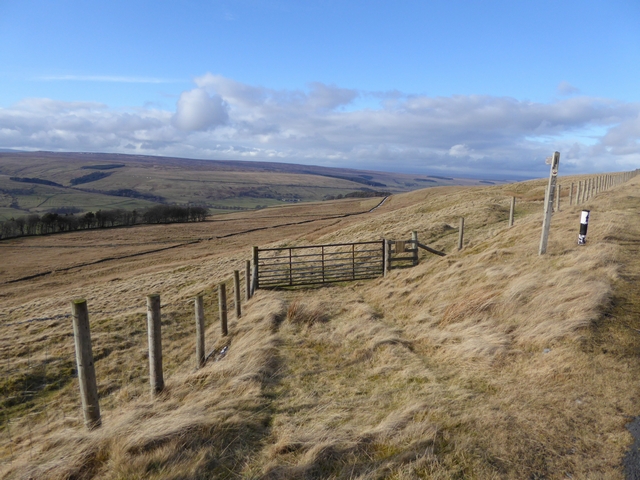
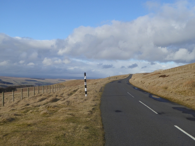
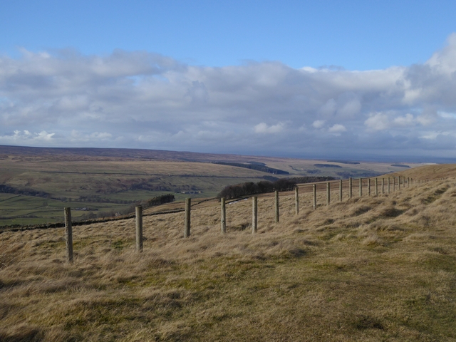
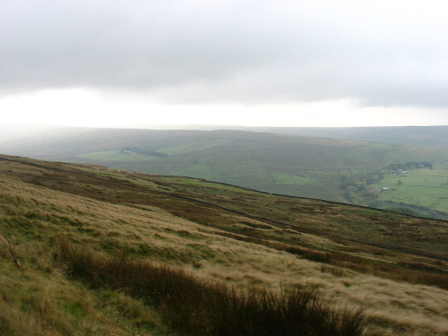
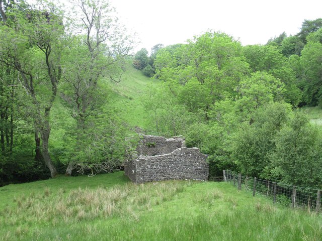
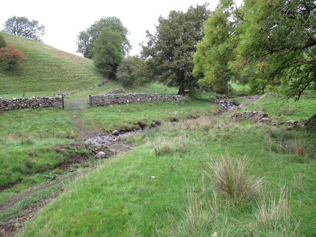
West Allen is a civil parish located in the county of Northumberland, England. Situated in the picturesque Allen Valley, it covers an area of approximately 36 square kilometers. The parish is nestled between the towns of Allendale and Hexham, enjoying a rural setting with stunning natural landscapes.

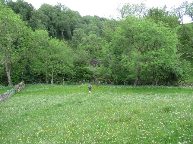
The centerpiece of West Allen is the River Allen, which meanders through the parish, providing a scenic backdrop and an important water source for the surrounding agricultural lands. The river also offers opportunities for fishing and leisurely walks along its banks.

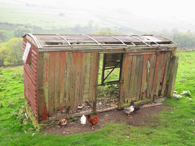
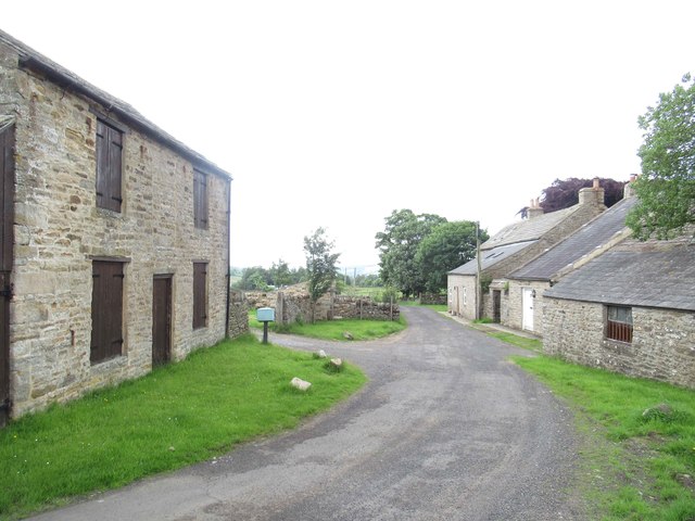
The parish comprises several small hamlets and farms, including Catton, Whitfield, and Sinderhope. These settlements are characterized by their charming stone-built houses, typical of the Northumberland region. Agriculture plays a significant role in the local economy, with farming activities focused on livestock rearing and crop cultivation.

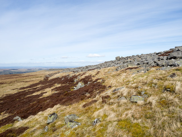
West Allen is blessed with an abundance of natural beauty, with rolling hills, woodlands, and meadows dotting the landscape. The area is also home to a variety of wildlife, including red squirrels, otters, and a rich array of bird species, making it a haven for nature enthusiasts.

The community of West Allen is tight-knit and friendly, with a strong sense of community spirit. The parish has a village hall, which serves as a hub for various social and recreational activities. There are also a few local businesses, including a pub and a small shop, catering to the everyday needs of the residents.

Overall, West Allen offers a tranquil and idyllic setting for those seeking a rural lifestyle, surrounded by stunning natural scenery and a warm community spirit.

If you have any feedback on the listing, please let us know in the comments section below.
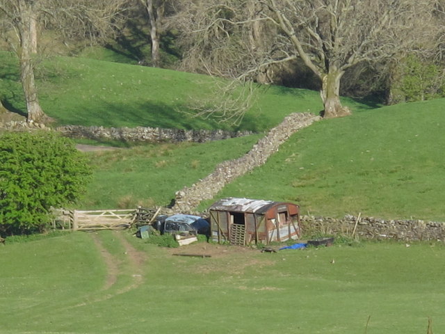
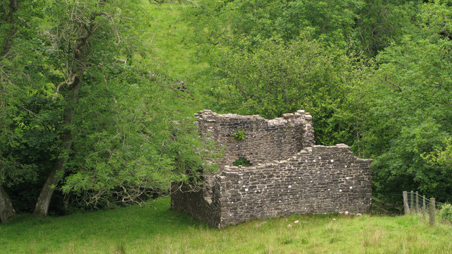
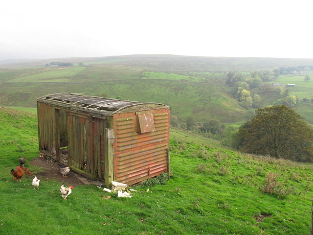
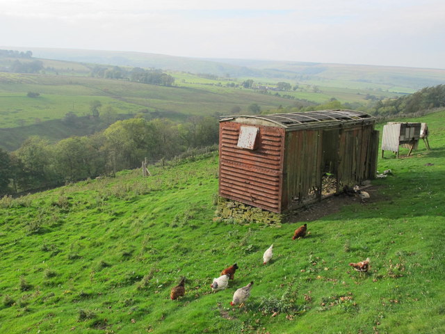
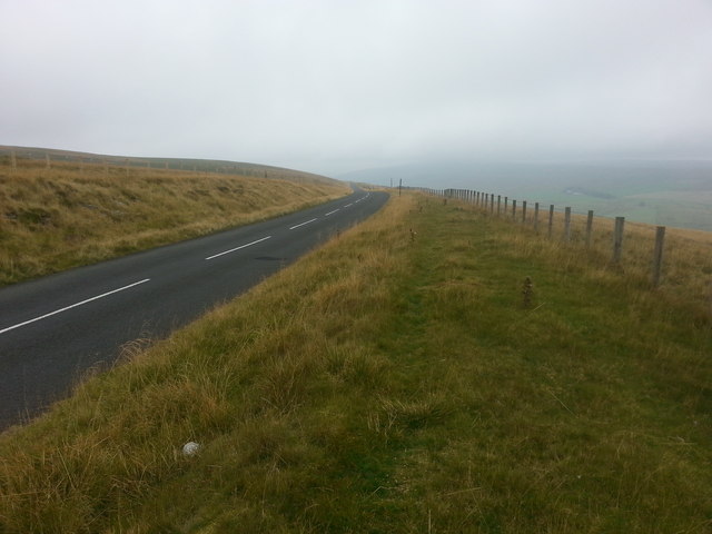
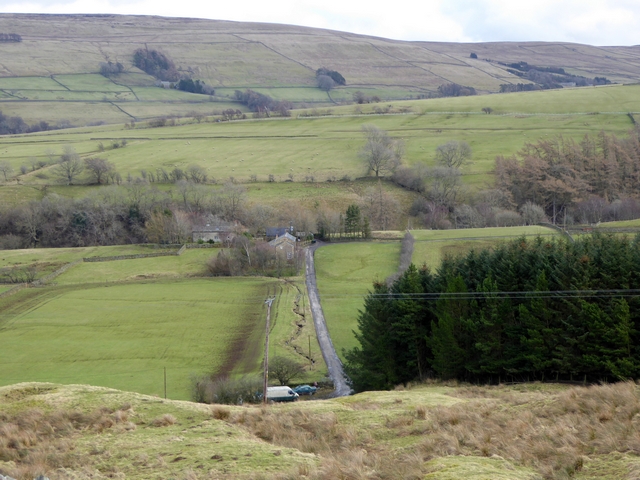
West Allen Images

Images are sourced within 2km of 54.839461/-2.328799 or Grid Reference NY7849. Thanks to Geograph Open Source API. All images are credited.

Old railway goods van near Mohope Head (2) See also <a href="https://www.geograph.org.uk/photo/692103">NY7750 : Old railway goods van near Mohope Head</a>.
Old railway goods van near Mohope Head (2)
The upper Mohope valley Shows the location of <a href="https://www.geograph.org.uk/photo/2384495">NY7750 : Old railway goods van near Mohope Head (2)</a>. In the middle distance (centre) is <a href="https://www.geograph.org.uk/photo/136467">NY7749 : Appletree Shield</a> and on the far side of the valley above the woodland is <a href="https://www.geograph.org.uk/photo/135202">NY7848 : New House</a> (both photographed by Andrew Smith).
The upper Mohope valley
Shows the location of NY7750 : Old railway goods van near Mohope Head (2). In the middle distance (centre) is NY7749 : Appletree Shield and on the far side of the valley above the woodland is NY7848 : New House (both photographed by Andrew Smith).
Ruined building at confluence of Mohope and Wellhope Burns The Mohope Burn is below to the left, the Wellhope to the right. The ruin is in the angle of the confluence; its purpose unknown.
Ruined building at confluence of Mohope and Wellhope Burns
The Mohope Burn is below to the left, the Wellhope to the right. The ruin is in the angle of the confluence; its purpose unknown.
Old railway goods van near Limestone Brae The location of this old railway goods van is shown in <a href="https://www.geograph.org.uk/photo/2632397">NY7950 : West Allen Dale around Limestone Brae</a> and <a href="https://www.geograph.org.uk/photo/2632414">NY7950 : West Allen Dale north of Limestone Brae</a>.
Old railway goods van near Limestone Brae
The location of this old railway goods van is shown in NY7950 : West Allen Dale around Limestone Brae and NY7950 : West Allen Dale north of Limestone Brae.
West Allen Dale around Limestone Brae Shows the location of <a href="https://www.geograph.org.uk/photo/2632388">NY7950 : Old railway goods van near Limestone Brae</a>.
West Allen Dale around Limestone Brae
West Allen Dale north of Limestone Brae Shows the location of <a href="https://www.geograph.org.uk/photo/2632388">NY7950 : Old railway goods van near Limestone Brae</a>.
West Allen Dale north of Limestone Brae
Descending Acton Moor
The Mo Hope valley A tributary of the River West Allen.
The Mo Hope valley
A tributary of the River West Allen.
View across West Allendale Compare with <a href="https://www.geograph.org.uk/photo/2091247">NY7850 : View across West Allendale</a> taken from an almost identical viewpoint. Dale House Farm in the middle distance with Ouston Fell on the horizon.
View across West Allendale
Compare with NY7850 : View across West Allendale taken from an almost identical viewpoint. Dale House Farm in the middle distance with Ouston Fell on the horizon.
Path to Taylorburn On the hillside above West Allendale. Compare with the snowy scene at <a href="https://www.geograph.org.uk/photo/1705418">NY7950 : Path to Taylorburn</a>.
Path to Taylorburn
On the hillside above West Allendale. Compare with the snowy scene at NY7950 : Path to Taylorburn.
Moorland road to Allendale This moorland road linking the upper end of West Allendale with Allendale Town rises to almost 500 metres above sea level.
Moorland road to Allendale
This moorland road linking the upper end of West Allendale with Allendale Town rises to almost 500 metres above sea level.
Fence line above West Allendale
Greenleycleugh Crags Greenleycleugh Crags is a long, low band of rock on the flank of Brownley Hill overlooking West Allendale. The rock is broken into blocks with little in the way of any continuous rock face.
Greenleycleugh Crags
Greenleycleugh Crags is a long, low band of rock on the flank of Brownley Hill overlooking West Allendale. The rock is broken into blocks with little in the way of any continuous rock face.
On Kevelin Moor Looking down into West Allen Dale.
On Kevelin Moor
Looking down into West Allen Dale.
Southern House at Nether House (West Allen) The southern house at Nether House, Mo Hope, was built in the 18th century and extended in the early 19th century. This is a Grade II Listed Building protected by law.
<span class="nowrap"><a title="http://www.keystothepast.info/article/10339/Site-Details?PRN=N18798" rel="nofollow ugc noopener" href="http://www.keystothepast.info/article/10339/Site-Details?PRN=N18798">Link</a><img style="margin-left:2px;" alt="External link" title="External link - shift click to open in new window" src="https://s1.geograph.org.uk/img/external.png" width="10" height="10"/></span>
Southern House at Nether House (West Allen)
The southern house at Nether House, Mo Hope, was built in the 18th century and extended in the early 19th century. This is a Grade II Listed Building protected by law. LinkExternal link
Footpath towards the Wellhope Burn
Appletree Shield Chapel (West Allen) This chapel is shown on early OS maps.
Hard to see why this chapel was needed or who attended since there are two chapels nearby at Mohope and Hesleywell.
This Methodist Chapel stands in an unusual position on a tongue of land at the junction of two shallow gorges, each crossed by a footbridge. It is rectangular in shape, but it is now badly ruined.
<span class="nowrap"><a title="http://www.keystothepast.info/article/10339/Site-Details?PRN=N6453" rel="nofollow ugc noopener" href="http://www.keystothepast.info/article/10339/Site-Details?PRN=N6453">Link</a><img style="margin-left:2px;" alt="External link" title="External link - shift click to open in new window" src="https://s1.geograph.org.uk/img/external.png" width="10" height="10"/></span>
Appletree Shield Chapel (West Allen)
This chapel is shown on early OS maps. Hard to see why this chapel was needed or who attended since there are two chapels nearby at Mohope and Hesleywell. This Methodist Chapel stands in an unusual position on a tongue of land at the junction of two shallow gorges, each crossed by a footbridge. It is rectangular in shape, but it is now badly ruined. LinkExternal link
Ford through the Mohope Burn
Show me another place!

West Allen is located at Grid Ref: NY7849 (Lat: 54.839461, Lng: -2.328799)

Unitary Authority: Northumberland

Police Authority: Northumbria

What 3 Words

///deep.dude.transcribes. Near Alston, Cumbria

Nearby Locations

West Allen Harsley Cleugh

Related Wikis

Throssel Hole Buddhist Abbey

Throssel Hole Buddhist Abbey is a Buddhist monastery and retreat centre located in Northumberland, in northern England. The monastic order is equally for...

Carr Shield

Carrshield is a village in Northumberland, in England. It is situated in the Pennines approximately between Penrith and Hexham. It is a small village with...

Allendale Moors

Allendale Moors is a Site of Special Scientific Interest (SSSI) in Northumberland, England. The upland moorland ridge site is listed for its heath, flush...

Ouston, Ninebanks

Ouston is a small settlement in south west Northumberland, England in the North Pennines Area of Outstanding Natural Beauty 8 miles (13 km) north-east...

Nearby Amenities

Located within 500m of 54.839461,-2.328799
Cleugh Foot
Place: locality
Lat/Long: 54.8398083/-2.3239988
Hirst
Place: locality
Lat/Long: 54.8390466/-2.3292383
Barrier: cattle_grid
Lat/Long: 54.8363727/-2.3299676
The data included in this document is from www.openstreetmap.org. The data is made available under ODbL.

Have you been to West Allen?

Leave your review of West Allen below (or comments, questions and feedback).