Harsley Cleugh

Valley in Northumberland

England

Harsley Cleugh

Old railway goods van near Mohope Head (2) See also <a href="https://www.geograph.org.uk/photo/692103">NY7750 : Old railway goods van near Mohope Head</a>.
Old railway goods van near Mohope Head (2) Credit: Mike Quinn

The requested URL returned error: 429 Too Many Requests

If you have any feedback on the listing, please let us know in the comments section below.

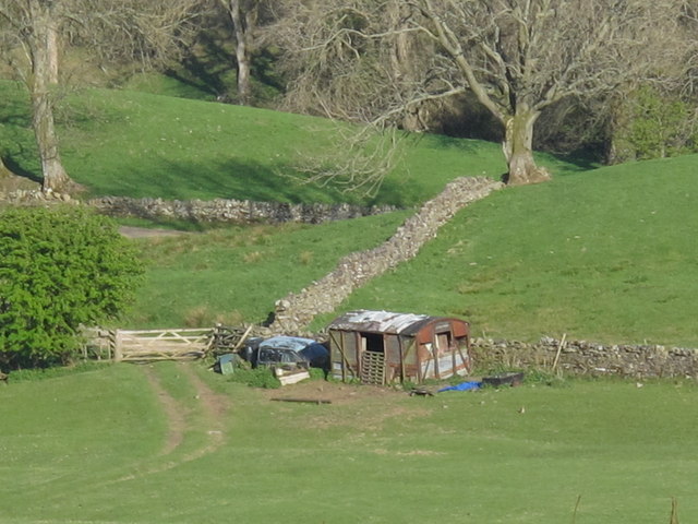
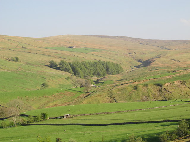
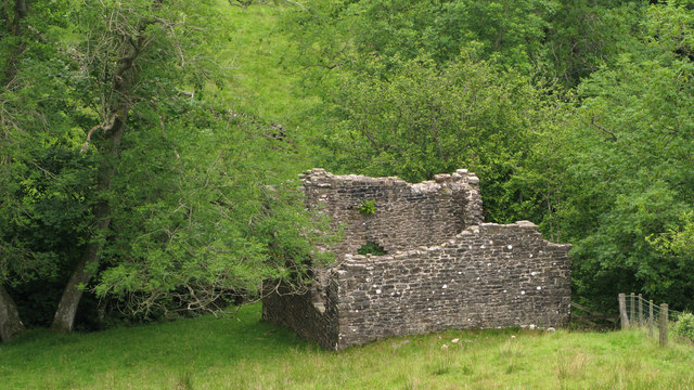
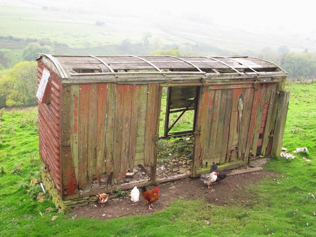
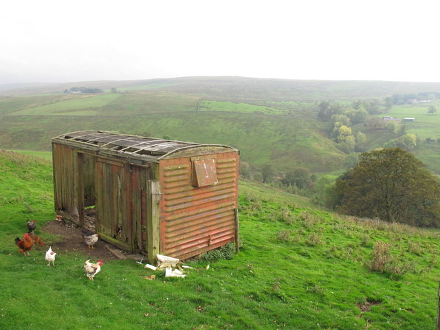
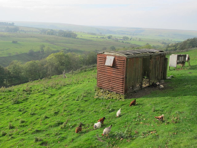
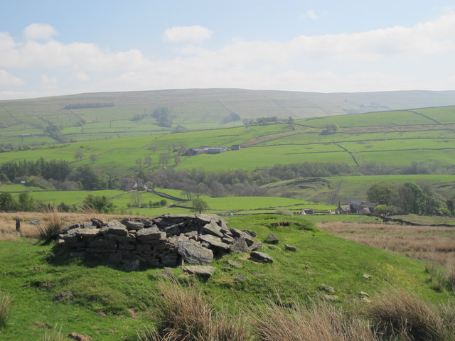
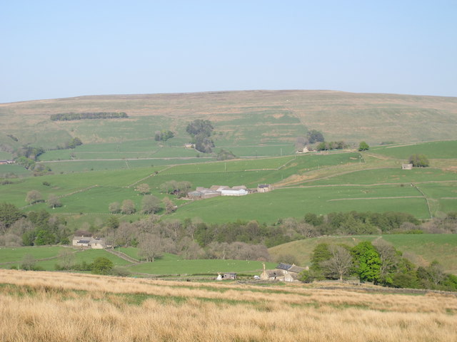
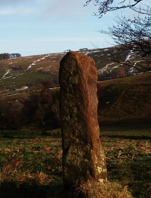
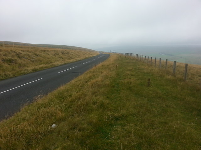
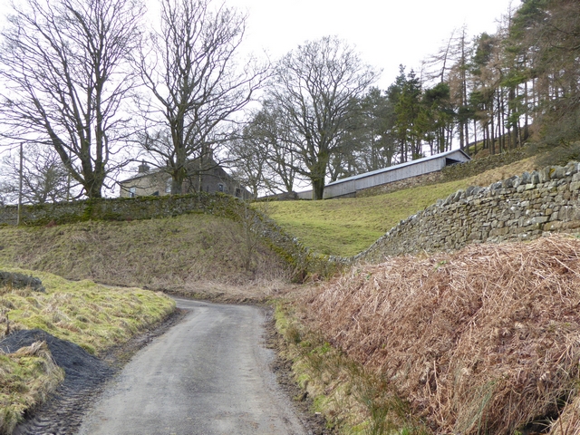
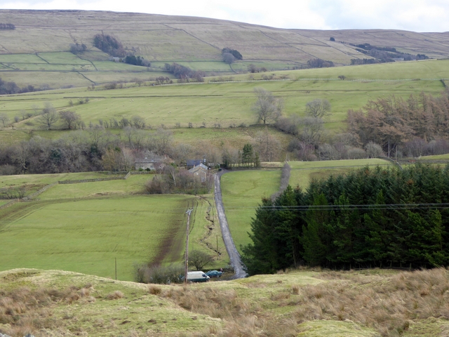
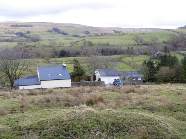
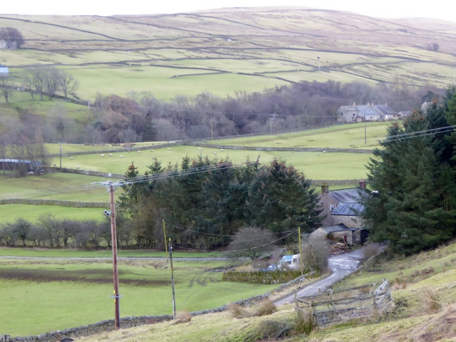
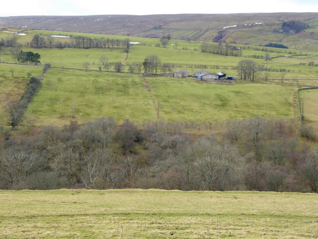
Harsley Cleugh Images

Images are sourced within 2km of 54.843699/-2.3325041 or Grid Reference NY7849. Thanks to Geograph Open Source API. All images are credited.

Old railway goods van near Mohope Head (2) See also <a href="https://www.geograph.org.uk/photo/692103">NY7750 : Old railway goods van near Mohope Head</a>.
Old railway goods van near Mohope Head (2)
The upper Mohope valley Shows the location of <a href="https://www.geograph.org.uk/photo/2384495">NY7750 : Old railway goods van near Mohope Head (2)</a>. In the middle distance (centre) is <a href="https://www.geograph.org.uk/photo/136467">NY7749 : Appletree Shield</a> and on the far side of the valley above the woodland is <a href="https://www.geograph.org.uk/photo/135202">NY7848 : New House</a> (both photographed by Andrew Smith).
The upper Mohope valley
Shows the location of NY7750 : Old railway goods van near Mohope Head (2). In the middle distance (centre) is NY7749 : Appletree Shield and on the far side of the valley above the woodland is NY7848 : New House (both photographed by Andrew Smith).
Ruined building at confluence of Mohope and Wellhope Burns The Mohope Burn is below to the left, the Wellhope to the right. The ruin is in the angle of the confluence; its purpose unknown.
Ruined building at confluence of Mohope and Wellhope Burns
The Mohope Burn is below to the left, the Wellhope to the right. The ruin is in the angle of the confluence; its purpose unknown.
Old railway goods van near Limestone Brae The location of this old railway goods van is shown in <a href="https://www.geograph.org.uk/photo/2632397">NY7950 : West Allen Dale around Limestone Brae</a> and <a href="https://www.geograph.org.uk/photo/2632414">NY7950 : West Allen Dale north of Limestone Brae</a>.
Old railway goods van near Limestone Brae
The location of this old railway goods van is shown in NY7950 : West Allen Dale around Limestone Brae and NY7950 : West Allen Dale north of Limestone Brae.
West Allen Dale around Limestone Brae Shows the location of <a href="https://www.geograph.org.uk/photo/2632388">NY7950 : Old railway goods van near Limestone Brae</a>.
West Allen Dale around Limestone Brae
West Allen Dale north of Limestone Brae Shows the location of <a href="https://www.geograph.org.uk/photo/2632388">NY7950 : Old railway goods van near Limestone Brae</a>.
West Allen Dale north of Limestone Brae
Mohope Head Shows the location of <a href="https://www.geograph.org.uk/photo/2384495">NY7750 : Old railway goods van near Mohope Head (2)</a> (just right of centre, at the far end of the field beyond the line of trees).
Mohope Head
Shows the location of NY7750 : Old railway goods van near Mohope Head (2) (just right of centre, at the far end of the field beyond the line of trees).
Old mine shaft above Mohope Head Looking across the Mohope valley towards <a href="https://www.geograph.org.uk/photo/413226">NY7750 : Hesleywell Farm</a>.
Old mine shaft above Mohope Head
Looking across the Mohope valley towards NY7750 : Hesleywell Farm.
Mohope Head (2) Looking across the valley towards <a href="https://www.geograph.org.uk/photo/413226">NY7750 : Hesleywell Farm</a>.
Mohope Head (2)
Looking across the valley towards NY7750 : Hesleywell Farm.
Mere stone in Mohope For walkers on Isaac's Tea Trail the lone mere stone is a poignant reminder of the time when land at Mohope was held under common ownership until around the late 1700s. It would also have acted as a marker for the established path for livestock to be driven. It also served to differentiate land use between summer hay crops and winter pasture.
Mere stone in Mohope
For walkers on Isaac's Tea Trail the lone mere stone is a poignant reminder of the time when land at Mohope was held under common ownership until around the late 1700s. It would also have acted as a marker for the established path for livestock to be driven. It also served to differentiate land use between summer hay crops and winter pasture.
Old tailings from the Keirsleywell Lead Mine This view is from Isaac's Tea Trail near the Blind Burn at Mohope. Isaac Holden was a lead miner at the Keirsleywell Lead Mine until around 1832. Cattle graze the land, as they did long before and after the years of lead mining.
Old tailings from the Keirsleywell Lead Mine
This view is from Isaac's Tea Trail near the Blind Burn at Mohope. Isaac Holden was a lead miner at the Keirsleywell Lead Mine until around 1832. Cattle graze the land, as they did long before and after the years of lead mining.
Muddy Mohope A wet summer has presented opportunities for bovine mud bathing on Isaac's Tea Trail at Mohope and muddy boots for walkers.
Muddy Mohope
A wet summer has presented opportunities for bovine mud bathing on Isaac's Tea Trail at Mohope and muddy boots for walkers.
Descending Acton Moor
Fairplay Farm At the head of a steep cul-de-ac lane, overlooking the Mo Hope valley.
Fairplay Farm
At the head of a steep cul-de-ac lane, overlooking the Mo Hope valley.
The Mo Hope valley A tributary of the River West Allen.
The Mo Hope valley
A tributary of the River West Allen.
Houses above the Mo Hope valley
The Mo Hope valley A tributary of the River West Allen.
The Mo Hope valley
A tributary of the River West Allen.
View across West Allendale Compare with <a href="https://www.geograph.org.uk/photo/2091247">NY7850 : View across West Allendale</a> taken from an almost identical viewpoint. Dale House Farm in the middle distance with Ouston Fell on the horizon.
View across West Allendale
Compare with NY7850 : View across West Allendale taken from an almost identical viewpoint. Dale House Farm in the middle distance with Ouston Fell on the horizon.
Show me another place!

Harsley Cleugh is located at Grid Ref: NY7849 (Lat: 54.843699, Lng: -2.3325041)

Unitary Authority: Northumberland

Police Authority: Northumbria

What 3 Words

///lofts.float.iterative. Near Alston, Cumbria

Nearby Locations

West Allen Harsley Cleugh

Related Wikis

Throssel Hole Buddhist Abbey

Throssel Hole Buddhist Abbey is a Buddhist monastery and retreat centre located in Northumberland, in northern England. The monastic order is equally for...

Carr Shield

Carrshield is a village in Northumberland, in England. It is situated in the Pennines approximately between Penrith and Hexham. It is a small village with...

Ouston, Ninebanks

Ouston is a small settlement in south west Northumberland, England in the North Pennines Area of Outstanding Natural Beauty 8 miles (13 km) north-east...

Allendale Moors

Allendale Moors is a Site of Special Scientific Interest (SSSI) in Northumberland, England. The upland moorland ridge site is listed for its heath, flush...

Nearby Amenities

Located within 500m of 54.843699,-2.3325041
The Nook
Place: locality
Lat/Long: 54.8427748/-2.3365895
The data included in this document is from www.openstreetmap.org. The data is made available under ODbL.

Have you been to Harsley Cleugh?

Leave your review of Harsley Cleugh below (or comments, questions and feedback).