Milescot Cleugh

Valley in Northumberland

England

Milescot Cleugh

Marginal farmland above eastern side of West Allendale The nearer enclosures are at best rough grazing and hardly better suited to use than moorland; it isn't classified as open access land. 
The same applies to much of the land in the middle distance.
The most distant hill dome is The Dodd rising to 614 metres - just over 2000 feet.
Marginal farmland above eastern side of West Allendale Credit: Trevor Littlewood

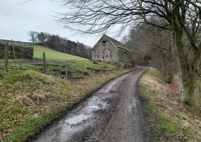
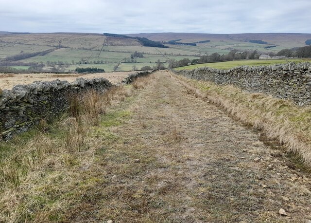
Milescot Cleugh is a picturesque valley located in the county of Northumberland, England. Nestled within the stunning North Pennines Area of Outstanding Natural Beauty, it offers visitors a true taste of rural tranquility.

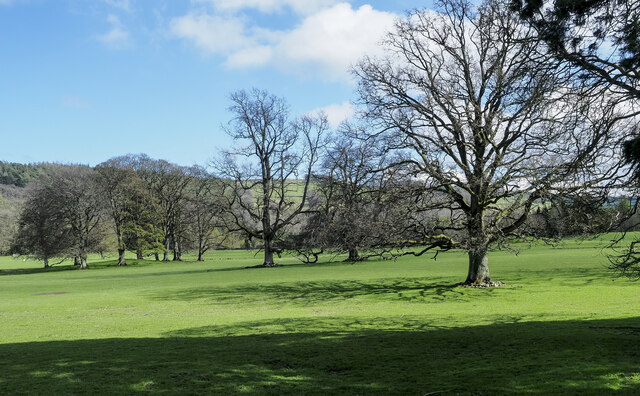
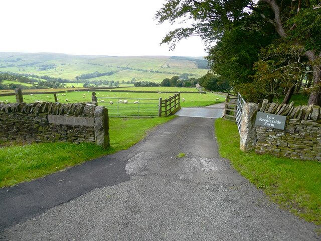
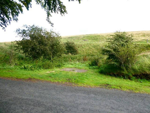
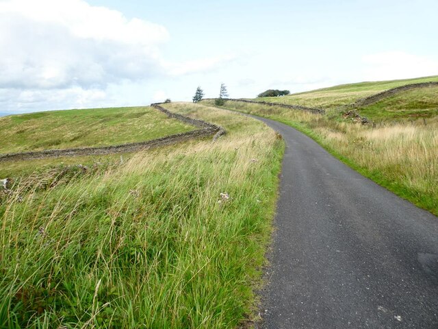
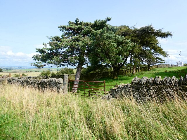
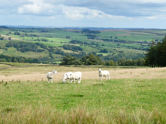
The valley is characterized by its rolling hills, lush meadows, and enchanting woodlands. It is situated near the small village of Allendale and is surrounded by a patchwork of fields and farms, adding to its idyllic charm. The area is rich in biodiversity, home to a variety of plant and animal species, making it a haven for nature lovers and wildlife enthusiasts.

Milescot Cleugh is also known for its historical significance. The valley boasts several ancient sites, including prehistoric burial mounds and stone circles, which provide insight into the region's rich heritage. Additionally, remnants of Roman settlements can be found in the vicinity, further adding to its historical allure.

Visitors to Milescot Cleugh can enjoy a range of outdoor activities. The valley offers numerous walking and hiking trails, allowing visitors to explore its natural beauty at their own pace. The nearby River East Allen provides opportunities for fishing and offers a peaceful spot for picnics or simply relaxing by the water's edge.

For those seeking a peaceful retreat in the heart of the Northumberland countryside, Milescot Cleugh is a hidden gem. Its scenic beauty, historical significance, and abundance of outdoor activities make it a must-visit destination for nature enthusiasts and history buffs alike.

If you have any feedback on the listing, please let us know in the comments section below.

Milescot Cleugh Images

Images are sourced within 2km of 54.885126/-2.3326584 or Grid Reference NY7854. Thanks to Geograph Open Source API. All images are credited.

Marginal farmland above eastern side of West Allendale The nearer enclosures are at best rough grazing and hardly better suited to use than moorland; it isn't classified as open access land. 
The same applies to much of the land in the middle distance.
The most distant hill dome is The Dodd rising to 614 metres - just over 2000 feet.
Marginal farmland above eastern side of West Allendale
The nearer enclosures are at best rough grazing and hardly better suited to use than moorland; it isn't classified as open access land. The same applies to much of the land in the middle distance. The most distant hill dome is The Dodd rising to 614 metres - just over 2000 feet.
Trees on moorland north of wall The trees are on grassy moorland north of a wall crossing close to the trig point known to the OS as Ripley Carrs.
Trees on moorland north of wall
The trees are on grassy moorland north of a wall crossing close to the trig point known to the OS as Ripley Carrs.
Outbuilding at Monk An outbuilding at Monk Farm.
Outbuilding at Monk
An outbuilding at Monk Farm.
Track near Gate House Track near Gate House.
Track near Gate House
Track near Gate House.
Keenley Fell West Farm Keenley Fell West Farm.
Keenley Fell West Farm
Keenley Fell West Farm.
Scattered trees in parkland These trees are in the valley of the River West Allen just north of Carr's Burn and are on the parkland at Whitfield Hall.
Curiously many of the trees, perhaps all of them, have a 'skirt' of stones around the bases of their trunks, surely placed there purposely. It's well seen in the nearest specimen and must be to afford some kind of protection.
Scattered trees in parkland
These trees are in the valley of the River West Allen just north of Carr's Burn and are on the parkland at Whitfield Hall. Curiously many of the trees, perhaps all of them, have a 'skirt' of stones around the bases of their trunks, surely placed there purposely. It's well seen in the nearest specimen and must be to afford some kind of protection.
Driveway to Keenleyside Hill Farm and Low Keenleyside Farm A steep drop down the hillside into West Allendale.
Driveway to Keenleyside Hill Farm and Low Keenleyside Farm
A steep drop down the hillside into West Allendale.
Hollow in hillside Obviously man-made, the hillside opposite the driveway to Low Keenleyside Farm has been excavated to make a small amphitheatre of unknown purpose. A small area of  hardstanding stands at the entrance.
Hollow in hillside
Obviously man-made, the hillside opposite the driveway to Low Keenleyside Farm has been excavated to make a small amphitheatre of unknown purpose. A small area of hardstanding stands at the entrance.
Footpath to Gate House The width suggests that this was very likely formerly a road.
Footpath to Gate House
The width suggests that this was very likely formerly a road.
Bridleway near Mount Pleasant Leading past some old workings.
Bridleway near Mount Pleasant
Leading past some old workings.
Road above West Allendale The wide gap between bounding walls suggest that this might have been a former drove road.
Road above West Allendale
The wide gap between bounding walls suggest that this might have been a former drove road.
Windswept trees by Keenleyfell West Farm Scots Pine and Larch.
Windswept trees by Keenleyfell West Farm
Scots Pine and Larch.
Keenleyfell West Farm In a  commanding and exposed hilltop position.
Keenleyfell West Farm
In a commanding and exposed hilltop position.
Looking across Allendale Sheep in the foreground.
Looking across Allendale
Sheep in the foreground.
Minor road above Allendale Two chimneys <a href="https://www.geograph.org.uk/gridref/NY8053">NY8053</a> associated with lead smelting can be seen on the skyline.
Minor road above Allendale
Two chimneys NY8053 associated with lead smelting can be seen on the skyline.
Keenley Lime Kiln
Keenley Lime Kiln
Quarry House Associated with a neighbouring former quarry.
Quarry House
Associated with a neighbouring former quarry.
Stream bed in old quarry workings By Keenley Thorn.
Stream bed in old quarry workings
By Keenley Thorn.
Show me another place!

Milescot Cleugh is located at Grid Ref: NY7854 (Lat: 54.885126, Lng: -2.3326584)

Unitary Authority: Northumberland

Police Authority: Northumbria

What 3 Words

///estimates.genius.triathlon. Near Bardon Mill, Northumberland

Related Wikis

Ninebanks

Ninebanks is a small village in south west Northumberland, England in the North Pennines Area of Outstanding Natural Beauty 8 miles (13 km) north-east...

Ouston, Ninebanks

Ouston is a small settlement in south west Northumberland, England in the North Pennines Area of Outstanding Natural Beauty 8 miles (13 km) north-east...

Bearsbridge

Bearsbridge is a village in Northumberland, in England. It is situated to the west of Hexham, on the A686. == Governance == Bearsbridge is in the parliamentary...

Whitfield, Northumberland

Whitfield is a village and former civil parish, now in the parish of Plenmeller with Whitfield, in the county of Northumberland, England about 10 miles...

Allen Confluence Gravels

The Allen Confluence Gravels is the name given to a Site of Special Scientific Interest (SSSI) in Northumberland, England. The site, listed since 1968...

Catton, Northumberland

Catton is a village in Northumberland, England. It is about 7 miles (11 km) to the southwest of Hexham and is located on the outskirts of Allendale �...

Throssel Hole Buddhist Abbey

Throssel Hole Buddhist Abbey is a Buddhist monastery and retreat centre located in Northumberland, in northern England. The monastic order is equally for...

Allendale, Northumberland

Allendale, often marked on maps as Allendale Town, is a village and civil parish in south west Northumberland, England. It is located within the North...

Nearby Amenities

Located within 500m of 54.885126,-2.3326584
Carrs Hill
Place: locality
Lat/Long: 54.8824939/-2.3272992
The data included in this document is from www.openstreetmap.org. The data is made available under ODbL.

Have you been to Milescot Cleugh?

Leave your review of Milescot Cleugh below (or comments, questions and feedback).