West Allendale

Valley in Northumberland

England

West Allendale

Track near Gate House Track near Gate House.
Track near Gate House Credit: Colin Kinnear

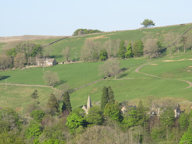
West Allendale is a small village located in the county of Northumberland in the northeast of England. It is situated in the picturesque Allendale Valley, surrounded by rolling hills and stunning countryside. The village is part of the civil parish of Allendale and lies approximately 10 miles southwest of Hexham, the nearest market town.

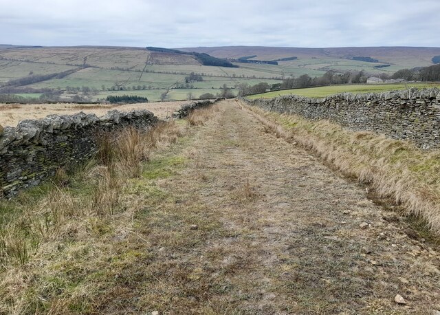
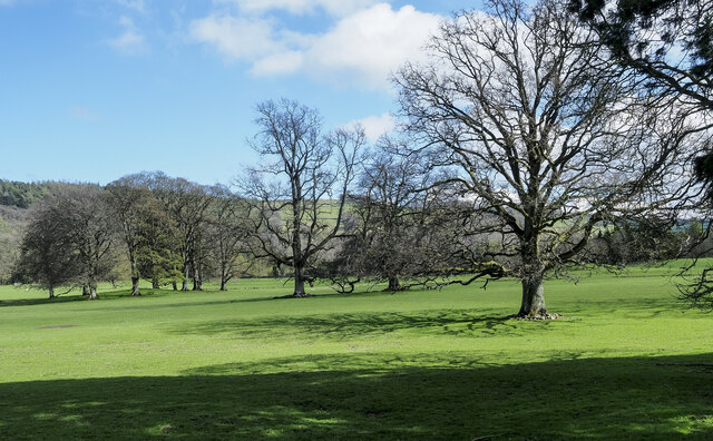
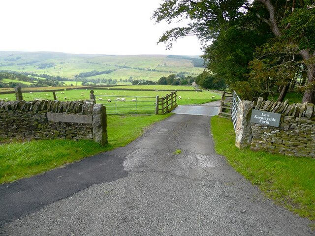
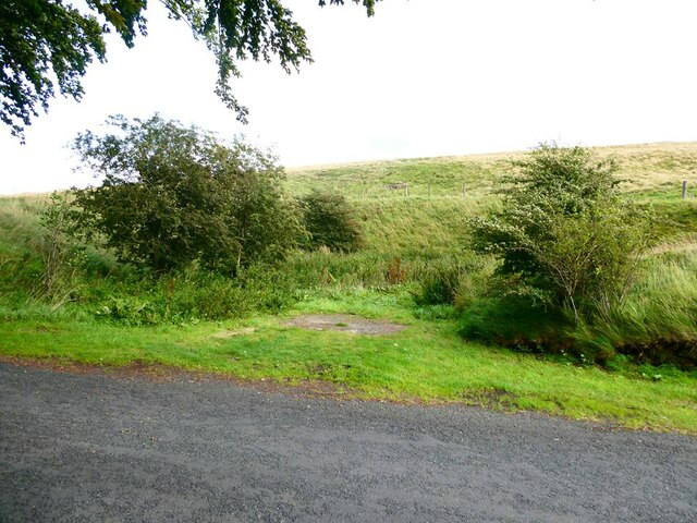
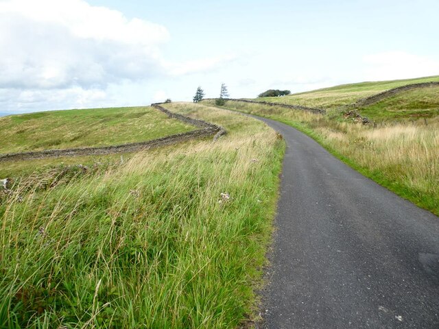
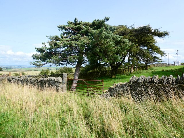
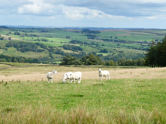
West Allendale is known for its tranquil and rural setting, making it a popular destination for nature lovers and those seeking a peaceful retreat. The area is characterized by its lush green fields, meandering rivers, and dense forests, providing ample opportunities for outdoor activities such as hiking, fishing, and birdwatching.

The village itself is made up of a collection of charming stone cottages and farmhouses, giving it a quintessential English countryside feel. It has a close-knit community, with a population of around 300 residents, who enjoy a range of local amenities including a village hall, a primary school, and a pub.

Historically, West Allendale was a mining community, with lead and silver mines operating in the area from the 18th century until their closure in the 19th century. Today, remnants of this industrial heritage can still be seen in the form of old mine buildings and shafts dotted throughout the landscape.

Overall, West Allendale offers a tranquil and idyllic setting for those looking to escape the hustle and bustle of city life and immerse themselves in the beauty of the Northumberland countryside.

If you have any feedback on the listing, please let us know in the comments section below.

West Allendale Images

Images are sourced within 2km of 54.883968/-2.33215 or Grid Reference NY7854. Thanks to Geograph Open Source API. All images are credited.

Track near Gate House Track near Gate House.
Track near Gate House
Track near Gate House.
Keenley Fell West Farm Keenley Fell West Farm.
Keenley Fell West Farm
Keenley Fell West Farm.
Scattered trees in parkland These trees are in the valley of the River West Allen just north of Carr's Burn and are on the parkland at Whitfield Hall.
Curiously many of the trees, perhaps all of them, have a 'skirt' of stones around the bases of their trunks, surely placed there purposely. It's well seen in the nearest specimen and must be to afford some kind of protection.
Scattered trees in parkland
These trees are in the valley of the River West Allen just north of Carr's Burn and are on the parkland at Whitfield Hall. Curiously many of the trees, perhaps all of them, have a 'skirt' of stones around the bases of their trunks, surely placed there purposely. It's well seen in the nearest specimen and must be to afford some kind of protection.
Driveway to Keenleyside Hill Farm and Low Keenleyside Farm A steep drop down the hillside into West Allendale.
Driveway to Keenleyside Hill Farm and Low Keenleyside Farm
A steep drop down the hillside into West Allendale.
Hollow in hillside Obviously man-made, the hillside opposite the driveway to Low Keenleyside Farm has been excavated to make a small amphitheatre of unknown purpose. A small area of  hardstanding stands at the entrance.
Hollow in hillside
Obviously man-made, the hillside opposite the driveway to Low Keenleyside Farm has been excavated to make a small amphitheatre of unknown purpose. A small area of hardstanding stands at the entrance.
Footpath to Gate House The width suggests that this was very likely formerly a road.
Footpath to Gate House
The width suggests that this was very likely formerly a road.
Bridleway near Mount Pleasant Leading past some old workings.
Bridleway near Mount Pleasant
Leading past some old workings.
Road above West Allendale The wide gap between bounding walls suggest that this might have been a former drove road.
Road above West Allendale
The wide gap between bounding walls suggest that this might have been a former drove road.
Windswept trees by Keenleyfell West Farm Scots Pine and Larch.
Windswept trees by Keenleyfell West Farm
Scots Pine and Larch.
Keenleyfell West Farm In a  commanding and exposed hilltop position.
Keenleyfell West Farm
In a commanding and exposed hilltop position.
Looking across Allendale Sheep in the foreground.
Looking across Allendale
Sheep in the foreground.
Minor road above Allendale Two chimneys <a href="https://www.geograph.org.uk/gridref/NY8053">NY8053</a> associated with lead smelting can be seen on the skyline.
Minor road above Allendale
Two chimneys NY8053 associated with lead smelting can be seen on the skyline.
Keenley Lime Kiln
Keenley Lime Kiln
Keenley Lime Kilns
Keenley Lime Kilns
Ladder stile and signpost The start of a somewhat overgrown footpath to Keenleyfell West.
Ladder stile and signpost
The start of a somewhat overgrown footpath to Keenleyfell West.
The valley of the River West Allen south of Ninebanks The church spire is that of <a href="https://www.geograph.org.uk/photo/413145">NY7852 : St. Mark's Church, south of Ninebanks</a>. Photo taken from the minor road to Mohope Head in <a href="https://www.geograph.org.uk/gridref/NY7751">NY7751</a>.
The valley of the River West Allen south of Ninebanks
The church spire is that of NY7852 : St. Mark's Church, south of Ninebanks. Photo taken from the minor road to Mohope Head in NY7751.
The road to Hollin Green Farm
A path to Burn Tongues
Show me another place!

West Allendale is located at Grid Ref: NY7854 (Lat: 54.883968, Lng: -2.33215)

Unitary Authority: Northumberland

Police Authority: Northumbria

What 3 Words

///fuses.passwords.connector. Near Bardon Mill, Northumberland

Related Wikis

Ninebanks

Ninebanks is a small village in south west Northumberland, England in the North Pennines Area of Outstanding Natural Beauty 8 miles (13 km) north-east...

Ouston, Ninebanks

Ouston is a small settlement in south west Northumberland, England in the North Pennines Area of Outstanding Natural Beauty 8 miles (13 km) north-east...

Bearsbridge

Bearsbridge is a village in Northumberland, in England. It is situated to the west of Hexham, on the A686. == Governance == Bearsbridge is in the parliamentary...

Whitfield, Northumberland

Whitfield is a village and former civil parish, now in the parish of Plenmeller with Whitfield, in the county of Northumberland, England about 10 miles...

Nearby Amenities

Located within 500m of 54.883968,-2.33215
Carrs Hill
Place: locality
Lat/Long: 54.8824939/-2.3272992
The data included in this document is from www.openstreetmap.org. The data is made available under ODbL.

Have you been to West Allendale?

Leave your review of West Allendale below (or comments, questions and feedback).