Dobson Clough
Valley in Lancashire Ribble Valley
England
Dobson Clough
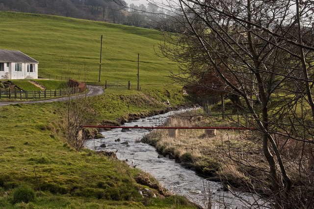
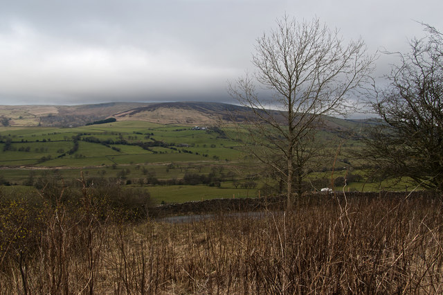
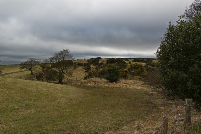
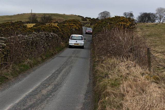
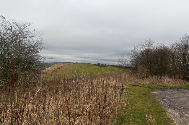
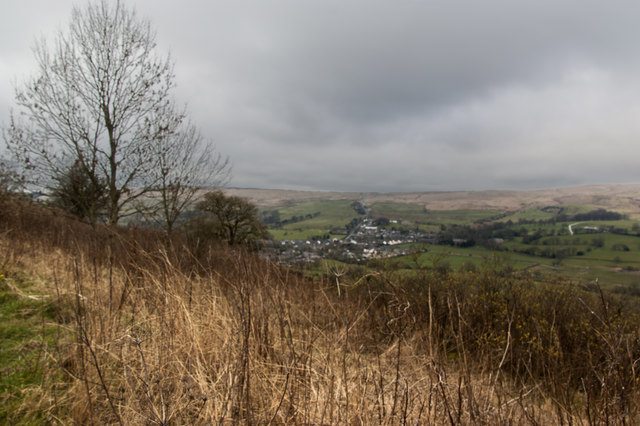
Dobson Clough is a picturesque valley located in the county of Lancashire, in the northwest region of England. Nestled amidst the rolling hills and green landscapes, the valley is known for its natural beauty and tranquil atmosphere. It is situated near the town of Ramsbottom, approximately 15 miles north of Manchester.
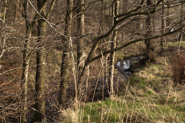
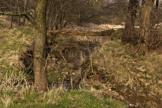
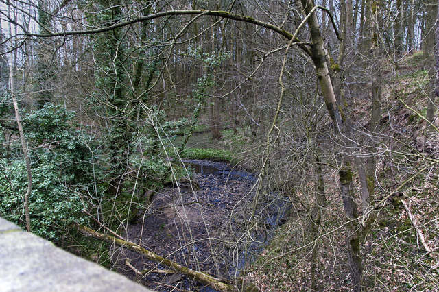
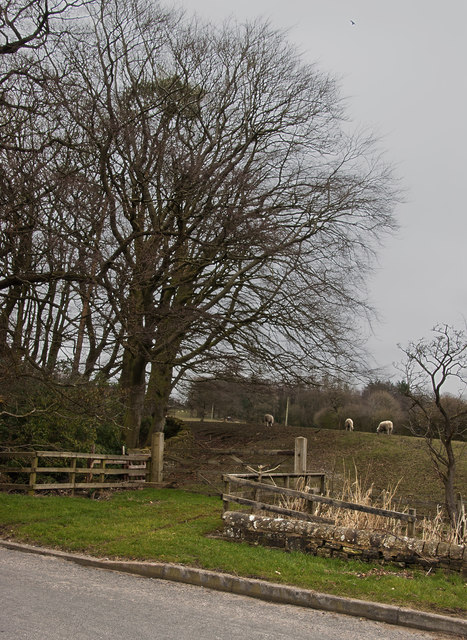
The valley is named after the Dobson Clough stream that flows through it, originating from the nearby hills. The stream is fed by several smaller tributaries, creating a network of waterways that add to the valley's charm. Lush vegetation, including dense woodland and open meadows, lines the valley, providing a diverse habitat for various plant and animal species.
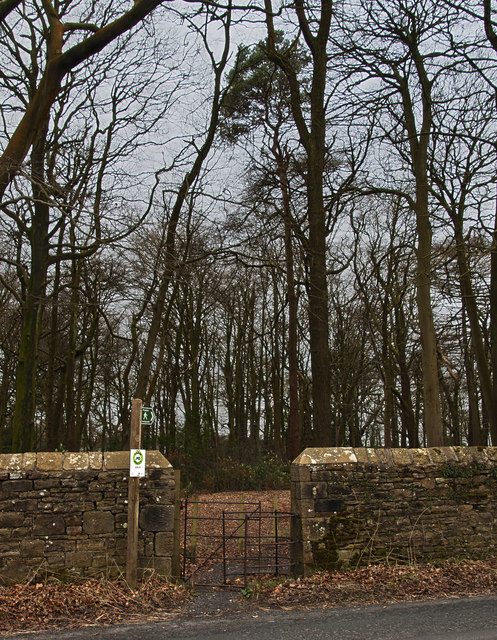
Dobson Clough is a popular destination for nature enthusiasts and hikers, offering a range of walking trails that showcase the stunning scenery. The valley provides a peaceful escape from the hustle and bustle of urban life, allowing visitors to immerse themselves in the tranquility of nature.
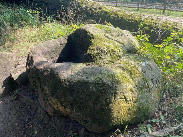
Throughout the year, the valley hosts various events and activities, attracting both locals and tourists. These include guided nature walks, wildlife spotting, and outdoor picnics. The valley also boasts a rich history, with remnants of old mills and farming structures still visible, offering glimpses into the area's past.
Overall, Dobson Clough, Lancashire, is a hidden gem that offers a serene and idyllic setting for visitors to enjoy the beauty of nature and explore the rich cultural heritage of the region.
If you have any feedback on the listing, please let us know in the comments section below.
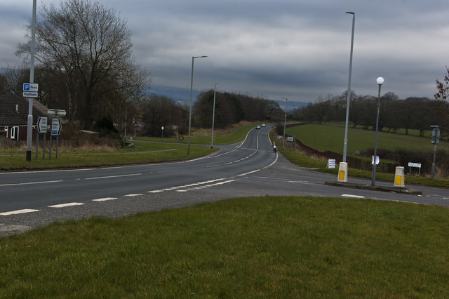
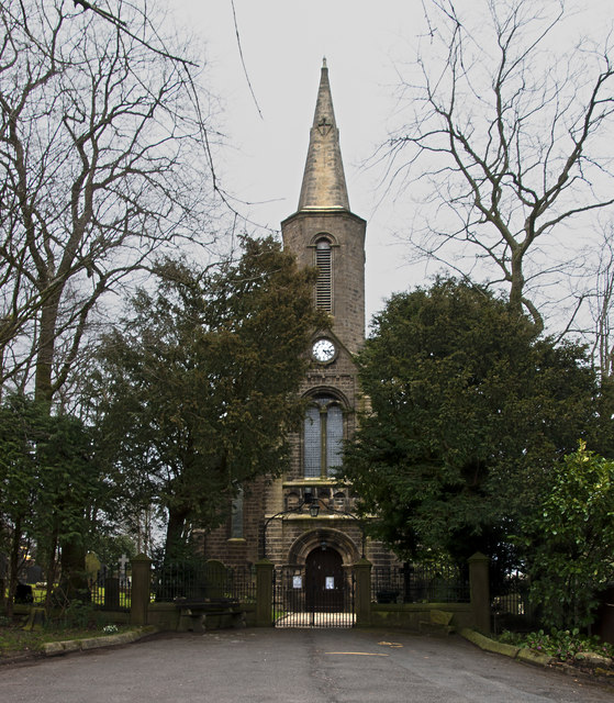
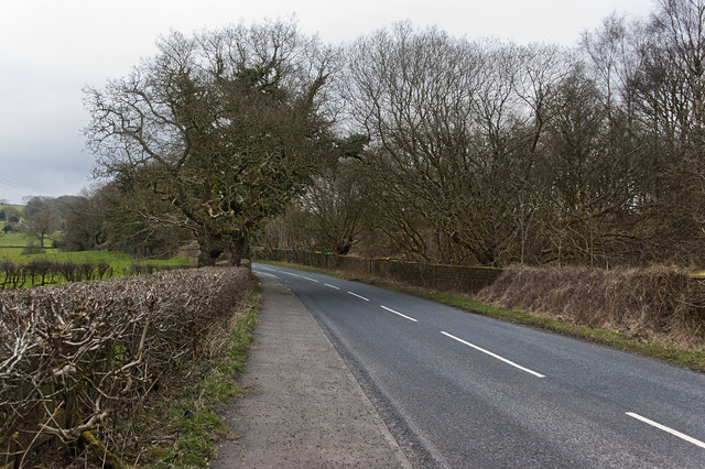
Dobson Clough Images
Images are sourced within 2km of 53.821452/-2.3250808 or Grid Reference SD7836. Thanks to Geograph Open Source API. All images are credited.


Dobson Clough is located at Grid Ref: SD7836 (Lat: 53.821452, Lng: -2.3250808)
Administrative County: Lancashire
District: Ribble Valley
Police Authority: Lancashire
What 3 Words
///prepared.kingpin.widely. Near Sabden, Lancashire
Nearby Locations
Related Wikis

Huntroyde Hall
Huntroyde Hall is a grade II listed, 16th-century house in the civil parish of Simonstone in the Borough of Ribble Valley, Lancashire, England. Its estate...

Sabden
Sabden is a village and civil parish in the Ribble Valley, Lancashire, England. Sabden is located south of Pendle Hill, in a valley about three miles north...

Higham, Lancashire
Higham is a village in the Borough of Pendle in Lancashire, England, south of Pendle Hill. The civil parish is named Higham with West Close Booth. The...

Simonstone, Lancashire
Simonstone is a small village and civil parish in the Ribble Valley district of Lancashire, England. The population of the civil parish taken at the 2011...

Padiham F.C.
Padiham Football Club are an English football team based in Padiham, Lancashire. As of 2019–20, they play in the North West Counties League Premier Division...

Gawthorpe (ward)
Gawthorpe is an electoral ward in the non-metropolitan district of Burnley in Lancashire, England. The population of the Burnley Ward at the 2011 census...

Padiham Town Hall
Padiham Town Hall is a municipal building in Burnley Road, Padiham, Lancashire, England. The town hall, which was the headquarters of Padiham Urban District...

Padiham railway station
Padiham railway station in Station Road, Padiham, Lancashire, England was on a branch line (usually known as the Great Harwood loop) of the East Lancashire...
Nearby Amenities
Located within 500m of 53.821452,-2.3250808Have you been to Dobson Clough?
Leave your review of Dobson Clough below (or comments, questions and feedback).