Black Hill

Hill, Mountain in Lancashire Ribble Valley

England

Black Hill

Old Wayside Cross off Trapp Lane Simon's Cross, the base of a wayside cross. Set beside a footpath leaving a gate on the east side of Trapp Lane on the boundary of Simonstone and Read parishes. See also  <span class="nowrap"><a title="https://thejournalofantiquities.com/2016/06/15/simons-cross-simonstone-near-padiham-lancashire/" rel="nofollow ugc noopener" href="https://thejournalofantiquities.com/2016/06/15/simons-cross-simonstone-near-padiham-lancashire/">Link</a><img style="margin-left:2px;" alt="External link" title="External link - shift click to open in new window" src="https://s1.geograph.org.uk/img/external.png" width="10" height="10"/></span> and <a title="https://www.geograph.org.uk/photo/1122007" href="https://www.geograph.org.uk/photo/1122007">Link</a>.

Milestone Society National ID: LARV_SIM
Old Wayside Cross off Trapp Lane Credit: Lee Rob

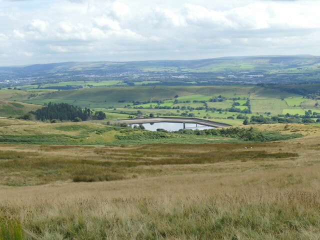
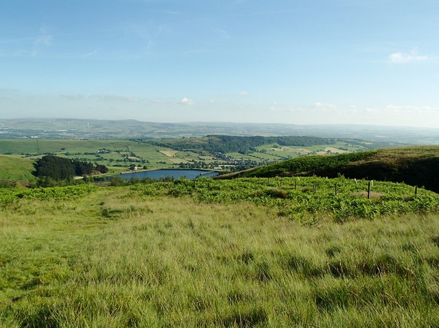
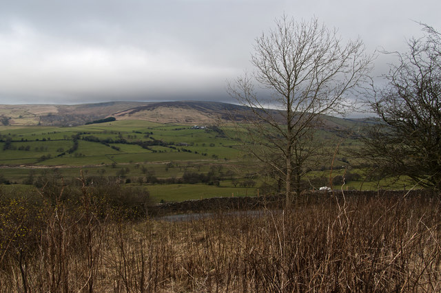
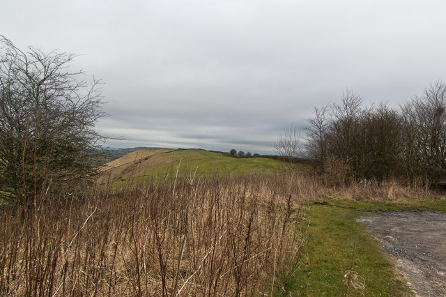
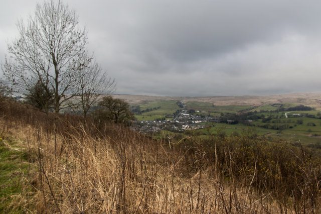
Black Hill is a prominent hill located in the county of Lancashire, England. Situated near the border with West Yorkshire, it forms part of the Pennine range, which is known for its stunning natural beauty and diverse landscapes. Rising to an elevation of 582 meters (1,909 feet), Black Hill offers breathtaking panoramic views of the surrounding countryside.

This hill is a popular destination for outdoor enthusiasts, including hikers and nature lovers, who are drawn to its rugged terrain and challenging trails. Its location within the Peak District National Park makes it an ideal spot for those seeking a peaceful and scenic escape from the hustle and bustle of city life.

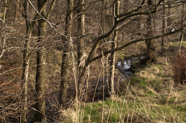
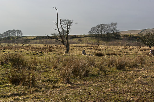
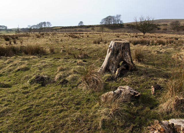
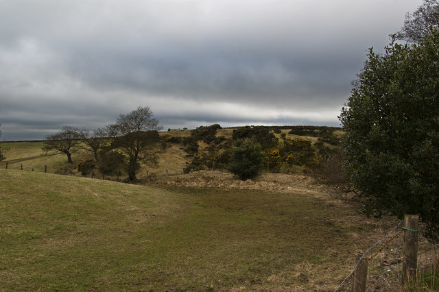
The geology of Black Hill is characterized by gritstone and peat, which contribute to its distinctive dark appearance. As the name suggests, the hill is predominantly covered in heather and grasses, creating a picturesque landscape that changes with the seasons. In spring, the hillside comes alive with vibrant wildflowers, while autumn brings a stunning display of golden hues.

Black Hill is also home to a variety of wildlife, including birds such as curlews and golden plovers, as well as small mammals like rabbits and hares. The area is protected as a Site of Special Scientific Interest (SSSI) due to its unique flora and fauna.

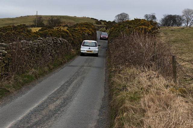
Access to Black Hill is facilitated by several footpaths and trails that wind their way through the surrounding moorland. Visitors can choose from a range of routes, catering to different abilities and preferences. Regardless of the chosen path, a journey to the summit of Black Hill promises a rewarding experience, with breathtaking views that make it a true gem in the Lancashire countryside.

If you have any feedback on the listing, please let us know in the comments section below.
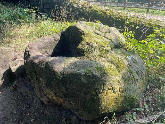
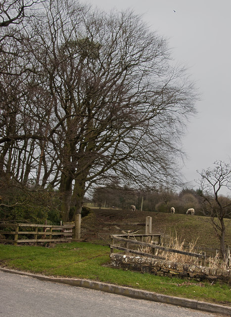
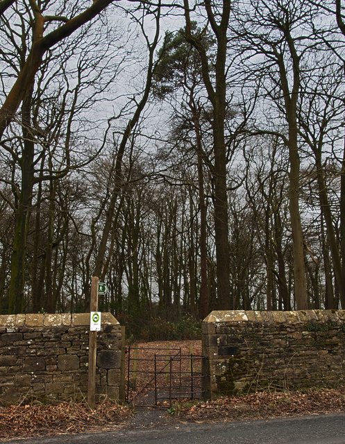
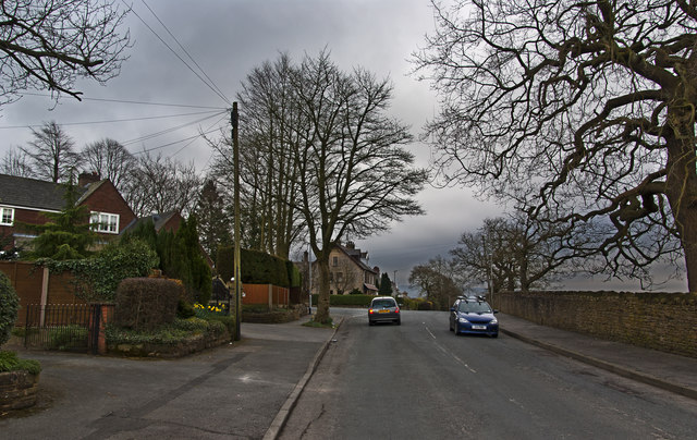
Black Hill Images

Images are sourced within 2km of 53.825791/-2.3326951 or Grid Reference SD7836. Thanks to Geograph Open Source API. All images are credited.

Old Wayside Cross off Trapp Lane Simon's Cross, the base of a wayside cross. Set beside a footpath leaving a gate on the east side of Trapp Lane on the boundary of Simonstone and Read parishes. See also  <span class="nowrap"><a title="https://thejournalofantiquities.com/2016/06/15/simons-cross-simonstone-near-padiham-lancashire/" rel="nofollow ugc noopener" href="https://thejournalofantiquities.com/2016/06/15/simons-cross-simonstone-near-padiham-lancashire/">Link</a><img style="margin-left:2px;" alt="External link" title="External link - shift click to open in new window" src="https://s1.geograph.org.uk/img/external.png" width="10" height="10"/></span> and <a title="https://www.geograph.org.uk/photo/1122007" href="https://www.geograph.org.uk/photo/1122007">Link</a>.

Milestone Society National ID: LARV_SIM
Old Wayside Cross off Trapp Lane
Simon's Cross, the base of a wayside cross. Set beside a footpath leaving a gate on the east side of Trapp Lane on the boundary of Simonstone and Read parishes. See also LinkExternal link and Link. Milestone Society National ID: LARV_SIM
Church Clough Reservoir from Apronfull Hill Reservoir levels were low in a very dry summer.
Church Clough Reservoir from Apronfull Hill
Reservoir levels were low in a very dry summer.
Churn Clough Reservoir Viewed from the public footpath uphill to Deerstones.
Churn Clough Reservoir
Viewed from the public footpath uphill to Deerstones.
Whins Brook
Whins Brook
A tree and a couple of stumps on the moor
Sabden Brook downstream
Whins Brook
Whins Brook
The stump is too high to make a comfortable seat How inconsiderate!
The stump is too high to make a comfortable seat
How inconsiderate!
A gate and walled off coppice opposite Law Farm
Footpath to Law Farm
Approaching the road junction at Old Moss
From the viewpoint at Black Hill
The moorland at The Height
A tight fit
A tight fit
The Parish Church of St Nicholas
Sabden Road
Sabden Road
Padiham Heights - from the viewpoint at Black Hill
From the viewpoint at Black Hill overlooking Sabden
Show me another place!

Black Hill is located at Grid Ref: SD7836 (Lat: 53.825791, Lng: -2.3326951)

Administrative County: Lancashire

District: Ribble Valley

Police Authority: Lancashire

What 3 Words

///runner.treatable.oath. Near Sabden, Lancashire

Related Wikis

Sabden

Sabden is a village and civil parish in the Ribble Valley, Lancashire, England. Sabden is located south of Pendle Hill, in a valley about three miles north...

Huntroyde Hall

Huntroyde Hall is a grade II listed, 16th-century house in the civil parish of Simonstone in the Borough of Ribble Valley, Lancashire, England. Its estate...

Simonstone, Lancashire

Simonstone is a small village and civil parish in the Ribble Valley district of Lancashire, England. The population of the civil parish taken at the 2011...

Higham, Lancashire

Higham is a village in the Borough of Pendle in Lancashire, England, south of Pendle Hill. The civil parish is named Higham with West Close Booth. The...

Padiham F.C.

Padiham Football Club are an English football team based in Padiham, Lancashire. As of 2019–20, they play in the North West Counties League Premier Division...

Read, Lancashire

Read is a village in Lancashire 5 miles west northwest of Burnley and 2 miles east of Whalley. It is on the A671 which is the main road between Burnley...

Gawthorpe (ward)

Gawthorpe is an electoral ward in the non-metropolitan district of Burnley in Lancashire, England. The population of the Burnley Ward at the 2011 census...

Read Hall and Park

Read Hall and Park is a manor house with ornamental grounds of about 450 acres (180 ha) in Whalley Road, Read, a few miles west of Padiham, Lancashire...
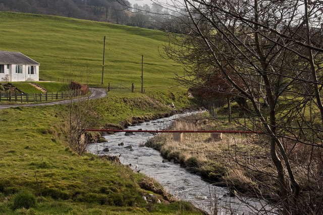
Nearby Amenities

Located within 500m of 53.825791,-2.3326951
Tourism: viewpoint
Lat/Long: 53.8268076/-2.3263373
Entrance: yes
Maxheight: 1.9
Lat/Long: 53.8265597/-2.3254938
Black Hill Wood
Natural: wood
Lat/Long: 53.8253562/-2.3367622
Bus Stop
Thorn Street
Naptan AtcoCode: 2500492
Naptan NaptanCode: lanawjwa
Public Transport: platform
Lat/Long: 53.8301095/-2.3335965
Bus Stop
Thorn Street
Naptan AtcoCode: 2500IMG2530
Naptan NaptanCode: langdjag
Public Transport: platform
Lat/Long: 53.8301597/-2.3334704
Generator Method: photovoltaic
Generator Output Electricity: yes
Generator Source: solar
Generator Type: solar_photovoltaic_panel
Location: roof
Power: generator
Lat/Long: 53.8296374/-2.3335678
The data included in this document is from www.openstreetmap.org. The data is made available under ODbL.

Have you been to Black Hill?

Leave your review of Black Hill below (or comments, questions and feedback).