Black Hill Plantation
Wood, Forest in Lancashire Ribble Valley
England
Black Hill Plantation
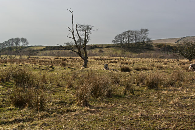
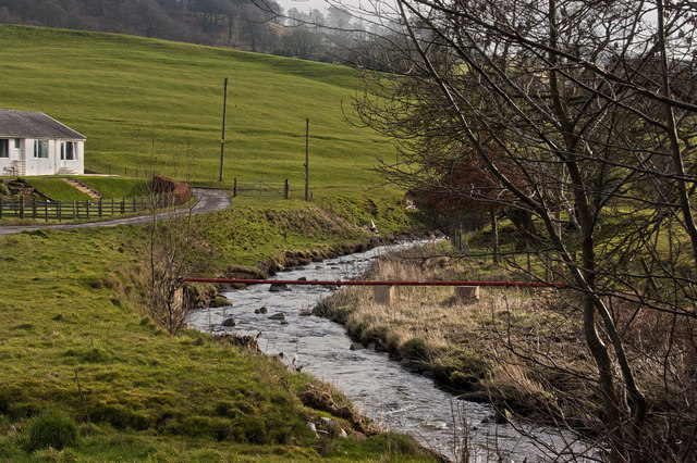
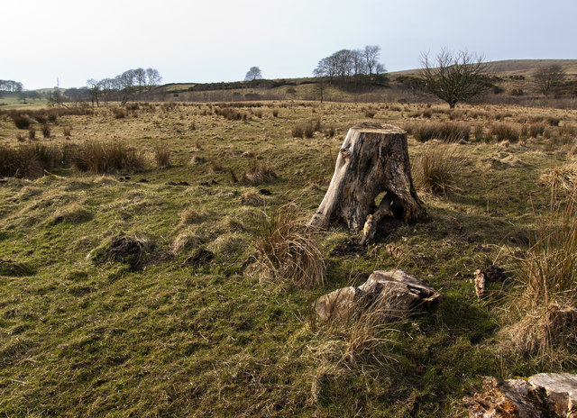
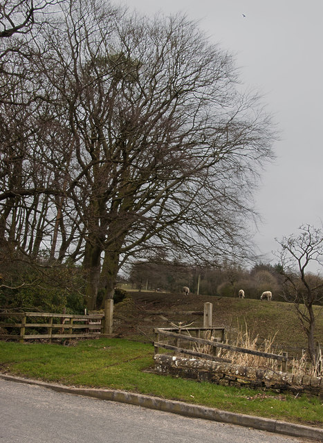
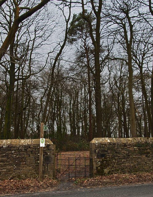
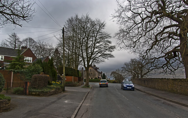
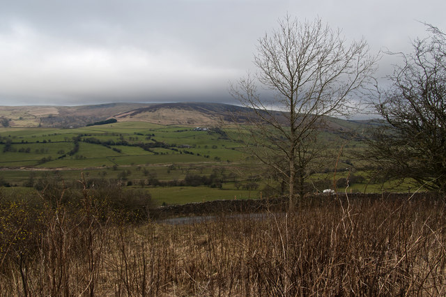
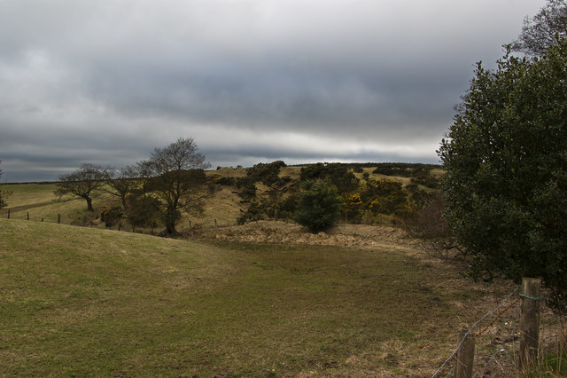
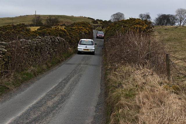
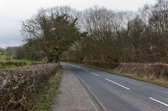
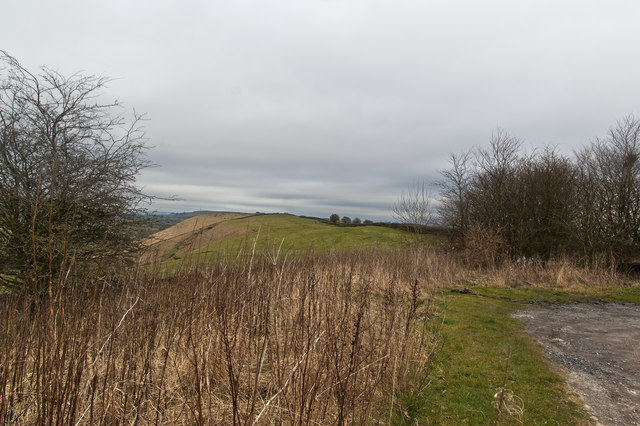
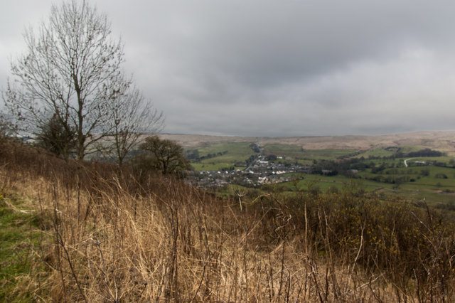
Black Hill Plantation is a picturesque woodland area located in the county of Lancashire, England. The plantation covers a vast expanse of land, encompassing dense forests and sprawling woodlands. It is a popular destination for nature enthusiasts and outdoor adventurers, offering a serene and tranquil environment.
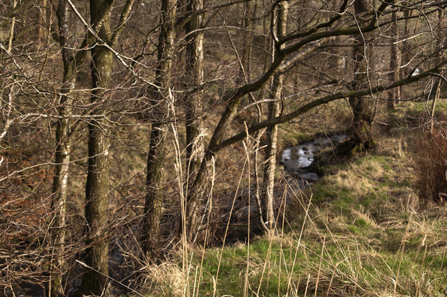
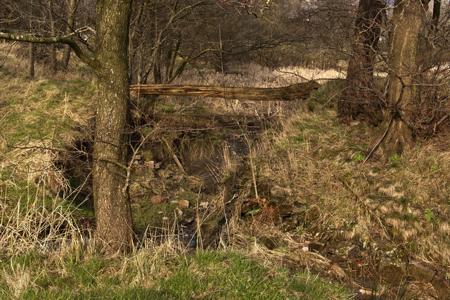
The plantation is characterized by its diverse range of tree species, including oak, birch, beech, and pine. The towering trees provide ample shade, creating a cool and soothing atmosphere. The forest floor is covered in a thick carpet of moss and ferns, adding to the enchanting ambiance.
Wildlife is abundant in Black Hill Plantation, with various species calling the area their home. Visitors can spot a variety of birds, such as woodpeckers and owls, as well as small mammals like squirrels and rabbits. The plantation also boasts a rich insect population, with butterflies and dragonflies fluttering amongst the foliage.
There are several well-maintained trails that wind through the plantation, providing visitors with opportunities for leisurely walks or more challenging hikes. These paths offer stunning views of the surrounding countryside and provide a chance to immerse oneself in the beauty of nature.
Black Hill Plantation is open to the public year-round, and admission is free. It is a popular destination for families, who can enjoy picnics in designated areas or participate in activities like birdwatching and nature photography. The plantation also hosts educational events and workshops, aiming to raise awareness about the importance of conservation and preserving the natural habitat.
If you have any feedback on the listing, please let us know in the comments section below.
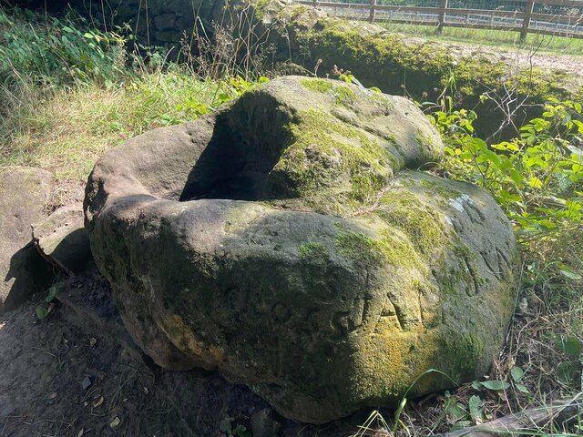
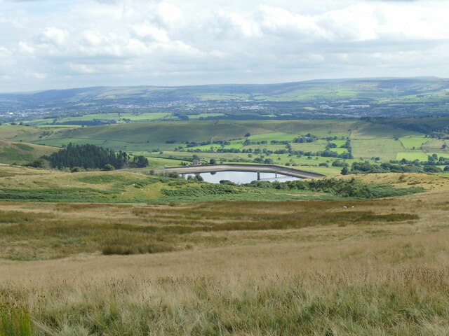
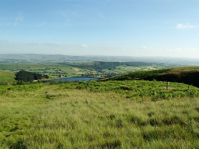
Black Hill Plantation Images
Images are sourced within 2km of 53.824825/-2.3307126 or Grid Reference SD7836. Thanks to Geograph Open Source API. All images are credited.
Black Hill Plantation is located at Grid Ref: SD7836 (Lat: 53.824825, Lng: -2.3307126)
Administrative County: Lancashire
District: Ribble Valley
Police Authority: Lancashire
What 3 Words
///remark.scored.lifetimes. Near Sabden, Lancashire
Nearby Locations
Related Wikis

Sabden
Sabden is a village and civil parish in the Ribble Valley, Lancashire, England. Sabden is located south of Pendle Hill, in a valley about three miles north...

Huntroyde Hall
Huntroyde Hall is a grade II listed, 16th-century house in the civil parish of Simonstone in the Borough of Ribble Valley, Lancashire, England. Its estate...

Simonstone, Lancashire
Simonstone is a small village and civil parish in the Ribble Valley district of Lancashire, England. The population of the civil parish taken at the 2011...

Higham, Lancashire
Higham is a village in the Borough of Pendle in Lancashire, England, south of Pendle Hill. The civil parish is named Higham with West Close Booth. The...

Padiham F.C.
Padiham Football Club are an English football team based in Padiham, Lancashire. As of 2019–20, they play in the North West Counties League Premier Division...

Read, Lancashire
Read is a village in Lancashire 5 miles west northwest of Burnley and 2 miles east of Whalley. It is on the A671 which is the main road between Burnley...

Gawthorpe (ward)
Gawthorpe is an electoral ward in the non-metropolitan district of Burnley in Lancashire, England. The population of the Burnley Ward at the 2011 census...

Padiham Town Hall
Padiham Town Hall is a municipal building in Burnley Road, Padiham, Lancashire, England. The town hall, which was the headquarters of Padiham Urban District...
Nearby Amenities
Located within 500m of 53.824825,-2.3307126Have you been to Black Hill Plantation?
Leave your review of Black Hill Plantation below (or comments, questions and feedback).