Corseleas Brake

Wood, Forest in Gloucestershire Tewkesbury

England

Corseleas Brake

Newent Road, Highnam
Newent Road, Highnam Credit: David Howard

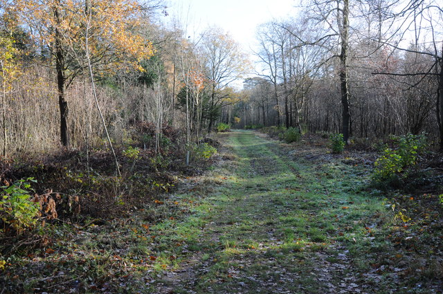
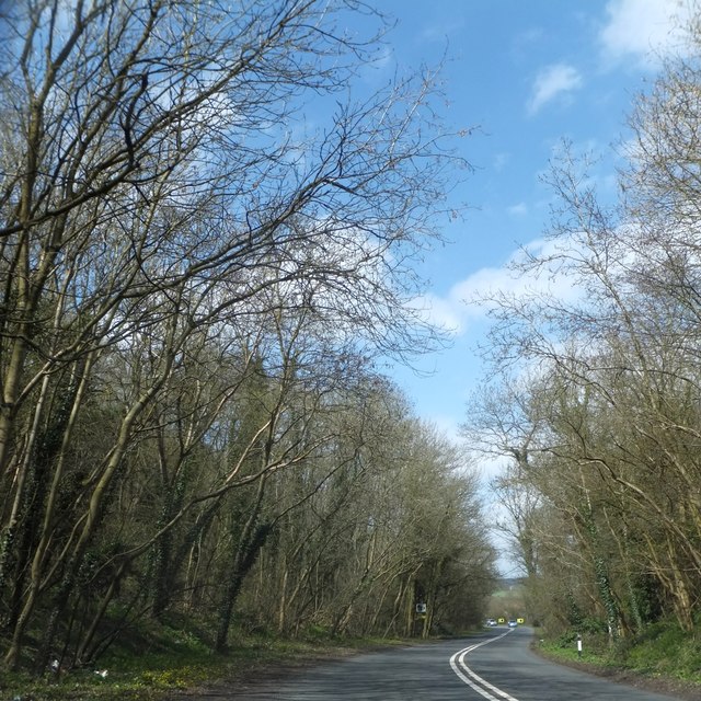
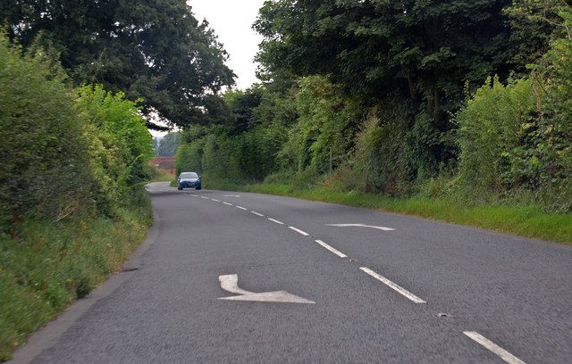
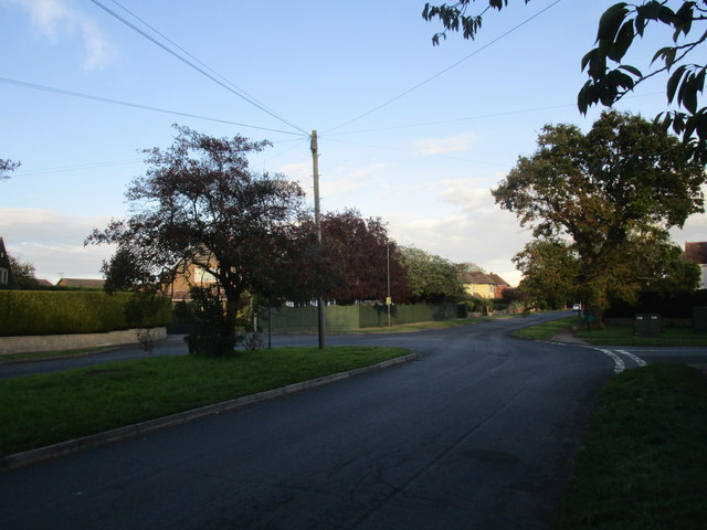
Corseleas Brake is a wooded area located in Gloucestershire, England. Situated within the Forest of Dean, it covers a total area of approximately 200 acres. The forest is known for its diverse range of flora and fauna, making it a popular destination for nature enthusiasts and hikers.

The woodland in Corseleas Brake is predominantly composed of mature trees, including oak, beech, and ash. These trees provide a dense canopy that offers shade and shelter for a variety of wildlife species. The forest floor is covered in a thick layer of leaf litter, creating a rich habitat for many small mammals and invertebrates.

The forest also features a network of well-maintained walking trails, allowing visitors to explore the area and enjoy the natural beauty of the surroundings. These trails provide access to several viewpoints, offering panoramic vistas of the forest and its surroundings.

Corseleas Brake is managed by the Forestry Commission, which ensures the preservation and conservation of the woodland. The area is carefully monitored to prevent damage and maintain the ecological balance of the forest.

In addition to its natural beauty, Corseleas Brake also holds historical importance. The forest has been used for centuries as a source of timber and fuel, contributing to the local economy. Today, it serves as a recreational space for both locals and tourists, providing a peaceful escape from the hustle and bustle of everyday life.

If you have any feedback on the listing, please let us know in the comments section below.

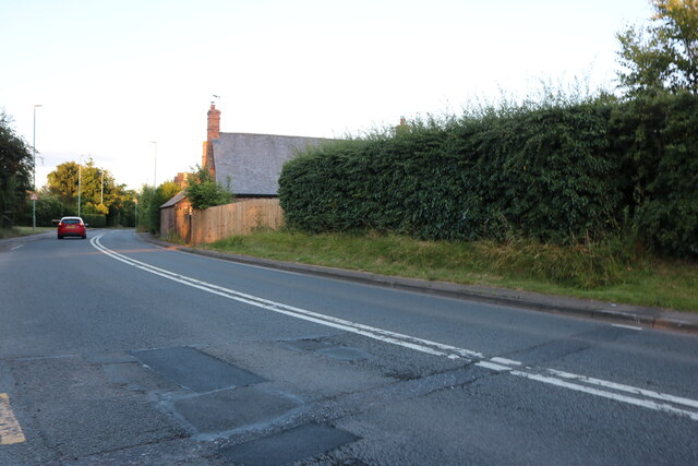
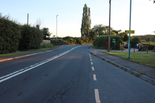
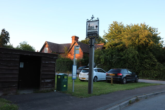
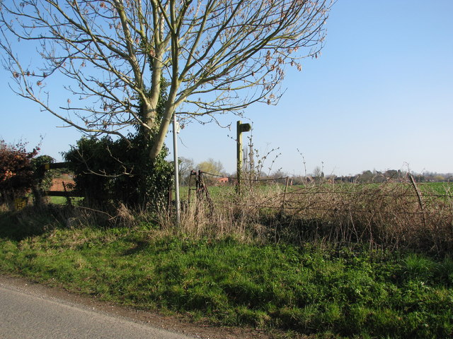
Corseleas Brake Images

Images are sourced within 2km of 51.867496/-2.3160959 or Grid Reference SO7818. Thanks to Geograph Open Source API. All images are credited.

Newent Road, Highnam
Highnam village sign This has been added since Google was last here in 2009
Highnam village sign
This has been added since Google was last here in 2009
Maidenhall, Highnam The main avenue has a grassy central strip.
Maidenhall, Highnam
The main avenue has a grassy central strip.
Newent Road, Highnam
On the B4215 about to enter Highnam from the west
In Highnam, turning to historic church on the left
Footpaths around Highnam
Track in Highnam Woods Track through Highnam Woods on a frosty December morning.
Track in Highnam Woods
Track through Highnam Woods on a frosty December morning.
Rodway Hill Golf Course
Highnam Day Nursery
Highnam Day Nursery
Woodland on Rodway Hill
B4215 near Rodway Hill Golf Club
Maidenhall, Highnam A large suburban development.
Maidenhall, Highnam
A large suburban development.
Church of the Holy Innocents, Highnam This Neo-Gothic church was built by Thomas Gambier Parry in 1851 in memory his children who had died in infancy and of his first wife Isabella, who died in 1848.
Church of the Holy Innocents, Highnam
This Neo-Gothic church was built by Thomas Gambier Parry in 1851 in memory his children who had died in infancy and of his first wife Isabella, who died in 1848.
Church Notice Board, Highnam
Highnam Church Lodge Grade II listed lodge <span class="nowrap"><a title="http://www.britishlistedbuildings.co.uk/en-134341-church-lodge-highnam" rel="nofollow ugc noopener" href="http://www.britishlistedbuildings.co.uk/en-134341-church-lodge-highnam">Link</a><img style="margin-left:2px;" alt="External link" title="External link - shift click to open in new window" src="https://s1.geograph.org.uk/img/external.png" width="10" height="10"/></span> built for the church sacristan. Viewed hgere across the cricket field from the church.
Highnam Church Lodge
Grade II listed lodge LinkExternal link built for the church sacristan. Viewed hgere across the cricket field from the church.
Highnam Cricket Pavilion The village's cricket pitch is beside Highnam Parish Church.
Highnam Cricket Pavilion
The village's cricket pitch is beside Highnam Parish Church.
Show me another place!

Corseleas Brake is located at Grid Ref: SO7818 (Lat: 51.867496, Lng: -2.3160959)

Administrative County: Gloucestershire

District: Tewkesbury

Police Authority: Gloucestershire

What 3 Words

///museum.avoid.opera. Near Gloucester, Gloucestershire

Nearby Locations

Mary Grove Corseleas Brake

Related Wikis

Highnam Woods

Highnam Wood is a nature reserve located in Gloucestershire and established by the RSPB to protect bird species in the region. A two-kilometre nature...

School of the Lion

The School of the Lion was an independent school based in Churcham, Gloucestershire. The school was founded in by 1987 by a group of Gloucestershire-based...
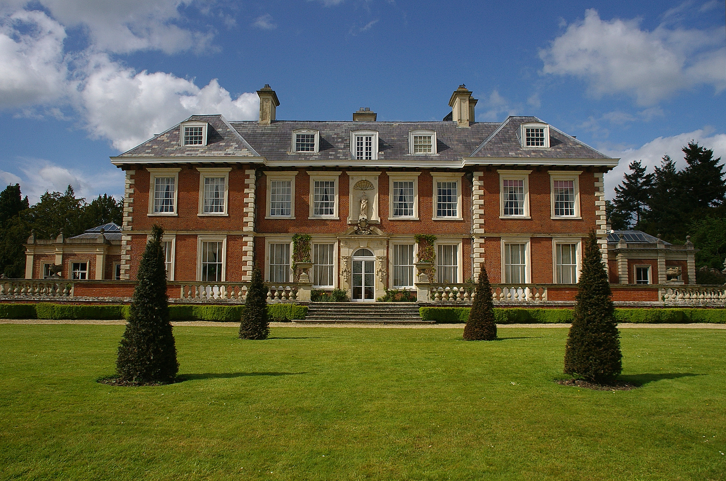
Highnam Court

Highnam Court is a Grade I listed country house in Highnam, Gloucestershire, England, constructed in the 17th century. The estate passed from the Cooke...

Churcham

Churcham is a small village and civil parish in the Forest of Dean District of Gloucestershire in England, located 4 miles (6.4 km) west of Gloucester...

Nearby Amenities

Located within 500m of 51.867496,-2.3160959
Bus Stop
Churcham Garage
Naptan AtcoCode: 1600GLF080
Naptan Bearing: E
Naptan CommonName: Churcham Garage
Naptan Indicator: Opp
Naptan NaptanCode: gloatgpa
Naptan Street: A40
Naptan Verified: no
Source: naptan_import
Lat/Long: 51.868816/-2.3210264
Bus Stop
Two Mile Lane
Bench: no
Bin: no
Bus: yes
Lit: no
Naptan AtcoCode: 1600GLF097
Naptan Bearing: W
Naptan CommonName: Two Mile Lane
Naptan Indicator: Opp
Naptan NaptanCode: gloatjgj
Naptan Street: A40
Naptan Verified: no
Public Transport: platform
Shelter: no
Source: naptan_import
Tactile Paving: no
Lat/Long: 51.8688617/-2.310899
Bus Stop
Two Mile Lane
Bench: no
Bin: no
Bus: yes
Lit: no
Naptan AtcoCode: 1600GLF098
Naptan Bearing: E
Naptan CommonName: Two Mile Lane
Naptan NaptanCode: gloatjgm
Naptan Street: A40
Naptan Verified: no
Public Transport: platform
Shelter: no
Source: naptan_import
Tactile Paving: no
Lat/Long: 51.8689795/-2.3109024
The data included in this document is from www.openstreetmap.org. The data is made available under ODbL.

Have you been to Corseleas Brake?

Leave your review of Corseleas Brake below (or comments, questions and feedback).