Mary Grove
Wood, Forest in Gloucestershire Tewkesbury
England
Mary Grove
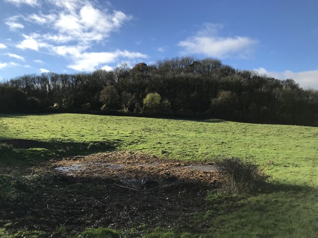
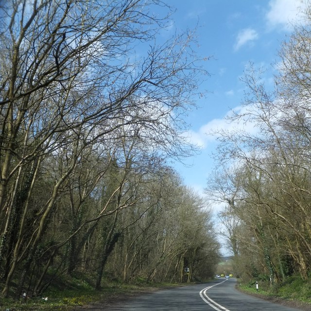
Mary Grove is a charming village located in the county of Gloucestershire, England. Situated in the picturesque Forest of Dean, it is surrounded by lush woodlands, making it a haven for nature enthusiasts and those seeking a peaceful retreat.
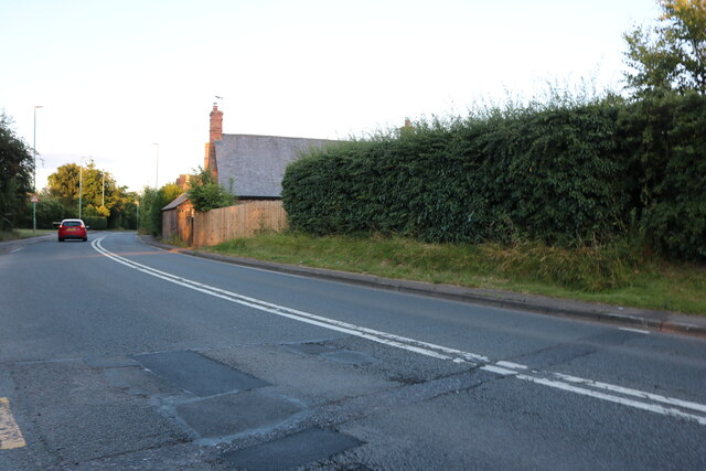
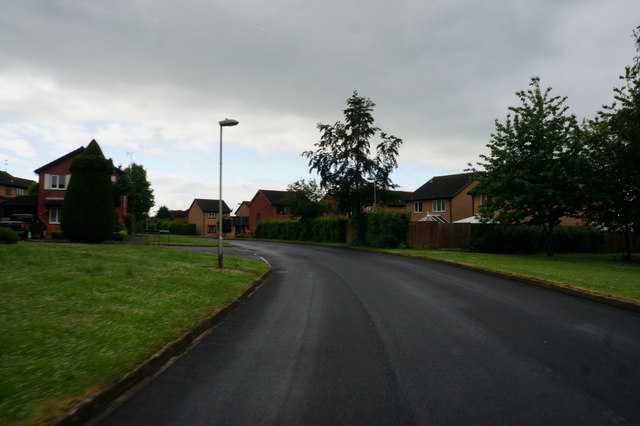
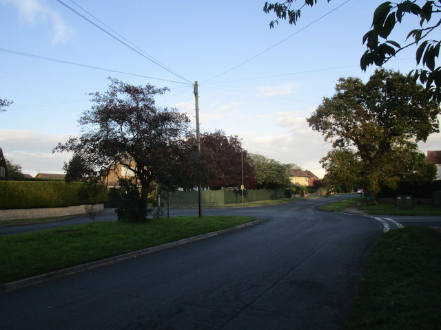
The village is characterized by its quaint and idyllic atmosphere, with traditional stone houses and cottages lining its narrow streets. The community of Mary Grove is known for its close-knit and friendly residents, who take pride in maintaining the village's natural beauty and preserving its rich history.
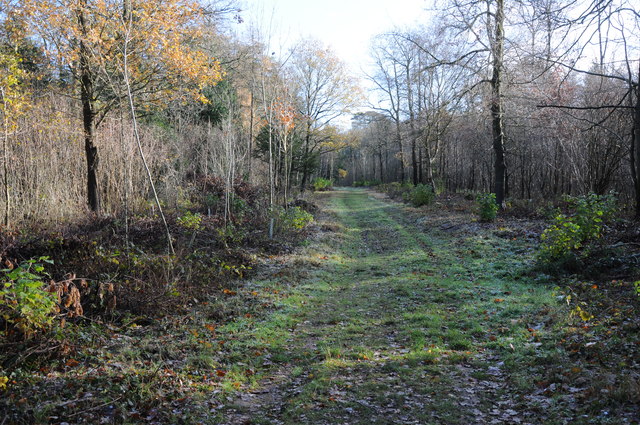
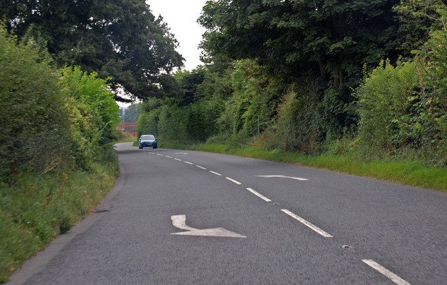
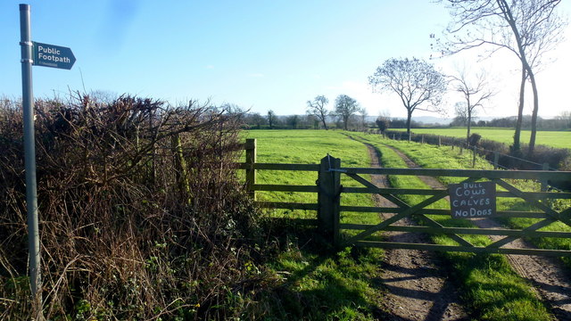
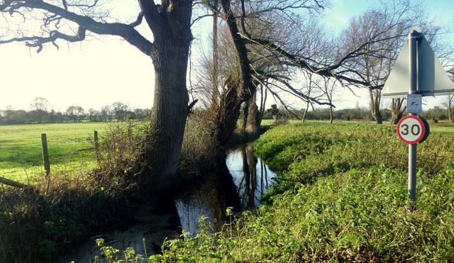
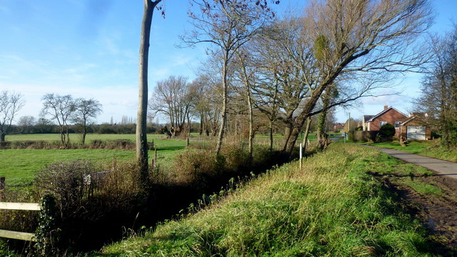
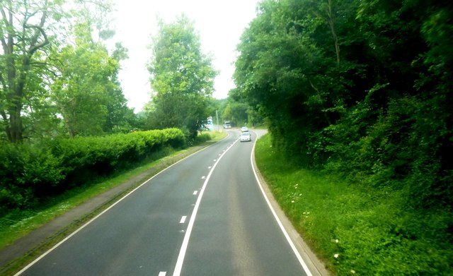
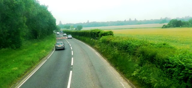
The Forest of Dean, which encompasses Mary Grove, offers a plethora of outdoor activities. Hiking and walking trails are abundant, allowing visitors to explore the stunning woodlands, discover hidden waterfalls, and observe the diverse wildlife that call this area home. The forest is also known for its cycling routes, providing opportunities for both leisurely rides and more challenging terrain.
In addition to its natural splendor, Mary Grove is home to several historic landmarks. The village church, St. Mary's, is a notable architectural gem, dating back to the 12th century. Its beautiful stained glass windows and intricate stonework are a testament to the village's rich heritage.
Despite its tranquil ambiance, Mary Grove is conveniently located near larger towns and cities. Gloucester and Cheltenham are easily accessible, offering a range of amenities, shopping centers, and cultural attractions. However, many residents and visitors are drawn to Mary Grove for its peaceful setting and the simple pleasures of village life.
If you have any feedback on the listing, please let us know in the comments section below.
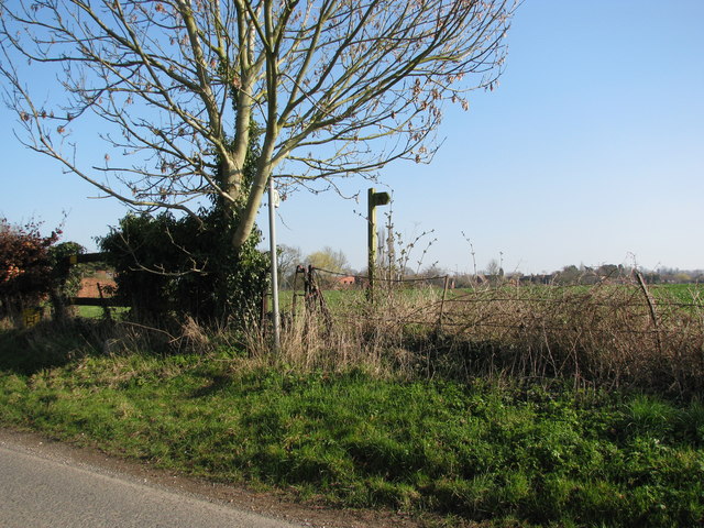
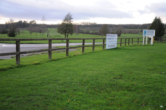
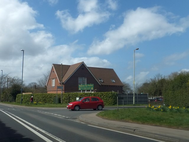
Mary Grove Images
Images are sourced within 2km of 51.868058/-2.3142989 or Grid Reference SO7818. Thanks to Geograph Open Source API. All images are credited.
Mary Grove is located at Grid Ref: SO7818 (Lat: 51.868058, Lng: -2.3142989)
Administrative County: Gloucestershire
District: Tewkesbury
Police Authority: Gloucestershire
What 3 Words
///larger.losses.unrealistic. Near Gloucester, Gloucestershire
Nearby Locations
Related Wikis

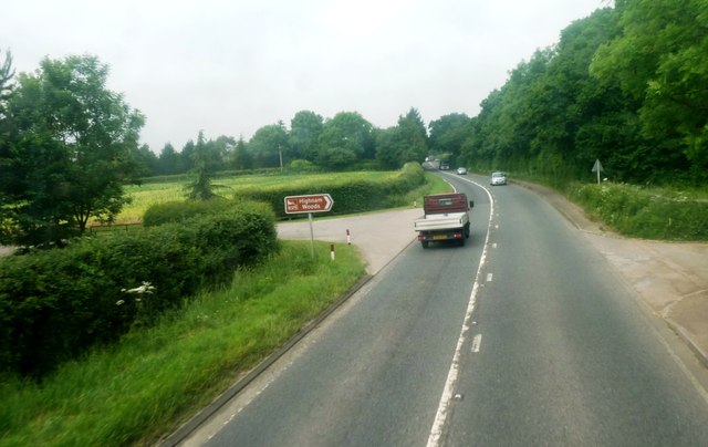
Highnam Woods
Highnam Wood is a nature reserve located in Gloucestershire and established by the RSPB to protect bird species in the region. A two-kilometre nature...

School of the Lion
The School of the Lion was an independent school based in Churcham, Gloucestershire. The school was founded in by 1987 by a group of Gloucestershire-based...
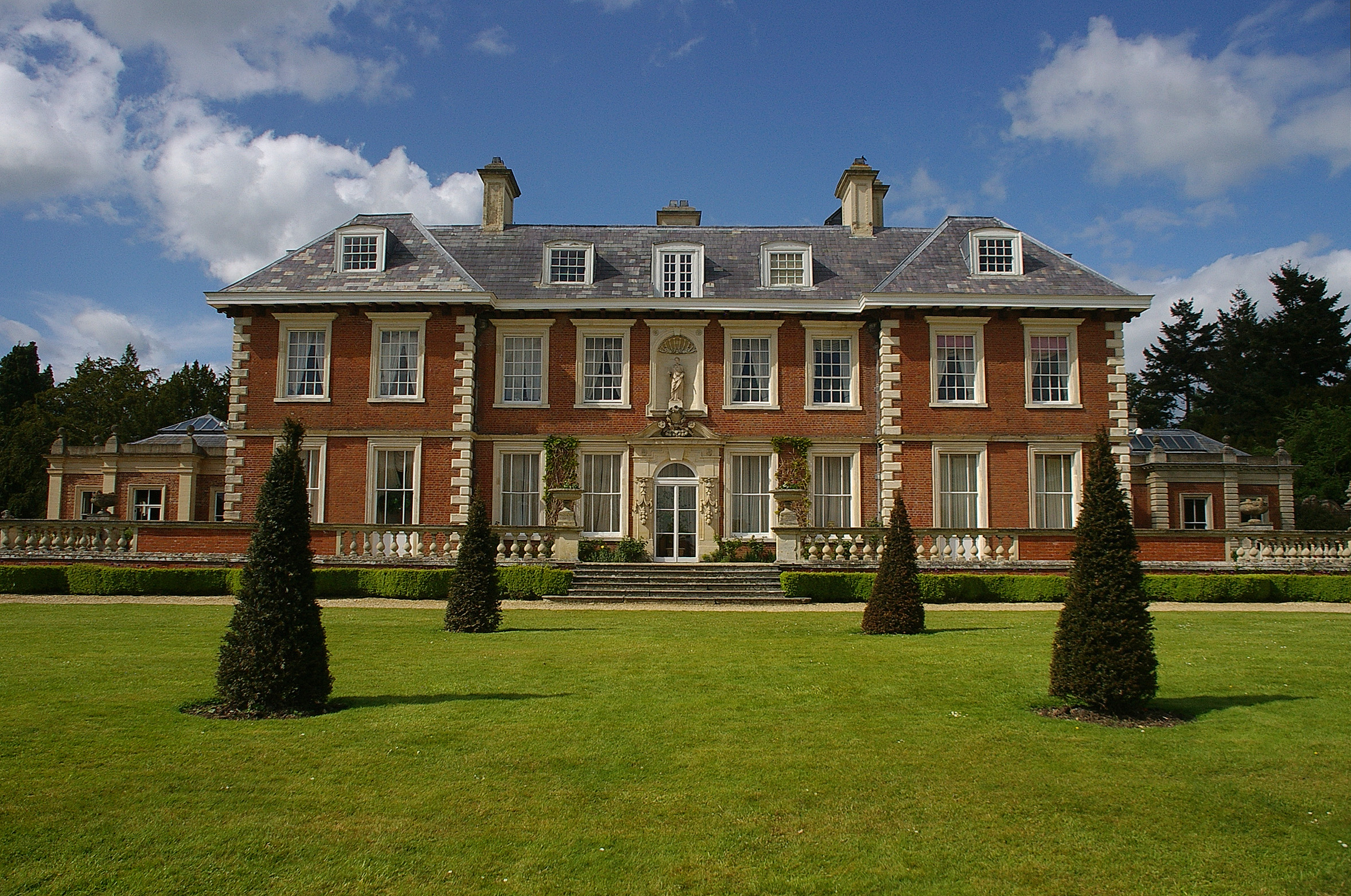
Highnam Court
Highnam Court is a Grade I listed country house in Highnam, Gloucestershire, England, constructed in the 17th century. The estate passed from the Cooke...
Highnam
Highnam is a village and civil parish on the outskirts of the city of Gloucester. It is three miles northwest of the city on the A40, on the way to Ross...

Churcham
Churcham is a small village and civil parish in the Forest of Dean District of Gloucestershire in England, located 4 miles (6.4 km) west of Gloucester...

Minsterworth
Minsterworth is a village in Gloucestershire, England. It lies on the border of the City of Gloucester, on the north bank of the River Severn (effectively...

Severn bore
The Severn bore is a tidal bore seen on the tidal reaches of the River Severn in south western England. It is formed when the rising tide moves into the...

Lassington Wood
Lassington Wood is a nature reserve near Highnam, Gloucestershire. Part of the estate of the Guise family since the 13th century it was donated to Gloucester...
Nearby Amenities
Located within 500m of 51.868058,-2.3142989Have you been to Mary Grove?
Leave your review of Mary Grove below (or comments, questions and feedback).