Brown Rigg Plantation
Wood, Forest in Northumberland
England
Brown Rigg Plantation
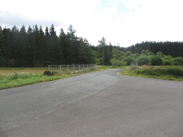
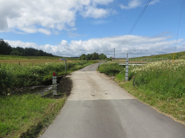
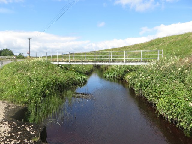
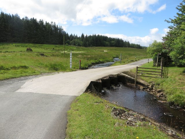
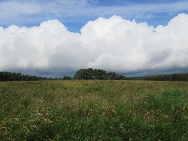
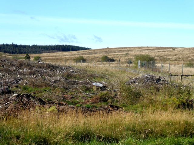
Brown Rigg Plantation is a woodland area located in Northumberland, England. Covering an expansive 200 acres, it is situated near the village of Bellingham in the beautiful North Tyne Valley. The plantation is part of the larger Kielder Forest, which is renowned as the largest man-made forest in England.
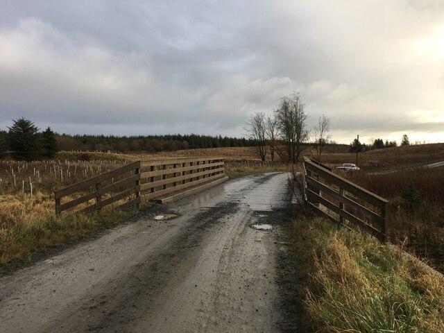
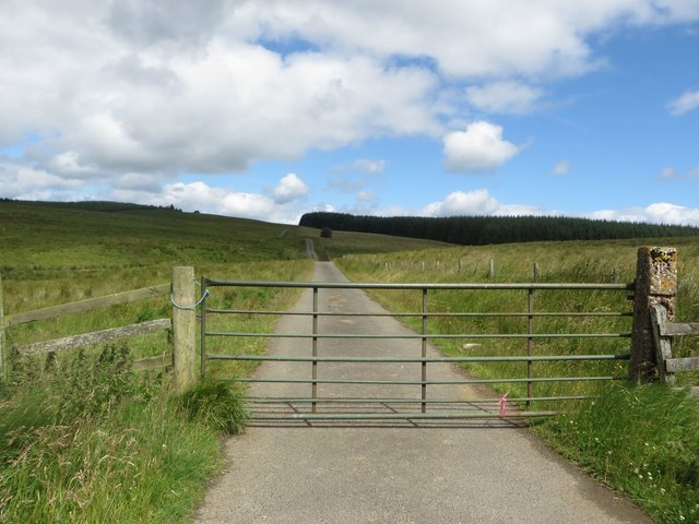
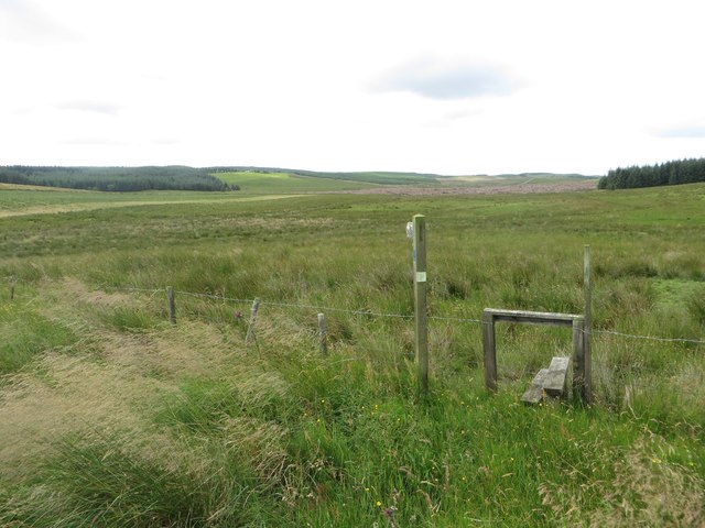
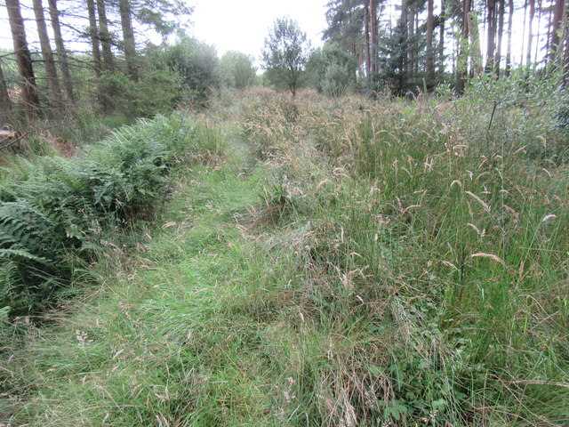
The woodland at Brown Rigg Plantation is predominantly composed of coniferous trees, such as Sitka spruce, pine, and larch. These evergreen trees provide a lush and dense canopy, creating a picturesque landscape throughout the year. The plantation also features a network of well-maintained trails, offering visitors the opportunity to explore the woodland on foot, by bike, or on horseback.
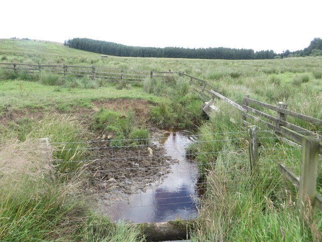
Brown Rigg Plantation is not only a haven for nature enthusiasts but also serves as an important habitat for a wide range of wildlife. Species commonly found in the area include red squirrels, roe deer, and various bird species, including buzzards and woodpeckers.
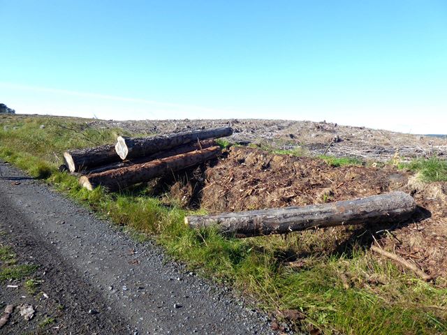
The plantation is managed sustainably, with periodic tree felling and replanting to maintain a healthy and diverse woodland ecosystem. It is also a popular destination for outdoor activities, with facilities for camping and picnicking available for visitors. Additionally, the plantation provides an excellent venue for educational activities, with regular guided tours and workshops organized for schools and other groups.
Overall, Brown Rigg Plantation offers a tranquil and scenic escape, allowing visitors to immerse themselves in the natural beauty of Northumberland's woodlands.
If you have any feedback on the listing, please let us know in the comments section below.
Brown Rigg Plantation Images
Images are sourced within 2km of 55.082347/-2.3389781 or Grid Reference NY7876. Thanks to Geograph Open Source API. All images are credited.


Brown Rigg Plantation is located at Grid Ref: NY7876 (Lat: 55.082347, Lng: -2.3389781)
Unitary Authority: Northumberland
Police Authority: Northumbria
What 3 Words
///chain.lifetimes.perfume. Near Bellingham, Northumberland
Nearby Locations
Related Wikis
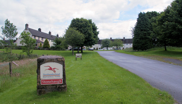
Stonehaugh
Stonehaugh is a small settlement in Northumberland about 5 miles (8 km) west of Wark on Tyne and 4 Roman miles (6 km) north of Hadrian's Wall. It was purpose...

The Goatstones
The Goatstones is a Bronze-Age four-poster stone circle located near Ravensheugh Crags in Northumberland, England. It is 2.5 miles (4.0 km) to the north...

Wark Forest
Wark Forest is the southern part of Kielder Forest in Northumberland, England. Wark Forest is found within the south-west tip of Northumberland National...

Halleypike Lough
Halleypike Lough is an inland lake on Haughton Common at the southern edge of Northumberland National Park, northeast of Bardon Mill, and 1 mile (1.6 km...

Milecastle 35
Milecastle 35 (Sewingshields) is one of the milecastles on Hadrian's Wall (grid reference NY80497018). The remains still exist as exposed masonry. ��2...

Broomlee Lough
Broomlee Lough is an inland lake in Northumberland, England at the southern edge of Northumberland National Park. The lough lies immediately north of the...
Milecastle 34
Milecastle 34 (Grindon) was a milecastle of the Roman Hadrian's Wall. There are no visible remains, but the site is within a small, tree-filled, walled...

Milecastle 36
Milecastle 36 (King's Hill) was one of the milecastles on Hadrian's Wall (grid reference NY79726931). There is little to see on the ground as most of the...
Nearby Amenities
Located within 500m of 55.082347,-2.3389781Have you been to Brown Rigg Plantation?
Leave your review of Brown Rigg Plantation below (or comments, questions and feedback).