Birk Hill
Hill, Mountain in Northumberland
England
Birk Hill
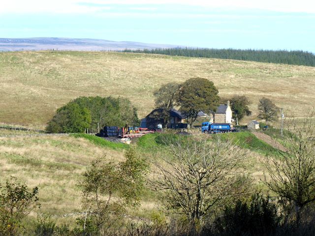
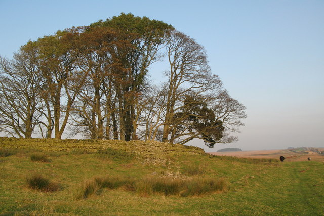
Birk Hill is a prominent geological feature located in the county of Northumberland, England. Standing at an elevation of approximately 275 meters (900 feet), it is classified as a hill rather than a mountain due to its relatively moderate height. Birk Hill is situated within the North Pennines Area of Outstanding Natural Beauty, a designation that reflects its stunning natural surroundings.
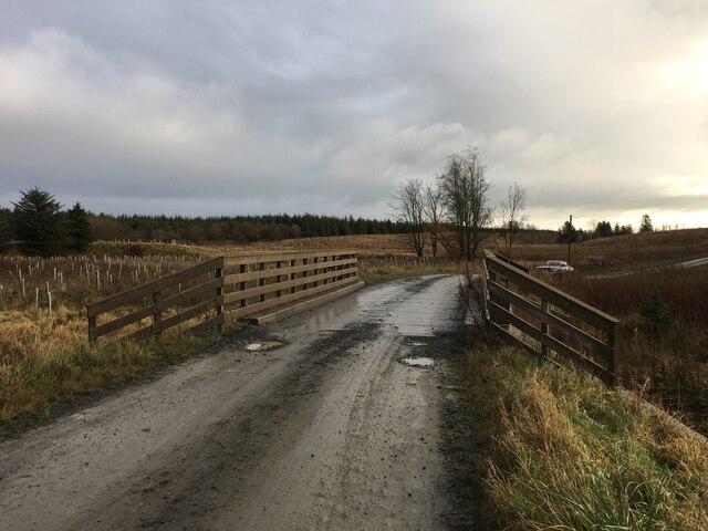
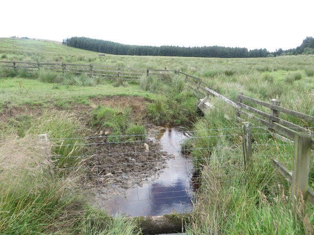
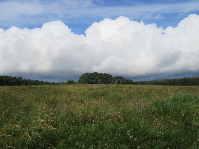
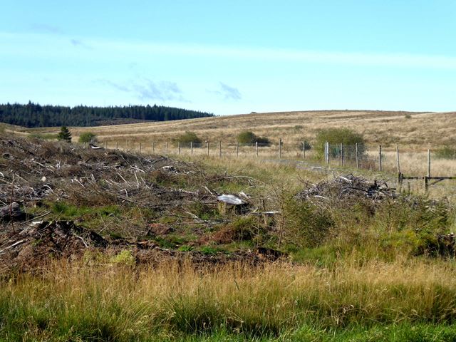
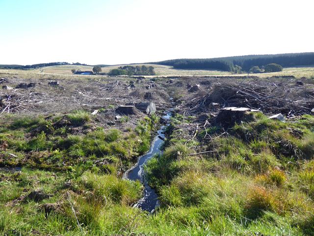
The hill is characterized by its rolling slopes and is predominantly covered in heather and grassland, typical of the Northumberland uplands. Its location offers breathtaking panoramic views of the surrounding landscape, including the Cheviot Hills to the north and the Tyne Valley to the south.
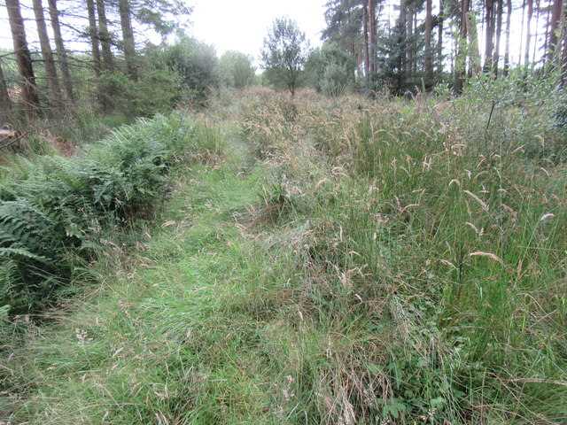
Birk Hill is a popular destination for outdoor enthusiasts, hikers, and nature lovers. Several walking trails crisscross the area, offering visitors the opportunity to explore the hill's diverse flora and fauna. The hill is home to a variety of bird species, including grouse, curlew, and skylarks, making it a haven for birdwatchers.
In addition to its natural beauty, Birk Hill also boasts historical significance. The remains of an Iron Age hillfort, known as Birk Hill Camp, can be found near its summit. This archaeological site provides an intriguing glimpse into the region's ancient past and attracts history enthusiasts.
Overall, Birk Hill in Northumberland offers a combination of stunning natural scenery, diverse wildlife, and historical intrigue. Whether one seeks outdoor adventure or simply a peaceful escape in nature, Birk Hill is a captivating destination to explore.
If you have any feedback on the listing, please let us know in the comments section below.
Birk Hill Images
Images are sourced within 2km of 55.086373/-2.3324324 or Grid Reference NY7876. Thanks to Geograph Open Source API. All images are credited.


Birk Hill is located at Grid Ref: NY7876 (Lat: 55.086373, Lng: -2.3324324)
Unitary Authority: Northumberland
Police Authority: Northumbria
What 3 Words
///cleanest.crisis.easily. Near Bellingham, Northumberland
Nearby Locations
Related Wikis
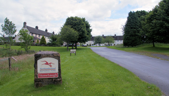
Stonehaugh
Stonehaugh is a small settlement in Northumberland about 5 miles (8 km) west of Wark on Tyne and 4 Roman miles (6 km) north of Hadrian's Wall. It was purpose...

The Goatstones
The Goatstones is a Bronze-Age four-poster stone circle located near Ravensheugh Crags in Northumberland, England. It is 2.5 miles (4.0 km) to the north...

Wark Forest
Wark Forest is the southern part of Kielder Forest in Northumberland, England. Wark Forest is found within the south-west tip of Northumberland National...

Halleypike Lough
Halleypike Lough is an inland lake on Haughton Common at the southern edge of Northumberland National Park, northeast of Bardon Mill, and 1 mile (1.6 km...

Milecastle 35
Milecastle 35 (Sewingshields) is one of the milecastles on Hadrian's Wall (grid reference NY80497018). The remains still exist as exposed masonry. ��2...
Milecastle 34
Milecastle 34 (Grindon) was a milecastle of the Roman Hadrian's Wall. There are no visible remains, but the site is within a small, tree-filled, walled...

Broomlee Lough
Broomlee Lough is an inland lake in Northumberland, England at the southern edge of Northumberland National Park. The lough lies immediately north of the...

Hesleyside Hall
Hesleyside Hall is a privately owned 18th-century country house and the ancestral home of the Border reiver Charlton family about 2 miles (3 km) west of...
Nearby Amenities
Located within 500m of 55.086373,-2.3324324Have you been to Birk Hill?
Leave your review of Birk Hill below (or comments, questions and feedback).