Stagborough Hill
Hill, Mountain in Worcestershire Wyre Forest
England
Stagborough Hill
Stagborough Hill is a prominent landmark located in Worcestershire, England. As the name suggests, it is a hill that stands tall and majestic, offering breathtaking views of the surrounding countryside. Situated near the village of Stagborough, this natural wonder is a popular destination for locals and tourists alike.
Rising to an elevation of approximately 300 meters (984 feet), Stagborough Hill boasts a distinctive profile that is recognizable from miles away. Its sloping sides are covered with lush greenery, including scattered trees and shrubs, creating a picturesque scene throughout the year. The hill is primarily composed of sedimentary rocks formed millions of years ago, giving it a unique geological significance.
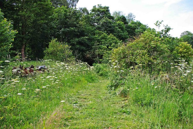
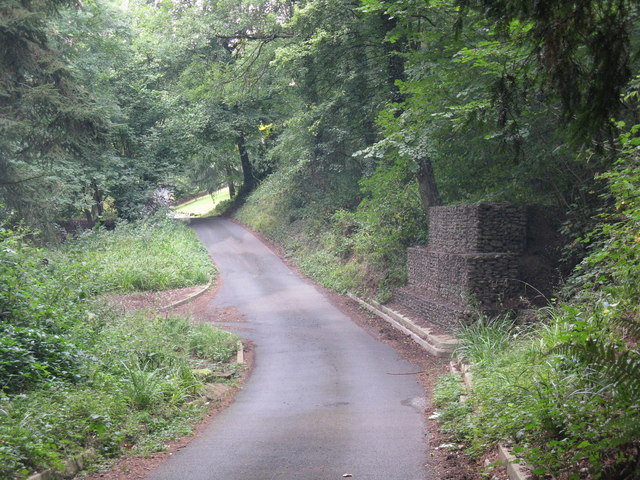
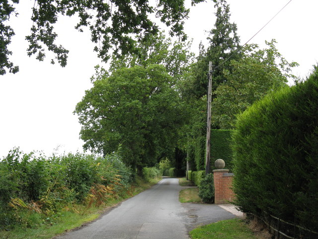
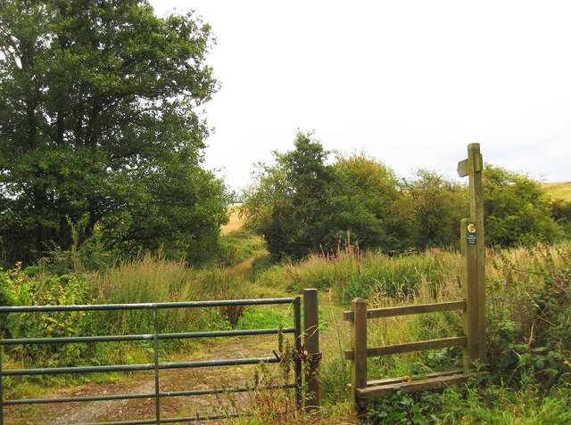
Several walking trails and footpaths wind their way up the hill, allowing visitors to explore its beauty up close. As they ascend, they are rewarded with panoramic views of the Worcestershire countryside, with rolling hills and patchwork fields stretching as far as the eye can see. On clear days, it is even possible to catch a glimpse of the nearby Malvern Hills in the distance.
Stagborough Hill is also home to a diverse range of flora and fauna. The surrounding woodlands provide a habitat for various bird species, including songbirds and raptors. In spring, the hillside comes alive with vibrant wildflowers, adding a splash of color to the landscape.
Whether it's for a leisurely stroll, a picnic with loved ones, or simply to admire the natural beauty, Stagborough Hill offers a serene escape from the hustle and bustle of everyday life. Its tranquil ambiance and panoramic vistas make it a must-visit destination for nature enthusiasts and those seeking a peaceful retreat.
If you have any feedback on the listing, please let us know in the comments section below.
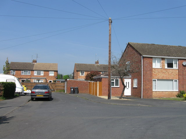
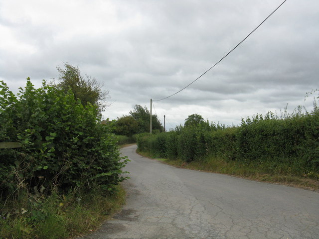
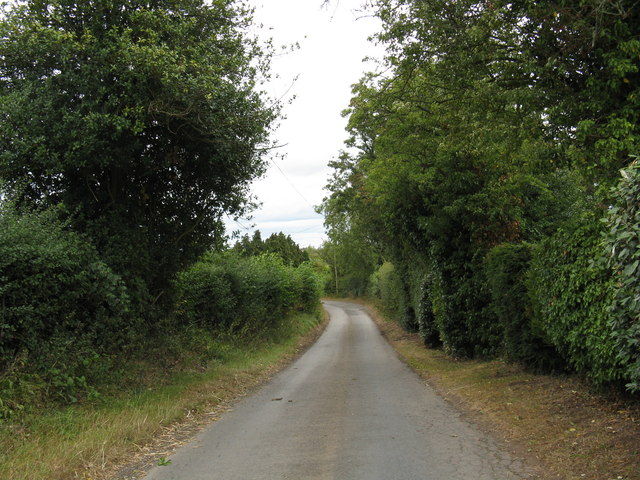
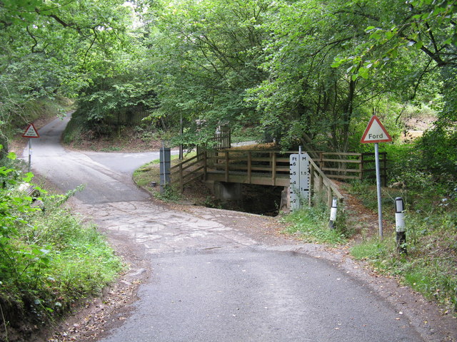
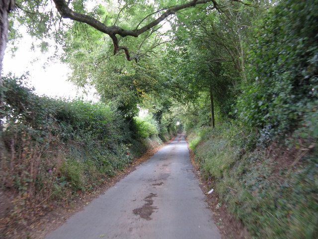
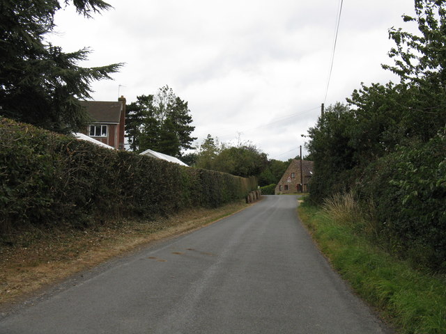
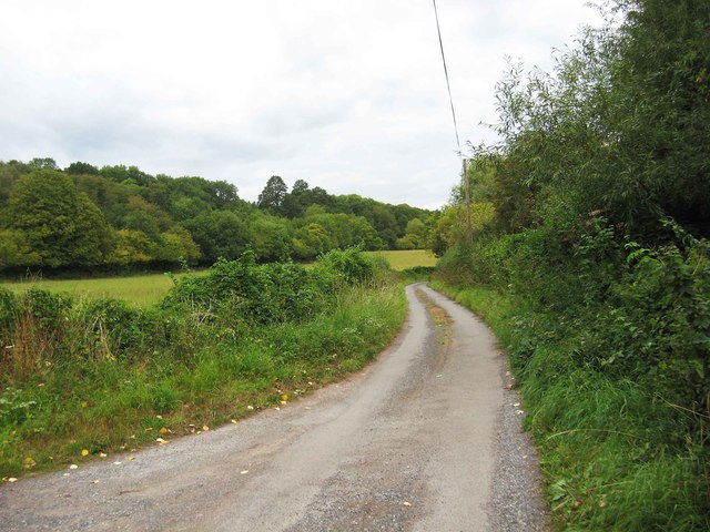
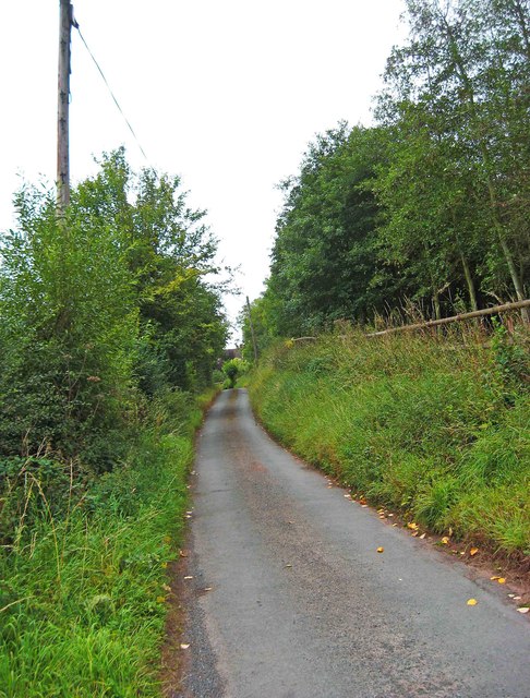
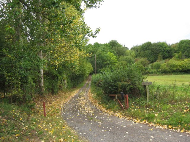
Stagborough Hill Images
Images are sourced within 2km of 52.34711/-2.3113168 or Grid Reference SO7872. Thanks to Geograph Open Source API. All images are credited.


Stagborough Hill is located at Grid Ref: SO7872 (Lat: 52.34711, Lng: -2.3113168)
Administrative County: Worcestershire
District: Wyre Forest
Police Authority: West Mercia
What 3 Words
///irrigate.kickbacks.popular. Near Stourport-on-Severn, Worcestershire
Nearby Locations
Related Wikis

Bewdley Town F.C.
Bewdley Town Football Club is a football club based in Bewdley, Worcestershire, England. They are currently members of the Midland League Premier Division...
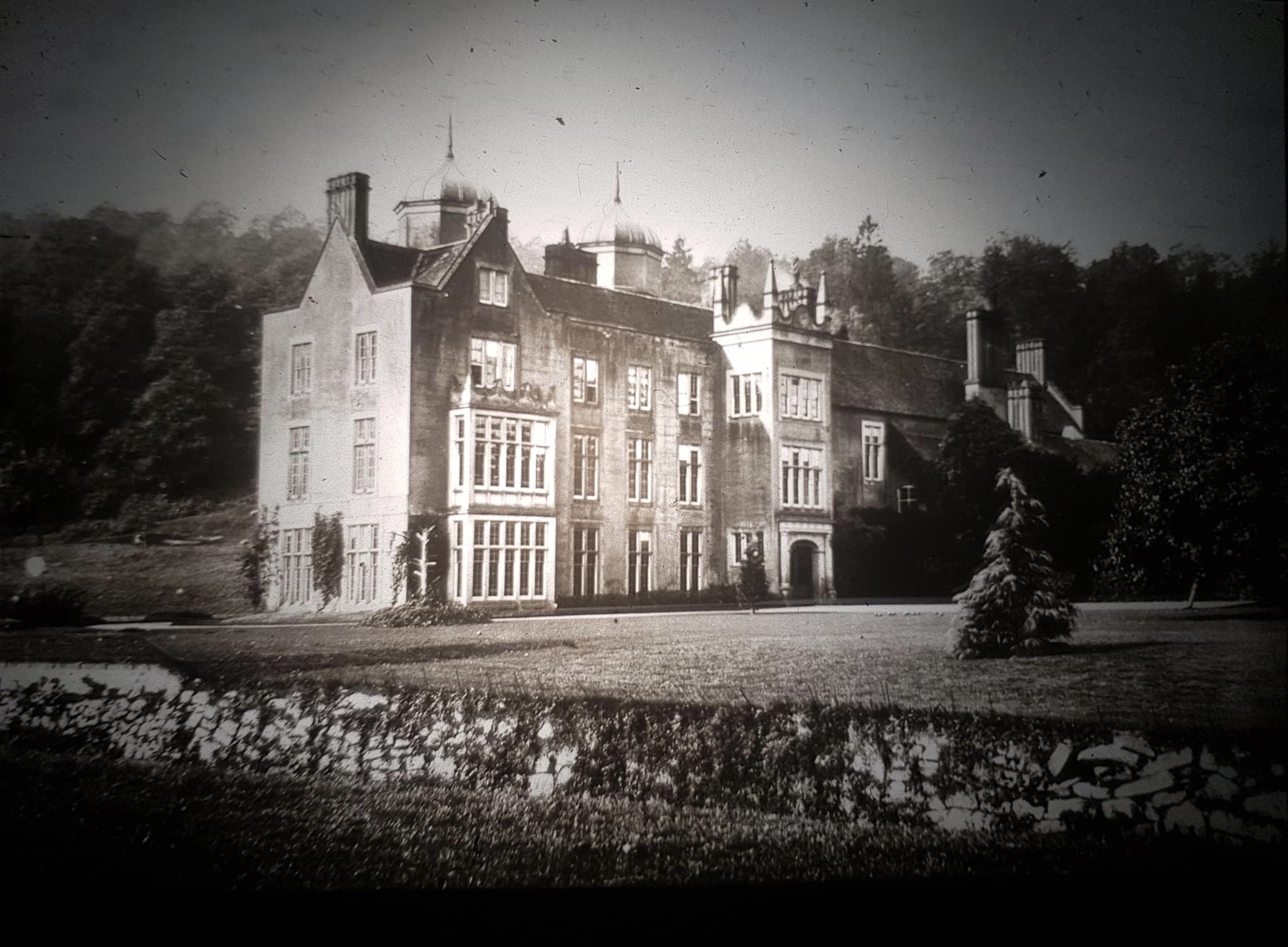
Ribbesford House
Ribbesford House is a historic English mansion in Ribbesford, near Bewdley, Worcestershire. The house and its surrounding estate have a history dating...

Ribbesford
Ribbesford is a village and civil parish in the Wyre Forest District of Worcestershire, England. At the 2001 census it had a population of 237.Notable...

Burlish Halt railway station
Burlish Halt railway station was a station on the Severn Valley Railway in Stourport-on-Severn, Worcestershire, England. The halt opened on 31 March 1930...
Areley Hall
Areley Hall is a Grade II listed country house near Areley Kings in Stourport-on-Severn, Worcestershire, England. It is not to be confused with nearby...

Areley Kings
Areley Kings is a village on the River Severn in the Wyre District of Worcestershire, England. It is 10 miles north of Worcester and south of Stourport...

Heightington
Heightington is a small village in Worcestershire, England. It lies a little to the south-west of Bewdley and a little to the west of Stourport-on-Severn...

Stourport Boat Club
Stourport Boat Club is a rowing club on the River Severn, based at the Riverside, Dunley Road, Stourport-on-Severn, Worcestershire. == History == The club...
Nearby Amenities
Located within 500m of 52.34711,-2.3113168Have you been to Stagborough Hill?
Leave your review of Stagborough Hill below (or comments, questions and feedback).