Knight's Plantation

Wood, Forest in Staffordshire Stafford

England

Knight's Plantation

Norbury Road sunshine and cloud Sunlight highlights the hedge while black clouds beyond bring heavy showers to some.
Norbury Road sunshine and cloud Credit: roger geach

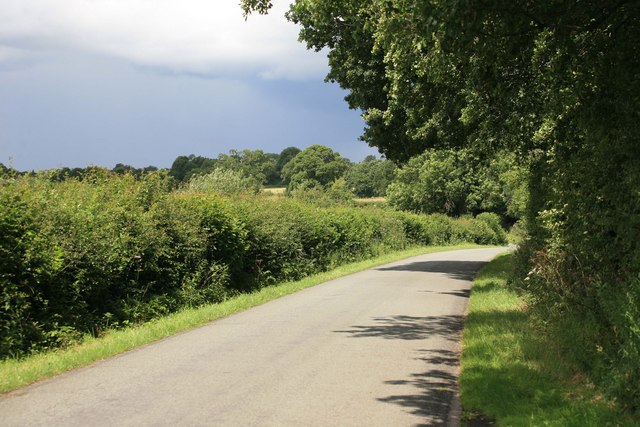
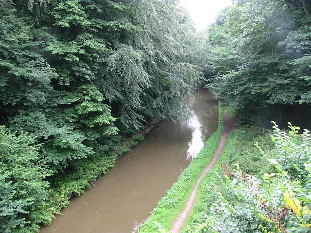
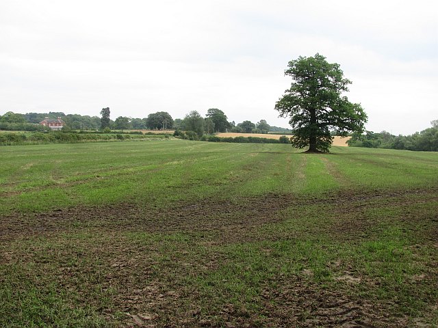
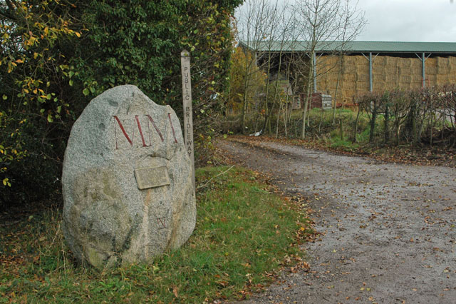
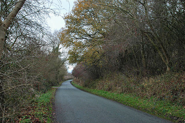
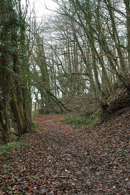
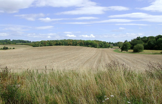
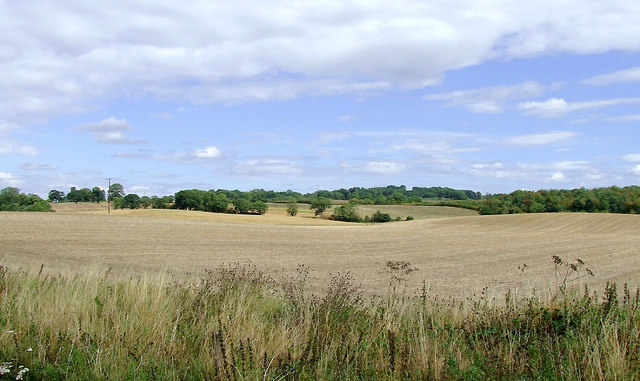
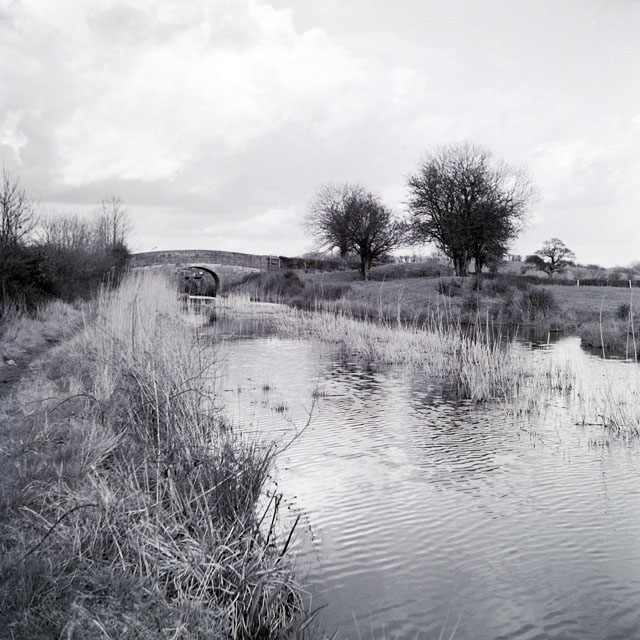
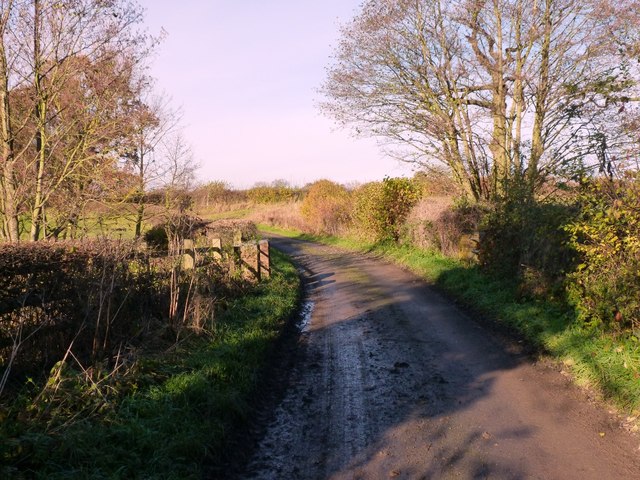
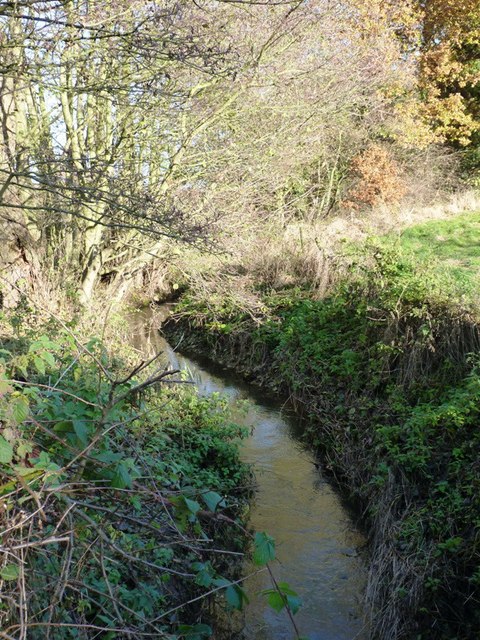
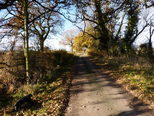
Knight's Plantation is a picturesque woodland located in Staffordshire, England. Spread across a sprawling area, it serves as a haven for nature enthusiasts and offers a serene escape from the hustle and bustle of city life. The plantation is situated within the larger Staffordshire Forest, boasting an abundance of diverse flora and fauna.

The woodland features a mix of native and introduced tree species, including oak, beech, birch, and pine, which create a captivating tapestry of colors throughout the year. The lush undergrowth is home to a wide array of wildflowers and ferns, adding to the enchanting atmosphere of the plantation.

Knight's Plantation is a popular destination for outdoor activities such as hiking, cycling, and birdwatching. Its well-maintained trails wind through the forest, providing visitors with opportunities to explore the area's natural beauty. Bird enthusiasts are often delighted by the presence of various avian species, including woodpeckers, owls, and songbirds.

In addition to its natural splendor, Knight's Plantation also holds historical significance. It was once part of the estate owned by the Knight family, who played a prominent role in the local community during the 19th century. The remnants of a historic manor house and a few outbuildings can still be found within the woodland, providing glimpses into the area's rich heritage.

Overall, Knight's Plantation in Staffordshire is a captivating woodland retreat, offering visitors a chance to immerse themselves in the beauty of nature while also connecting with the region's history.

If you have any feedback on the listing, please let us know in the comments section below.

Knight's Plantation Images

Images are sourced within 2km of 52.803013/-2.3209436 or Grid Reference SJ7822. Thanks to Geograph Open Source API. All images are credited.

Norbury Road sunshine and cloud Sunlight highlights the hedge while black clouds beyond bring heavy showers to some.
Norbury Road sunshine and cloud
Sunlight highlights the hedge while black clouds beyond bring heavy showers to some.
Shropshire Union Canal View from the High Bridge.
Shropshire Union Canal
View from the High Bridge.
A muddy field Silage has just been taken off this field, and vehicle movements have made things muddy. A lone tree in the middle of a field is often a sign that there was once a hedge there.
A muddy field
Silage has just been taken off this field, and vehicle movements have made things muddy. A lone tree in the middle of a field is often a sign that there was once a hedge there.
Roadside 'greasy spoon' Look closely at the person in the 'cafe' and you will see him providing an unusual 'welcome' sign. I was going to purchase a buttie but not after that 'comment'.
Roadside 'greasy spoon'
Look closely at the person in the 'cafe' and you will see him providing an unusual 'welcome' sign. I was going to purchase a buttie but not after that 'comment'.
A 'Millennium Stone' on Grubb Street
Lane to Norbury
Lane to Norbury
Workshops at Norbury Junction
Shropshire Union Canal - just north of Norbury
Woodland near the Shropshire Union Canal
Arable fields east of Norbury, Staffordshire Seen from the Shropshire Union Canal, the woodland ahead is Little Campions; that by the right edge is Moat Covert.
Arable fields east of Norbury, Staffordshire
Seen from the Shropshire Union Canal, the woodland ahead is Little Campions; that by the right edge is Moat Covert.
Arable fields east of Norbury, Staffordshire Seen from the Shropshire Union Canal, the woodland at the right edge is known as Little Campions. Straight ahead and more distant are Gorsey Covert and Ball's Rough, on the skyline.
Arable fields east of Norbury, Staffordshire
Seen from the Shropshire Union Canal, the woodland at the right edge is known as Little Campions. Straight ahead and more distant are Gorsey Covert and Ball's Rough, on the skyline.
Blacklane Bridge, Newport Branch, Shropshire Union Canal, 1965 In 1965 this abandoned canal looked as if only a little work could restore it. Sadly this is far from the case now. The bushes and mound on the right must have been bulldozed into the canal which is now level with the fields, and the lock beyond the bridge has gone, although the bridge survives, apparently in good condition. This was bridge 5 on the branch, and oddly carries Cliffs Lane, not Black Lane.
Blacklane Bridge, Newport Branch, Shropshire Union Canal, 1965
In 1965 this abandoned canal looked as if only a little work could restore it. Sadly this is far from the case now. The bushes and mound on the right must have been bulldozed into the canal which is now level with the fields, and the lock beyond the bridge has gone, although the bridge survives, apparently in good condition. This was bridge 5 on the branch, and oddly carries Cliffs Lane, not Black Lane.
The bridge over the Wood Brook
Wood Brook A small stream that rises over to the NE near Norbury Junction, and flows into Aqualate Mere in <a href="https://www.geograph.org.uk/gridref/SJ7720">SJ7720</a>. An old packhorse bridge crosses it in <a href="https://www.geograph.org.uk/photo/3230830">SJ7720 : Bridleway bridge near New Guild</a>
Wood Brook
A small stream that rises over to the NE near Norbury Junction, and flows into Aqualate Mere in SJ7720. An old packhorse bridge crosses it in SJ7720 : Bridleway bridge near New Guild
Guild Lane, or Via Devana Part of the old, Roman, route from Colchester to Chester ('Deva'), where it passes through the fertile lowlands of west Staffordshire. <span class="nowrap"><a title="http://en.wikipedia.org/wiki/Via_Devana" rel="nofollow ugc noopener" href="http://en.wikipedia.org/wiki/Via_Devana">Link</a><img style="margin-left:2px;" alt="External link" title="External link - shift click to open in new window" src="https://s1.geograph.org.uk/img/external.png" width="10" height="10"/></span>
Guild Lane, or Via Devana
Part of the old, Roman, route from Colchester to Chester ('Deva'), where it passes through the fertile lowlands of west Staffordshire. LinkExternal link
Guild Lane near Sutton village Clearly a Roman route when you look at it in context on the maps, this is part of the Via Devana (The Chester Road) that was built for military purposes from Colchester to Deva. The nearest fort to the south was Pennocrucium near Penkridge, whilst the map suggests there is/was another to the northwest near 'Camp Farm' at Ellerton. That would probably be a reasonable day's march.
Guild Lane near Sutton village
Clearly a Roman route when you look at it in context on the maps, this is part of the Via Devana (The Chester Road) that was built for military purposes from Colchester to Deva. The nearest fort to the south was Pennocrucium near Penkridge, whilst the map suggests there is/was another to the northwest near 'Camp Farm' at Ellerton. That would probably be a reasonable day's march.
Bridge on the lane near Sutton The bridge still carries Guild Lane over the now filled-in Shrewsbury and Newport branch of the Shropshire Union canal. This ran from Norbury Junction, through Newport, and connected with pre-existing canals that ran to Shrewsbury and to the coalfields of the area where much of Telford now lies. It opened in 1835, and closed in the 1940s when rail competition won out. The fact that the canal by then was owned by the London, Midland and Scottish Railway company may have been a factor in this.
Bridge on the lane near Sutton
The bridge still carries Guild Lane over the now filled-in Shrewsbury and Newport branch of the Shropshire Union canal. This ran from Norbury Junction, through Newport, and connected with pre-existing canals that ran to Shrewsbury and to the coalfields of the area where much of Telford now lies. It opened in 1835, and closed in the 1940s when rail competition won out. The fact that the canal by then was owned by the London, Midland and Scottish Railway company may have been a factor in this.
Filled-in canal to Norbury Junction Taken from the bridge over the now filled-in Shrewsbury and Newport branch of the Shropshire Union canal. This ran from Norbury Junction, through Newport, and connected with pre-existing canals that ran to Shrewsbury and to the coalfields of the area where much of Telford now lies. It opened in 1835, and closed in the 1940s when rail competition won out. The fact that the canal by then was owned by the London, Midland and Scottish Railway company may have been a factor in this.
Filled-in canal to Norbury Junction
Taken from the bridge over the now filled-in Shrewsbury and Newport branch of the Shropshire Union canal. This ran from Norbury Junction, through Newport, and connected with pre-existing canals that ran to Shrewsbury and to the coalfields of the area where much of Telford now lies. It opened in 1835, and closed in the 1940s when rail competition won out. The fact that the canal by then was owned by the London, Midland and Scottish Railway company may have been a factor in this.
Show me another place!

Knight's Plantation is located at Grid Ref: SJ7822 (Lat: 52.803013, Lng: -2.3209436)

Administrative County: Staffordshire

District: Stafford

Police Authority: Staffordshire

What 3 Words

///proved.smothered.spray. Near Gnosall, Staffordshire

Related Wikis

Norbury, Staffordshire

Norbury is a village and civil parish in the Borough of Stafford, in west Staffordshire, England. The population as taken at the 2011 census was 371.It...

Gnosall Rural District

Gnosall was a rural district in Staffordshire, England from 1894 to 1934. It was formed under the Local Government Act 1894 from that part of the Newport...

Norbury Junction

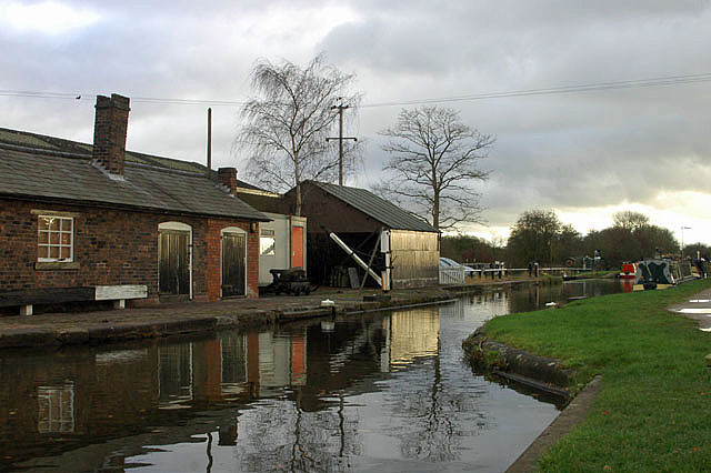
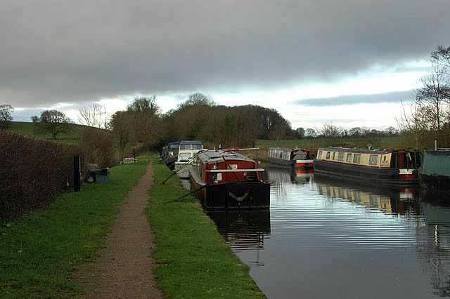
Norbury Junction (grid reference SJ793228) is a hamlet and former canal junction which lies about 1 mile (1.6 km) to the south east of Norbury, in Staffordshire...

Loynton

Loynton is a hamlet on the A519 near the villages of Norbury, and Woodseaves in Staffordshire, England. It lies in the civil parish of Norbury. Loynton...

Loynton Moss

Loynton Moss is a nature reserve of the Staffordshire Wildlife Trust, near the village of Woodseaves, in Staffordshire, England. It is adjacent to the...

Aqualate Mere

Aqualate Mere, in Staffordshire, is the largest natural lake in the English Midlands and is managed as a national nature reserve (NNR) by Natural England...

Back Brook, English Midlands

The Back Brook is a minor watercourse in the English counties of Shropshire and Staffordshire, in places forming the boundary between the two, and located...

Woodseaves

Woodseaves is a village in Staffordshire, England. It lies in the civil parish of High Offley and is situated on the A519 (Newport-Newcastle-under-Lyme...

Nearby Amenities

Located within 500m of 52.803013,-2.3209436
Barrier: stile
Lat/Long: 52.8073057/-2.3198737
Barrier: stile
Lat/Long: 52.8066113/-2.3202903
The data included in this document is from www.openstreetmap.org. The data is made available under ODbL.

Have you been to Knight's Plantation?

Leave your review of Knight's Plantation below (or comments, questions and feedback).