Hatchwell's Covert

Wood, Forest in Staffordshire Stafford

England

Hatchwell's Covert

Coley Mill Farm Converted vernacular farm building at Coley Mill Farm
Coley Mill Farm Credit: P Gaskell

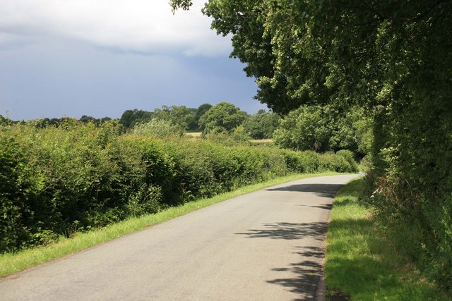
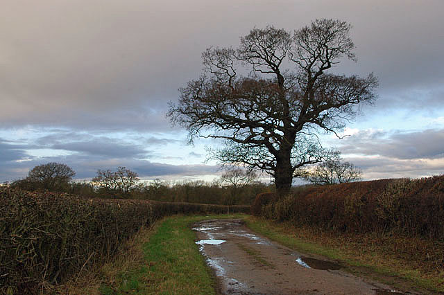
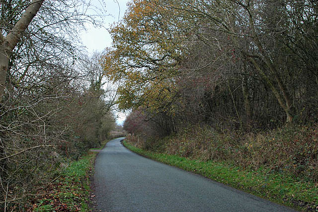
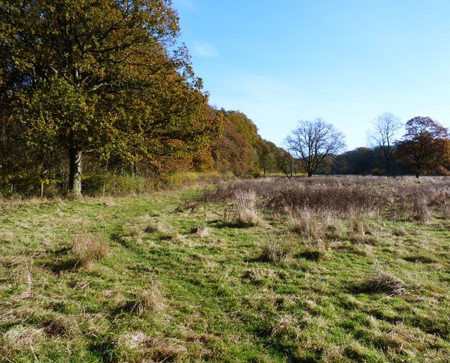
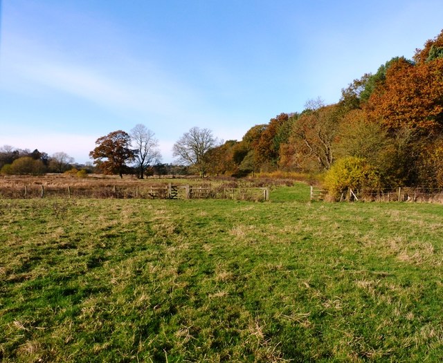
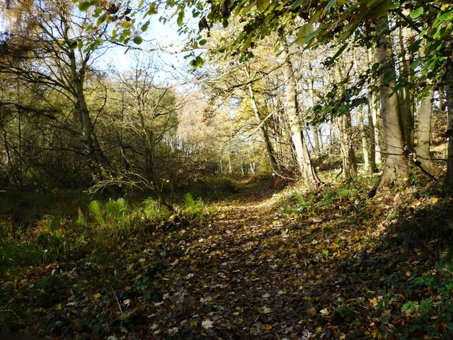
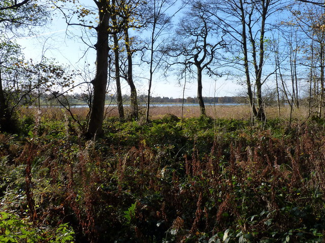
Hatchwell's Covert is a picturesque woodland located in the county of Staffordshire, England. Nestled in the heart of the countryside, this tranquil forest covers an area of approximately 200 acres, providing a haven for wildlife and nature enthusiasts alike.

The woodland is predominantly made up of mature oak and beech trees, creating a dense canopy that filters sunlight and gives the forest a rich, green hue throughout the year. A diverse range of plant species can be found here, including bluebells, wild garlic, and wood sorrel, which carpet the forest floor during the spring months.

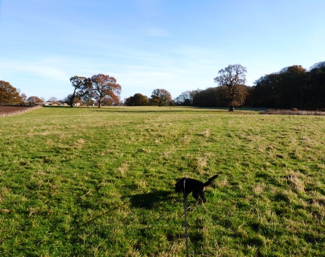
Hatchwell's Covert is home to a variety of wildlife, making it an ideal spot for wildlife observation and photography. Visitors can expect to encounter an array of bird species, such as woodpeckers, owls, and warblers, as well as small mammals like badgers, foxes, and squirrels. The more elusive deer, including roe deer and muntjac, can also be spotted roaming the woodland.

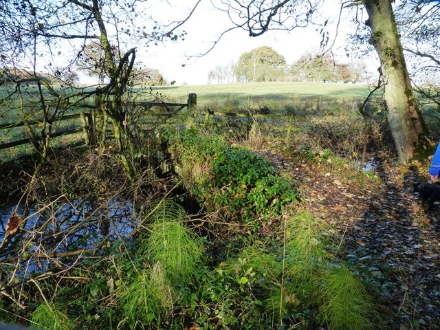
The forest offers several walking trails and footpaths, allowing visitors to explore its beauty at their own pace. Along these trails, visitors may stumble upon hidden ponds, babbling brooks, and ancient trees, adding to the enchanting atmosphere of the woodland.

Hatchwell's Covert is a popular destination for nature lovers, walkers, and those seeking a peaceful retreat from the hustle and bustle of everyday life. Its natural beauty, diverse wildlife, and serene ambiance make it a must-visit destination for anyone looking to immerse themselves in the wonders of Staffordshire's woodlands.

If you have any feedback on the listing, please let us know in the comments section below.

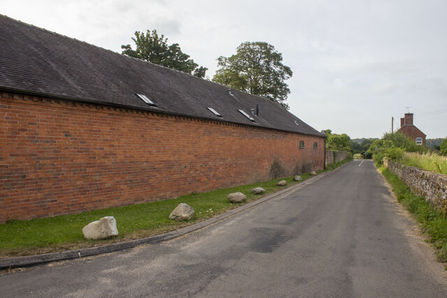
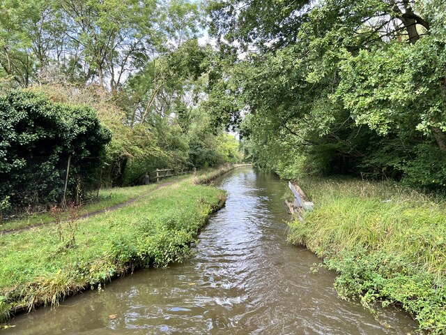
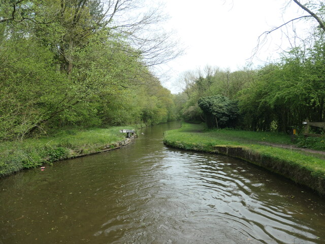
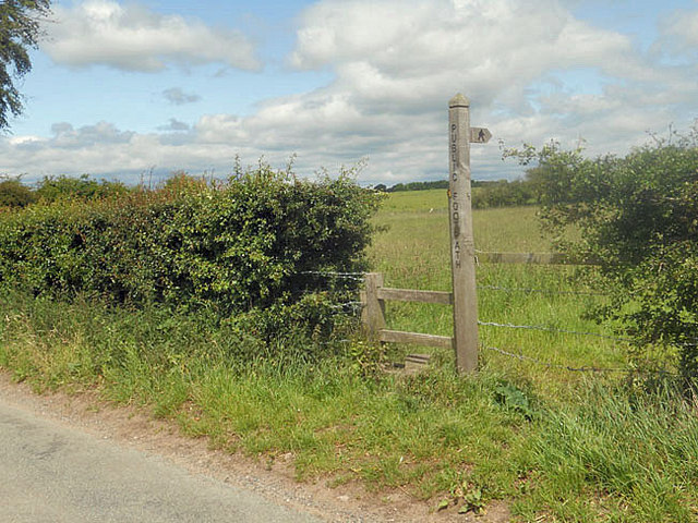
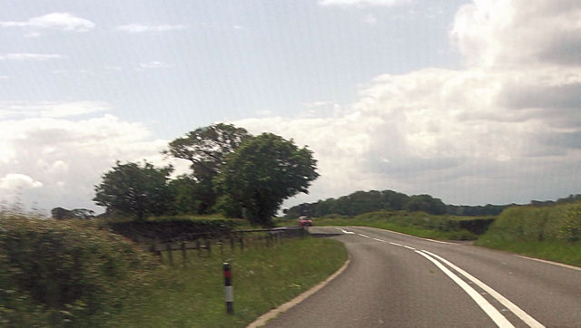
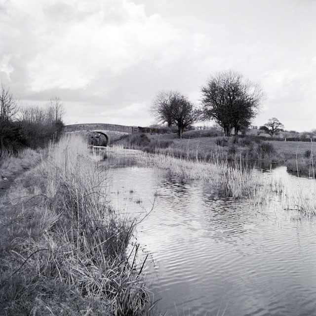
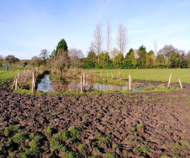
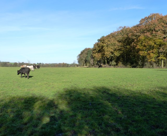
Hatchwell's Covert Images

Images are sourced within 2km of 52.787848/-2.3209357 or Grid Reference SJ7821. Thanks to Geograph Open Source API. All images are credited.

Coley Mill Farm Converted vernacular farm building at Coley Mill Farm
Coley Mill Farm
Converted vernacular farm building at Coley Mill Farm
Shropshire Union Canal In Shelmore Wood.
Shropshire Union Canal
In Shelmore Wood.
Stop gate, south end of Shelmore embankment If the embankment was breached, the flow of water would pull the gate shut. This stops a much longer stretch of the canal from emptying and reduces the size of the flood below the breach.
Stop gate, south end of Shelmore embankment
If the embankment was breached, the flow of water would pull the gate shut. This stops a much longer stretch of the canal from emptying and reduces the size of the flood below the breach.
Sign and stile to a public footpath
Norbury Road sunshine and cloud Sunlight highlights the hedge while black clouds beyond bring heavy showers to some.
Norbury Road sunshine and cloud
Sunlight highlights the hedge while black clouds beyond bring heavy showers to some.
Bridleway to Pollymoor Farm
Lane to Norbury
Lane to Norbury
Workshops at Norbury Junction
Pollymoor Farm junction from A518
Blacklane Bridge, Newport Branch, Shropshire Union Canal, 1965 In 1965 this abandoned canal looked as if only a little work could restore it. Sadly this is far from the case now. The bushes and mound on the right must have been bulldozed into the canal which is now level with the fields, and the lock beyond the bridge has gone, although the bridge survives, apparently in good condition. This was bridge 5 on the branch, and oddly carries Cliffs Lane, not Black Lane.
Blacklane Bridge, Newport Branch, Shropshire Union Canal, 1965
In 1965 this abandoned canal looked as if only a little work could restore it. Sadly this is far from the case now. The bushes and mound on the right must have been bulldozed into the canal which is now level with the fields, and the lock beyond the bridge has gone, although the bridge survives, apparently in good condition. This was bridge 5 on the branch, and oddly carries Cliffs Lane, not Black Lane.
There's no avoiding it... Try as we might (and Daft Dog didn't try very hard), walking through here on the bridleway means that you're going to get filthy. All good fun.
There's no avoiding it...
Try as we might (and Daft Dog didn't try very hard), walking through here on the bridleway means that you're going to get filthy. All good fun.
The west side of Thistleyfield Covert These cattle are responsible for some fine muddy stretches in the field to the left, but this end of it seemed rather more grassy.
The west side of Thistleyfield Covert
These cattle are responsible for some fine muddy stretches in the field to the left, but this end of it seemed rather more grassy.
Bridleway on the south side of Thistleyfield Covert This area borders part of the Aqualate Mere National Nature Reserve, which surrounds the mere itself. It's leased from the estate by Natural England, and has a network of bridleways providing access around the reserve.
Bridleway on the south side of Thistleyfield Covert
This area borders part of the Aqualate Mere National Nature Reserve, which surrounds the mere itself. It's leased from the estate by Natural England, and has a network of bridleways providing access around the reserve.
Bridleway heading towards Aqualate Mere Daft Dog remains on the lead, as the next field holds a flock of sheep that he's not yet spotted.
Bridleway heading towards Aqualate Mere
Daft Dog remains on the lead, as the next field holds a flock of sheep that he's not yet spotted.
Bridleway alongside Thistleyfield Covert A good bridleway runs right along the south side of the wood, fairly firm underfoot/tyre/hoof. The same cannot be said of the same bridleway further west approaching Forton, which is a proper mud-fest in places at this time of year.
Bridleway alongside Thistleyfield Covert
A good bridleway runs right along the south side of the wood, fairly firm underfoot/tyre/hoof. The same cannot be said of the same bridleway further west approaching Forton, which is a proper mud-fest in places at this time of year.
Bridleway bridge near New Guild Although barely visible due to the undergrowth, and the fact that much of it has been washed out & collapsed, a traditional arched packhorse bridge crosses this tiny stream.
Bridleway bridge near New Guild
Although barely visible due to the undergrowth, and the fact that much of it has been washed out & collapsed, a traditional arched packhorse bridge crosses this tiny stream.
Bridleway through the woods This woodland floor is a riot of bluebells in the spring.
Bridleway through the woods
This woodland floor is a riot of bluebells in the spring.
Aqualate Mere Or, rather more accurately, a distant view of the mere. From the north side, it's actually quite hard to get to, as the mere is very shallow generally, and the shore is marshy for a long way out. So it's a case of wade, or put up with a distant view.
The mere itself is an Ice Age relic, a large kettle hole that formed when a remnant piece of the glacial icesheet remained embedded in the till, melting more slowly than the surrounding glacier. When it finally disappeared, it left a depression in the land which has been filled with water ever since.
Aqualate Mere
Or, rather more accurately, a distant view of the mere. From the north side, it's actually quite hard to get to, as the mere is very shallow generally, and the shore is marshy for a long way out. So it's a case of wade, or put up with a distant view. The mere itself is an Ice Age relic, a large kettle hole that formed when a remnant piece of the glacial icesheet remained embedded in the till, melting more slowly than the surrounding glacier. When it finally disappeared, it left a depression in the land which has been filled with water ever since.
Show me another place!

Hatchwell's Covert is located at Grid Ref: SJ7821 (Lat: 52.787848, Lng: -2.3209357)

Administrative County: Staffordshire

District: Stafford

Police Authority: Staffordshire

What 3 Words

///packages.releasing.clutches. Near Newport, Shropshire

Related Wikis

Back Brook, English Midlands

The Back Brook is a minor watercourse in the English counties of Shropshire and Staffordshire, in places forming the boundary between the two, and located...

Aqualate Mere

Aqualate Mere, in Staffordshire, is the largest natural lake in the English Midlands and is managed as a national nature reserve (NNR) by Natural England...

Gnosall Rural District

Gnosall was a rural district in Staffordshire, England from 1894 to 1934. It was formed under the Local Government Act 1894 from that part of the Newport...

Aqualate Hall

Aqualate Hall, a 20th-century country house, is located in Forton, Staffordshire, England, some 2 miles (3.2 km) east of the market town of Newport, Shropshire...

Norbury Junction

Norbury Junction (grid reference SJ793228) is a hamlet and former canal junction which lies about 1 mile (1.6 km) to the south east of Norbury, in Staffordshire...

Norbury, Staffordshire

Norbury is a village and civil parish in the Borough of Stafford, in west Staffordshire, England. The population as taken at the 2011 census was 371.It...

Forton Hall

Forton Hall is a 17th-century country house situated in the village of Forton, Staffordshire, close to the Shropshire border at Newport. It is a Grade...

Coton, Staffordshire

Coton is a hamlet in the English county of Staffordshire.It lies on the A518 road some two miles west of Gnosall. == See also == Listed buildings in Gnosall...

Have you been to Hatchwell's Covert?

Leave your review of Hatchwell's Covert below (or comments, questions and feedback).