Easton
Settlement in Devon South Hams
England
Easton
Easton is a small village located in the county of Devon, in southwest England. Situated approximately 12 miles north of Exeter, it is part of the East Devon district. The village is nestled within the picturesque countryside, surrounded by rolling hills and green fields.
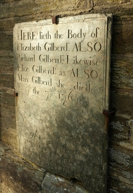
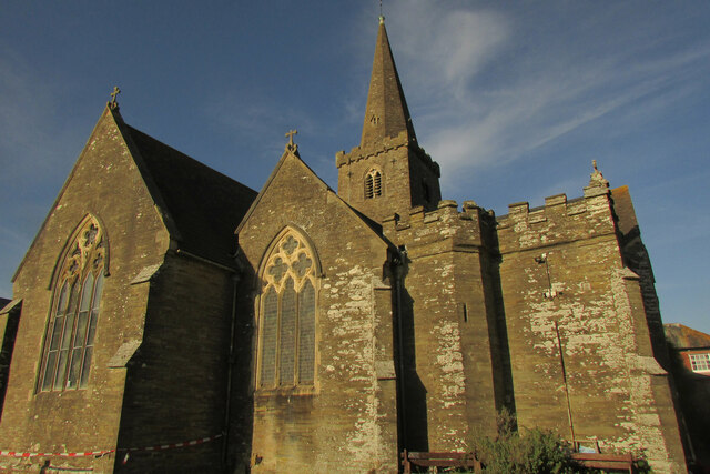
Easton has a rich history dating back to the medieval times, and this is evident in the village's architecture and landmarks. The village church, St. Leonard's, is a prominent feature and dates back to the 12th century, showcasing stunning Norman and Gothic architectural elements. The churchyard also houses several notable tombs and gravestones, providing a glimpse into the village's past.
Despite its small size, Easton boasts a strong sense of community and offers essential amenities to its residents. These include a village hall, a primary school, and a local pub, which serves as a popular meeting place for locals and visitors alike.
The surrounding area offers ample opportunities for outdoor activities and exploration. Easton is located near the River Otter, providing opportunities for fishing and boating. The nearby Blackdown Hills Area of Outstanding Natural Beauty is a haven for nature enthusiasts, offering beautiful walking trails and panoramic views.
While Easton may be a quiet and tranquil village, it benefits from its close proximity to larger towns and cities. Exeter, with its thriving city center, shopping facilities, and transport links, is easily accessible, providing residents with a range of additional amenities and employment opportunities.
Overall, Easton is a charming and historic village that offers a peaceful and idyllic lifestyle for its residents, with the added benefit of being close to larger urban areas.
If you have any feedback on the listing, please let us know in the comments section below.
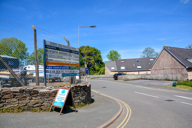
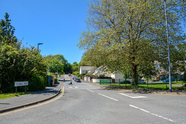
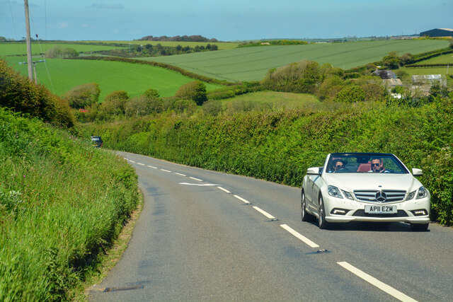
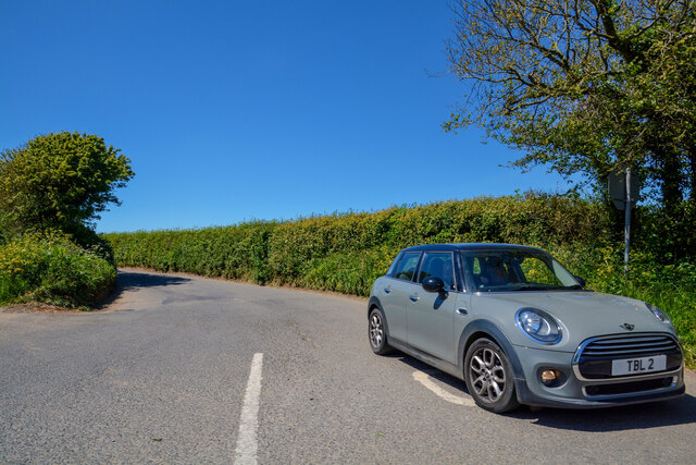
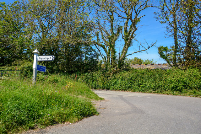
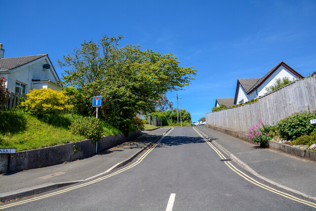
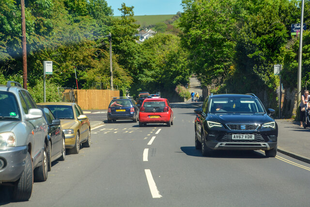
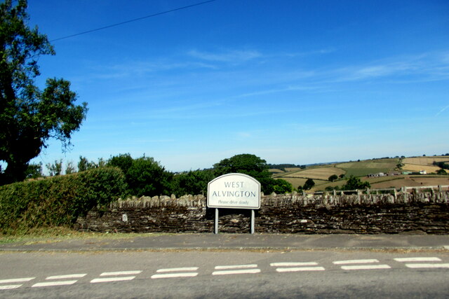
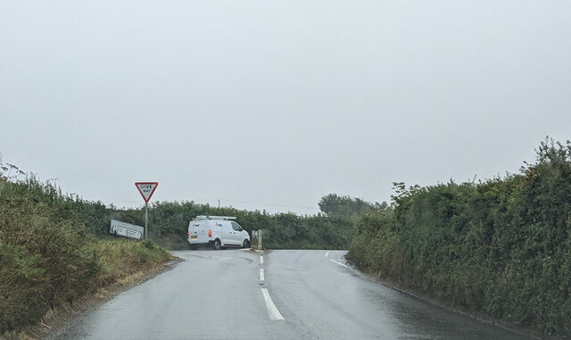
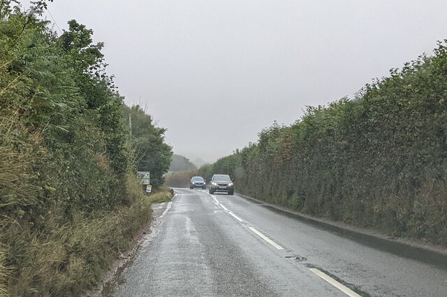
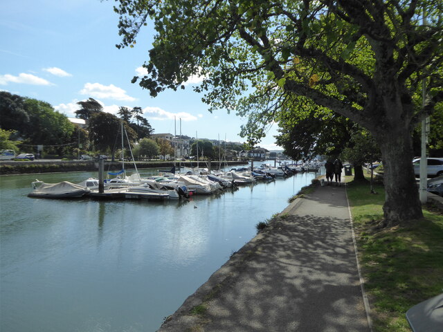
Easton Images
Images are sourced within 2km of 50.271131/-3.7895374 or Grid Reference SX7242. Thanks to Geograph Open Source API. All images are credited.
Easton is located at Grid Ref: SX7242 (Lat: 50.271131, Lng: -3.7895374)
Administrative County: Devon
District: South Hams
Police Authority: Devon and Cornwall
What 3 Words
///mixed.financial.hazy. Near Kingsbridge, Devon
Nearby Locations
Related Wikis

Kingsbridge Community College
Kingsbridge Community College is a co-educational secondary school and sixth form with academy status, located in Kingsbridge in the English county of...

Kingsbridge railway station (England)
Kingsbridge railway station was the terminus station of the single track branch GWR line from Brent to the town of Kingsbridge. == History == The station...

Kingsbridge
Kingsbridge is a market town in the South Hams district of Devon, England, with a population of 6,116 at the 2011 census. Two electoral wards bear the...
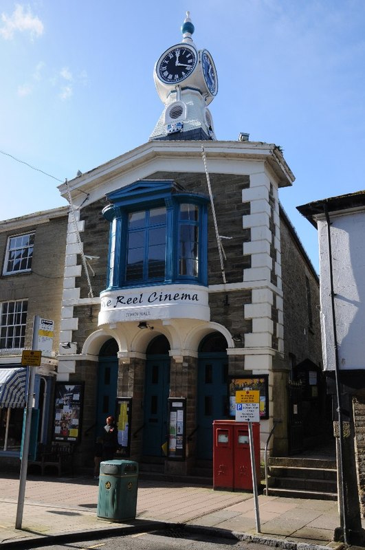
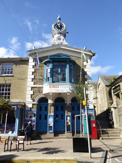
Kingsbridge Town Hall
Kingsbridge Town Hall is a municipal building in Fore Street, Kingsbridge, Devon, England. The town hall, which is currently used as a cinema, is a Grade...
Nearby Amenities
Located within 500m of 50.271131,-3.7895374Have you been to Easton?
Leave your review of Easton below (or comments, questions and feedback).