Easton
Settlement in Yorkshire
England
Easton

Easton is a small village located in the East Riding of Yorkshire, England. Situated approximately 10 miles east of the city of York, it is nestled in the beautiful countryside of the Vale of York. The village is positioned close to the A1079 road, providing convenient transportation links to nearby towns and cities.
With a population of around 500 residents, Easton exudes a quaint and peaceful atmosphere. The village is known for its picturesque landscapes, featuring rolling green fields, meandering rivers, and charming cottages. The surrounding countryside offers ample opportunities for outdoor activities such as walking, hiking, and cycling.
Easton is home to a close-knit community that values its rural heritage. The village has a small primary school, providing education for local children, and a traditional parish church that dates back to the 12th century. The church, dedicated to St Mary, is a notable architectural gem with its Norman-style tower and intricate stained glass windows.
Although Easton is a predominantly residential area, there are some local amenities that cater to the community's needs. The village boasts a cozy pub that serves as a social hub for residents and visitors alike. Additionally, a few shops and amenities can be found in the neighboring villages, ensuring basic necessities are easily accessible.
Overall, Easton offers a tranquil and idyllic setting for those seeking a peaceful rural lifestyle. Its proximity to larger towns and cities allows for a balance between a quiet countryside retreat and access to urban amenities.
If you have any feedback on the listing, please let us know in the comments section below.
Easton Images
Images are sourced within 2km of 54.095432/-0.24085083 or Grid Reference TA1568. Thanks to Geograph Open Source API. All images are credited.


Easton is located at Grid Ref: TA1568 (Lat: 54.095432, Lng: -0.24085083)
Division: East Riding
Unitary Authority: East Riding of Yorkshire
Police Authority: Humberside
What 3 Words
///circle.goes.toward. Near Boynton, East Yorkshire
Nearby Locations
Related Wikis

Boynton Hall
Boynton Hall is a country house in the village of Boynton near Bridlington, East Riding of Yorkshire, England. It is a Grade I listed building.Originally...

Boynton, East Riding of Yorkshire
Boynton is a village and civil parish in the East Riding of Yorkshire, England. It is situated approximately 3 miles (5 km) west of the town of Bridlington...

Bridlington Hospital
Bridlington Hospital is a health facility in Bessingby Road, Bridlington, East Riding of Yorkshire, England. It is managed by York and Scarborough Teaching...

Avenue Hospital
Avenue Hospital was a health facility in Westgate, Bridlington, East Riding of Yorkshire, England. The remaining structure is a Grade II* listed building...

Bridlington School
Bridlington School is a secondary school and sixth form located on Bessingby Road (A165), in Bridlington in the East Riding of Yorkshire, England. ��2...

Bessingby
Bessingby is a village and former civil parish, now in the parish of Bridlington, in the East Riding of Yorkshire, England. It lies immediately south-east...

Bridlington Rural District
Bridlington was a rural district in the East Riding of Yorkshire in England from 1894 to 1974. It covered a coastal area, and surrounded the municipal...
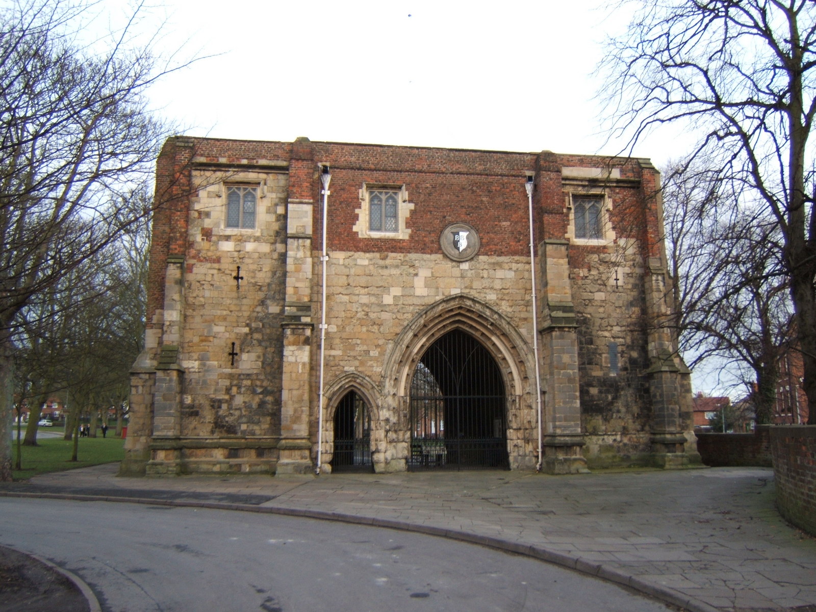
Bayle Museum
The Bayle Museum is a local museum located in Bridlington, England.The building it occupies, Bayle Gate (akak The Bayle) was constructed in the 1100s...
Nearby Amenities
Located within 500m of 54.095432,-0.24085083Have you been to Easton?
Leave your review of Easton below (or comments, questions and feedback).