Easton Bavents
Settlement in Suffolk East Suffolk
England
Easton Bavents
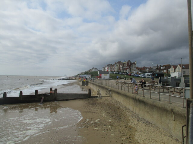
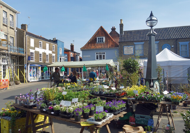
Easton Bavents is a small coastal village located in the county of Suffolk, England. Situated on the eastern coast, it lies approximately 3 miles south of the popular seaside town of Southwold. The village is nestled between the rolling countryside and the North Sea, offering picturesque views and a tranquil atmosphere.
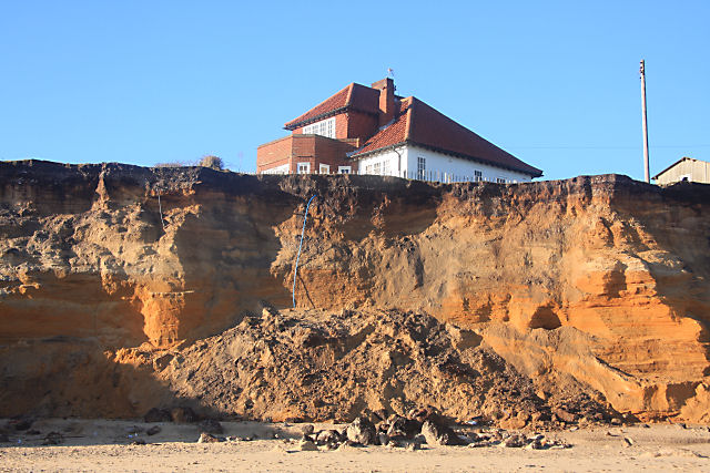
Easton Bavents is renowned for its ever-changing coastline, which has been subject to significant erosion over the years. The village is particularly vulnerable to coastal erosion due to its position on a stretch of soft clay and sand cliffs. As a result, many of the original houses and structures have been lost to the sea, with some even falling into the ocean.
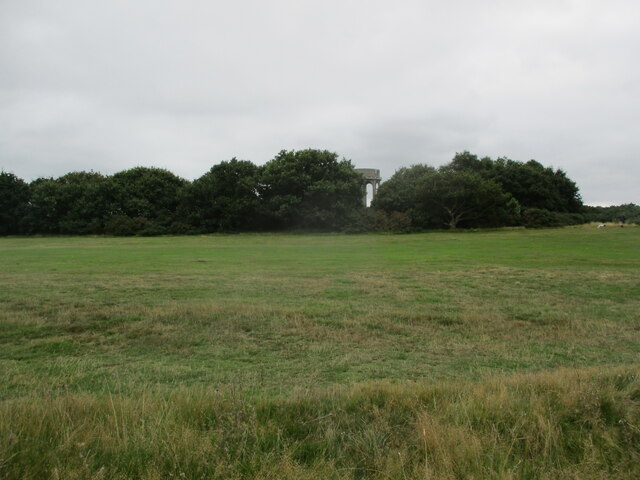
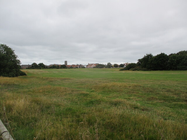
Despite the constant threat of erosion, Easton Bavents remains a charming and scenic destination. The village attracts visitors who appreciate the beauty of the Suffolk coastline, as well as those interested in the geological processes at work. Its unique position provides opportunities for coastal walks, birdwatching, and exploring the surrounding countryside.
The village is relatively small, with a close-knit community and a few residential properties scattered along the coastal road. There are no commercial establishments or tourist facilities within the village itself, but nearby Southwold offers a range of amenities including shops, restaurants, and accommodation options.
Easton Bavents is an intriguing destination that showcases the dynamic nature of the British coastline, making it a fascinating place to visit for nature enthusiasts and those interested in the ever-changing landscape.
If you have any feedback on the listing, please let us know in the comments section below.
Easton Bavents Images
Images are sourced within 2km of 52.34019/1.6859145 or Grid Reference TM5177. Thanks to Geograph Open Source API. All images are credited.


Easton Bavents is located at Grid Ref: TM5177 (Lat: 52.34019, Lng: 1.6859145)
Administrative County: Suffolk
District: East Suffolk
Police Authority: Suffolk
What 3 Words
///plantings.bulges.relax. Near Southwold, Suffolk
Nearby Locations
Related Wikis
Easton Bavents
Easton Bavents is a hamlet and former civil parish, now in the parish of Reydon, in the East Suffolk district of the county of Suffolk, England. Once an...

Reydon
Reydon is a village and civil parish, 1.0 mile (1.6 km) north-west of Southwold and 2.5 miles (4.0 km) south-east of Wangford, in the East Suffolk district...

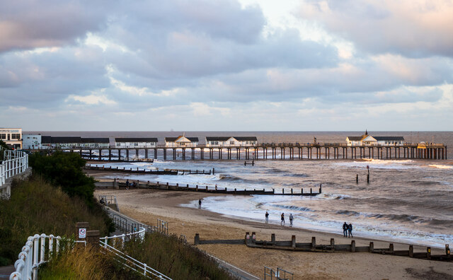
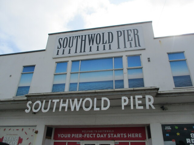
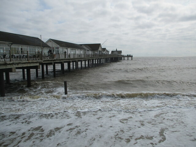
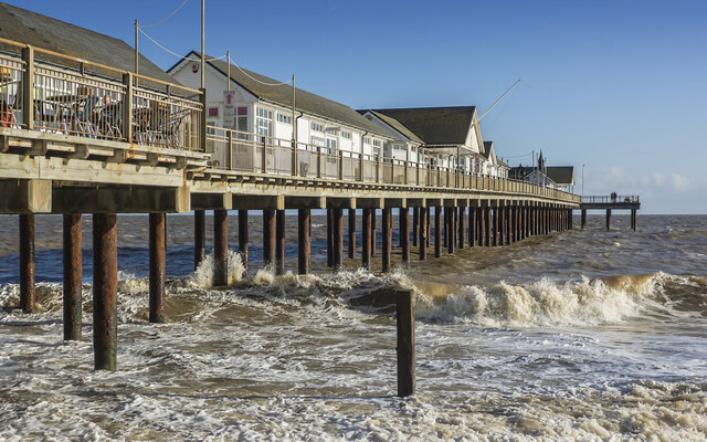
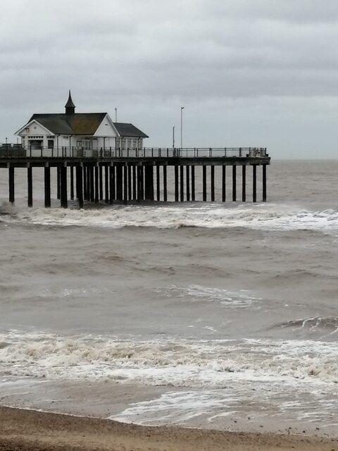
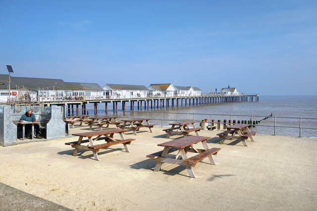
Southwold Pier
Southwold Pier is a pier in the coastal town of Southwold in the English county of Suffolk. It is on the northern edge of the town and extends 190 metres...

Southwold railway station
Southwold railway station was located in Southwold, Suffolk. It closed in 1929, 50 years after it had opened for passenger traffic. The station was demolished...

St Edmund's Church, Southwold
St Edmund's Church, Southwold is a Grade I listed parish church in the Church of England in Southwold, Suffolk. == History == The parish church of Southwold...

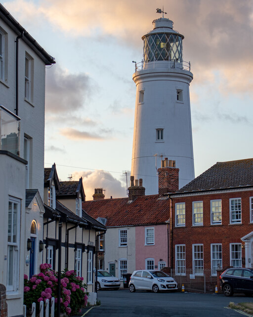
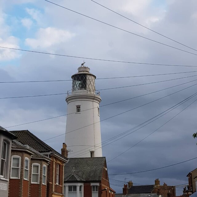
Southwold Lighthouse
Southwold Lighthouse is a lighthouse operated by Trinity House in the centre of Southwold in Suffolk, England. It stands on the North Sea coast, acting...
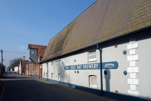
Adnams
Adnams is a regional brewery founded in 1872 in Southwold, Suffolk, England, by George and Ernest Adnams. It produces cask ale and bottled beers. Annual...
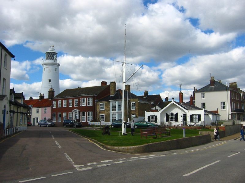
Southwold
Southwold is a seaside town on the North Sea in Suffolk, England. It lies at the mouth of the River Blyth in the Suffolk Coast and Heaths Area of Outstanding...
Nearby Amenities
Located within 500m of 52.34019,1.6859145Have you been to Easton Bavents?
Leave your review of Easton Bavents below (or comments, questions and feedback).