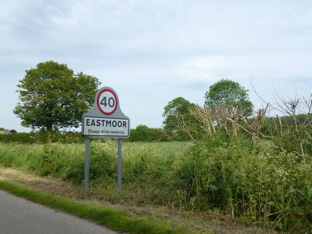
Eastmoor
Settlement in Norfolk King's Lynn and West Norfolk
England
Eastmoor

Eastmoor is a small village located in the county of Norfolk, in the East of England. Situated approximately 20 miles northwest of Norwich and 10 miles south of the market town of Fakenham, Eastmoor is surrounded by picturesque countryside and offers a quiet and rural living experience.
The village itself is characterized by its charming traditional cottages and farmland, which contribute to a tranquil and idyllic atmosphere. The local community consists of a small population, fostering a close-knit and friendly environment where residents often engage in social activities and events.
Despite its small size, Eastmoor benefits from a range of amenities. The village is home to a primary school, providing education for local children, and a historic church, St. Mary's, which dates back to the 14th century. Additionally, there is a village hall that hosts various community gatherings and functions.
Eastmoor's location within Norfolk allows residents to easily access the surrounding areas. The nearby market town of Fakenham offers a wider range of services and facilities, including supermarkets, shops, restaurants, and a leisure center. The city of Norwich, with its extensive shopping, cultural attractions, and transport links, is within a reasonable distance for those seeking a city experience.
Overall, Eastmoor offers a peaceful and close community living experience in a picturesque rural setting, making it an attractive place for those seeking a quieter lifestyle.
If you have any feedback on the listing, please let us know in the comments section below.
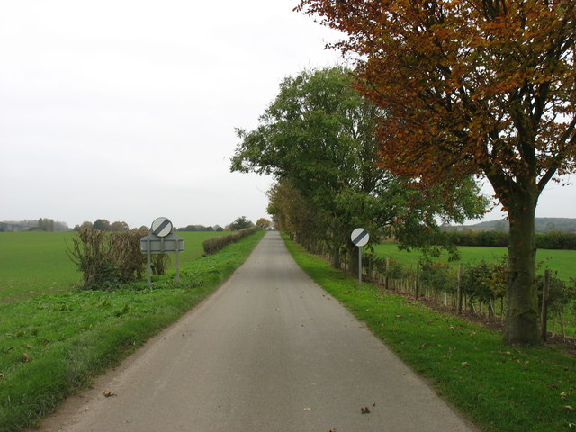
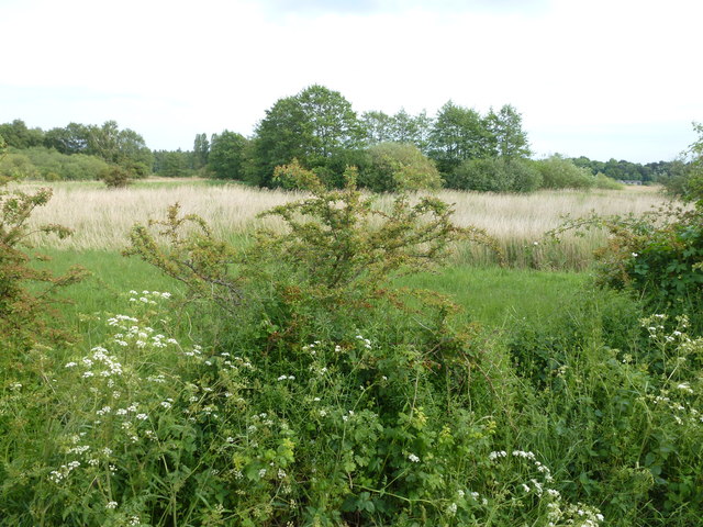
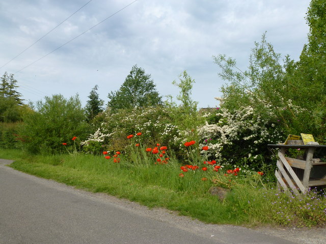
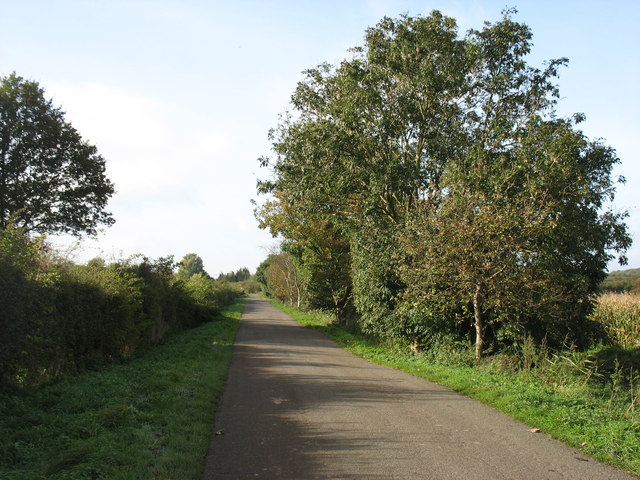
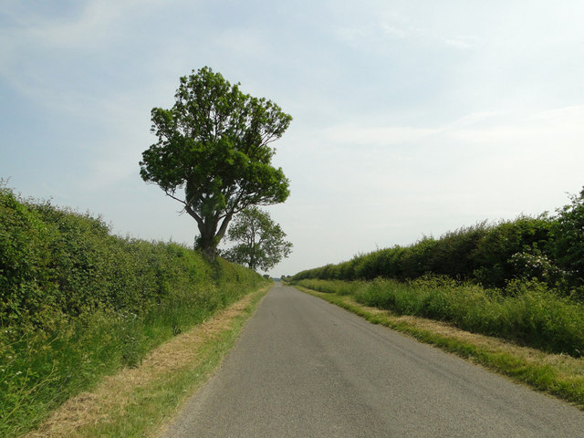
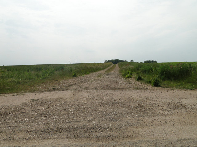
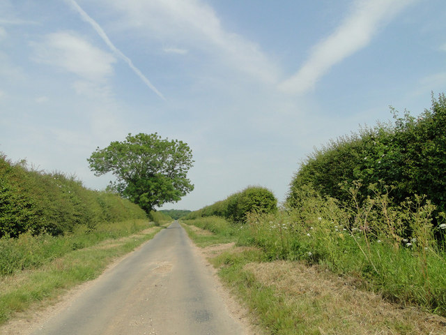
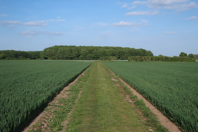
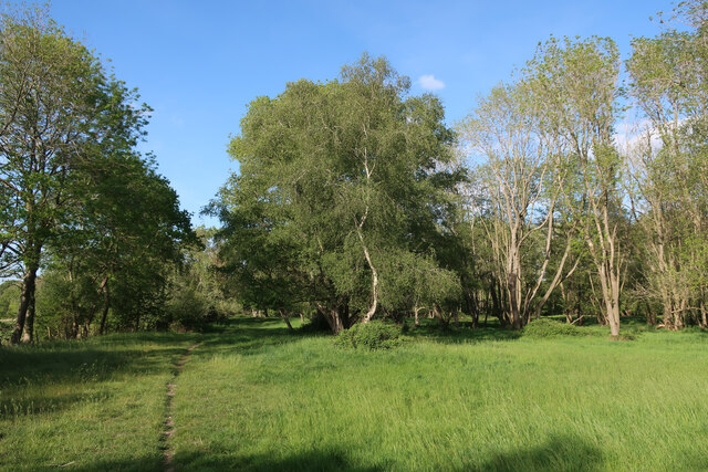
Eastmoor Images
Images are sourced within 2km of 52.59966/0.55502974 or Grid Reference TF7303. Thanks to Geograph Open Source API. All images are credited.


Eastmoor is located at Grid Ref: TF7303 (Lat: 52.59966, Lng: 0.55502974)
Administrative County: Norfolk
District: King's Lynn and West Norfolk
Police Authority: Norfolk
What 3 Words
///makes.ditched.strongman. Near Stoke Ferry, Norfolk
Nearby Locations
Related Wikis

RAF Barton Bendish
RAF Barton Bendish was an airfield for the Royal Air Force located on the far side of the Downham Market to Swaffham road from its parent station, RAF...

Oxborough
Oxborough is a village and civil parish in the English county of Norfolk, well known for its church and manor house Oxburgh Hall. It covers an area of...
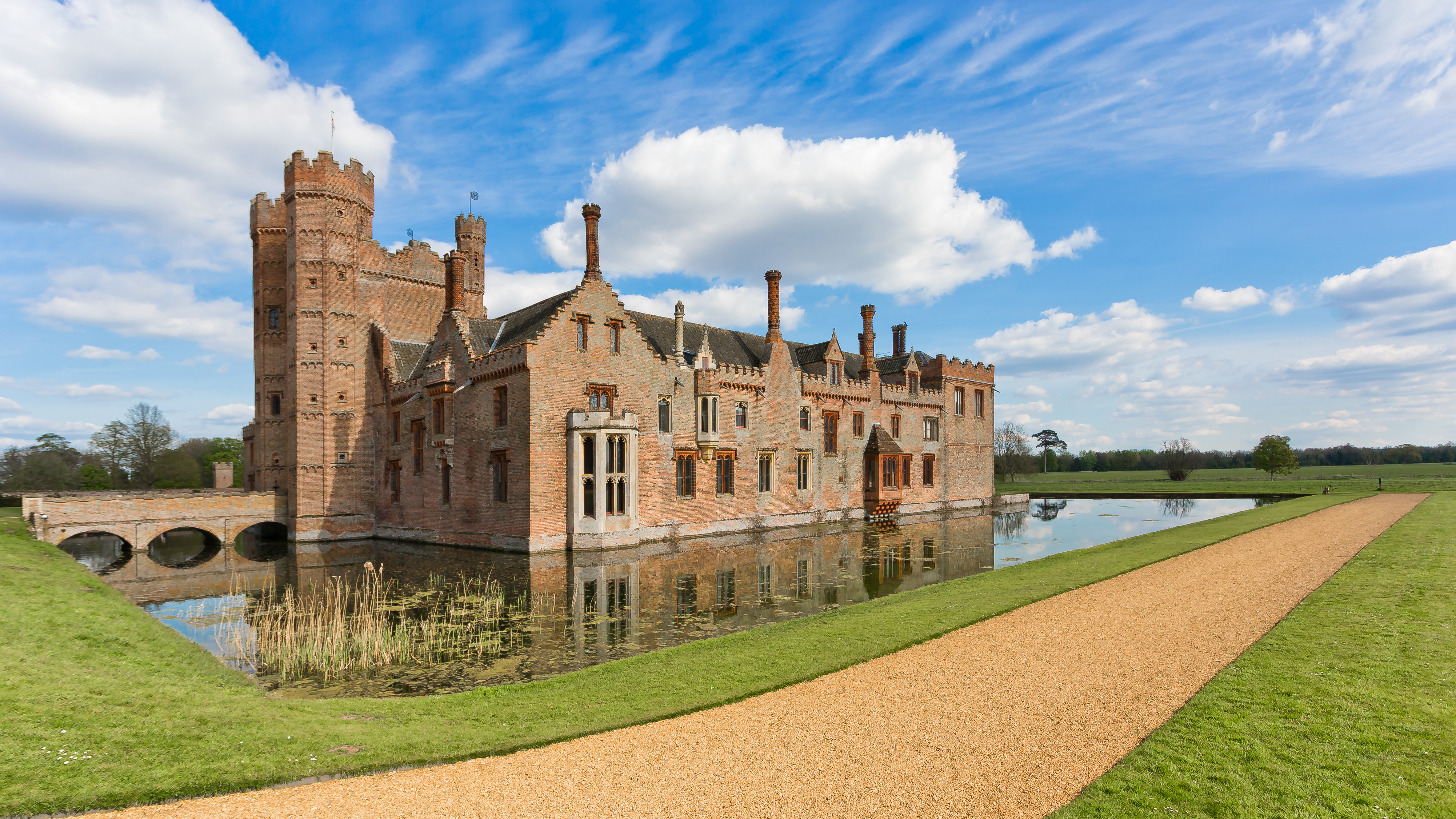
Oxburgh Hall
Oxburgh Hall is a moated country house in Oxborough, Norfolk, England. The hall was built for Sir Edmund Bedingfeld who obtained a licence to crenellate...

Boughton Fen
Boughton Fen is a 15.7-hectare (39-acre) biological Site of Special Scientific Interest east of Downham Market in Norfolk. it is common land registered...
Nearby Amenities
Located within 500m of 52.59966,0.55502974Have you been to Eastmoor?
Leave your review of Eastmoor below (or comments, questions and feedback).