Beachamwell Fen

Downs, Moorland in Norfolk Breckland

England

Beachamwell Fen

Farm track east of Caldecote Farm
Farm track east of Caldecote Farm Credit: Kim Fyson

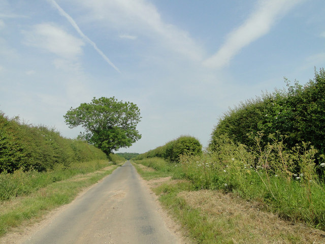
Beachamwell Fen is a captivating nature reserve located in the county of Norfolk, England. Spanning across vast acres of land, this enchanting fen is nestled within the idyllic village of Beachamwell. The fen is part of the Brecks region, a unique landscape characterized by dry heath and sandy soils.

This remarkable fenland is a haven for wildlife enthusiasts and nature lovers alike. The reserve boasts a diverse range of habitats, including wetlands, woodland, and open grassland. The wetland areas are adorned with a plethora of reed beds, providing a sanctuary for various species of birds, including bitterns, marsh harriers, and bearded tits. Additionally, the fen is home to an array of dragonflies and butterflies, adding vibrant splashes of color to the landscape.

The fen also hosts a remarkable variety of plant species, such as the rare fen orchid and marsh pea. These delicate flora create a beautiful tapestry of colors and scents, particularly during the spring and summer months.

Visitors to Beachamwell Fen can explore the reserve via a network of well-maintained footpaths and boardwalks. These paths lead visitors through the diverse habitats, offering glimpses of the abundant wildlife and allowing for peaceful moments of reflection in the tranquil surroundings.

To ensure the preservation of this remarkable fenland, conservation efforts are in place, including regular monitoring of the wildlife populations and restoration of degraded habitats. The reserve also offers educational programs and guided tours to raise awareness about the importance of protecting and preserving this precious ecosystem.

In conclusion, Beachamwell Fen is a captivating nature reserve in Norfolk, offering a unique blend of wetlands, woodlands, and open grasslands. With its abundant wildlife and stunning array of plant species, it is a must-visit destination for nature enthusiasts seeking to immerse themselves in the beauty of Norfolk's natural landscapes.

If you have any feedback on the listing, please let us know in the comments section below.

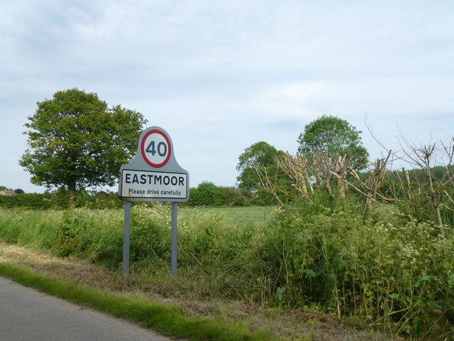
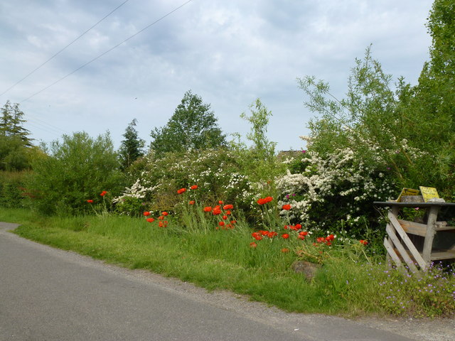
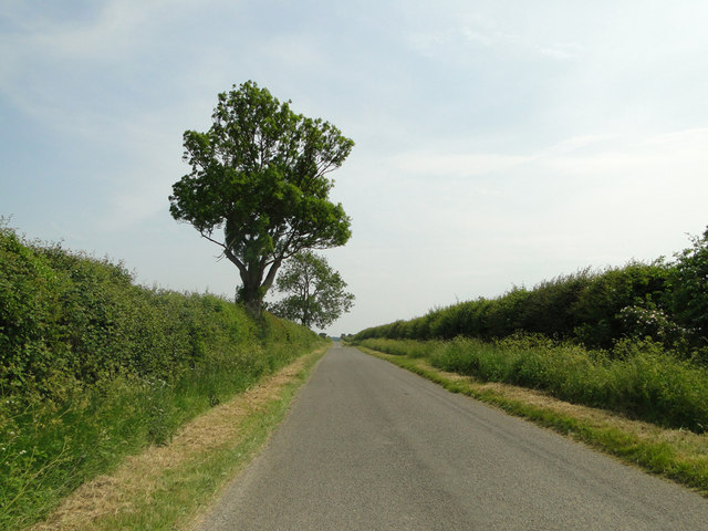
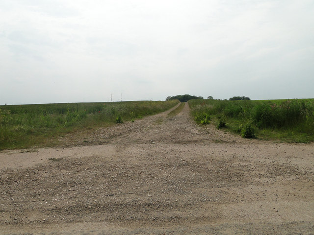
Beachamwell Fen Images

Images are sourced within 2km of 52.604826/0.56685098 or Grid Reference TF7303. Thanks to Geograph Open Source API. All images are credited.

Farm track east of Caldecote Farm
Farmland near Oxborough Looking towards Caldecote Wood.
Farmland near Oxborough
Looking towards Caldecote Wood.
The Eastmoor Road Approaching Eastmoor Bridge, about 250 metres ahead.
The Eastmoor Road
Approaching Eastmoor Bridge, about 250 metres ahead.
The ruin of St. John's church Beachamwell This church became redundant and the living united with All Saints in the first year of the reign of Elizabeth I (1558), like hundreds of other churches at that time. The structure dates back to the 14th c. although an earlier church may have stood on this site from before Domesday. It is believed that the stone was robbed out and cottages constructed nearby or even within the ruin. Nearby St John’s farm may contain much of the material from the site. The outline of the nave can just be ascertained by the raised area to the east of the substantial remains of the tower, parts of the walls are still standing. Putlog holes are clearly visible in the walls of the tower. Today horses seek shelter from the varying degrees of weather and sheep and lambs graze the pasture. An idyllic setting in a beautiful and tranquil part of the Norfolk countryside.
The ruin of St. John's church Beachamwell
This church became redundant and the living united with All Saints in the first year of the reign of Elizabeth I (1558), like hundreds of other churches at that time. The structure dates back to the 14th c. although an earlier church may have stood on this site from before Domesday. It is believed that the stone was robbed out and cottages constructed nearby or even within the ruin. Nearby St John’s farm may contain much of the material from the site. The outline of the nave can just be ascertained by the raised area to the east of the substantial remains of the tower, parts of the walls are still standing. Putlog holes are clearly visible in the walls of the tower. Today horses seek shelter from the varying degrees of weather and sheep and lambs graze the pasture. An idyllic setting in a beautiful and tranquil part of the Norfolk countryside.
St. Mary's church Beachamwell An interesting and ancient church, built by the Saxons. Typical Saxon openings or windows can be seen on the north and west faces, while on the east and south faces are round headed and may have been replacements after the Conquest with the Norman influence, the octagonal upper stage is 14th c. Inside the nave a high east doorway is easily recognisable. A crow-stepped gable indicates the age of the porch to be about 15th c. A terrible Victorian excuse for a font is used while the far better octagonal one from All Saints stands neglected outside the porch. The unusual profile of the columns of the arcade are interesting, more so the graffiti written thereon in the 14th c. The Jacobean pulpit and reading desk are very good quality.  In the centre of the now extended south aisle is a nice cusped piscina.
St. Mary's church Beachamwell
An interesting and ancient church, built by the Saxons. Typical Saxon openings or windows can be seen on the north and west faces, while on the east and south faces are round headed and may have been replacements after the Conquest with the Norman influence, the octagonal upper stage is 14th c. Inside the nave a high east doorway is easily recognisable. A crow-stepped gable indicates the age of the porch to be about 15th c. A terrible Victorian excuse for a font is used while the far better octagonal one from All Saints stands neglected outside the porch. The unusual profile of the columns of the arcade are interesting, more so the graffiti written thereon in the 14th c. The Jacobean pulpit and reading desk are very good quality. In the centre of the now extended south aisle is a nice cusped piscina.
Entering Eastmoor near Chapel Barn
Roadside flowers in Eastmoor near Oxborough
Poppy in rapeseed On the edge of Eastmoor Road leading to Oxborough
Poppy in rapeseed
On the edge of Eastmoor Road leading to Oxborough
Eastmoor Road, south of Barton Bendish
Farm track to Field Barn off Eastmoor Road
Lines in the sky on Murgot's Lane
Beachamwell War Memorial The Memorial bears 12 names form WW1 and four from WW2.
Beachamwell War Memorial
The Memorial bears 12 names form WW1 and four from WW2.
St Mary's Church burnt out, Beachamwell See <a href="https://www.geograph.org.uk/photo/1269119">TF7505 : St Mary's church</a> for an earlier view of this church before the thatched roof and interior were lost to a fire in early February, see <span class="nowrap"><a title="https://www.bbc.co.uk/news/uk-england-norfolk-60232447" rel="nofollow ugc noopener" href="https://www.bbc.co.uk/news/uk-england-norfolk-60232447">Link</a><img style="margin-left:2px;" alt="External link" title="External link - shift click to open in new window" src="https://s1.geograph.org.uk/img/external.png" width="10" height="10"/></span>
St Mary's Church burnt out, Beachamwell
See TF7505 : St Mary's church for an earlier view of this church before the thatched roof and interior were lost to a fire in early February, see LinkExternal link
Track to Beachamwell
Field near Beachamwell
Crop boundary near Caldecote Farm No need for a hedge it seems.
Crop boundary near Caldecote Farm
No need for a hedge it seems.
Ditch by Old Carr An interesting area of wet woodland.
Ditch by Old Carr
An interesting area of wet woodland.
Field near Beachamwell
Show me another place!

Beachamwell Fen is located at Grid Ref: TF7303 (Lat: 52.604826, Lng: 0.56685098)

Administrative County: Norfolk

District: Breckland

Police Authority: Norfolk

What 3 Words

///gobbles.tonality.baffle. Near Stoke Ferry, Norfolk

Related Wikis

Have you been to Beachamwell Fen?

Leave your review of Beachamwell Fen below (or comments, questions and feedback).