Foxhole Heath
Downs, Moorland in Suffolk West Suffolk
England
Foxhole Heath

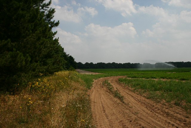
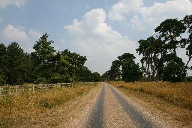
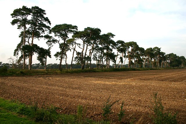
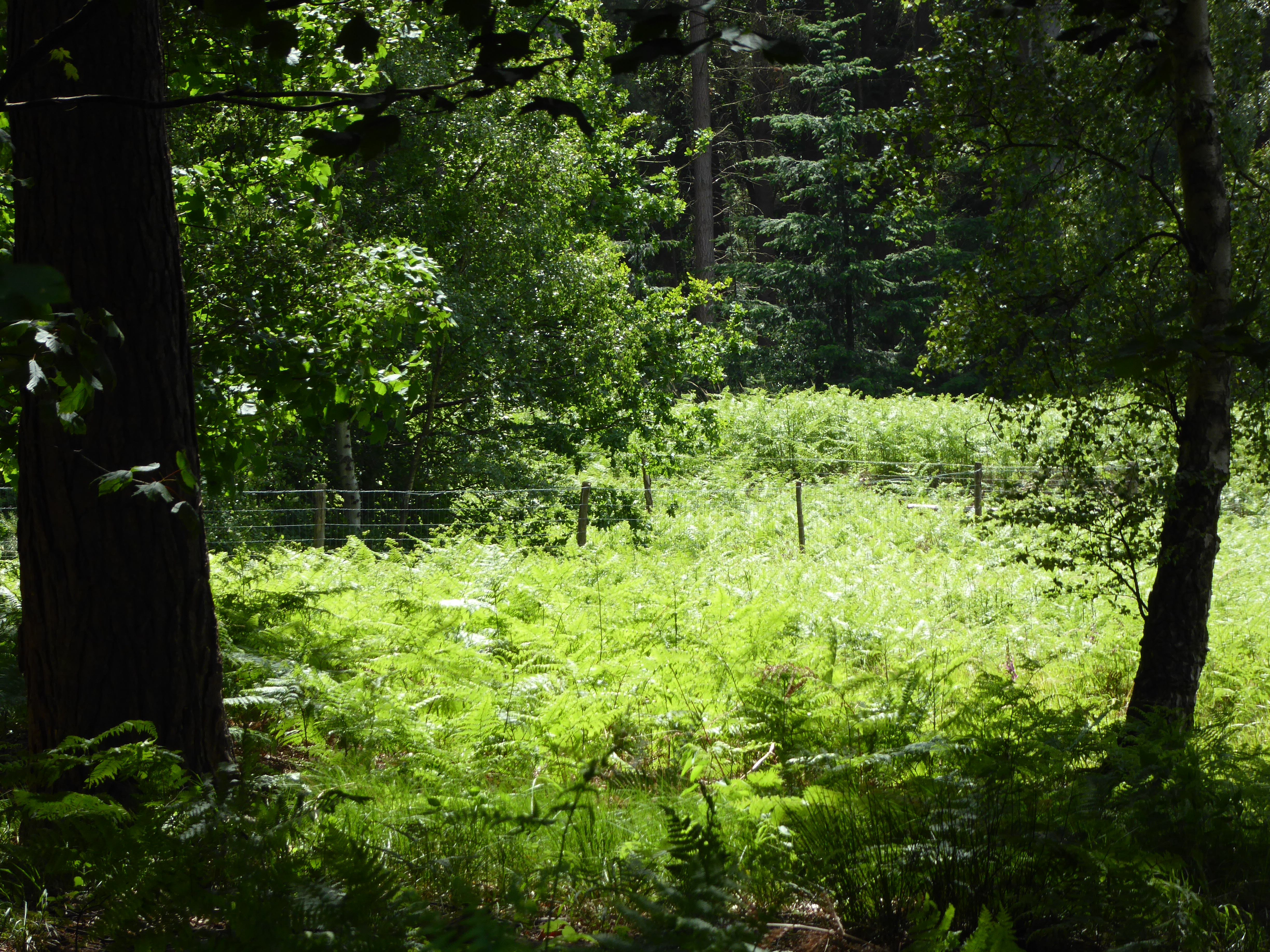
Foxhole Heath is a stunning natural area located in Suffolk, England. It spans across a vast expanse of approximately 200 acres and is characterized by its diverse landscape, encompassing downs, moorland, and heathland. The heath is situated near the village of Bentley, and its accessibility makes it a popular destination for nature lovers and outdoor enthusiasts.
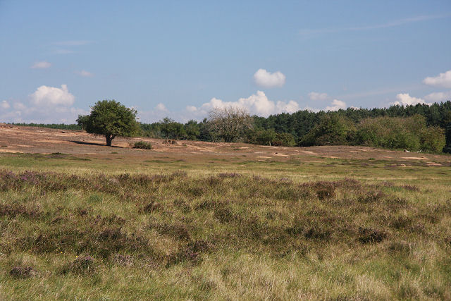
The heathland is predominantly covered with a rich carpet of heather, which adds vibrant hues of purple and pink to the landscape. This flowering plant is native to the area and thrives in the acidic soil found throughout the heath. The undulating terrain of Foxhole Heath offers visitors breathtaking views of the surrounding countryside, making it a favorite spot for hikers and photographers.
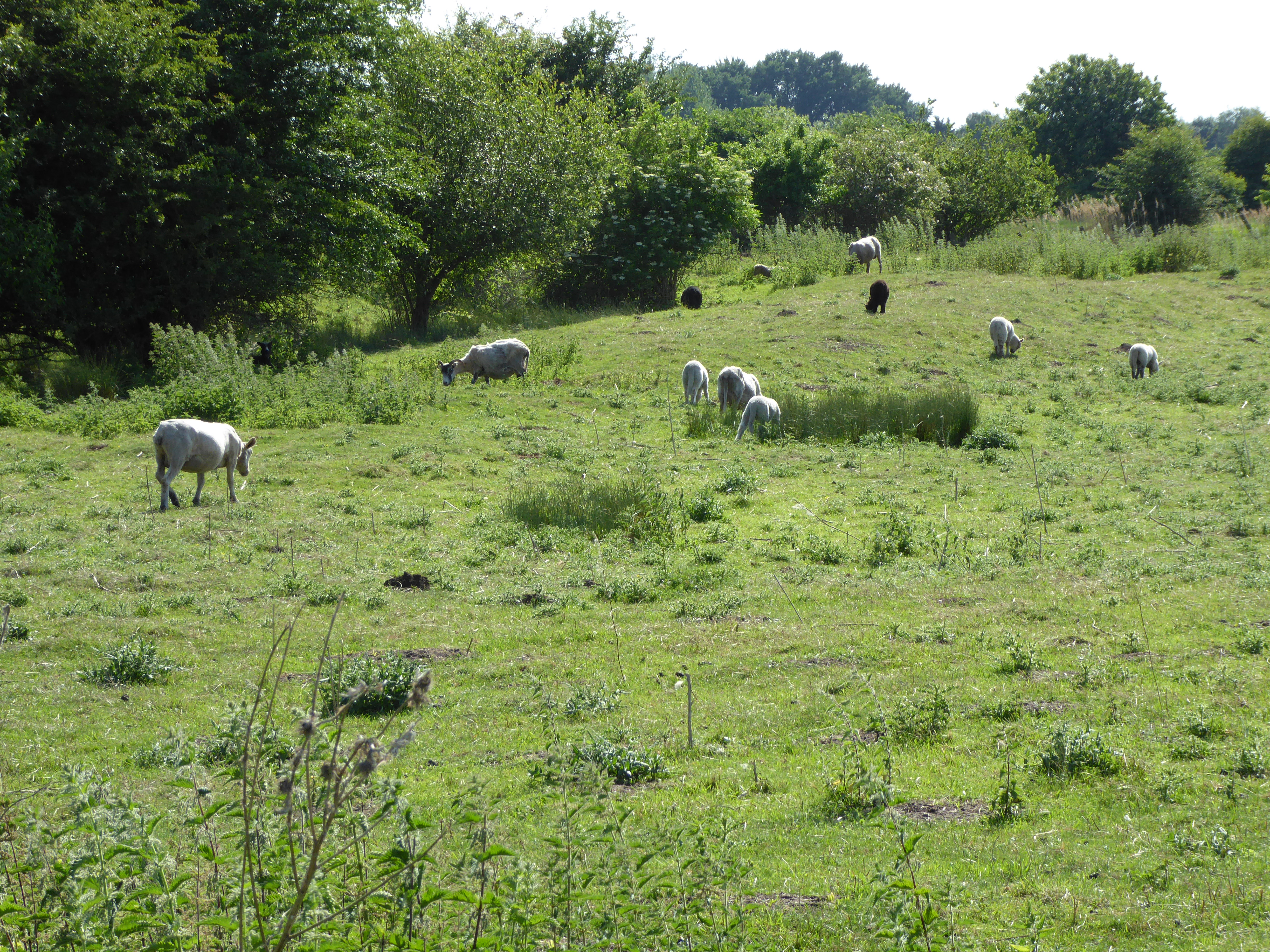
The heath is also home to a variety of wildlife species, including rare birds, butterflies, and reptiles. Birdwatchers can spot species such as the Dartford warbler, stonechat, and nightjar, while the reptile population includes adders and common lizards. Additionally, the heath provides ample habitat for a wide range of insects and small mammals.
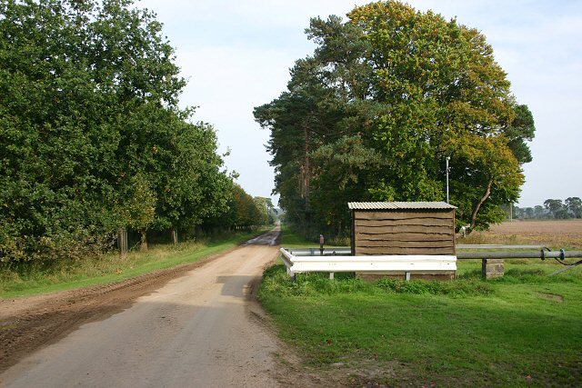
Foxhole Heath is managed by the Suffolk Wildlife Trust, which ensures the preservation of its natural beauty and biodiversity. The trust actively works towards maintaining the delicate balance of the ecosystem, including the control of invasive species and the restoration of heathland habitats.
Overall, Foxhole Heath offers a unique and captivating natural experience. Its combination of downs, moorland, and heathland creates a diverse and picturesque environment that attracts visitors from near and far. Whether exploring the trails, observing wildlife, or simply enjoying the serene surroundings, Foxhole Heath is a must-visit destination for nature enthusiasts in Suffolk.
If you have any feedback on the listing, please let us know in the comments section below.
Foxhole Heath Images
Images are sourced within 2km of 52.370565/0.55001031 or Grid Reference TL7377. Thanks to Geograph Open Source API. All images are credited.


Foxhole Heath is located at Grid Ref: TL7377 (Lat: 52.370565, Lng: 0.55001031)
Administrative County: Suffolk
District: West Suffolk
Police Authority: Suffolk
What 3 Words
///snails.laptops.unsettled. Near Mildenhall, Suffolk
Nearby Locations
Related Wikis

Foxhole Heath
Foxhole Heath is an 85.2-hectare (211-acre) biological Site of Special Scientific Interest east of Eriswell in Suffolk. It is a Nature Conservation Review...

Eriswell
Eriswell is a village and civil parish of West Suffolk in the English county of Suffolk. About forty scattered archaeological finds have been made here...

Eriswell Low Warren
Eriswell Low Warren is a 7.4-hectare (18-acre) biological Site of Special Scientific Interest north-east of Eriswell in Suffolk. It is a Nature Conservation...

How Hill Track
How Hill Track is a 3.1-hectare (7.7-acre) biological Site of Special Scientific Interest east of Mildenhall in Suffolk. It is in the Breckland Special...

Lordswell Field
Lordswell Field or Lord's Well Field is a 3.2-hectare (7.9-acre) biological Site of Special Scientific Interest in Eriswell in Suffolk. It is a Nature...
Wilde Street Meadow
Wilde Street Meadow is an 11.6-hectare (29-acre) biological Site of Special Scientific Interest between Lakenheath and Mildenhall in Suffolk, England.This...
Rex Graham nature reserve
Rex Graham Reserve is a 2.8-hectare (6.9-acre) biological Site of Special Scientific Interest east of Mildenhall in Suffolk. It is a Special Area of Conservation...

Forest Heath District
Forest Heath was a local government district in Suffolk, England. Its council was based in Mildenhall. Other towns in the district included Newmarket...
Nearby Amenities
Located within 500m of 52.370565,0.55001031Have you been to Foxhole Heath?
Leave your review of Foxhole Heath below (or comments, questions and feedback).