Middle Chinnock

Settlement in Somerset South Somerset

England

Middle Chinnock

Balham Hill Balham Hill across the river Parrett at Byme Bridge.
Balham Hill Credit: Rupert Fleetingly

Middle Chinnock is a small village located in the county of Somerset, England. Situated approximately 6 miles east of Yeovil, it forms part of the South Somerset district. The village has a population of around 350 residents, making it a close-knit and tight community.

The history of Middle Chinnock can be traced back to the Domesday Book of 1086, where it was recorded as "Cinoc." The name "Chinnock" is believed to derive from the Old English word "cynnuc," meaning "hill spur," which aptly describes the village's location on a ridge overlooking the surrounding countryside.

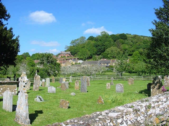
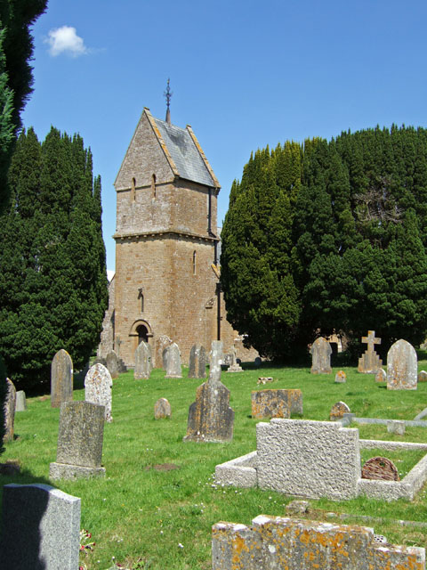
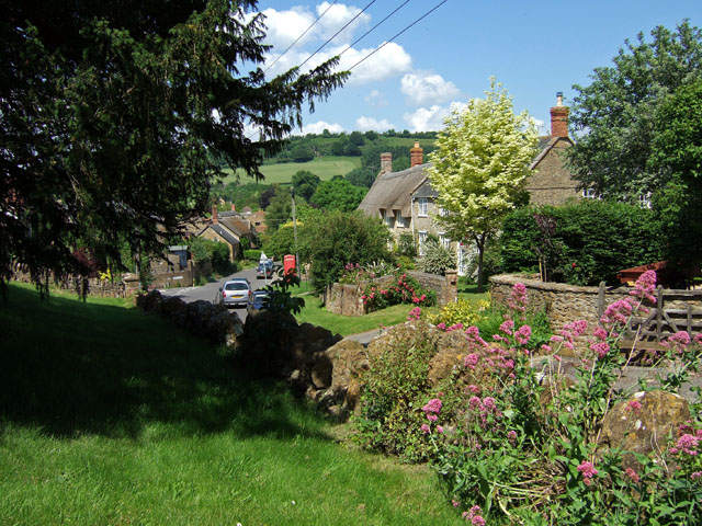
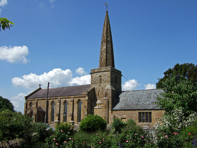
The village itself is primarily residential, characterized by charming cottages and period properties that showcase its rich history. Many of these buildings date back to the 17th and 18th centuries, adding to the village's traditional and picturesque atmosphere. The local church, St Margaret's, also adds to the village's historical charm, with parts of it dating back to the 13th century.

Despite its small size, Middle Chinnock benefits from a thriving community spirit. The village is home to various social groups and organizations, including a Women's Institute, a cricket club, and a village hall that hosts regular events and activities for residents of all ages.

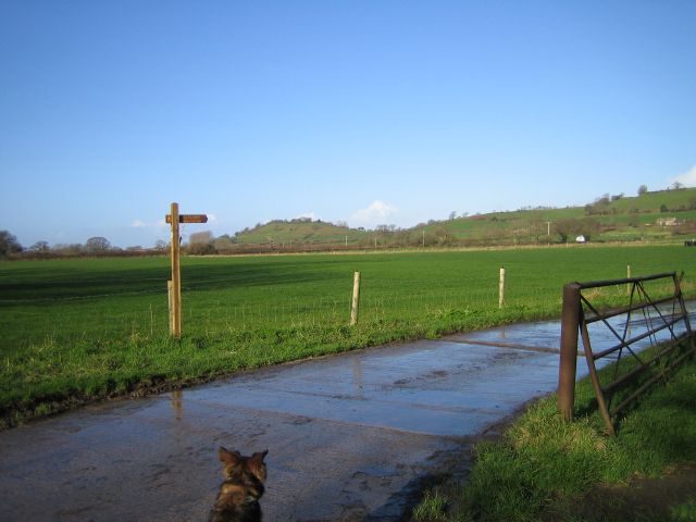
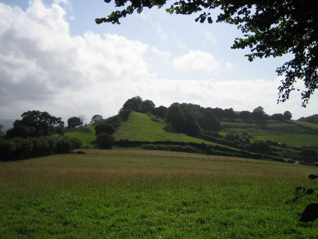
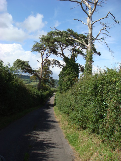
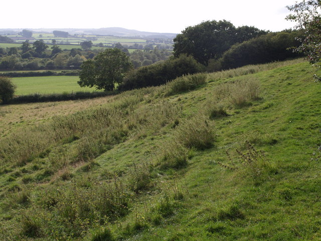
Surrounded by the beautiful Somerset countryside, Middle Chinnock offers plenty of opportunities for outdoor enthusiasts. The village is located near the A30 road, providing convenient access to neighboring towns and cities, including Yeovil and Crewkerne.

In summary, Middle Chinnock is a charming and historic village in Somerset, known for its close-knit community, picturesque properties, and its idyllic location amidst the rolling countryside.

If you have any feedback on the listing, please let us know in the comments section below.

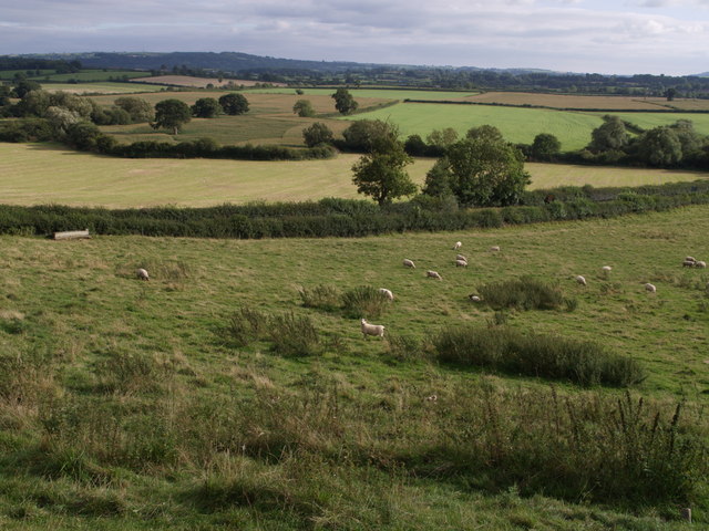
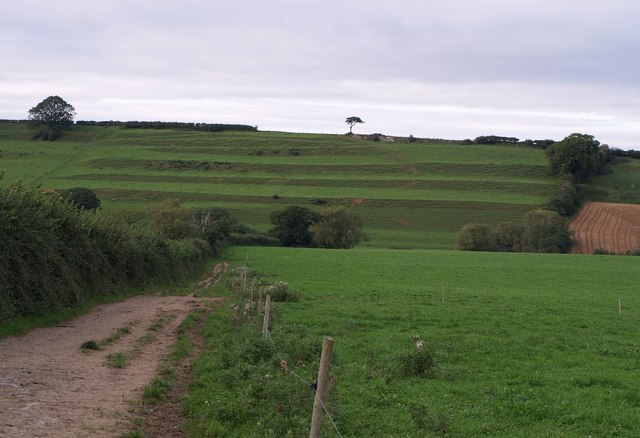
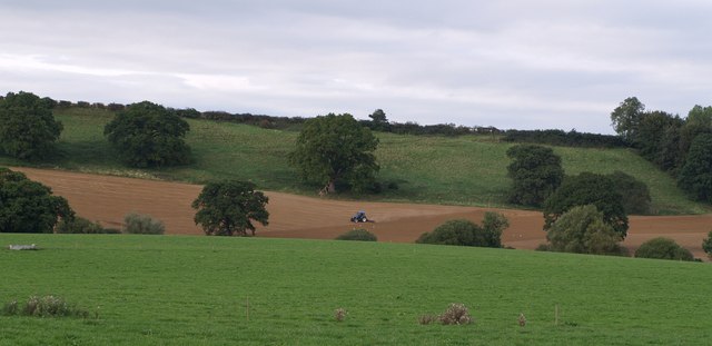
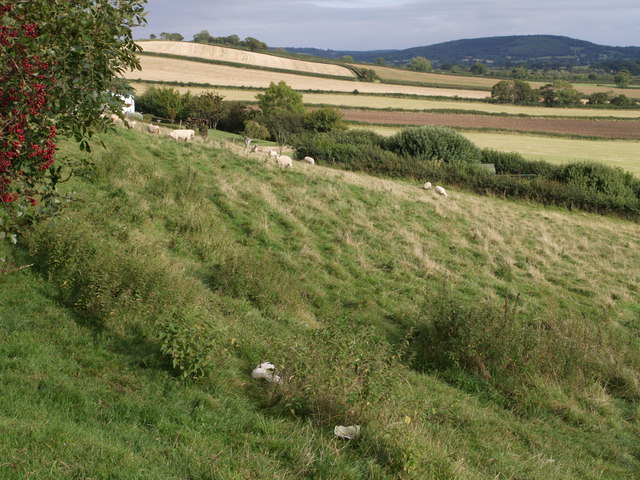
Middle Chinnock Images

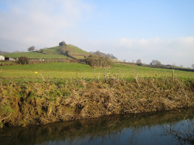
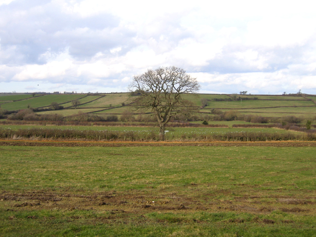
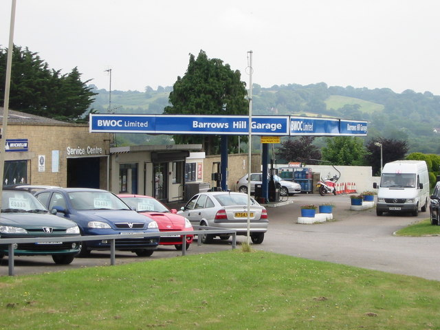
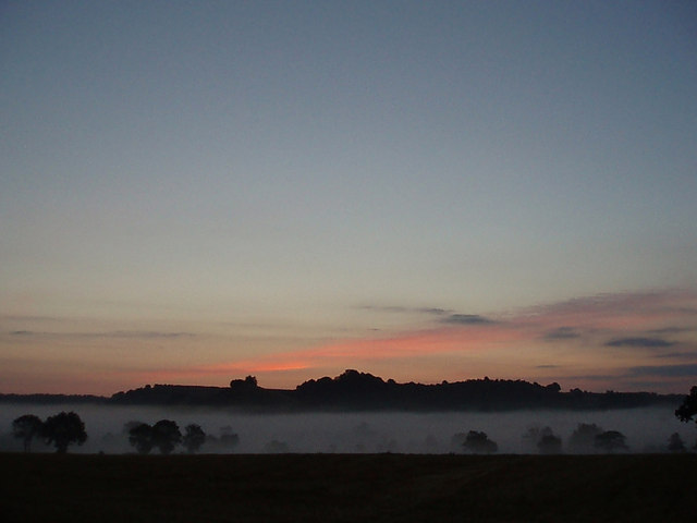
Images are sourced within 2km of 50.916157/-2.748943 or Grid Reference ST4713. Thanks to Geograph Open Source API. All images are credited.

Balham Hill Balham Hill across the river Parrett at Byme Bridge.
Balham Hill
Balham Hill across the river Parrett at Byme Bridge.
St. Margaret, Middle Chinnock
Broad River valley, Haselbury Plucknett, Somerset – view N towards Broad Hill, with mainly pasture on the clay soils.
Broad River valley, Haselbury Plucknett, Somerset
– view N towards Broad Hill, with mainly pasture on the clay soils.
Barrows Hill Garage Barrows Hill Garage, East Chinnock - On the A30
Barrows Hill Garage
Barrows Hill Garage, East Chinnock - On the A30
Looking towards Balham Hill
Fields Fields at Eastfield Farm. Balham Hill on the horizon.
Fields
Fields at Eastfield Farm. Balham Hill on the horizon.
The Cat Head Inn, Chiselborough,  Somerset In the heart of a beautiful village.
The Cat Head Inn, Chiselborough, Somerset
In the heart of a beautiful village.
Churchyard, Chiselborough, Somerset. Looking across the churchyard of the Church of St. Peter and St. Paul. Beyond the fence is an orchard. On this day the village was filled with the heavy scent of many flowers in the cottage gardens.
Churchyard, Chiselborough, Somerset.
Looking across the churchyard of the Church of St. Peter and St. Paul. Beyond the fence is an orchard. On this day the village was filled with the heavy scent of many flowers in the cottage gardens.
St Mary's Church - West Chinnock
West Chinnock
West Chinnock
Church of St Peter & St Paul - Chiselborough Framing the shot from the lane to the church was just too much for the wide angle lens on my camera, it just wouldn't fit! A kindly soul in the house opposite the church gave me permission to take the shot from his garden - success!
Church of St Peter & St Paul - Chiselborough
Framing the shot from the lane to the church was just too much for the wide angle lens on my camera, it just wouldn't fit! A kindly soul in the house opposite the church gave me permission to take the shot from his garden - success!
Brympton Hill Brympton Hill as seen from Smoky Hole Lane.
Brympton Hill
Brympton Hill as seen from Smoky Hole Lane.
Lane to Cott Farm Looking down from Broad Hill towards Cott Farm.
Lane to Cott Farm
Looking down from Broad Hill towards Cott Farm.
View from Barrows Hill At the foot of the hill beyond the grazing sheep, the A30 runs between the hedges. It is about to cross Broad River, whose course is marked by the winding line of bushes and trees beyond. Seen from the lane which runs along the edge of Barrows Hill from a junction with the A30 to Middle Chinnock.
View from Barrows Hill
At the foot of the hill beyond the grazing sheep, the A30 runs between the hedges. It is about to cross Broad River, whose course is marked by the winding line of bushes and trees beyond. Seen from the lane which runs along the edge of Barrows Hill from a junction with the A30 to Middle Chinnock.
Strip Lynchets Strip Lynchets on the steep south-facing oolite slope of West Chinnock Hill. Seen from footpath Y11/8, here followed by both the Monarch's Way and the Liberty Trail.
Strip Lynchets
Strip Lynchets on the steep south-facing oolite slope of West Chinnock Hill. Seen from footpath Y11/8, here followed by both the Monarch's Way and the Liberty Trail.
Farmland near West Chinnock A tractor works on a field on the slopes of West Chinnock Hill, just east of the lynchets seen in <a href="https://www.geograph.org.uk/photo/541853">ST4612 : Strip Lynchets</a>; doubtless they would have continued across this slope, but have been removed. Out of sight in the dip, following the line of trees, is Broad River. Seen from footpath Y11/8, here followed by both the Monarch's Way and the Liberty Trail.
Farmland near West Chinnock
A tractor works on a field on the slopes of West Chinnock Hill, just east of the lynchets seen in ST4612 : Strip Lynchets; doubtless they would have continued across this slope, but have been removed. Out of sight in the dip, following the line of trees, is Broad River. Seen from footpath Y11/8, here followed by both the Monarch's Way and the Liberty Trail.
Barrows Hill From the same spot as <a href="https://www.geograph.org.uk/photo/541778">ST4712 : View from Barrows Hill</a>, looking further east. The square extends only as far as the grazing sheep and the hedge. The A30, hidden by the further hedge, is in ST4812, as are the fields beyond on Elliots Hill.
Barrows Hill
From the same spot as ST4712 : View from Barrows Hill, looking further east. The square extends only as far as the grazing sheep and the hedge. The A30, hidden by the further hedge, is in ST4812, as are the fields beyond on Elliots Hill.
Barrows Hill Looking west from the spot from which <a href="https://www.geograph.org.uk/photo/541778">ST4712 : View from Barrows Hill</a> and <a href="https://www.geograph.org.uk/photo/542505">ST4712 : Barrows Hill</a> were taken. Foxwell Lane drops past the trees down the hill towards the A30. Beyond, on the left, trees indicate the line of Broad River, and beyond that are orchards surrounding North Down Farm.
Barrows Hill
Looking west from the spot from which ST4712 : View from Barrows Hill and ST4712 : Barrows Hill were taken. Foxwell Lane drops past the trees down the hill towards the A30. Beyond, on the left, trees indicate the line of Broad River, and beyond that are orchards surrounding North Down Farm.
Show me another place!

Middle Chinnock is located at Grid Ref: ST4713 (Lat: 50.916157, Lng: -2.748943)

Administrative County: Somerset

District: South Somerset

Police Authority: Avon and Somerset

What 3 Words

///madder.tennis.dreading. Near Merriott, Somerset

Related Wikis

Middle Chinnock

Middle Chinnock is a village in the civil parish of West and Middle Chinnock, in Somerset, England, 3 miles (4.8 km) north east of Crewkerne. It lies 0...

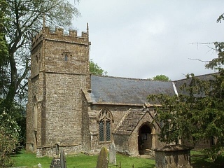
Church of St Margaret, Middle Chinnock

The Anglican Church of St Margaret in Middle Chinnock, Somerset, England was built in the 12th century. It is a Grade II* listed building. == History... ==

Church of the Blessed Virgin Mary, West Chinnock

The Church of the Blessed Virgin Mary is a Church of England church in West Chinnock, Somerset, England. It has 13th-century origins but was largely rebuilt...

West Chinnock

West Chinnock is a village and former civil parish, now in the parish of West and Middle Chinnock, in the Somerset district, in the ceremonial county of...

Nearby Amenities

Located within 500m of 50.916157,-2.748943
Middle Chinnock
Place: hamlet
Source: npe
Wikidata: Q2405885
Wikipedia: en:The Chinnocks
Lat/Long: 50.9168375/-2.7515406
Entrance: main
Lat/Long: 50.9151251/-2.7523963
The data included in this document is from www.openstreetmap.org. The data is made available under ODbL.

Have you been to Middle Chinnock?

Leave your review of Middle Chinnock below (or comments, questions and feedback).