Claydon, Middle
Settlement in Buckinghamshire
England
Claydon, Middle

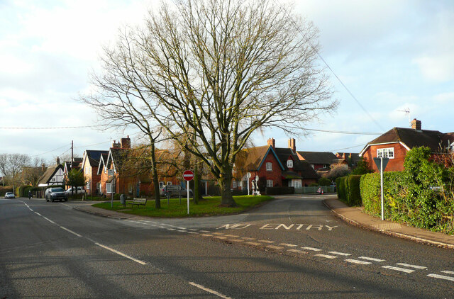
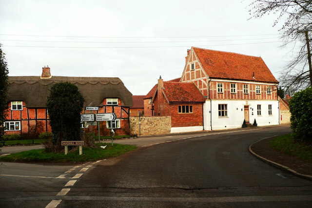
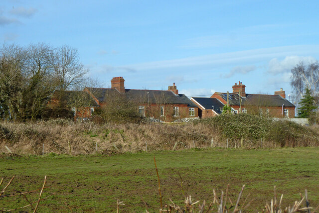
Claydon is a small village located in the county of Buckinghamshire, in the middle of England. It is situated approximately 7 miles northwest of the county town of Aylesbury. With a population of around 1,200 residents, Claydon is a tight-knit community known for its picturesque countryside and charming rural atmosphere.
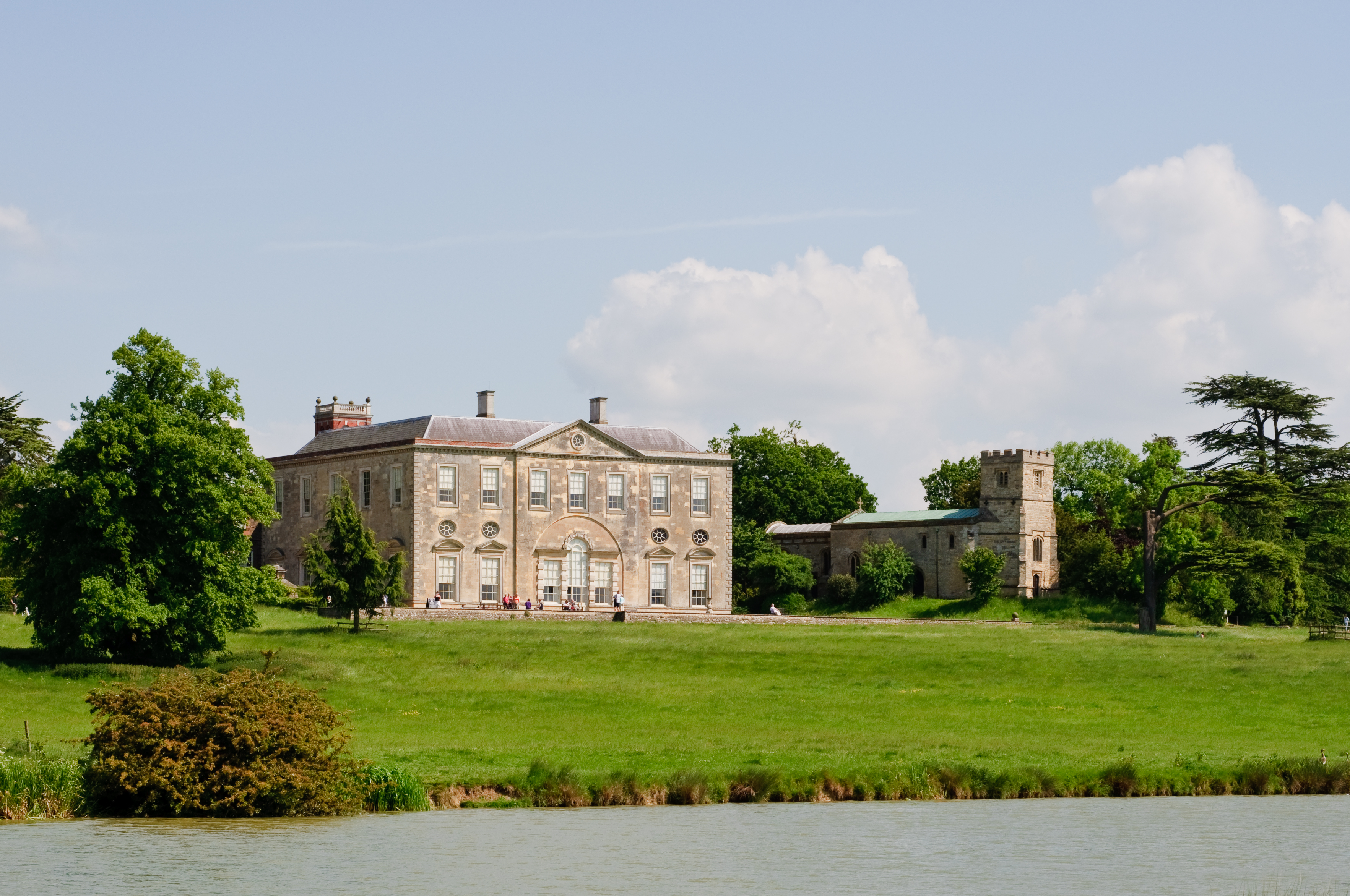
The village is surrounded by rolling hills, meadows, and farmland, offering breathtaking views of the English countryside. Its historic buildings and thatched cottages add to the village's traditional charm. Claydon is also home to the Grade I listed Claydon House, an impressive 18th-century mansion that attracts visitors from near and far. The house boasts stunning architecture, beautiful gardens, and a rich history, making it a popular tourist destination.
The village has a strong sense of community, with various local organizations and clubs that bring residents together. The Claydon and Barham Community Association organizes events and activities throughout the year, promoting community spirit and engagement. Additionally, the village has a primary school, a post office, and a pub, serving as focal points for the local community.
Claydon is well-connected to neighboring towns and cities, with regular bus services providing transportation links. The nearby market town of Buckingham is just a short drive away, offering a wider range of amenities, shops, and services.
Overall, Claydon provides a tranquil and idyllic setting for those seeking a peaceful village lifestyle, surrounded by natural beauty and a close-knit community.
If you have any feedback on the listing, please let us know in the comments section below.
Claydon, Middle Images
Images are sourced within 2km of 51.92696/-0.956963 or Grid Reference SP7125. Thanks to Geograph Open Source API. All images are credited.


Claydon, Middle is located at Grid Ref: SP7125 (Lat: 51.92696, Lng: -0.956963)
Unitary Authority: Buckinghamshire
Police Authority: Thames Valley
What 3 Words
///dolly.rising.various. Near Steeple Claydon, Buckinghamshire
Nearby Locations
Related Wikis
Middle Claydon
Middle Claydon is a village and civil parish in Buckinghamshire, England. The village is about 5 miles (8 km) south of Buckingham and about 3.5 miles...
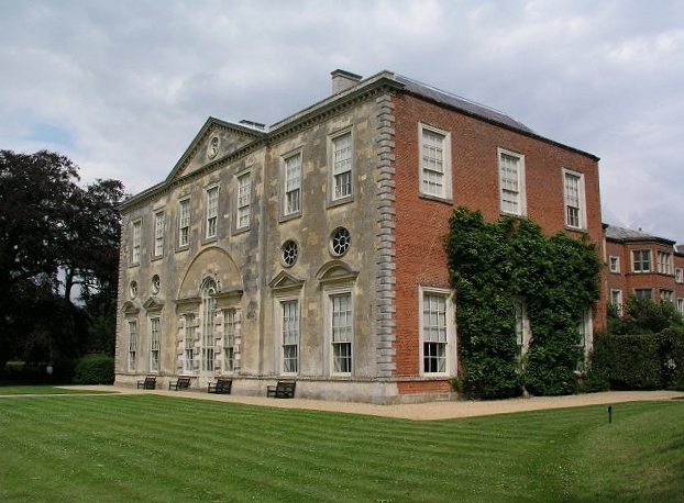
Claydon House
Claydon House is a country house in the Aylesbury Vale, Buckinghamshire, England, near the village of Middle Claydon. It was built between 1757 and 1771...
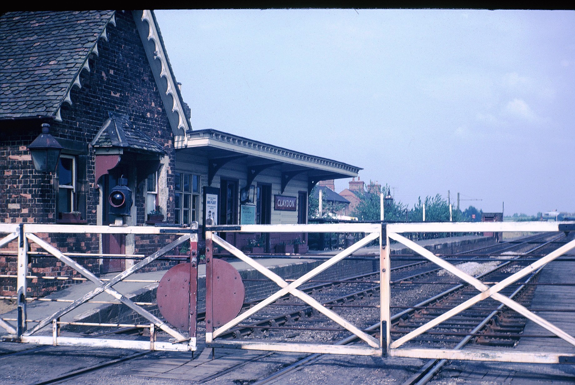
Claydon railway station
Claydon railway station is a former railway station on the 'Varsity Line' (former Oxford – Cambridge line), that served the village of Steeple Claydon...

Claydon (deanery)
Claydon Deanery is part of the Archdeaconry of Buckingham within the Diocese of Oxford, England. It includes four benefices, including two team benefices...
Nearby Amenities
Located within 500m of 51.92696,-0.956963Have you been to Claydon, Middle?
Leave your review of Claydon, Middle below (or comments, questions and feedback).