Wessington

Civil Parish in Derbyshire North East Derbyshire

England

Wessington

Time capsule in Wessington Situated on the village green with the Horse & Jockey behind. The capsule was placed in 1977 and will be opened in 2027.
Time capsule in Wessington Credit: Bill Boaden

Wessington is a civil parish located in the county of Derbyshire, England. It is situated approximately 4 miles south of Alfreton and 12 miles north of Derby. The parish covers an area of around 4 square miles and has a population of approximately 1,000 residents.

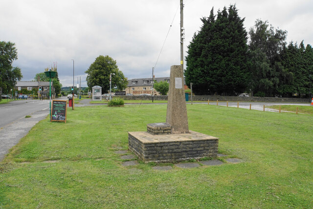
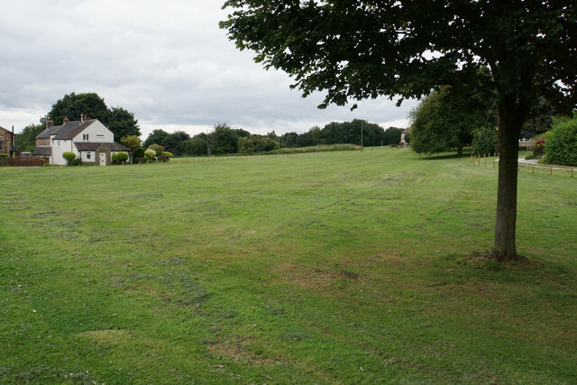
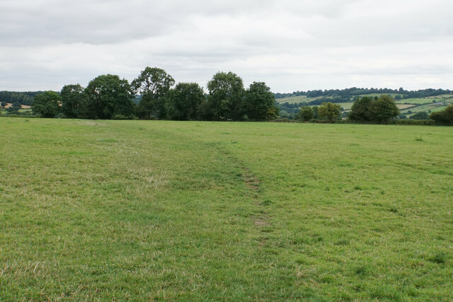
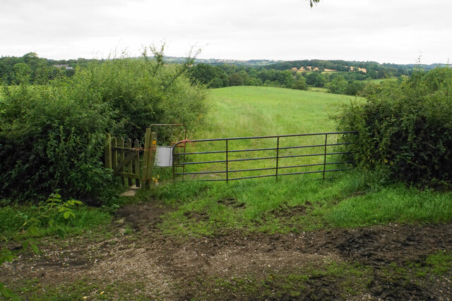
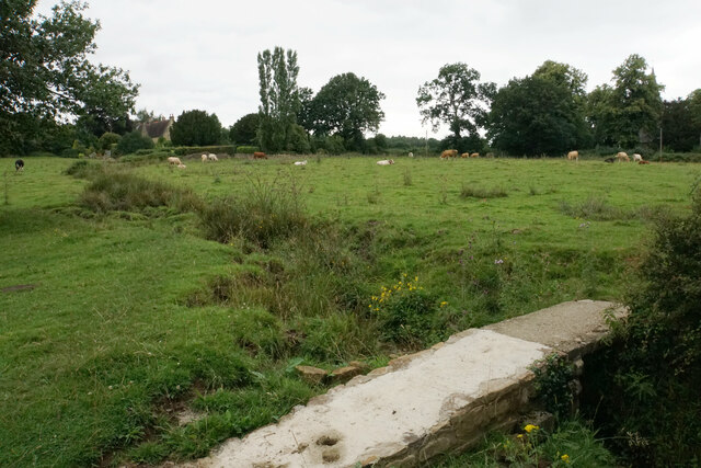
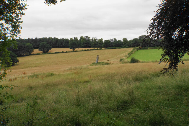
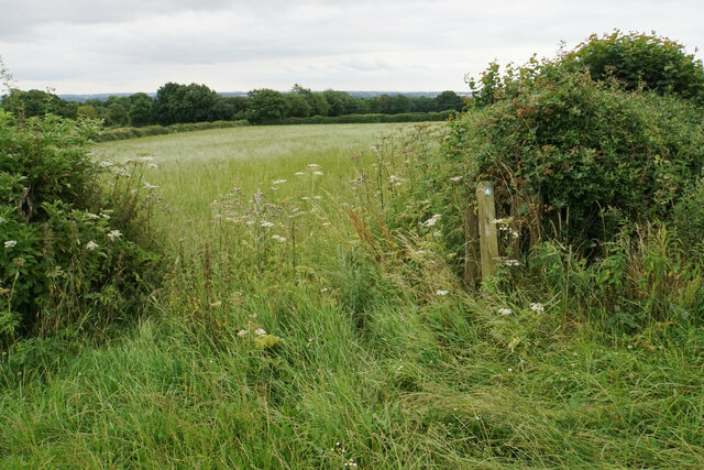
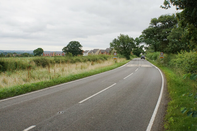
The village of Wessington itself is a small, rural settlement with a charming and picturesque atmosphere. It is surrounded by rolling hills and beautiful countryside, making it an ideal location for those seeking a peaceful and idyllic setting. The landscape is dotted with traditional stone cottages, giving the village a quaint and traditional feel.

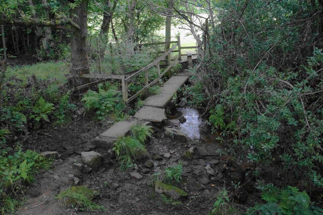
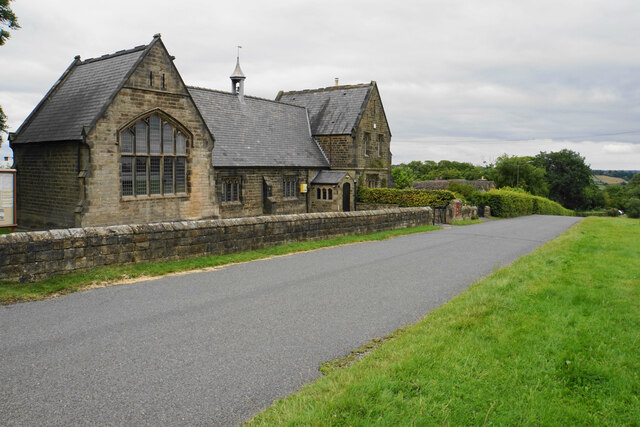
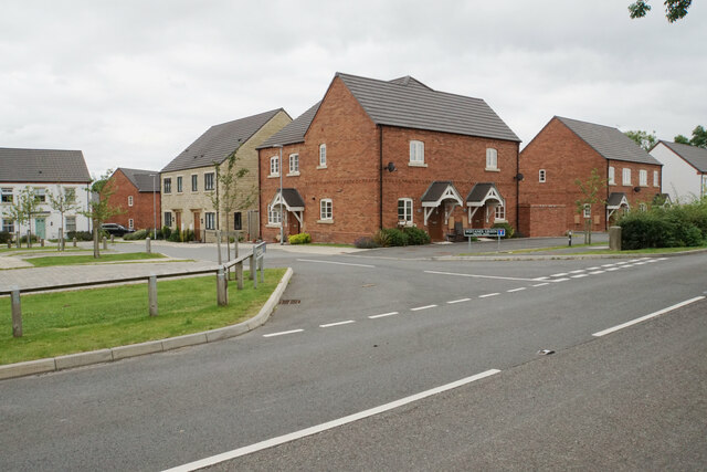
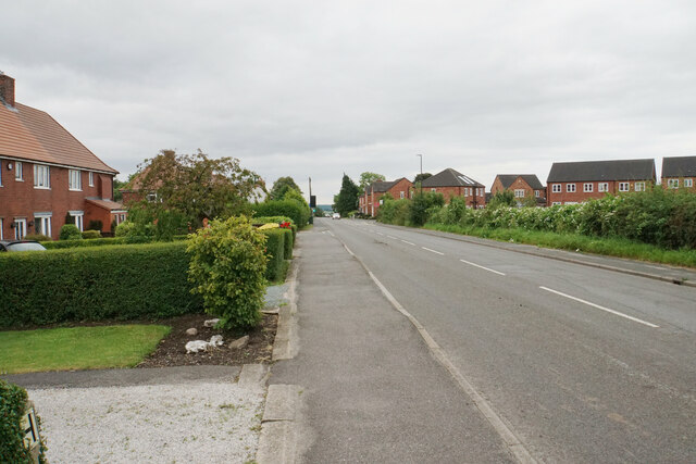
Wessington has a strong sense of community, with a range of amenities and facilities available to its residents. These include a primary school, a village hall, a local pub, and a post office. The parish also has a number of footpaths and bridleways, providing opportunities for outdoor activities such as walking and horse riding.

The economy of Wessington is primarily based on agriculture, with many residents working in farming or related industries. The village is also within commuting distance of larger towns and cities, such as Derby and Nottingham, offering employment opportunities in a variety of sectors.

Overall, Wessington is a charming and close-knit community, offering a tranquil lifestyle surrounded by natural beauty. It is an ideal location for those seeking a peaceful and rural setting, while still having access to amenities and employment opportunities in nearby towns.

If you have any feedback on the listing, please let us know in the comments section below.
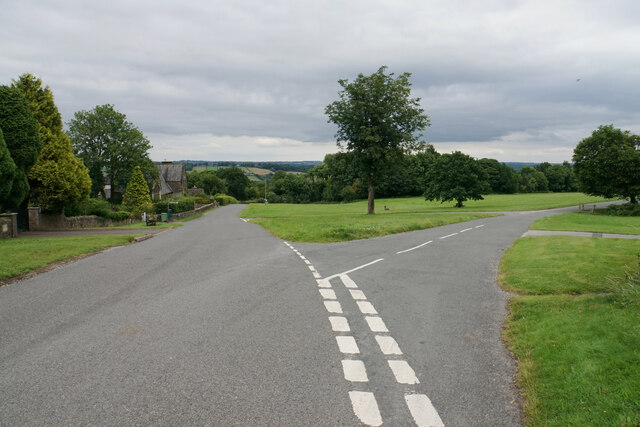
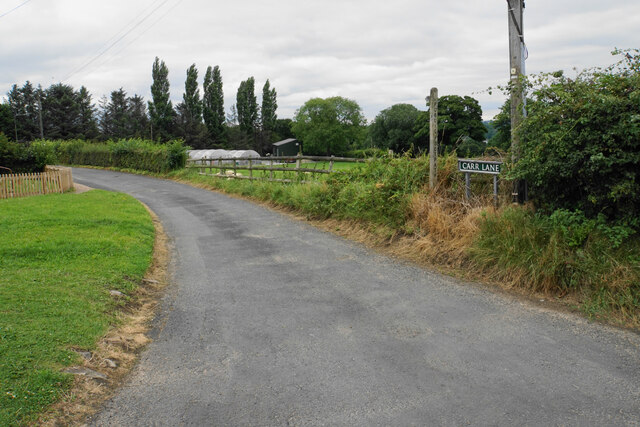
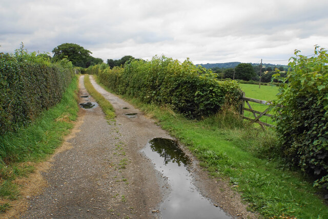
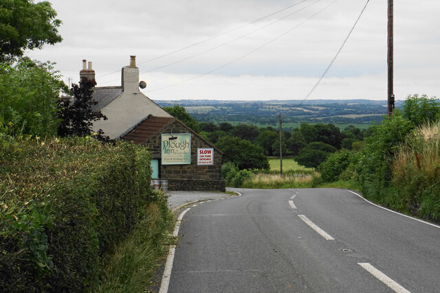
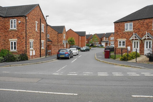
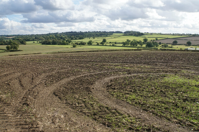
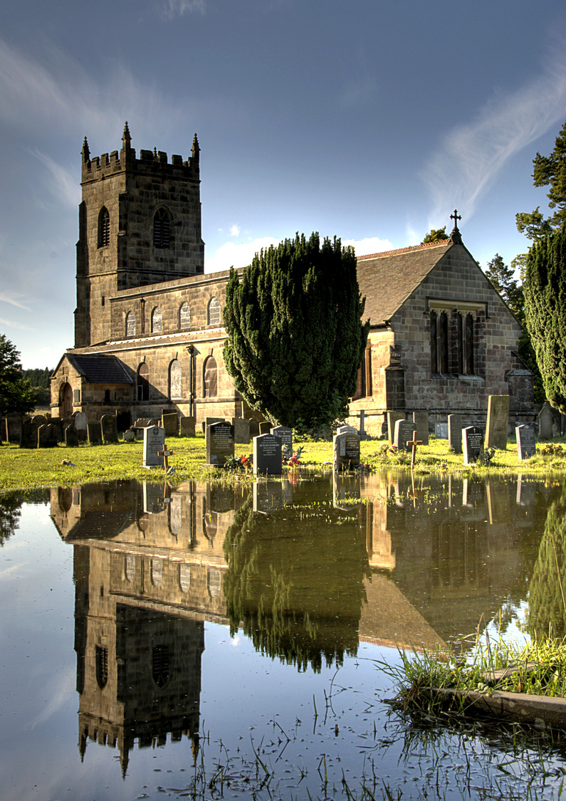
Wessington Images

Images are sourced within 2km of 53.111426/-1.44587 or Grid Reference SK3757. Thanks to Geograph Open Source API. All images are credited.

Time capsule in Wessington Situated on the village green with the Horse & Jockey behind. The capsule was placed in 1977 and will be opened in 2027.
Time capsule in Wessington
Situated on the village green with the Horse & Jockey behind. The capsule was placed in 1977 and will be opened in 2027.
Village green at Wessington A small part of what is a very large green.
Village green at Wessington
A small part of what is a very large green.
Footpath to Brackenfield The path crosses fields to the north of Wessington.
Footpath to Brackenfield
The path crosses fields to the north of Wessington.
Footpath to Brackenfield There is a gentle descent along the field edge down to Winny Brook.
Footpath to Brackenfield
There is a gentle descent along the field edge down to Winny Brook.
Footpath over Winny Brook The path links Wessington and Brackenfield.
Footpath over Winny Brook
The path links Wessington and Brackenfield.
Cattle near Brackenfield The footpath in the foreground links Brackenfield with Wessington.
Cattle near Brackenfield
The footpath in the foreground links Brackenfield with Wessington.
Farmland near Brackenfield Fallow grassland opposite Church Farm.
Farmland near Brackenfield
Fallow grassland opposite Church Farm.
The Church Hall, Brackenfield Facing the village green and available for hire.
The Church Hall, Brackenfield
Facing the village green and available for hire.
Village green at Brackenfield The large well-maintained green viewed from the top end.
Village green at Brackenfield
The large well-maintained green viewed from the top end.
Carr Lane A private farm track but in good condition at this end. It is also a public footpath.
Carr Lane
A private farm track but in good condition at this end. It is also a public footpath.
Carr Lane A farm track which incorporates a public footpath. The land slopes down to the right towards Ogston Reservoir but you cannot see it.
Carr Lane
A farm track which incorporates a public footpath. The land slopes down to the right towards Ogston Reservoir but you cannot see it.
Matlock Road passing The Plough The A615 heading towards Alfreton. This part of the road is not easy to walk along, being quite narrow with no provision for pedestrians.
Matlock Road passing The Plough
The A615 heading towards Alfreton. This part of the road is not easy to walk along, being quite narrow with no provision for pedestrians.
Footpath towards Wessington There is not much evidence of the footpath but you can't go wrong. It is much preferable to walking by the A615.
Footpath towards Wessington
There is not much evidence of the footpath but you can't go wrong. It is much preferable to walking by the A615.
Matlock Road nearing Wessington North-westerly expansion of Wessington can be seen ahead.
Matlock Road nearing Wessington
North-westerly expansion of Wessington can be seen ahead.
Wistanes Green Recent housing expansion on the north-western edge of Wessington.
Wistanes Green
Recent housing expansion on the north-western edge of Wessington.
Matlock Road The A615 heading towards the centre of Wessington. This is probably not the most scenic part of the village.
Matlock Road
The A615 heading towards the centre of Wessington. This is probably not the most scenic part of the village.
Spring Gardens, Wessington Another new area of housing development in the village.
Spring Gardens, Wessington
Another new area of housing development in the village.
Farmland near Toadhole Furnace This field has been prepared for a new crop. Alfreton is just behind the trees on the far hill and Alfreton Brook runs in the valley in between. If the proposals for a new solar farm are approved, then a lot of this view will be changed.
Farmland near Toadhole Furnace
This field has been prepared for a new crop. Alfreton is just behind the trees on the far hill and Alfreton Brook runs in the valley in between. If the proposals for a new solar farm are approved, then a lot of this view will be changed.
Show me another place!

Wessington is located at Grid Ref: SK3757 (Lat: 53.111426, Lng: -1.44587)

Administrative County: Derbyshire

District: North East Derbyshire

Police Authority: Derbyshire

What 3 Words

///pleaser.vowel.emeralds. Near South Wingfield, Derbyshire

Related Wikis

Wessington

Wessington is a village and civil parish in the English county of Derbyshire. The population of the civil parish at the 2011 census was 576. It is in the...

South Wingfield

South Wingfield is a village and civil parish in Derbyshire, England, it is now part of the borough of Amber Valley and formerly in the Scarsdale hundred...

Brackenfield

Brackenfield is a village and civil parish in the North East Derbyshire district of Derbyshire, England. The population of the civil parish as of the 2011...

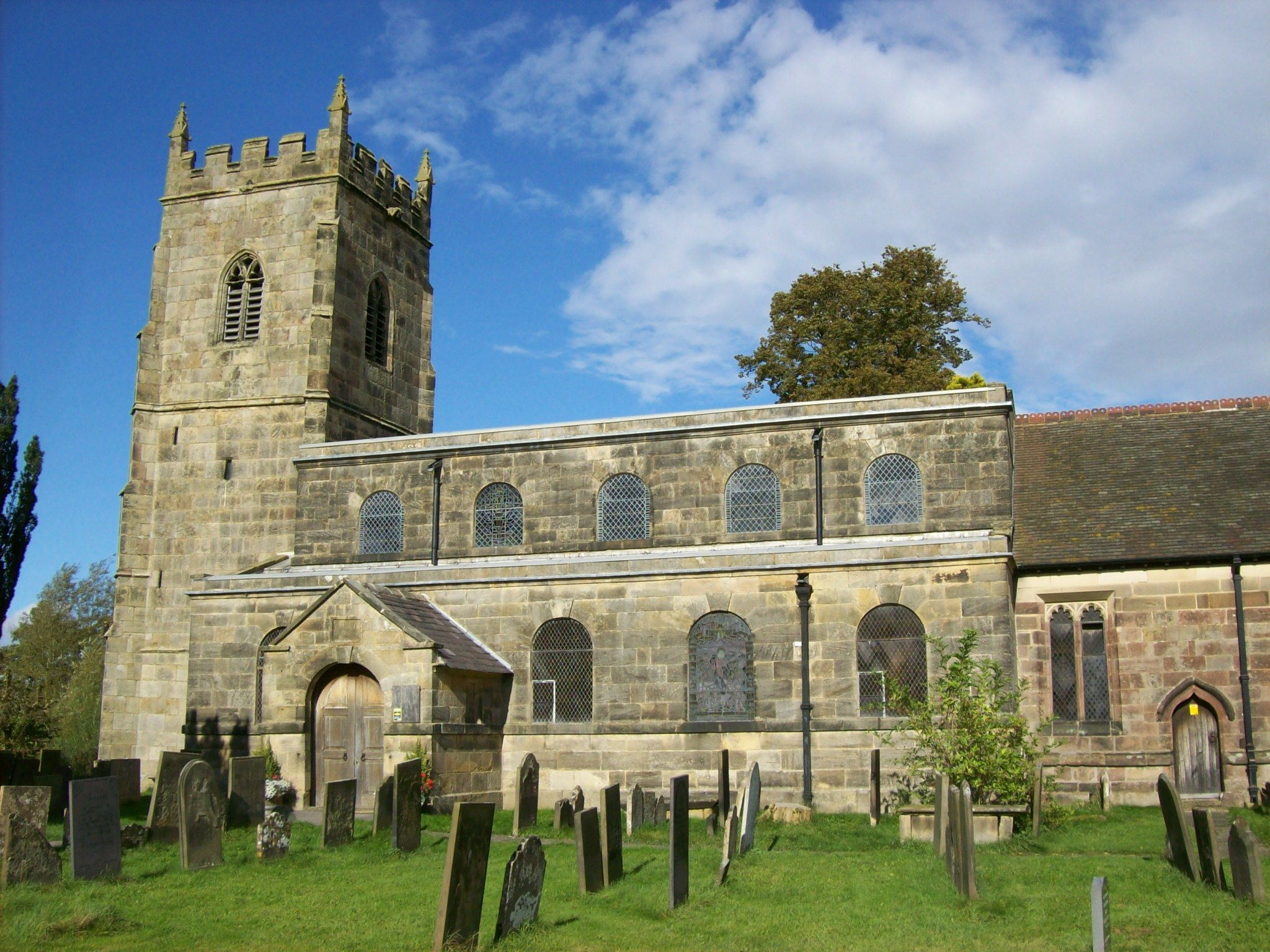
All Saints' Church, South Wingfield

All Saints’ Church, South Wingfield is a Grade II* listed parish church in the Church of England in South Wingfield, Derbyshire. == History == The church...

Nearby Amenities

Located within 500m of 53.111426,-1.44587
Bench
Created By: Potlatch 0.10f
Lat/Long: 53.1157532/-1.4459006
Post Box
Brand: Royal Mail
Brand Wikidata: Q638098
Brand Wikipedia: en:Royal Mail
Operator: Royal Mail
Operator Wikidata: Q638098
Post Box Type: wall
Ref: DE55 411
Royal Cypher: GR
Royal Cypher Wikidata: Q33102273
Lat/Long: 53.1142233/-1.4442116
Bench
Ele: 162.1068115
Lat/Long: 53.1150868/-1.4457942
Ele: 161.8664551
Lat/Long: 53.1152405/-1.4456111
Ele: 157
Lat/Long: 53.1138711/-1.4480485
Barrier: cattle_grid
Ele: 148.0000000
Lat/Long: 53.1118419/-1.4486943
Ele: 147.0000000
Lat/Long: 53.1115152/-1.4484739
Barrier: stile
Ele: 147.0000000
Steps: 1
Stile: stepover
Lat/Long: 53.1115011/-1.4484867
Ele: 153
Lat/Long: 53.1128758/-1.4480629
Ele: 158
Lat/Long: 53.1143481/-1.4480471
Ele: 163
Lat/Long: 53.1151116/-1.4480612
Barrier: stile
Ele: 143.0000000
Steps: 1
Stile: stepover
Lat/Long: 53.110663/-1.4490737
Barrier: stile
Ele: 137.0000000
Steps: 1
Stile: stepover
Lat/Long: 53.1099901/-1.449737
Ele: 137.0000000
Lat/Long: 53.1099869/-1.4497719
Barrier: stile
Ele: 136.0000000
Steps: 1
Stile: stepover
Lat/Long: 53.1099806/-1.4497975
Ele: 128.0000000
Lat/Long: 53.1092171/-1.4512303
Barrier: stile
Ele: 127.0000000
Steps: 0
Stile: stepover
Lat/Long: 53.1091353/-1.4513025
Bench
Ele: 158.0000000
Lat/Long: 53.1153438/-1.4462874
Barrier: stile
Ele: 141.0000000
Steps: 1
Stile: stepover
Lat/Long: 53.1106602/-1.4525577
Barrier: stile
Stile: stepover
Lat/Long: 53.1106481/-1.4436865
Information: board
Tourism: information
Lat/Long: 53.115885/-1.4449386
Power: pole
Lat/Long: 53.1083771/-1.4405586
Power: pole
Lat/Long: 53.1089281/-1.4402148
Power: pole
Lat/Long: 53.1094196/-1.4399017
Power: pole
Lat/Long: 53.1099034/-1.4395983
Power: pole
Lat/Long: 53.1103943/-1.4392808
Power: pole
Lat/Long: 53.1109787/-1.438903
Barrier: stile
Material: wood
Source: survey;gps
Stile: stepover
Lat/Long: 53.1106663/-1.4435614
Bench
Source: survey;gps
Lat/Long: 53.114346/-1.4450693
Crich Lane Farm
Guest House: bed_and_breakfast
Tourism: guest_house
Lat/Long: 53.1114001/-1.449906
The data included in this document is from www.openstreetmap.org. The data is made available under ODbL.

Have you been to Wessington?

Leave your review of Wessington below (or comments, questions and feedback).