Wessington

Settlement in Derbyshire North East Derbyshire

England

Wessington

Time capsule in Wessington Situated on the village green with the Horse & Jockey behind. The capsule was placed in 1977 and will be opened in 2027.
Time capsule in Wessington Credit: Bill Boaden

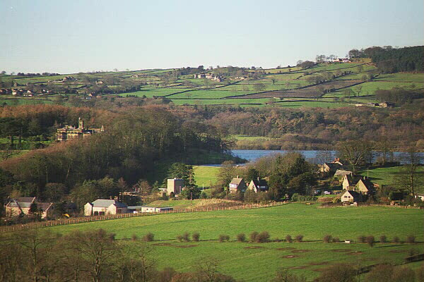
Wessington is a small village located in the county of Derbyshire, England. Situated in the Amber Valley district, it lies approximately 4 miles southwest of the town of Alfreton and 15 miles north of Derby. Wessington is surrounded by rolling countryside and offers picturesque views of the Amber Valley.

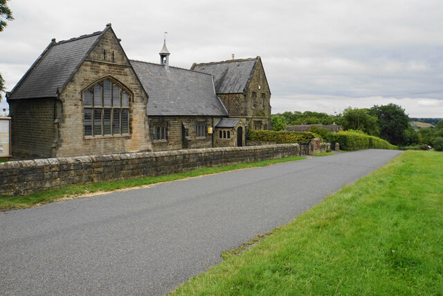
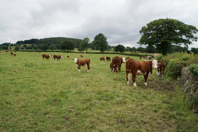
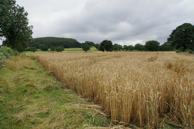
The village has a population of around 1,000 residents and has a long history dating back to the Domesday Book of 1086. It was primarily an agricultural community, but the decline of farming in the 20th century led to a shift towards a more residential area. Today, Wessington retains its rural charm with a mix of old stone cottages and modern houses.

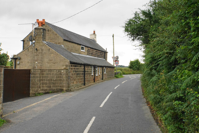
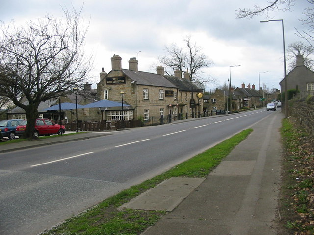
There are a few amenities available within the village, including a primary school, a village hall, and a post office. For further services, residents can access nearby towns such as Alfreton or Ripley. Wessington is also conveniently located near major transport links, with the A38 road passing close by, providing easy access to the M1 motorway.

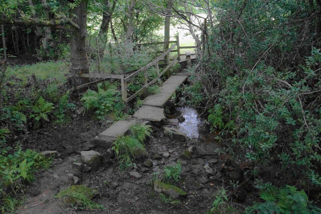
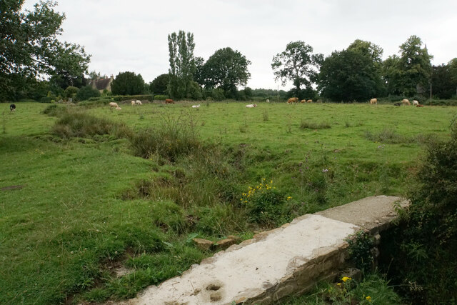
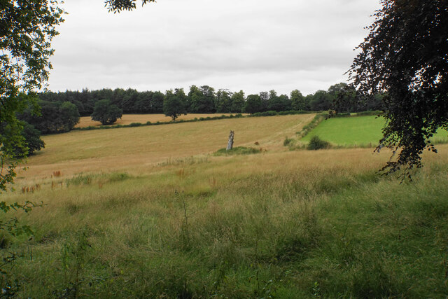
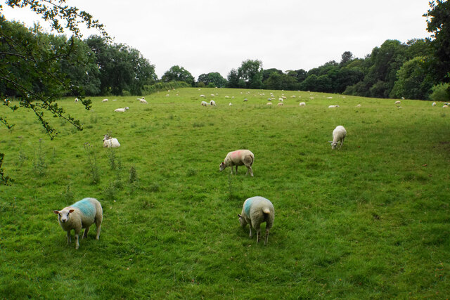
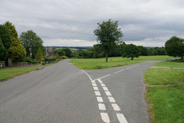
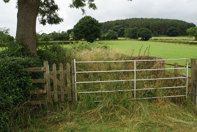
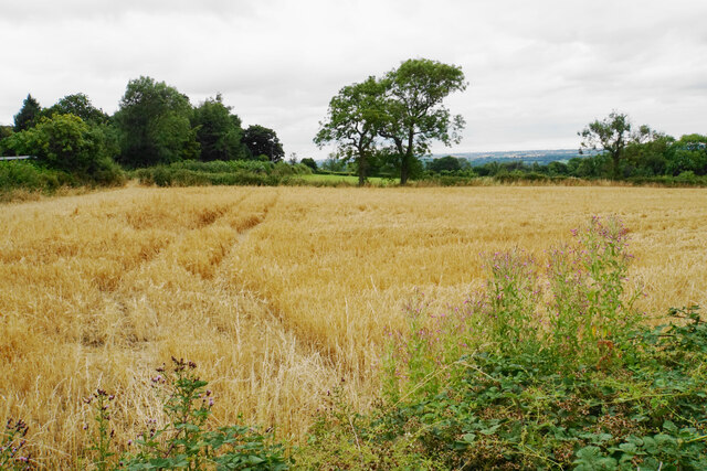
The area surrounding Wessington offers numerous opportunities for outdoor activities and exploration. The nearby Amber Valley countryside is ideal for walking, hiking, and cycling, with several footpaths and trails available. The village is also within close proximity to the Peak District National Park, renowned for its stunning landscapes and outdoor pursuits.

Overall, Wessington is a peaceful and scenic village in Derbyshire, providing residents with a tranquil rural lifestyle while remaining accessible to larger towns and outdoor recreational opportunities.

If you have any feedback on the listing, please let us know in the comments section below.
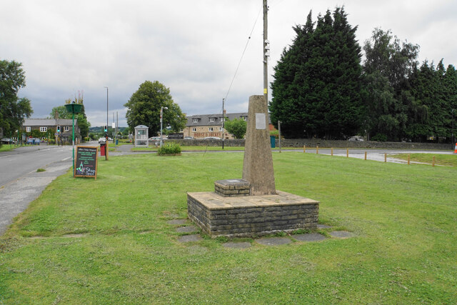
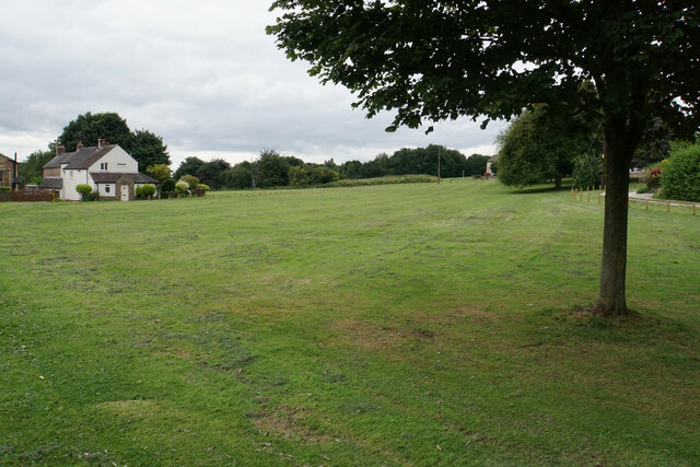
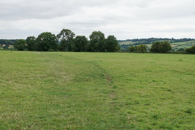
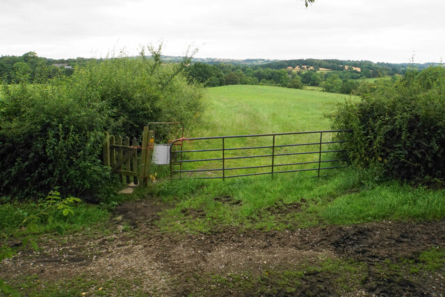
Wessington Images

Images are sourced within 2km of 53.116873/-1.4441158 or Grid Reference SK3757. Thanks to Geograph Open Source API. All images are credited.

Time capsule in Wessington Situated on the village green with the Horse & Jockey behind. The capsule was placed in 1977 and will be opened in 2027.
Time capsule in Wessington
Situated on the village green with the Horse & Jockey behind. The capsule was placed in 1977 and will be opened in 2027.
Village green at Wessington A small part of what is a very large green.
Village green at Wessington
A small part of what is a very large green.
Footpath to Brackenfield The path crosses fields to the north of Wessington.
Footpath to Brackenfield
The path crosses fields to the north of Wessington.
Footpath to Brackenfield There is a gentle descent along the field edge down to Winny Brook.
Footpath to Brackenfield
There is a gentle descent along the field edge down to Winny Brook.
Footpath over Winny Brook The path links Wessington and Brackenfield.
Footpath over Winny Brook
The path links Wessington and Brackenfield.
Cattle near Brackenfield The footpath in the foreground links Brackenfield with Wessington.
Cattle near Brackenfield
The footpath in the foreground links Brackenfield with Wessington.
Farmland near Brackenfield Fallow grassland opposite Church Farm.
Farmland near Brackenfield
Fallow grassland opposite Church Farm.
Sheep near Church Farm The bottom of a long slope above Ogston Reservoir which eventually gets up to Highoredish.
Sheep near Church Farm
The bottom of a long slope above Ogston Reservoir which eventually gets up to Highoredish.
Ogston Reservoir The southern end of the reservoir. The dam can be seen towards the left. Ogston Hall is somewhere behind the trees opposite.
Ogston Reservoir
The southern end of the reservoir. The dam can be seen towards the left. Ogston Hall is somewhere behind the trees opposite.
The Church Hall, Brackenfield Facing the village green and available for hire.
The Church Hall, Brackenfield
Facing the village green and available for hire.
Village green at Brackenfield The large well-maintained green viewed from the top end.
Village green at Brackenfield
The large well-maintained green viewed from the top end.
Carr Lane A private farm track but in good condition at this end. It is also a public footpath.
Carr Lane
A private farm track but in good condition at this end. It is also a public footpath.
Carr Lane A farm track which incorporates a public footpath. The land slopes down to the right towards Ogston Reservoir but you cannot see it.
Carr Lane
A farm track which incorporates a public footpath. The land slopes down to the right towards Ogston Reservoir but you cannot see it.
Cattle by Carr Lane On the gentle slopes leading up to Highoredish.
Cattle by Carr Lane
On the gentle slopes leading up to Highoredish.
Wheat field above Carr Farm A footpath follows the left side of this field, but it is not well used.
Wheat field above Carr Farm
A footpath follows the left side of this field, but it is not well used.
Path up to Whitecarr Lane It was hard work wading through this overgrown path.
Path up to Whitecarr Lane
It was hard work wading through this overgrown path.
Mathersgrave Lane The western end where it meets the A615.
Mathersgrave Lane
The western end where it meets the A615.
Small barley field by Mathersgrave Lane Viewed from Matlock Road.
Small barley field by Mathersgrave Lane
Viewed from Matlock Road.
Show me another place!

Wessington is located at Grid Ref: SK3757 (Lat: 53.116873, Lng: -1.4441158)

Administrative County: Derbyshire

District: North East Derbyshire

Police Authority: Derbyshire

What 3 Words

///formal.lyricist.champions. Near South Wingfield, Derbyshire

Related Wikis

Wessington

Wessington is a village and civil parish in the English county of Derbyshire. The population of the civil parish at the 2011 census was 576. It is in the...

Brackenfield

Brackenfield is a village and civil parish in the North East Derbyshire district of Derbyshire, England. The population of the civil parish as of the 2011...

Mathersgrave

Mathersgrave is a hamlet in Derbyshire, England. It consists of three houses on Mathers Grave Lane. This lane runs between the A615 Matlock road and School...

Ogston Hall

Ogston Hall is a privately owned 18th-century country house situated at Brackenfield, near Alfreton, Derbyshire. It is a Grade II* listed building. A building...

Shirland and Higham

Shirland and Higham is a civil parish within the North East Derbyshire district, which is in the county of Derbyshire, England. Mainly built up with rural...

Higham, Derbyshire

Higham is a small village in Derbyshire, England. It is on the B6013 and A61 roads. Nearby settlements include Shirland, Stretton, Alfreton and Clay Cross...

Shirland

Shirland is a former pit village in Derbyshire, England. Together with the neighbouring villages of Higham, Stretton and Stonebroom, it forms part of the...

Ogston Reservoir

Ogston Reservoir is a reservoir operated by Severn Trent Water in Derbyshire. It is near the villages of Brackenfield and Ashover and the town of Clay...

Nearby Amenities

Located within 500m of 53.116873,-1.4441158
Wessington
Is In: Derbyshire, England, UK
Place: village
Wikidata: Q658183
Wikipedia: en:Wessington
Lat/Long: 53.1159685/-1.4466373
Barrier: stile
Steps: 1
Stile: wall
Lat/Long: 53.1169682/-1.4445637
Bench
Created By: Potlatch 0.10f
Lat/Long: 53.1157532/-1.4459006
Bench
Created By: Potlatch 0.10f
Lat/Long: 53.1168659/-1.4444587
Ele: 157.7810059
Lat/Long: 53.1188477/-1.4464516
Ele: 150.5710449
Lat/Long: 53.1190589/-1.444257
Barrier: stile
Material: stone
Stile: squeezer
Lat/Long: 53.1190946/-1.4436138
Fast Food
Cuisine: fish_and_chips
Ele: 169.3166504
Lat/Long: 53.1161391/-1.4472384
Telephone
Defibrillator
Booth: K6
Colour: red
Covered: booth
Defibrillator Location: inside red phone box, Matlock Road, Wessington
Ele: 169.5568848
Emergency: defibrillator
Man Made: telephone_box
Old Phone: +44 1773 832153
Ref GB The Circuit: 448CCAF1-F86B-4FF6-A32F-B03500E22313
Lat/Long: 53.1158832/-1.4480143
Bench
Ele: 169.7972412
Lat/Long: 53.1160442/-1.4483576
Pub
Horse And Jockey
Addr City: Alfreton
Addr Postcode: DE55 6DW
Addr Street: Brackenfield Lane
Addr Village: Wessington
Beer Garden: yes
Contact Facebook: https://www.facebook.com/horseandjockeywessington
Fhrs Id: 933637
Food: yes
Outdoor Seating: yes
Parking: yes
Real Ale: Sharps Doom Bar, Castle Rock Kiss Me Kate
Website: https://www.horseandjockeywessington.co.uk/
Lat/Long: 53.1165331/-1.448382
Ele: 162.8277588
Lat/Long: 53.118967/-1.4478641
Barrier: stile
Steps: 0
Stile: stepover
Lat/Long: 53.1188769/-1.4488086
Post Box
Brand: Royal Mail
Brand Wikidata: Q638098
Brand Wikipedia: en:Royal Mail
Operator: Royal Mail
Operator Wikidata: Q638098
Post Box Type: wall
Ref: DE55 411
Royal Cypher: GR
Royal Cypher Wikidata: Q33102273
Lat/Long: 53.1142233/-1.4442116
Bench
Ele: 162.1068115
Lat/Long: 53.1150868/-1.4457942
Ele: 161.8664551
Lat/Long: 53.1152405/-1.4456111
Bus Stop
Bus: yes
Ele: 129.4222412
Public Transport: platform
Lat/Long: 53.1147873/-1.4379729
Post Box
Ele: 166.0000000
Post Box Design: type_m
Post Box Type: lamp
Ref: DE55 664
Lat/Long: 53.1166843/-1.4488009
Bus Stop
Bus: yes
Ele: 166.0000000
Public Transport: platform
Lat/Long: 53.1173153/-1.4490208
Ele: 157
Lat/Long: 53.1138711/-1.4480485
Ele: 158
Lat/Long: 53.1143481/-1.4480471
Ele: 163
Lat/Long: 53.1151116/-1.4480612
Bench
Ele: 167.0000000
Lat/Long: 53.1161492/-1.448048
Bench
Ele: 158.0000000
Lat/Long: 53.1153438/-1.4462874
Bench
Ele: 153.0000000
Lat/Long: 53.115938/-1.4441809
Barrier: stile
Steps: 1
Stile: stepover
Lat/Long: 53.1192833/-1.4426224
Information: board
Tourism: information
Lat/Long: 53.115885/-1.4449386
Bench
Source: survey;gps
Lat/Long: 53.114346/-1.4450693
Power: pole
Lat/Long: 53.117445/-1.4424008
Power: pole
Lat/Long: 53.1176655/-1.4406413
Power: pole
Lat/Long: 53.1177701/-1.4396891
Power: pole
Lat/Long: 53.1179263/-1.4383024
Power: pole
Lat/Long: 53.1180969/-1.4369023
Historic: monument
Lat/Long: 53.1158562/-1.447414
Footway
Lat/Long: 53.1167342/-1.4441831
The data included in this document is from www.openstreetmap.org. The data is made available under ODbL.

Have you been to Wessington?

Leave your review of Wessington below (or comments, questions and feedback).