Wervin
Civil Parish in Cheshire
England
Wervin

Wervin is a civil parish located in the county of Cheshire, England. It is situated approximately 5 miles southwest of the city of Chester. The parish covers an area of around 2 square miles and is surrounded by the neighboring parishes of Mickle Trafford, Elton, and Ince.
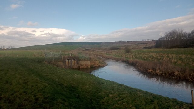
The village of Wervin is small and has a population of around 200 residents. It is predominantly a rural area with a mix of residential and agricultural land. The landscape is characterized by open fields, farmland, and some wooded areas.
The village has a close-knit community and a friendly atmosphere. It features a few amenities, including a local pub and a village hall. The pub serves as a social hub for residents and visitors, providing a place to relax and socialize. The village hall hosts various community events and gatherings throughout the year.
Wervin is well-connected to nearby towns and cities via road networks. The A56 road runs to the west of the parish, providing easy access to Chester and other major destinations. The village is also served by a regular bus service, allowing residents to travel conveniently to surrounding areas.
Overall, Wervin is a peaceful and picturesque civil parish, offering a tranquil countryside setting for its residents. Its proximity to Chester and other neighboring towns provides a good balance between rural living and access to urban amenities.
If you have any feedback on the listing, please let us know in the comments section below.
Wervin Images
Images are sourced within 2km of 53.242075/-2.861368 or Grid Reference SJ4272. Thanks to Geograph Open Source API. All images are credited.


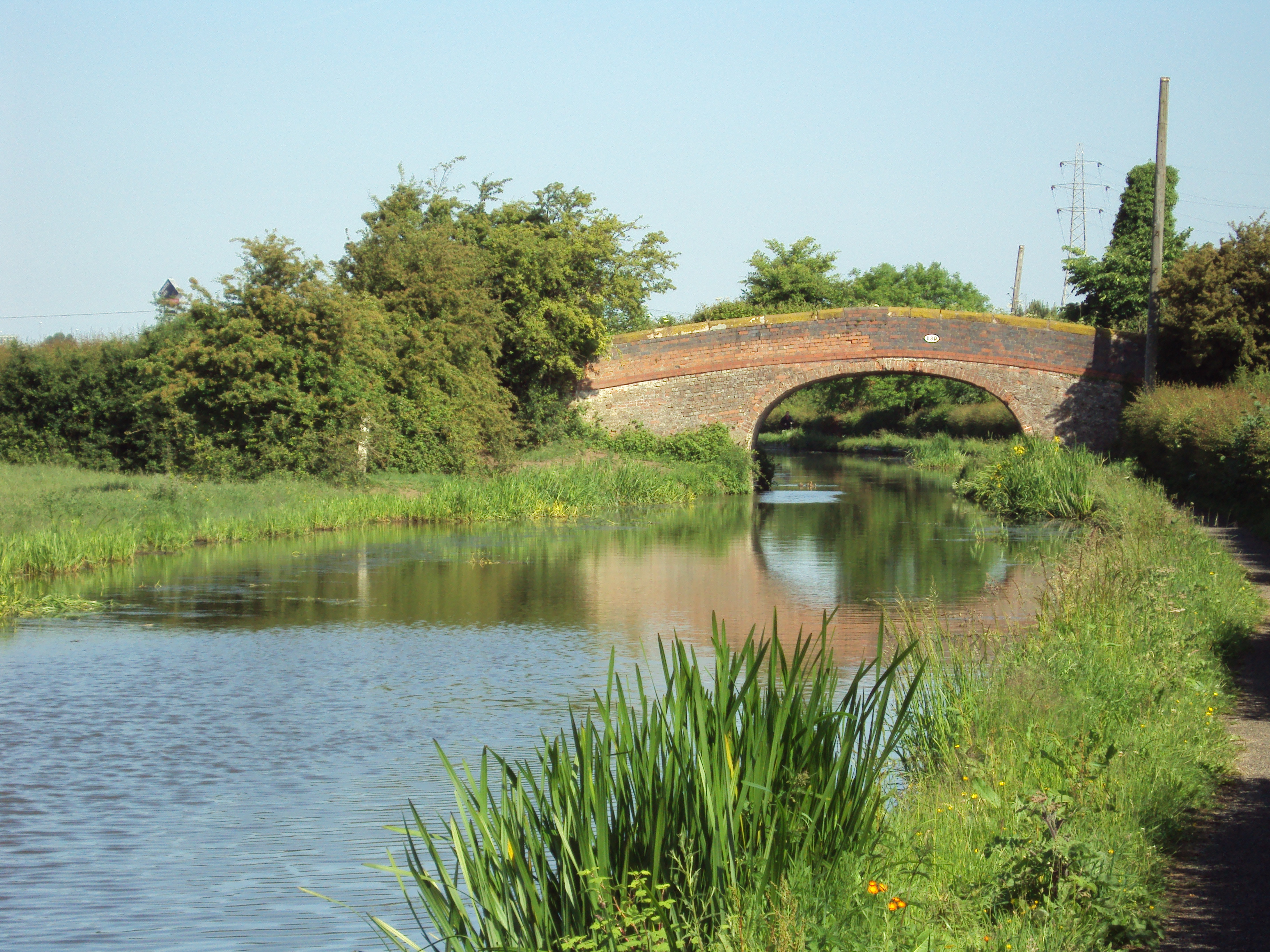
![Caughall Bridge [no 134], from the south-west Carrying a minor road over the Shropshire Union canal.](https://s3.geograph.org.uk/geophotos/07/55/97/7559727_a5f8f1ff.jpg)
![Power lines crossing the Shropshire Union canal Just north of Caughall Bridge [no 134].](https://s1.geograph.org.uk/geophotos/07/55/97/7559729_cb151a7e.jpg)


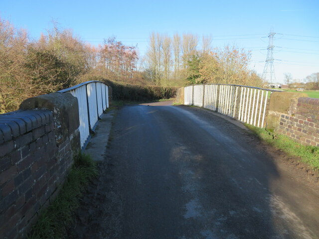
![Croughton Bridge [no 135] from the south Carrying Wervin Road over the Shropshire Union canal.](https://s1.geograph.org.uk/geophotos/07/55/97/7559773_0a7fbbd2.jpg)

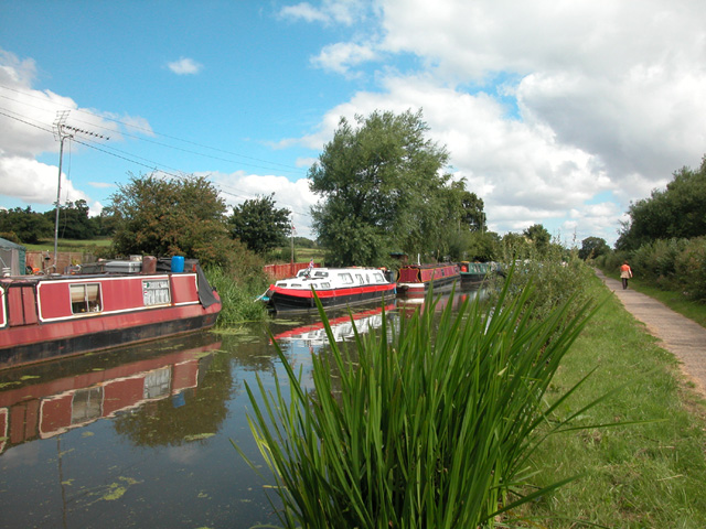
![Picton Lane bridge [no 136], from the south-west Originally a road bridge over the Shropshire Union canal near Stoak. Now a footbridge, as vehicles now use the newer bridge behind.](https://s2.geograph.org.uk/geophotos/07/55/97/7559790_6254c75e.jpg)
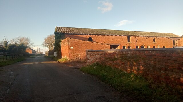
![Bridge Farm, Stoak On the west bank of the Shropshire Union canal, near Picton Lane Bridge [no 136].](https://s1.geograph.org.uk/geophotos/07/55/98/7559801_e3ce1d46.jpg)

Wervin is located at Grid Ref: SJ4272 (Lat: 53.242075, Lng: -2.861368)
Unitary Authority: Cheshire West and Chester
Police Authority: Cheshire
What 3 Words
///waltzes.picnic.suggested. Near Stoke, Cheshire
Related Wikis
Wervin
Wervin is a small village and civil parish in the unitary authority of Cheshire West and Chester and the ceremonial county of Cheshire, England. It is...

Croughton, Cheshire
Croughton is a hamlet and civil parish on the outskirts and 3.5 miles (5.7 km) north of the city of Chester, and part of the unitary authority of Cheshire...
Stoak
Stoak is a small village and civil parish in the unitary authority of Cheshire West and Chester; and the ceremonial county of Cheshire, England. Within...
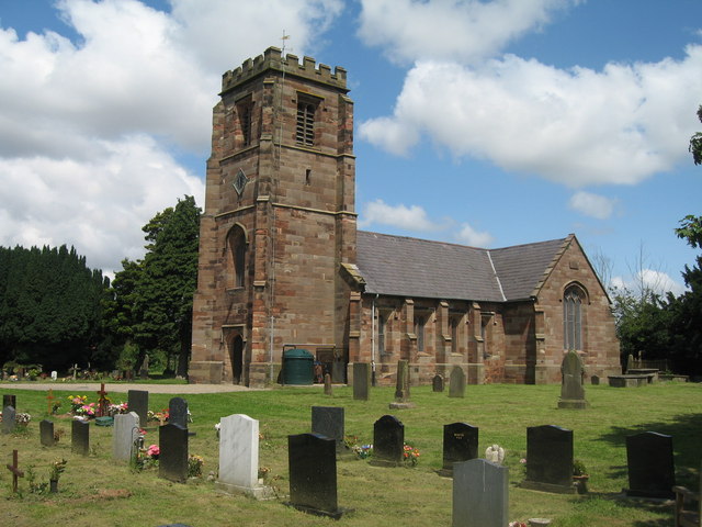
St Lawrence's Church, Stoak
St Lawrence's Church is in the village of Stoak, Cheshire, England, (which lies between the intersection of the M56 and M53 motorways and the Shropshire...
Nearby Amenities
Located within 500m of 53.242075,-2.861368Have you been to Wervin?
Leave your review of Wervin below (or comments, questions and feedback).