Waterhouses
Civil Parish in Staffordshire Staffordshire Moorlands
England
Waterhouses
Waterhouses is a civil parish located in the Staffordshire Moorlands district of Staffordshire, England. Situated at the southern edge of the Peak District National Park, it covers an area of approximately 7.5 square miles. The parish is named after the Waterhouses family, who were prominent landowners in the area during the medieval period.
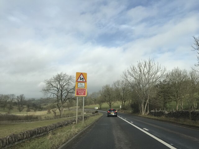
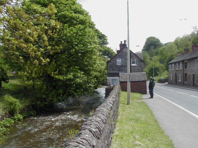
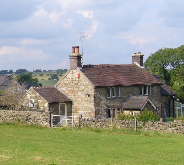
The village of Waterhouses is the main settlement within the parish, with a population of around 2,000 residents. It is located on the A523 road, which runs between Leek and Ashbourne. The village is well-served by amenities, including a primary school, a post office, a convenience store, and several pubs and restaurants.
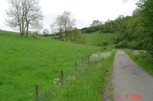
Waterhouses is surrounded by picturesque countryside, making it a popular destination for outdoor enthusiasts. The nearby Manifold Valley is renowned for its stunning scenery and offers opportunities for walking, cycling, and fishing. The Tittesworth Reservoir, located just north of the village, is a popular spot for water sports and bird watching.
The parish also boasts a rich industrial heritage. In the 19th century, Waterhouses was a hub for the limestone quarrying industry, with several quarries operating in the area. The remains of these quarries can still be seen today, along with the old lime kilns that were used to process the limestone.
Overall, Waterhouses is a charming rural parish with a strong sense of community and a wealth of natural beauty to explore.
If you have any feedback on the listing, please let us know in the comments section below.
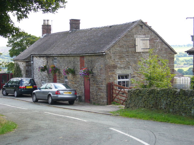
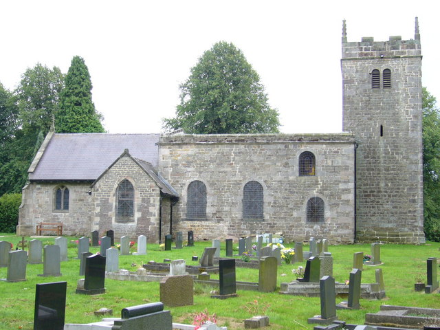
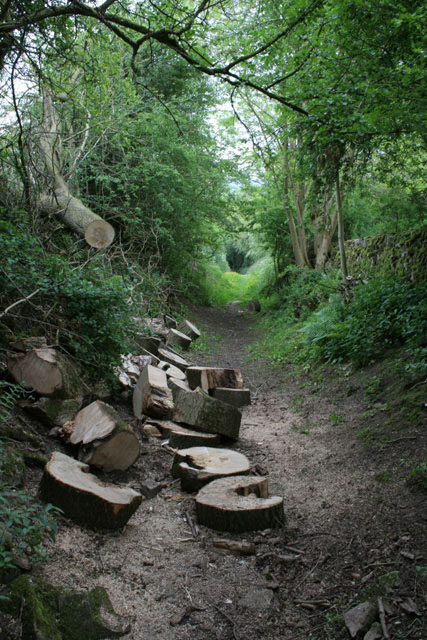
Waterhouses Images
Images are sourced within 2km of 53.059411/-1.870586 or Grid Reference SK0851. Thanks to Geograph Open Source API. All images are credited.


Waterhouses is located at Grid Ref: SK0851 (Lat: 53.059411, Lng: -1.870586)
Administrative County: Staffordshire
District: Staffordshire Moorlands
Police Authority: Staffordshire
What 3 Words
///affirming.handwriting.hatch. Near Mayfield, Staffordshire
Nearby Locations
Related Wikis

Sparrowlee railway station
Sparrowlee was the name of a railway station on the Leek and Manifold Valley Light Railway, a 2 ft 6 in (762 mm) narrow gauge line which ran for 8 miles...

Waterhouses, Staffordshire
Waterhouses is a village in the south of the Staffordshire Peak District in England. It is around 8 miles from Leek and Ashbourne, being nearly the halfway...
Waterhouses railway station (Staffordshire)
Waterhouses railway station was a railway station that served the village of Waterhouses, Staffordshire. It was opened jointly by the North Staffordshire...
Back o'th' Brook
Back o'th' Brook is a village in Staffordshire, England. The population for the 2011 census can be found under Waterhouses
Brown End Quarry
Brown End Quarry is a nature reserve of the Staffordshire Wildlife Trust, near the village of Waterhouses in Staffordshire, England. It is designated a...
Leek and Manifold Valley Light Railway
The Leek and Manifold Valley Light Railway (L&MVLR) was a narrow gauge railway in Staffordshire, England that operated between 1904 and 1934. The line...

Calton, Staffordshire
Calton is a village and a former parochial chapelry and civil parish, now in the parish of Waterhouses, in the Staffordshire Moorlands district of Staffordshire...

Cauldon
Cauldon or Caldon is a village and former civil parish, 19 miles (31 km) north east of Stafford, now in the parish of Waterhouses, in the Staffordshire...
Related Videos
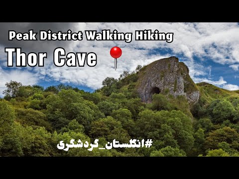
Uk England walking Hiking from Manchester to Thor cave in Peak District
ukhiking #ukhikers #ukcave Uk England walking Hiking from Manchester to Thor cave in Peak District Hi my friends , thank you for ...

Unique Thor's Cave in Peak District! - Walking tour | 4K
Thor's Cave is a natural cavern located in the Manifold Valley. It is set in a steep limestone crag, with its huge arched entrance ...

Skating, Hiking & Wild Camping through the Peak District
This has to be one of my favourite wild camping trips, I knew about the long path past Thor's cave so I brought my skates for the ...

Best Beautiful WatetFalls In the World |Walking In Nature
Best Beautiful WatetFalls In the World |Walking In Nature most beautiful waterfalls in the world,beautiful waterfall in the world,best ...
Nearby Amenities
Located within 500m of 53.059411,-1.870586Have you been to Waterhouses?
Leave your review of Waterhouses below (or comments, questions and feedback).