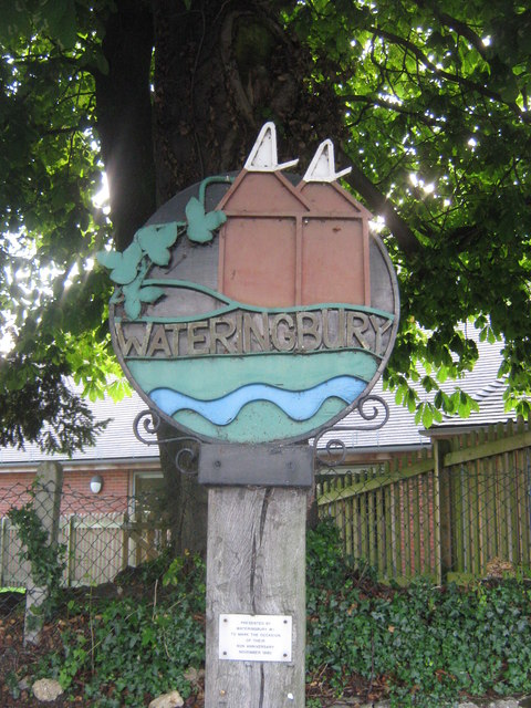
Wateringbury
Civil Parish in Kent Tonbridge and Malling
England
Wateringbury

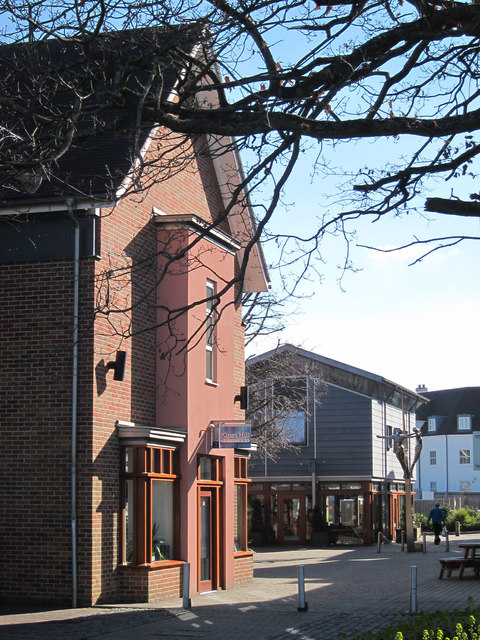
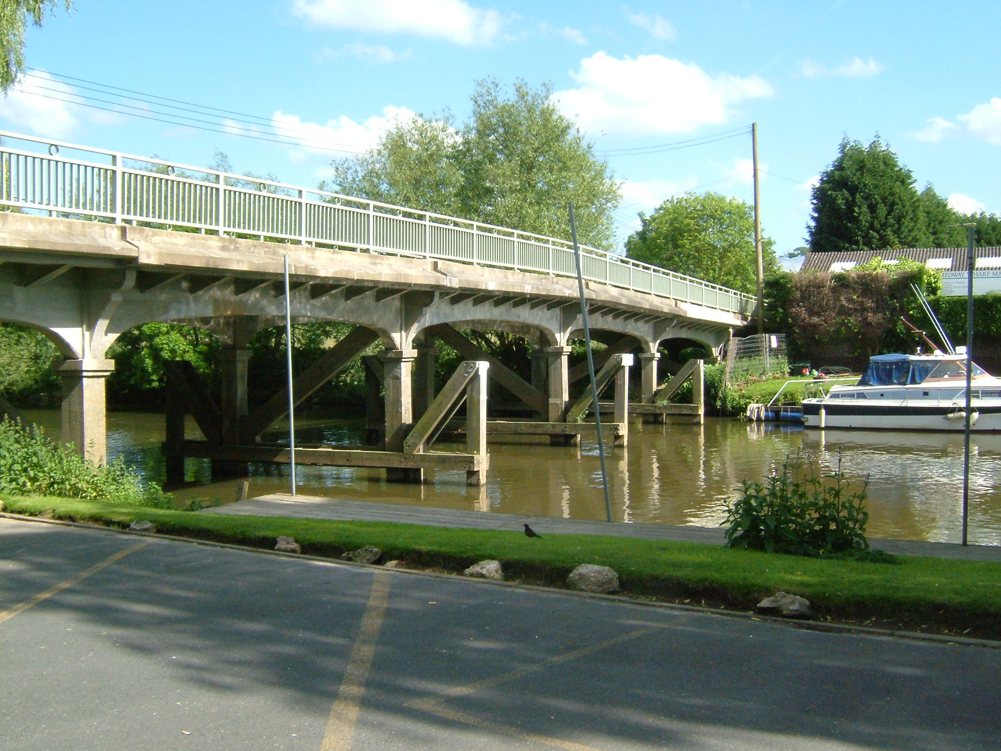
Wateringbury is a civil parish located in the county of Kent in southeastern England. Situated along the River Medway, the village of Wateringbury is known for its picturesque countryside and historic buildings. The parish includes the villages of Wateringbury and Nettlestead, as well as the hamlets of Bow Road and Teston.
Wateringbury is home to a number of listed buildings, including the Grade I listed St. John the Baptist Church, which dates back to the 14th century. The village also has a primary school, a village hall, and a pub, providing essential amenities for its residents.
The surrounding area offers plenty of opportunities for outdoor activities, with numerous walking and cycling paths along the river and through the surrounding countryside. The nearby Teston Bridge Country Park provides a peaceful retreat for nature lovers, with its scenic views and wildlife habitats.
Overall, Wateringbury is a charming and idyllic village that offers a peaceful rural lifestyle within easy reach of the amenities of larger towns and cities in the region.
If you have any feedback on the listing, please let us know in the comments section below.
Wateringbury Images
Images are sourced within 2km of 51.259426/0.408832 or Grid Reference TQ6853. Thanks to Geograph Open Source API. All images are credited.


Wateringbury is located at Grid Ref: TQ6853 (Lat: 51.259426, Lng: 0.408832)
Administrative County: Kent
District: Tonbridge and Malling
Police Authority: Kent
What 3 Words
///schematic.airtime.sailors. Near Wateringbury, Kent
Nearby Locations
Related Wikis

Wateringbury SSSI
Wateringbury SSSI is a 0.2-hectare (0.49-acre) geological Site of Special Scientific Interest in Wateringburym west of Maidstone in Kent. It is a Geological...
Wateringbury
Wateringbury is a village and civil parish near the town of Maidstone in Kent, England. The Wateringbury Stream flows into the River Medway just above...

RAF West Malling
Royal Air Force West Malling or more simply RAF West Malling is a former Royal Air Force station located 1.6 miles (2.6 km) south of West Malling, Kent...
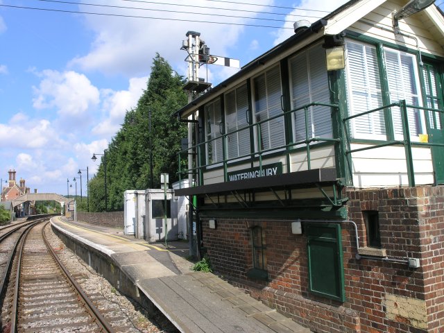
Wateringbury railway station
Wateringbury railway station is on the Medway Valley Line in Kent, England, serving the villages of Wateringbury and Nettlestead. It is 39 miles 77 chains...
Nearby Amenities
Located within 500m of 51.259426,0.408832Have you been to Wateringbury?
Leave your review of Wateringbury below (or comments, questions and feedback).