Watermead

Civil Parish in Buckinghamshire

England

Watermead

A4157 Douglas Road
A4157 Douglas Road Credit: Colin Pyle

Watermead is a civil parish located in the county of Buckinghamshire, England. Situated on the outskirts of the town of Aylesbury, Watermead covers an area of approximately 2.5 square kilometers. The parish is primarily residential, with a population of around 3,000 people.

Watermead is known for its picturesque landscape, with several lakes and green spaces that attract both residents and visitors. The centerpiece of the area is the Watermead Lake, a man-made lake that spans over 60 hectares. The lake offers various recreational activities, including fishing, bird-watching, and boating.

The parish also features a network of footpaths and cycle routes, making it a popular destination for outdoor enthusiasts. The paths meander through the lakeside, providing scenic views and opportunities for leisurely strolls or bike rides.

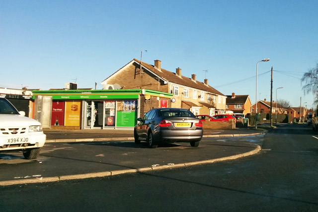
In terms of amenities, Watermead is well-served by a range of facilities. It has a primary school, a community center, and a local shopping center, offering convenience to its residents. Additionally, the nearby town of Aylesbury provides further amenities, including secondary schools, healthcare services, and a wider range of shopping and entertainment options.

Transport links in Watermead are excellent, with easy access to major roads such as the A41 and A418. The town of Aylesbury is also well-connected by regular bus services, providing connections to surrounding areas.

Overall, Watermead offers a peaceful and scenic living environment, with its lakeside setting and abundance of outdoor activities. Its proximity to Aylesbury ensures that residents have access to all necessary amenities while enjoying the tranquility of the countryside.

If you have any feedback on the listing, please let us know in the comments section below.
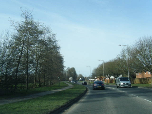
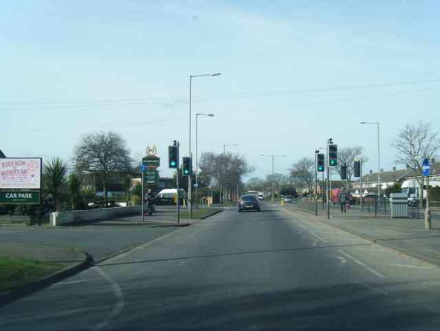
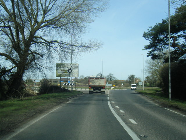
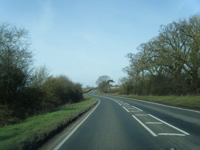
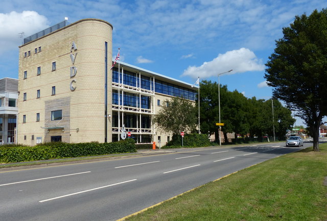
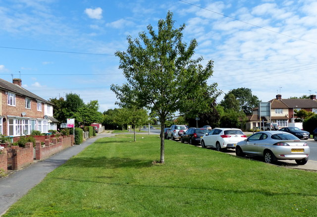
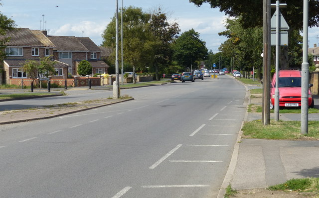
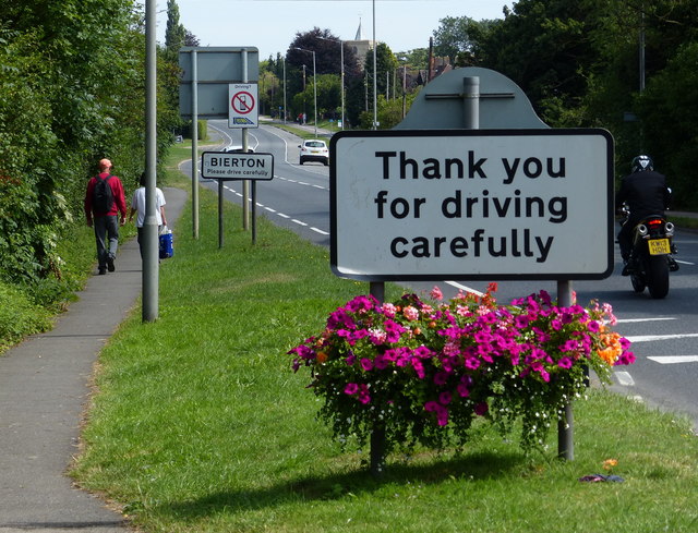
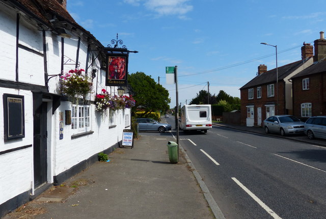
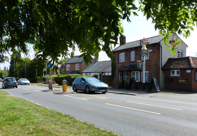
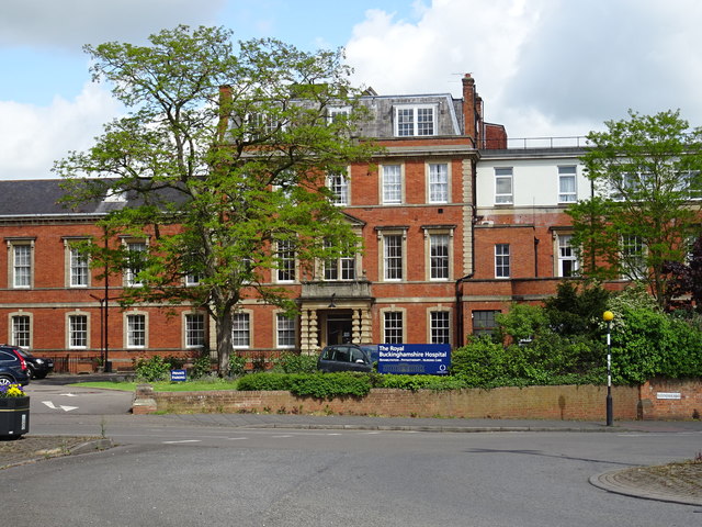
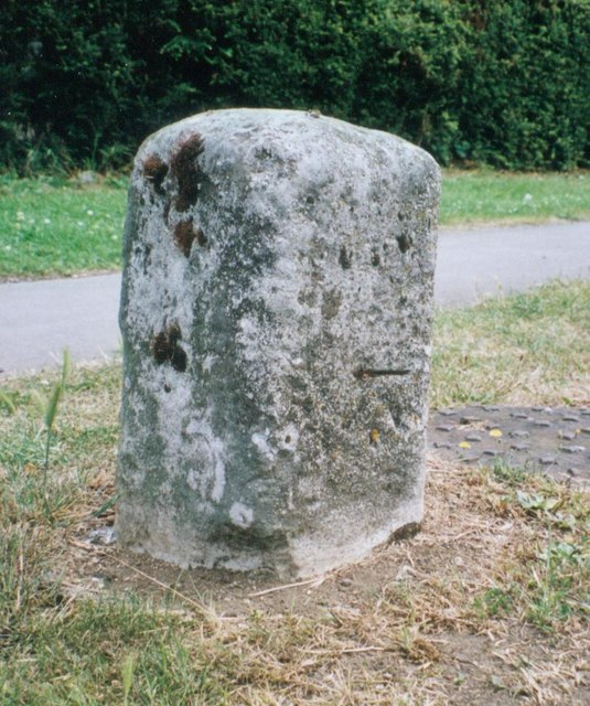
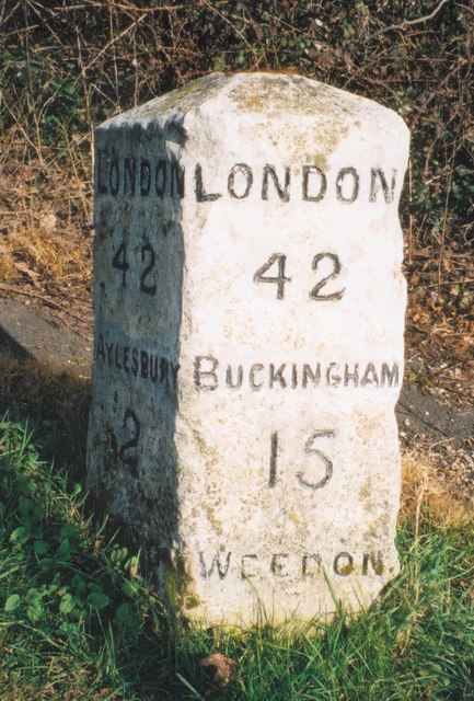
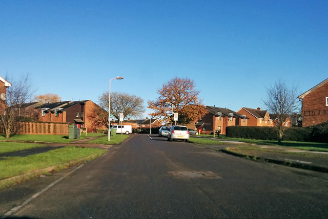
Watermead Images

Images are sourced within 2km of 51.834632/-0.807982 or Grid Reference SP8215. Thanks to Geograph Open Source API. All images are credited.

A4157 Douglas Road
A4157 Douglas Road
A4157 Elmhurst Road at The Dairy Maid public house
A413 Buckingham Road leaving Aylesbury
A413 north of Weedon Hill
The Harrow on Cambridge Street
Aylesbury Vale District Council Next to the A41 in Aylesbury.
Aylesbury Vale District Council
Next to the A41 in Aylesbury.
Haydon Road in Aylesbury
Elmhurst Road in Aylesbury
Path along the A418 Aylesbury Road in Bierton
The Red Lion on Aylesbury Road, Bierton
The Bell in Bierton A Fuller's public house along the A418 Aylesbury Road.
The Bell in Bierton
A Fuller's public house along the A418 Aylesbury Road.
Derelict building by the canal
Royal Buckinghamshire Hospital (Buckinghamshire Infirmary) Founded as a private subscription hospital in 1832 in response to a cholera epidemic. The current building dates from 1862 and the design was influenced by Florence Nightingale. The building was used as an Auxiliary Hospital during the Great War. Later used as a General Hospital and spinal injury unit it has reverted to a private hospital.
Royal Buckinghamshire Hospital (Buckinghamshire Infirmary)
Founded as a private subscription hospital in 1832 in response to a cholera epidemic. The current building dates from 1862 and the design was influenced by Florence Nightingale. The building was used as an Auxiliary Hospital during the Great War. Later used as a General Hospital and spinal injury unit it has reverted to a private hospital.
Demolishing the Odeon Cinema in Cambridge Street The Odeon opened in June 1937 and closed in 1999. The site will developed with 49 retirement apartments.
Demolishing the Odeon Cinema in Cambridge Street
The Odeon opened in June 1937 and closed in 1999. The site will developed with 49 retirement apartments.
Old Milestone by the A413 in Aylesbury Carved stone post by the A413, in parish of Aylesbury (Aylesbury Vale District), Buckingham Road; by No. 215, in Manor Park, South of by-pass roundabout, on wide well cut grass verge; between footpath and drive, on East side of road. Aylesbury square, erected by the Wendover & Buckingham turnpike trust in the 18th century. 

Inscription once read:-
: (Buckingham / 16) : : (Aylesbury / 1) :  
Carved benchmark lower front.  

Buckinghamshire HER.
HER Number: 1358400000 <span class="nowrap"><a title="https://www.heritagegateway.org.uk/Gateway/Results_Single.aspx?uid=MBC25738&resourceID=1024" rel="nofollow ugc noopener" href="https://www.heritagegateway.org.uk/Gateway/Results_Single.aspx?uid=MBC25738&resourceID=1024">Link</a><img style="margin-left:2px;" alt="External link" title="External link - shift click to open in new window" src="https://s1.geograph.org.uk/img/external.png" width="10" height="10"/></span>

Milestone Society National ID: BU_LC40
Old Milestone by the A413 in Aylesbury
Carved stone post by the A413, in parish of Aylesbury (Aylesbury Vale District), Buckingham Road; by No. 215, in Manor Park, South of by-pass roundabout, on wide well cut grass verge; between footpath and drive, on East side of road. Aylesbury square, erected by the Wendover & Buckingham turnpike trust in the 18th century. Inscription once read:- : (Buckingham / 16) : : (Aylesbury / 1) : Carved benchmark lower front. Buckinghamshire HER. HER Number: 1358400000 LinkExternal link Milestone Society National ID: BU_LC40
Old Milestone by the A413 at Weedon Hill Carved stone post by the A413, in parish of Weedon (Aylesbury Vale District), Weedon Hill Farm, by bus stop, on grass verge between road and tarmac footpath, on East side of road. Aylesbury square, erected by the Wendover & Buckingham turnpike trust in the 18th century. 

Inscription reads:-
: LONDON / 42 / AYLESBURY / 2 / WEEDON : : LONDON / 42 / BUCKINGHAM / 15 / WEEDON : 
Carved benchmark on top back. 

Buckinghamshire HER.
HER Number: 1358300000 <span class="nowrap"><a title="https://www.heritagegateway.org.uk/Gateway/Results_Single.aspx?uid=MBC25737&resourceID=1024" rel="nofollow ugc noopener" href="https://www.heritagegateway.org.uk/Gateway/Results_Single.aspx?uid=MBC25737&resourceID=1024">Link</a><img style="margin-left:2px;" alt="External link" title="External link - shift click to open in new window" src="https://s1.geograph.org.uk/img/external.png" width="10" height="10"/></span>

Milestone Society National ID: BU_LC42
Old Milestone by the A413 at Weedon Hill
Carved stone post by the A413, in parish of Weedon (Aylesbury Vale District), Weedon Hill Farm, by bus stop, on grass verge between road and tarmac footpath, on East side of road. Aylesbury square, erected by the Wendover & Buckingham turnpike trust in the 18th century. Inscription reads:- : LONDON / 42 / AYLESBURY / 2 / WEEDON : : LONDON / 42 / BUCKINGHAM / 15 / WEEDON : Carved benchmark on top back. Buckinghamshire HER. HER Number: 1358300000 LinkExternal link Milestone Society National ID: BU_LC42
Stonehaven Road, Aylesbury Leading up to Holland Road, left, and Coventon Road, right.
Stonehaven Road, Aylesbury
Leading up to Holland Road, left, and Coventon Road, right.
Corner shop, Aylesbury A Londis newsagents/off-licence/groceries store at the corner of Coventon Road and St Peter's Drive.
Corner shop, Aylesbury
A Londis newsagents/off-licence/groceries store at the corner of Coventon Road and St Peter's Drive.
Show me another place!

Watermead is located at Grid Ref: SP8215 (Lat: 51.834632, Lng: -0.807982)

Unitary Authority: Buckinghamshire

Police Authority: Thames Valley

What 3 Words

///horseshoe.debating.jars. Near Aylesbury, Buckinghamshire

Nearby Locations

Watermead Watermead

Related Wikis

Watermead, Buckinghamshire

Watermead is a village situated to the north of Aylesbury in Buckinghamshire, England. It is a civil parish and forms part of the Aylesbury Urban Area...

A413 road

The A413 is a major road in England that runs between Denham (west of London) to Towcester (northwest of Milton Keynes). It passes through or near various...

Battle of Aylesbury

The Battle of Aylesbury was an engagement which took place on 1 November 1642, when Royalist forces, under the command of Prince Rupert, fought Aylesbury...

Holman's Bridge

Holman's Bridge is a brick-built bridge on the A413 to the north of Aylesbury in Buckinghamshire, England. It is where the A413 road crosses the River...

Nearby Amenities

Located within 500m of 51.834632,-0.807982
Source: survey
Lat/Long: 51.8311169/-0.8036295
Source: survey
Lat/Long: 51.8312389/-0.8032615
Source: survey
Lat/Long: 51.8313118/-0.8038027
Source: survey
Lat/Long: 51.8311804/-0.8041636
Source: survey
Lat/Long: 51.8310175/-0.8047907
Source: survey
Lat/Long: 51.8345923/-0.8059323
Watermead
Place: suburb
Wikidata: Q2918309
Wikipedia: en:Watermead, Buckinghamshire
Lat/Long: 51.8325098/-0.8058077
Post Box
Brand: Royal Mail
Brand Wikidata: Q638098
Brand Wikipedia: en:Royal Mail
Collection Times: Mo-Fr 17:30; Sa 12:00
Operator: Royal Mail
Operator Wikidata: Q638098
Post Box Type: pillar
Ref: HP19 15
Royal Cypher: EIIR
Royal Cypher Wikidata: Q33102113
Source: survey
Survey Date: 2015-04-18
Lat/Long: 51.8319917/-0.8057068
Turning Circle
Lat/Long: 51.8320635/-0.8030089
Turning Circle
Lat/Long: 51.8325628/-0.8031859
Turning Circle
Lat/Long: 51.8329307/-0.806549
Barrier: bollard
Bicycle: yes
Foot: yes
Lat/Long: 51.8334256/-0.8043888
Barrier: bollard
Bicycle: yes
Foot: yes
Lat/Long: 51.8334949/-0.8045022
Turning Circle
Lat/Long: 51.8335823/-0.8044917
Barrier: bollard
Motor Vehicle: no
Lat/Long: 51.8348733/-0.8052023
Turning Circle
Lat/Long: 51.8352334/-0.8052931
Power: pole
Lat/Long: 51.8317866/-0.8123841
Power: pole
Lat/Long: 51.831702/-0.8125986
Power: pole
Lat/Long: 51.8310291/-0.8118154
Power: pole
Lat/Long: 51.8310921/-0.8116089
Bus Stop
Bus: yes
Public Transport: platform
Source: survey
Survey Date: 2015-04-18
Lat/Long: 51.8321905/-0.8107605
Crossing
Crossing: unmarked
Crossing Island: yes
Crossing Markings: no
Lat/Long: 51.8319645/-0.8083005
Crossing
Crossing: unmarked
Crossing Island: yes
Crossing Markings: no
Lat/Long: 51.8320157/-0.8064917
Leisure: fitness_station
Sport: fitness
Lat/Long: 51.8314078/-0.8090367
Bus Stop
Bus: yes
Naptan AtcoCode: 040000002401
Naptan NaptanCode: bucgdtma
Public Transport: platform
Lat/Long: 51.8317284/-0.804296
Bus Stop
Bus: yes
Naptan AtcoCode: 040000002426
Naptan NaptanCode: bucgdwgw
Public Transport: platform
Lat/Long: 51.83178/-0.8041784
Man Made: pier
Lat/Long: 51.8322819/-0.8065994
Fountain
Lat/Long: 51.8325377/-0.8063703
Bench
Lat/Long: 51.8328589/-0.8095512
Bench
Lat/Long: 51.8329003/-0.8096804
Bench
Lat/Long: 51.8329387/-0.809792
Bench
Lat/Long: 51.83299/-0.8098957
Bench
Lat/Long: 51.8342964/-0.810534
Bench
Lat/Long: 51.8342273/-0.8105018
Bench
Lat/Long: 51.8322925/-0.8083832
Historic: memorial
Memorial: war_memorial
Lat/Long: 51.8330593/-0.8098186
Man Made: pier
Lat/Long: 51.8317255/-0.8081264
Bus Stop
Bus: yes
Naptan AtcoCode: 040000004004
Naptan NaptanCode: bucdtdpj
Public Transport: platform
Lat/Long: 51.8318712/-0.8056549
Artwork Type: statue
Tourism: artwork
Lat/Long: 51.8328063/-0.8049296
Leisure: slipway
Lat/Long: 51.8332652/-0.8101737
Bench
Lat/Long: 51.8349417/-0.8105155
Leaf Cycle: deciduous
Leaf Type: broadleaved
Natural: wood
Lat/Long: 51.8325026/-0.8047171
Leaf Cycle: deciduous
Leaf Type: broadleaved
Natural: wood
Lat/Long: 51.8324287/-0.8047077
Leaf Cycle: deciduous
Leaf Type: broadleaved
Natural: wood
Lat/Long: 51.8323924/-0.8046773
Leaf Cycle: deciduous
Leaf Type: broadleaved
Natural: wood
Lat/Long: 51.8323467/-0.8046432
Leaf Cycle: deciduous
Leaf Type: broadleaved
Natural: wood
Lat/Long: 51.8323069/-0.8046052
Leaf Cycle: deciduous
Leaf Type: broadleaved
Natural: wood
Lat/Long: 51.8322459/-0.8045465
Leaf Cycle: deciduous
Leaf Type: broadleaved
Natural: wood
Lat/Long: 51.8322107/-0.8045009
Leaf Cycle: deciduous
Leaf Type: broadleaved
Natural: wood
Lat/Long: 51.8321697/-0.8044706
Leaf Cycle: deciduous
Leaf Type: broadleaved
Natural: wood
Lat/Long: 51.8321287/-0.8044213
Leaf Cycle: deciduous
Leaf Type: broadleaved
Natural: wood
Lat/Long: 51.8320924/-0.8043928
Leaf Cycle: deciduous
Leaf Type: broadleaved
Natural: wood
Lat/Long: 51.8320619/-0.8043492
Leaf Cycle: deciduous
Leaf Type: broadleaved
Natural: wood
Lat/Long: 51.8320244/-0.8043075
Leaf Cycle: deciduous
Leaf Type: broadleaved
Natural: wood
Lat/Long: 51.8319845/-0.804279
Leaf Cycle: deciduous
Leaf Type: broadleaved
Natural: wood
Lat/Long: 51.8319447/-0.8042354
Leaf Cycle: deciduous
Leaf Type: broadleaved
Natural: wood
Lat/Long: 51.8326163/-0.804829
Leaf Cycle: deciduous
Leaf Type: broadleaved
Natural: wood
Lat/Long: 51.8326491/-0.8046185
Leaf Cycle: deciduous
Leaf Type: broadleaved
Natural: wood
Lat/Long: 51.8320971/-0.8051401
Leaf Cycle: deciduous
Leaf Type: broadleaved
Natural: wood
Lat/Long: 51.8321369/-0.8050756
Leaf Cycle: deciduous
Leaf Type: broadleaved
Natural: wood
Lat/Long: 51.8322084/-0.8049713
Leaf Cycle: deciduous
Leaf Type: broadleaved
Natural: wood
Lat/Long: 51.832056/-0.8053298
Leaf Cycle: deciduous
Leaf Type: broadleaved
Natural: wood
Lat/Long: 51.8321099/-0.8053791
Leaf Cycle: deciduous
Leaf Type: broadleaved
Natural: wood
Lat/Long: 51.8320209/-0.8054568
Leaf Cycle: deciduous
Leaf Type: broadleaved
Natural: wood
Lat/Long: 51.8320256/-0.8053677
Leaf Cycle: deciduous
Leaf Type: broadleaved
Natural: wood
Lat/Long: 51.8320338/-0.8058665
Leaf Cycle: deciduous
Leaf Type: broadleaved
Natural: wood
Lat/Long: 51.8320174/-0.8057584
Leaf Cycle: deciduous
Leaf Type: broadleaved
Natural: wood
Lat/Long: 51.8321017/-0.8060656
Leaf Cycle: deciduous
Leaf Type: broadleaved
Natural: wood
Lat/Long: 51.83209/-0.8061624
Leaf Cycle: deciduous
Leaf Type: broadleaved
Natural: wood
Lat/Long: 51.8320631/-0.8062079
Leaf Cycle: deciduous
Leaf Type: broadleaved
Natural: wood
Lat/Long: 51.8320666/-0.8062591
Leaf Cycle: deciduous
Leaf Type: broadleaved
Natural: wood
Lat/Long: 51.832049/-0.8061737
Leaf Cycle: deciduous
Leaf Type: broadleaved
Natural: wood
Lat/Long: 51.8327804/-0.805307
Leaf Cycle: deciduous
Leaf Type: broadleaved
Natural: wood
Lat/Long: 51.832744/-0.8052691
Leaf Cycle: deciduous
Leaf Type: broadleaved
Natural: wood
Lat/Long: 51.8327018/-0.8052387
Leaf Cycle: deciduous
Leaf Type: broadleaved
Natural: wood
Lat/Long: 51.8326866/-0.8053791
Leaf Cycle: deciduous
Leaf Type: broadleaved
Natural: wood
Lat/Long: 51.8326737/-0.8054398
Leaf Cycle: deciduous
Leaf Type: broadleaved
Natural: wood
Lat/Long: 51.8326632/-0.8055137
Pub
Aeglesburgh @ the Watermead Inn
Outdoor Seating: yes
Lat/Long: 51.8323138/-0.8062217
Shop: convenience
Lat/Long: 51.8327252/-0.8063203
Fast Food
Cuisine: chinese
Lat/Long: 51.8327381/-0.8062236
Shop: hairdresser
Lat/Long: 51.8327545/-0.8060832
Shop: florist
Lat/Long: 51.8327487/-0.8061496
Shop: yes
Lat/Long: 51.8327194/-0.806398
Community Centre
Lat/Long: 51.8327745/-0.8059808
Dentist
Healthcare: dentist
Lat/Long: 51.8326326/-0.8059049
Crossing
Crossing: unmarked
Crossing Markings: no
Lat/Long: 51.8319758/-0.8117109
Turning Circle
Lat/Long: 51.8335552/-0.8064914
Direction: 205
Generator Method: photovoltaic
Generator Output Electricity: yes
Generator Solar Modules: 14
Generator Source: solar
Generator Type: solar_photovoltaic_panel
Location: roof
Power: generator
Lat/Long: 51.835384/-0.8056589
Direction: 55
Generator Method: photovoltaic
Generator Output Electricity: yes
Generator Solar Modules: 4
Generator Source: solar
Generator Type: solar_photovoltaic_panel
Location: roof
Power: generator
Lat/Long: 51.8355561/-0.8075206
Direction: 145
Generator Method: photovoltaic
Generator Output Electricity: yes
Generator Solar Modules: 9
Generator Source: solar
Generator Type: solar_photovoltaic_panel
Location: roof
Power: generator
Lat/Long: 51.835442/-0.807421
Crossing
Crossing: unmarked
Crossing Markings: no
Lat/Long: 51.8321044/-0.8048569
Direction: 235
Generator Method: photovoltaic
Generator Output Electricity: yes
Generator Solar Modules: 20
Generator Source: solar
Generator Type: solar_photovoltaic_panel
Location: roof
Power: generator
Lat/Long: 51.8324096/-0.8038884
Direction: 250
Generator Method: photovoltaic
Generator Output Electricity: yes
Generator Solar Modules: 12
Generator Source: solar
Generator Type: solar_photovoltaic_panel
Location: roof
Power: generator
Lat/Long: 51.8343407/-0.8049596
Barrier: swing_gate
Lat/Long: 51.837075/-0.8078193
Bench
Backrest: yes
Material: wood
Lat/Long: 51.8360427/-0.809605
Bench
Backrest: yes
Material: wood
Lat/Long: 51.8360658/-0.8099755
Country: GB
Flag Type: national
Man Made: flagpole
Not Flag Wikidata: Q83278
Lat/Long: 51.8330039/-0.8097479
Addr Country: GB
Addr Housenumber: 3
Addr Street: Watermeadow
Lat/Long: 51.8318432/-0.8040103
Addr Country: GB
Addr Housenumber: 16
Addr Street: Watermeadow
Lat/Long: 51.8316923/-0.8044447
Crossing
Crossing: unmarked
Crossing Markings: no
Lat/Long: 51.8313376/-0.8046022
Crossing
Crossing: unmarked
Crossing Island: no
Crossing Markings: no
Tactile Paving: no
Lat/Long: 51.8312892/-0.8038648
Crossing
Lat/Long: 51.8311434/-0.8035534
Crossing
Lat/Long: 51.8320207/-0.8038165
The data included in this document is from www.openstreetmap.org. The data is made available under ODbL.

Have you been to Watermead?

Leave your review of Watermead below (or comments, questions and feedback).