Watermead

Settlement in Buckinghamshire

England

Watermead

Petrol station on Haydon Road, Aylesbury Sadly low prices are now £1.33 a litre. A year ago it was £1.10
Petrol station on Haydon Road, Aylesbury Credit: David Howard

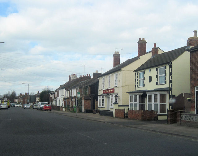
Watermead is a small village located in Buckinghamshire, England. Situated approximately 3 miles north of Aylesbury, the village is nestled between the Aylesbury Arm of the Grand Union Canal and the River Thame. With a population of around 1,500 residents, Watermead offers a peaceful and picturesque environment.

The village is known for its stunning natural beauty, with several lakes and green spaces that provide ample opportunities for outdoor activities. The Watermead Lake, in particular, is a popular spot for fishing, birdwatching, and leisurely walks. The village also boasts a nature reserve, which is home to a diverse range of flora and fauna.

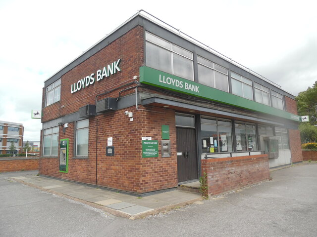
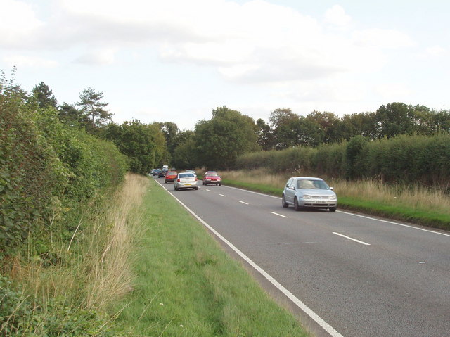
Watermead benefits from excellent transport links, with easy access to major roadways such as the A41 and M40. The nearby town of Aylesbury provides various amenities, including shopping centers, restaurants, and schools. Additionally, the village is well-served by public transportation, making it convenient for commuters and visitors alike.

Residents of Watermead enjoy a tight-knit community spirit, with several local clubs and organizations that promote social engagement and recreational activities. The village also hosts regular events and festivals throughout the year, bringing the community together.

Overall, Watermead offers a tranquil and idyllic setting for those seeking a peaceful village lifestyle. Its natural surroundings, convenient location, and strong sense of community make it an attractive place to live or visit.

If you have any feedback on the listing, please let us know in the comments section below.
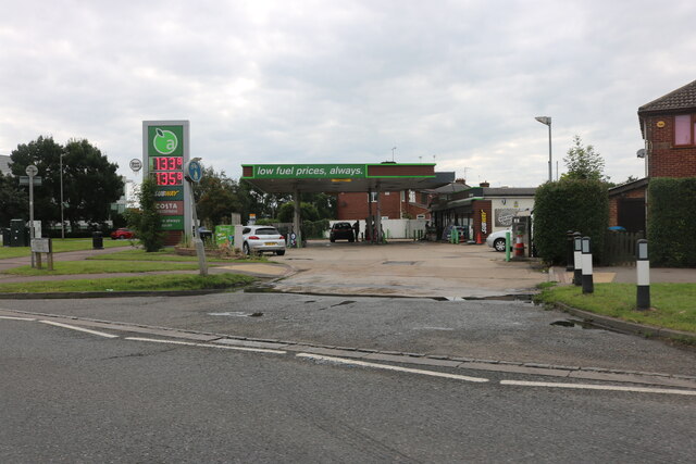
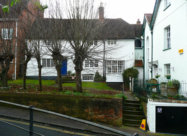
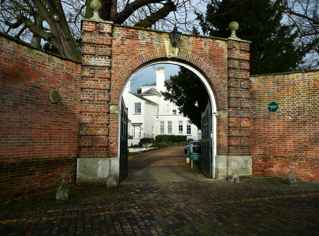
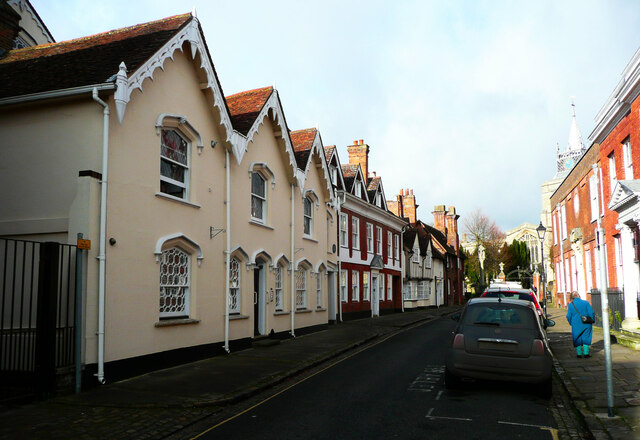
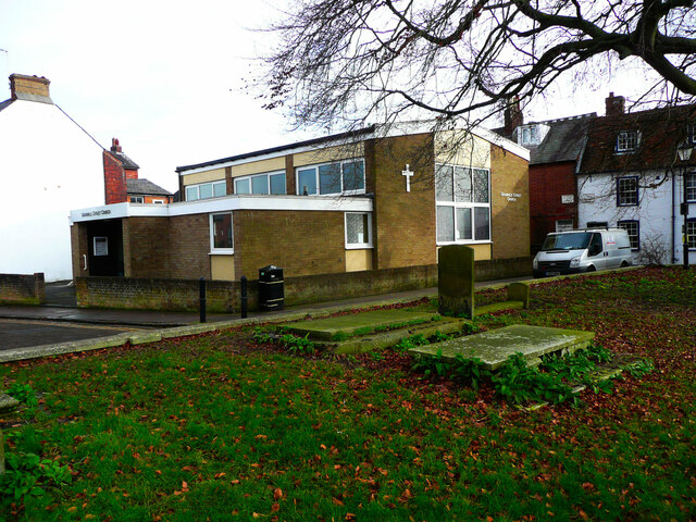
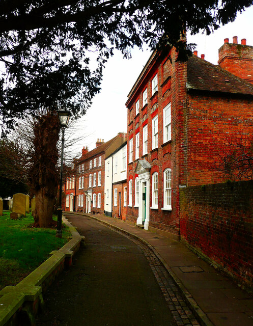
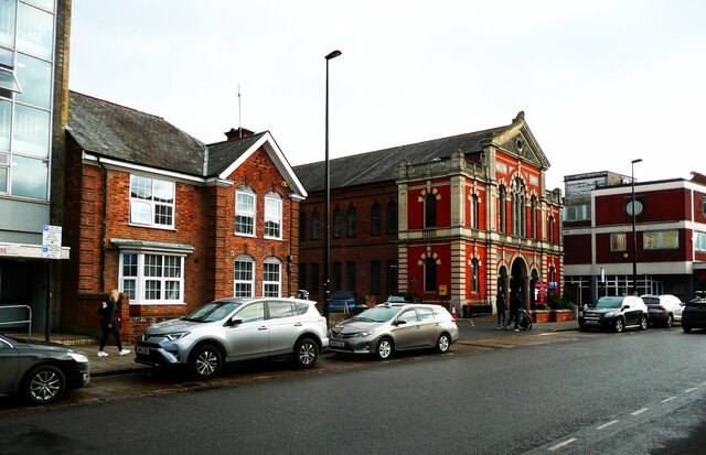
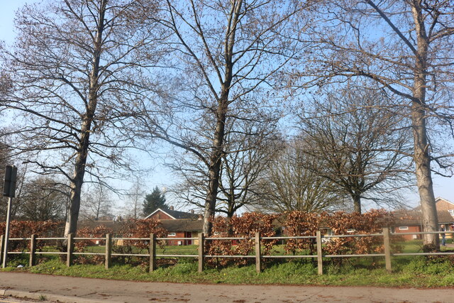
Watermead Images

Images are sourced within 2km of 51.832144/-0.80471937 or Grid Reference SP8215. Thanks to Geograph Open Source API. All images are credited.

Petrol station on Haydon Road, Aylesbury Sadly low prices are now £1.33 a litre. A year ago it was £1.10
Petrol station on Haydon Road, Aylesbury
Sadly low prices are now £1.33 a litre. A year ago it was £1.10
Two new villages in Aylesbury The green field site is still clear and growing thick. The signs have been up since 2016 so probably no longer active, the example house looks like a 17th century working man's cottage.
Two new villages in Aylesbury
The green field site is still clear and growing thick. The signs have been up since 2016 so probably no longer active, the example house looks like a 17th century working man's cottage.
Market Square, Aylesbury Surprisingly, it seems that the clock tower is not listed by Historic England.
Market Square, Aylesbury
Surprisingly, it seems that the clock tower is not listed by Historic England.
Houses facing a triangle, Castle Street, Aylesbury
Arched entrance to Prebendal House This gateway is listed, Grade II.
Arched entrance to Prebendal House
This gateway is listed, Grade II.
Temple Square, Aylesbury The buildings are all listed, Grade II. The Queen's Head was built in the 17C.
Temple Square, Aylesbury
The buildings are all listed, Grade II. The Queen's Head was built in the 17C.
Church Street, Aylesbury There are many listed buildings on this street. On the left  a 15C house refronted in the early 19C with fancy bargeboards, Grade II. Next is a 15C to 16C house with an 18C front and 19C dormers, listed Grade II star, then a 16C house refronted in the 18C but still showing the timber framing, Grade II.
Church Street, Aylesbury
There are many listed buildings on this street. On the left a 15C house refronted in the early 19C with fancy bargeboards, Grade II. Next is a 15C to 16C house with an 18C front and 19C dormers, listed Grade II star, then a 16C house refronted in the 18C but still showing the timber framing, Grade II.
Pebble Lane, Aylesbury A rather pedantic application of double yellow lines.
Pebble Lane, Aylesbury
A rather pedantic application of double yellow lines.
Granville Street Church An independent evangelical family church.
Granville Street Church
An independent evangelical family church.
St Mary's Square, Aylesbury The nearest building is the Derby Arms, which has an 18C front to an older building and is listed, Grade II star. It is no longer a pub.
St Mary's Square, Aylesbury
The nearest building is the Derby Arms, which has an 18C front to an older building and is listed, Grade II star. It is no longer a pub.
Information plaque for the Charity Statue, Aylesbury
Charity Statue in the museum garden, Aylesbury This was sculpted by Judy Cowper to commemorate the 300th anniversary of William Harding's Charity, which provided grants for apprenticeships and education for young people and 35 almshouses in the town centre. See <a href="https://www.geograph.org.uk/photo/7102173">SP8113 : Information plaque for the Charity Statue, Aylesbury</a> for further information.
Charity Statue in the museum garden, Aylesbury
This was sculpted by Judy Cowper to commemorate the 300th anniversary of William Harding's Charity, which provided grants for apprenticeships and education for young people and 35 almshouses in the town centre. See SP8113 : Information plaque for the Charity Statue, Aylesbury for further information.
Kingsbury Square, Aylesbury This view is looking northwards across the square.
Kingsbury Square, Aylesbury
This view is looking northwards across the square.
Kingsbury Square, Aylesbury This is the north-western corner of the square, The Rockwood public house was built in the 17C (altered later) and is listed, Grade II.
Kingsbury Square, Aylesbury
This is the north-western corner of the square, The Rockwood public house was built in the 17C (altered later) and is listed, Grade II.
Methodist church Buckingham Street, Aylesbury According to Pevsner this was built in 1893 in a "terrible Italianate style".
Methodist church Buckingham Street, Aylesbury
According to Pevsner this was built in 1893 in a "terrible Italianate style".
Bungalows on Elmhurst Road, Aylesbury
Buckingham Road, Aylesbury
Lloyds Bank, Gatehouse Road, Aylesbury Situated in Gatehouse Road HP19 8ED, this branch is due for closure on Tuesday 26th July 2022. It is one of twenty four such branches that will be closed permanently between June and September 2022.
Lloyds Bank, Gatehouse Road, Aylesbury
Situated in Gatehouse Road HP19 8ED, this branch is due for closure on Tuesday 26th July 2022. It is one of twenty four such branches that will be closed permanently between June and September 2022.
Show me another place!

Watermead is located at Grid Ref: SP8215 (Lat: 51.832144, Lng: -0.80471937)

Unitary Authority: Buckinghamshire

Police Authority: Thames Valley

What 3 Words

///remind.plug.humid. Near Aylesbury, Buckinghamshire

Nearby Locations

Watermead Watermead

Related Wikis

Watermead, Buckinghamshire

Watermead is a suburban development, situated to the north of Aylesbury in Buckinghamshire, England. It is a civil parish and forms part of the Aylesbury...

Elmhurst, Aylesbury

Elmhurst is a neighbourhood in north Aylesbury in Buckinghamshire, England. It occupies the area to the north and south of Elmhurst Road, now a section...

Battle of Aylesbury

The Battle of Aylesbury was an engagement which took place on 1 November 1642, when Royalist forces, under the command of Prince Rupert, fought Aylesbury...

Holman's Bridge

Holman's Bridge is a brick-built bridge on the A413 to the north of Aylesbury in Buckinghamshire, England. It is where the A413 road crosses the River...

A413 road

The A413 is a major road in England that runs between Denham (west of London) to Towcester (northwest of Milton Keynes). It passes through or near various...

Tindal Centre

The Tindal Centre (formerly Tindal Hospital) was a centre for the treatment of mental disorders in Aylesbury, Buckinghamshire, England. It was managed...

New Zealand, Buckinghamshire

New Zealand is a hamlet in the civil parish of Aylesbury, Buckinghamshire, England, on the A413 heading out to the north of Aylesbury town centre. It...

Bierton

Bierton is a village and civil parish in Buckinghamshire, England, about half a mile northeast of the town of Aylesbury. It is mainly a farming parish...

Nearby Amenities

Located within 500m of 51.832144,-0.80471937
Source: survey
Lat/Long: 51.8292153/-0.802558
Source: survey
Lat/Long: 51.8295871/-0.8019555
Source: survey
Lat/Long: 51.8294379/-0.8017544
Source: survey
Lat/Long: 51.8296193/-0.8013796
Source: survey
Lat/Long: 51.829384/-0.8016867
Source: survey
Lat/Long: 51.8298301/-0.8022794
Source: survey
Lat/Long: 51.8299516/-0.8020081
Source: survey
Lat/Long: 51.830277/-0.8028217
Source: survey
Lat/Long: 51.8305128/-0.8021207
Source: survey
Lat/Long: 51.8307159/-0.8020678
Source: survey
Lat/Long: 51.8309694/-0.8022938
Source: survey
Lat/Long: 51.8311999/-0.8024086
Source: survey
Lat/Long: 51.8311941/-0.8025346
Source: survey
Lat/Long: 51.8313501/-0.8022155
Source: survey
Lat/Long: 51.8315982/-0.8024204
Source: survey
Lat/Long: 51.8308366/-0.8027135
Source: survey
Lat/Long: 51.8310623/-0.8020125
Source: survey
Lat/Long: 51.8302773/-0.8018164
Source: survey
Lat/Long: 51.8301879/-0.8016192
Source: survey
Lat/Long: 51.8297286/-0.8011405
Source: survey
Lat/Long: 51.829321/-0.8006685
Source: survey
Lat/Long: 51.8290385/-0.8008377
Source: survey
Lat/Long: 51.8298423/-0.8008747
Source: survey
Lat/Long: 51.8308056/-0.8033312
Source: survey
Lat/Long: 51.8305343/-0.8038576
Source: survey
Lat/Long: 51.8299831/-0.8036537
Source: survey
Lat/Long: 51.8301491/-0.8031556
Source: survey
Lat/Long: 51.8302139/-0.8038573
Source: survey
Lat/Long: 51.8305253/-0.8030789
Source: survey
Lat/Long: 51.8306741/-0.8042019
Source: survey
Lat/Long: 51.8311169/-0.8036295
Source: survey
Lat/Long: 51.8312389/-0.8032615
Source: survey
Lat/Long: 51.8313118/-0.8038027
Source: survey
Lat/Long: 51.8311804/-0.8041636
Source: survey
Lat/Long: 51.8310175/-0.8047907
Source: survey
Lat/Long: 51.8304207/-0.8050562
Source: survey
Lat/Long: 51.8303863/-0.8048802
Source: survey
Lat/Long: 51.8345923/-0.8059323
Watermead
Place: suburb
Wikidata: Q2918309
Wikipedia: en:Watermead, Buckinghamshire
Lat/Long: 51.8325098/-0.8058077
Post Box
Brand: Royal Mail
Brand Wikidata: Q638098
Brand Wikipedia: en:Royal Mail
Collection Times: Mo-Fr 17:30; Sa 12:00
Operator: Royal Mail
Operator Wikidata: Q638098
Post Box Type: pillar
Ref: HP19 15
Royal Cypher: EIIR
Royal Cypher Wikidata: Q33102113
Source: survey
Survey Date: 2015-04-18
Lat/Long: 51.8319917/-0.8057068
Turning Circle
Lat/Long: 51.8297849/-0.8028413
Turning Circle
Lat/Long: 51.8320635/-0.8030089
Turning Circle
Lat/Long: 51.8325628/-0.8031859
Turning Circle
Lat/Long: 51.8329307/-0.806549
Barrier: bollard
Bicycle: yes
Foot: yes
Lat/Long: 51.8334256/-0.8043888
Barrier: bollard
Bicycle: yes
Foot: yes
Lat/Long: 51.8334949/-0.8045022
Turning Circle
Lat/Long: 51.8335823/-0.8044917
Barrier: bollard
Motor Vehicle: no
Lat/Long: 51.8348733/-0.8052023
Turning Circle
Lat/Long: 51.8352334/-0.8052931
Power: pole
Lat/Long: 51.8295008/-0.808688
Power: pole
Lat/Long: 51.830192/-0.8096348
Power: pole
Lat/Long: 51.8283752/-0.805928
Power: pole
Lat/Long: 51.8301224/-0.8107747
Power: pole
Lat/Long: 51.8310921/-0.8116089
Power: pole
Lat/Long: 51.8302334/-0.8106648
Power: pole
Lat/Long: 51.8281796/-0.8068158
Power: pole
Lat/Long: 51.8284167/-0.8061211
Power: pole
Lat/Long: 51.8286537/-0.8051743
Power: pole
Lat/Long: 51.8280288/-0.8068667
Power: pole
Lat/Long: 51.8300726/-0.809726
Power: pole
Lat/Long: 51.8288477/-0.8077707
Bus Stop
Bus: yes
Public Transport: platform
Source: survey
Survey Date: 2015-04-18
Lat/Long: 51.8321905/-0.8107605
Crossing
Crossing: unmarked
Crossing Island: yes
Crossing Markings: no
Lat/Long: 51.8319645/-0.8083005
Crossing
Crossing: unmarked
Crossing Island: yes
Crossing Markings: no
Lat/Long: 51.8320157/-0.8064917
Power: pole
Lat/Long: 51.8285242/-0.8025344
Power: pole
Lat/Long: 51.8287091/-0.8019295
Power: pole
Lat/Long: 51.8287563/-0.8001915
Power: pole
Lat/Long: 51.8285524/-0.800854
Power: pole
Lat/Long: 51.828603/-0.8018839
Power: pole
Lat/Long: 51.8284297/-0.8024016
Leisure: fitness_station
Sport: fitness
Lat/Long: 51.8314078/-0.8090367
Bus Stop
Bus: yes
Naptan AtcoCode: 040000002401
Naptan NaptanCode: bucgdtma
Public Transport: platform
Lat/Long: 51.8317284/-0.804296
Bus Stop
Bus: yes
Naptan AtcoCode: 040000002426
Naptan NaptanCode: bucgdwgw
Public Transport: platform
Lat/Long: 51.83178/-0.8041784
Man Made: pier
Lat/Long: 51.8322819/-0.8065994
Fountain
Lat/Long: 51.8325377/-0.8063703
Bench
Lat/Long: 51.8328589/-0.8095512
Bench
Lat/Long: 51.8329003/-0.8096804
Bench
Lat/Long: 51.8329387/-0.809792
Bench
Lat/Long: 51.83299/-0.8098957
Bench
Lat/Long: 51.8342964/-0.810534
Bench
Lat/Long: 51.8342273/-0.8105018
Bench
Lat/Long: 51.8322925/-0.8083832
Historic: memorial
Memorial: war_memorial
Lat/Long: 51.8330593/-0.8098186
Man Made: pier
Lat/Long: 51.8317255/-0.8081264
Bus Stop
Bus: yes
Naptan AtcoCode: 040000004004
Naptan NaptanCode: bucdtdpj
Public Transport: platform
Lat/Long: 51.8318712/-0.8056549
Artwork Type: statue
Tourism: artwork
Lat/Long: 51.8328063/-0.8049296
Leisure: slipway
Lat/Long: 51.8332652/-0.8101737
Leaf Cycle: deciduous
Leaf Type: broadleaved
Natural: wood
Lat/Long: 51.8325026/-0.8047171
Leaf Cycle: deciduous
Leaf Type: broadleaved
Natural: wood
Lat/Long: 51.8324287/-0.8047077
Leaf Cycle: deciduous
Leaf Type: broadleaved
Natural: wood
Lat/Long: 51.8323924/-0.8046773
Leaf Cycle: deciduous
Leaf Type: broadleaved
Natural: wood
Lat/Long: 51.8323467/-0.8046432
Leaf Cycle: deciduous
Leaf Type: broadleaved
Natural: wood
Lat/Long: 51.8323069/-0.8046052
Leaf Cycle: deciduous
Leaf Type: broadleaved
Natural: wood
Lat/Long: 51.8322459/-0.8045465
Leaf Cycle: deciduous
Leaf Type: broadleaved
Natural: wood
Lat/Long: 51.8322107/-0.8045009
Leaf Cycle: deciduous
Leaf Type: broadleaved
Natural: wood
Lat/Long: 51.8321697/-0.8044706
Leaf Cycle: deciduous
Leaf Type: broadleaved
Natural: wood
Lat/Long: 51.8321287/-0.8044213
Leaf Cycle: deciduous
Leaf Type: broadleaved
Natural: wood
Lat/Long: 51.8320924/-0.8043928
Leaf Cycle: deciduous
Leaf Type: broadleaved
Natural: wood
Lat/Long: 51.8320619/-0.8043492
Leaf Cycle: deciduous
Leaf Type: broadleaved
Natural: wood
Lat/Long: 51.8320244/-0.8043075
Leaf Cycle: deciduous
Leaf Type: broadleaved
Natural: wood
Lat/Long: 51.8319845/-0.804279
Leaf Cycle: deciduous
Leaf Type: broadleaved
Natural: wood
Lat/Long: 51.8319447/-0.8042354
Leaf Cycle: deciduous
Leaf Type: broadleaved
Natural: wood
Lat/Long: 51.8326163/-0.804829
Leaf Cycle: deciduous
Leaf Type: broadleaved
Natural: wood
Lat/Long: 51.8326491/-0.8046185
Leaf Cycle: deciduous
Leaf Type: broadleaved
Natural: wood
Lat/Long: 51.8320971/-0.8051401
Leaf Cycle: deciduous
Leaf Type: broadleaved
Natural: wood
Lat/Long: 51.8321369/-0.8050756
Leaf Cycle: deciduous
Leaf Type: broadleaved
Natural: wood
Lat/Long: 51.8322084/-0.8049713
Leaf Cycle: deciduous
Leaf Type: broadleaved
Natural: wood
Lat/Long: 51.832056/-0.8053298
Leaf Cycle: deciduous
Leaf Type: broadleaved
Natural: wood
Lat/Long: 51.8321099/-0.8053791
Leaf Cycle: deciduous
Leaf Type: broadleaved
Natural: wood
Lat/Long: 51.8320209/-0.8054568
Leaf Cycle: deciduous
Leaf Type: broadleaved
Natural: wood
Lat/Long: 51.8320256/-0.8053677
Leaf Cycle: deciduous
Leaf Type: broadleaved
Natural: wood
Lat/Long: 51.8320338/-0.8058665
Leaf Cycle: deciduous
Leaf Type: broadleaved
Natural: wood
Lat/Long: 51.8320174/-0.8057584
Leaf Cycle: deciduous
Leaf Type: broadleaved
Natural: wood
Lat/Long: 51.8321017/-0.8060656
Leaf Cycle: deciduous
Leaf Type: broadleaved
Natural: wood
Lat/Long: 51.83209/-0.8061624
Leaf Cycle: deciduous
Leaf Type: broadleaved
Natural: wood
Lat/Long: 51.8320631/-0.8062079
Leaf Cycle: deciduous
Leaf Type: broadleaved
Natural: wood
Lat/Long: 51.8320666/-0.8062591
Leaf Cycle: deciduous
Leaf Type: broadleaved
Natural: wood
Lat/Long: 51.832049/-0.8061737
Leaf Cycle: deciduous
Leaf Type: broadleaved
Natural: wood
Lat/Long: 51.8327804/-0.805307
Leaf Cycle: deciduous
Leaf Type: broadleaved
Natural: wood
Lat/Long: 51.832744/-0.8052691
Leaf Cycle: deciduous
Leaf Type: broadleaved
Natural: wood
Lat/Long: 51.8327018/-0.8052387
Leaf Cycle: deciduous
Leaf Type: broadleaved
Natural: wood
Lat/Long: 51.8326866/-0.8053791
Leaf Cycle: deciduous
Leaf Type: broadleaved
Natural: wood
Lat/Long: 51.8326737/-0.8054398
Leaf Cycle: deciduous
Leaf Type: broadleaved
Natural: wood
Lat/Long: 51.8326632/-0.8055137
Pub
Aeglesburgh @ the Watermead Inn
Outdoor Seating: yes
Lat/Long: 51.8323138/-0.8062217
Shop: convenience
Lat/Long: 51.8327252/-0.8063203
Fast Food
Cuisine: chinese
Lat/Long: 51.8327381/-0.8062236
Shop: hairdresser
Lat/Long: 51.8327545/-0.8060832
Shop: florist
Lat/Long: 51.8327487/-0.8061496
Shop: yes
Lat/Long: 51.8327194/-0.806398
Community Centre
Lat/Long: 51.8327745/-0.8059808
Dentist
Healthcare: dentist
Lat/Long: 51.8326326/-0.8059049
Power: pole
Lat/Long: 51.8287233/-0.8052306
Source: survey
Lat/Long: 51.8294328/-0.8004334
Crossing
Crossing: unmarked
Crossing Markings: no
Lat/Long: 51.8319758/-0.8117109
Direction: 100
Generator Method: photovoltaic
Generator Output Electricity: yes
Generator Solar Modules: 12
Generator Source: solar
Generator Type: solar_photovoltaic_panel
Location: roof
Power: generator
Lat/Long: 51.8296919/-0.808399
Direction: SE
Generator Method: photovoltaic
Generator Output Electricity: yes
Generator Solar Modules: 10
Generator Source: solar
Generator Type: solar_photovoltaic_panel
Location: roof
Power: generator
Lat/Long: 51.8292199/-0.80513
Direction: 145
Generator Method: photovoltaic
Generator Output Electricity: yes
Generator Solar Modules: 11
Generator Source: solar
Generator Type: solar_photovoltaic_panel
Location: roof
Power: generator
Lat/Long: 51.8287536/-0.8057195
Direction: 55
Generator Method: photovoltaic
Generator Output Electricity: yes
Generator Solar Modules: 7
Generator Source: solar
Generator Type: solar_photovoltaic_panel
Location: roof
Power: generator
Lat/Long: 51.8290623/-0.8028469
Direction: 235
Generator Method: photovoltaic
Generator Output Electricity: yes
Generator Solar Modules: 5
Generator Source: solar
Generator Type: solar_photovoltaic_panel
Location: roof
Power: generator
Lat/Long: 51.8290352/-0.8029068
Direction: 195
Generator Method: photovoltaic
Generator Output Electricity: yes
Generator Source: solar
Generator Type: solar_photovoltaic_panel
Location: roof
Power: generator
Lat/Long: 51.8293588/-0.8041768
Turning Circle
Lat/Long: 51.8335552/-0.8064914
Direction: 205
Generator Method: photovoltaic
Generator Output Electricity: yes
Generator Solar Modules: 14
Generator Source: solar
Generator Type: solar_photovoltaic_panel
Location: roof
Power: generator
Lat/Long: 51.835384/-0.8056589
Direction: 55
Generator Method: photovoltaic
Generator Output Electricity: yes
Generator Solar Modules: 4
Generator Source: solar
Generator Type: solar_photovoltaic_panel
Location: roof
Power: generator
Lat/Long: 51.8355561/-0.8075206
Direction: 145
Generator Method: photovoltaic
Generator Output Electricity: yes
Generator Solar Modules: 9
Generator Source: solar
Generator Type: solar_photovoltaic_panel
Location: roof
Power: generator
Lat/Long: 51.835442/-0.807421
Crossing
Crossing: unmarked
Crossing Markings: no
Lat/Long: 51.8321044/-0.8048569
Direction: 235
Generator Method: photovoltaic
Generator Output Electricity: yes
Generator Solar Modules: 20
Generator Source: solar
Generator Type: solar_photovoltaic_panel
Location: roof
Power: generator
Lat/Long: 51.8324096/-0.8038884
Direction: 250
Generator Method: photovoltaic
Generator Output Electricity: yes
Generator Solar Modules: 12
Generator Source: solar
Generator Type: solar_photovoltaic_panel
Location: roof
Power: generator
Lat/Long: 51.8343407/-0.8049596
Direction: 150
Generator Method: photovoltaic
Generator Output Electricity: yes
Generator Solar Modules: 10
Generator Source: solar
Generator Type: solar_photovoltaic_panel
Location: roof
Power: generator
Lat/Long: 51.8307563/-0.8038033
Direction: 150
Generator Method: photovoltaic
Generator Output Electricity: yes
Generator Solar Modules: 18
Generator Source: solar
Generator Type: solar_photovoltaic_panel
Location: roof
Power: generator
Lat/Long: 51.8311065/-0.8022046
Man Made: utility_pole
Lat/Long: 51.8304465/-0.8001942
Power: pole
Lat/Long: 51.8296777/-0.7989522
Country: GB
Flag Type: national
Man Made: flagpole
Not Flag Wikidata: Q83278
Lat/Long: 51.8330039/-0.8097479
Addr Country: GB
Addr Housenumber: 3
Addr Street: Watermeadow
Lat/Long: 51.8318432/-0.8040103
Addr Country: GB
Addr Housenumber: 16
Addr Street: Watermeadow
Lat/Long: 51.8316923/-0.8044447
Crossing
Crossing: unmarked
Crossing Markings: no
Lat/Long: 51.8313376/-0.8046022
Crossing
Crossing: unmarked
Crossing Island: no
Crossing Markings: no
Tactile Paving: no
Lat/Long: 51.8312892/-0.8038648
Crossing
Lat/Long: 51.8311434/-0.8035534
Crossing
Lat/Long: 51.8320207/-0.8038165
Source: survey
Lat/Long: 51.8311134/-0.802059
Source: survey
Lat/Long: 51.8303653/-0.8014283
Source: survey
Lat/Long: 51.8311927/-0.803196
The data included in this document is from www.openstreetmap.org. The data is made available under ODbL.

Have you been to Watermead?

Leave your review of Watermead below (or comments, questions and feedback).