Wadebridge
Civil Parish in Cornwall
England
Wadebridge
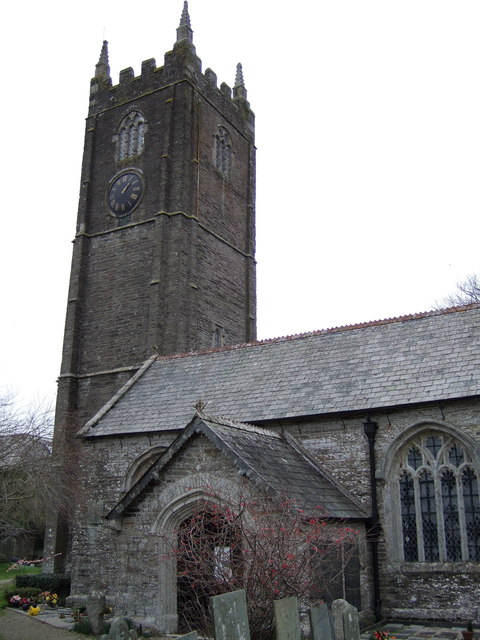
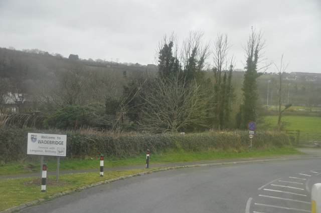
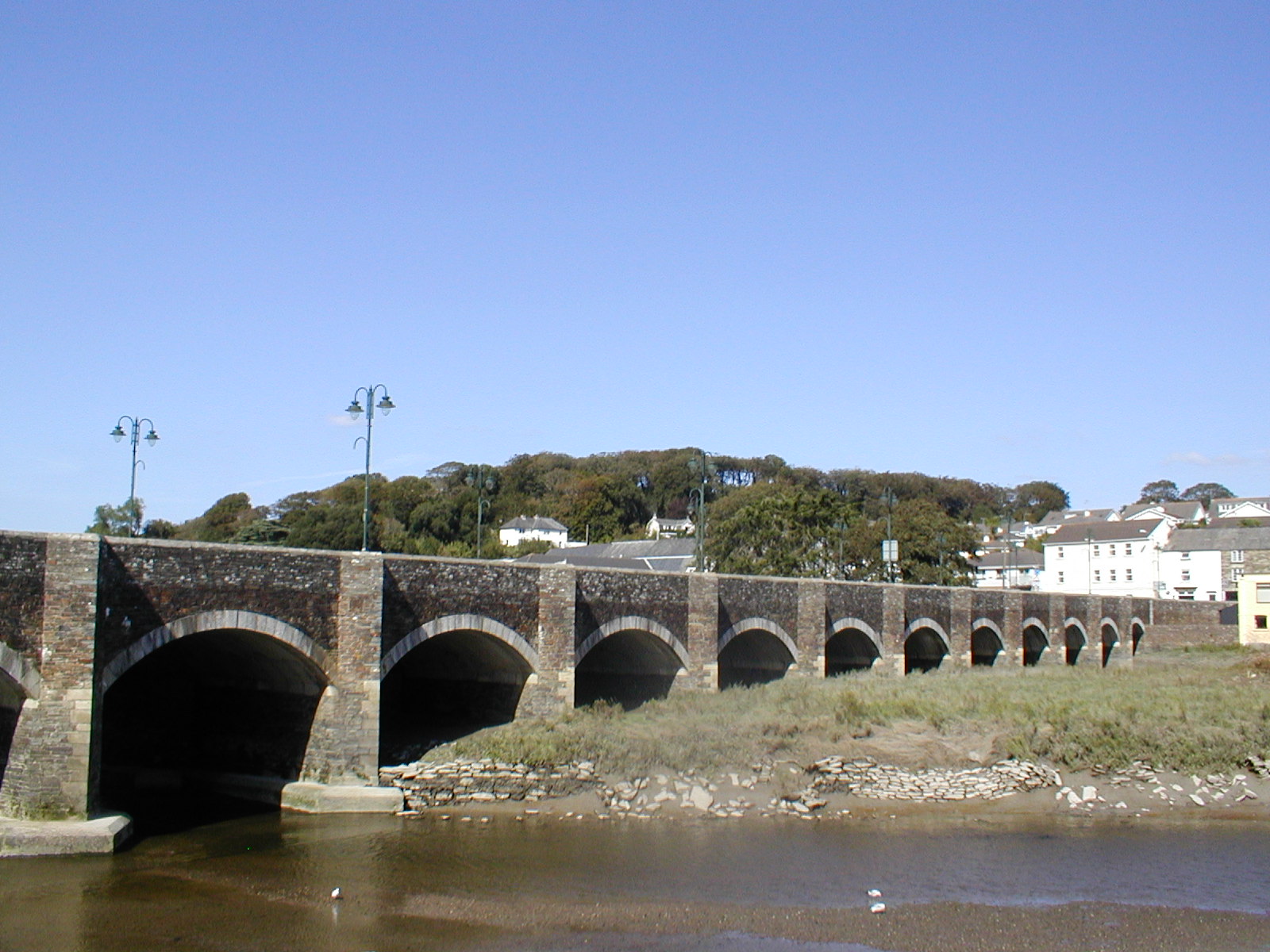
Wadebridge is a civil parish located in the county of Cornwall, England. Situated on the Camel Estuary, it lies approximately 5 miles inland from the coastal town of Padstow. The town is strategically positioned at the lowest bridging point on the River Camel, which has historically made it an important crossing point.
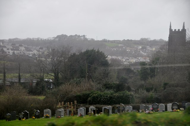
Wadebridge is known for its picturesque setting, surrounded by beautiful countryside and close to the stunning North Cornwall coast. The town itself is quaint and charming, with a mix of traditional architecture and modern facilities. It has a population of around 7,000 people.
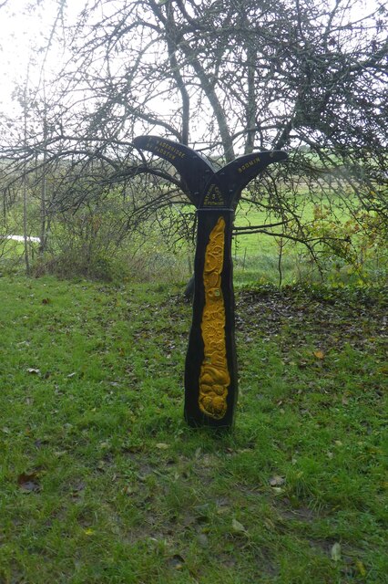
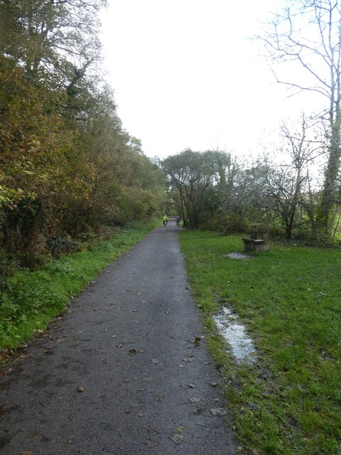
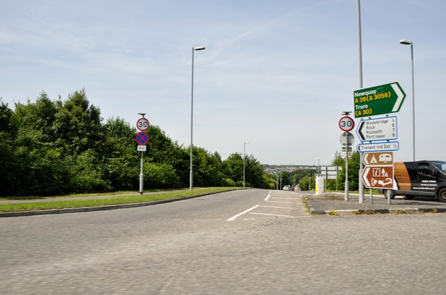
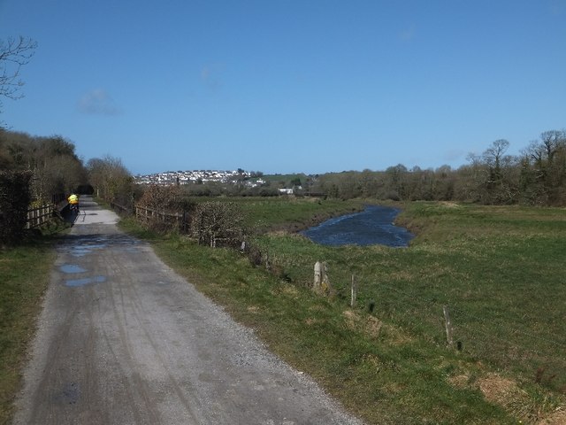
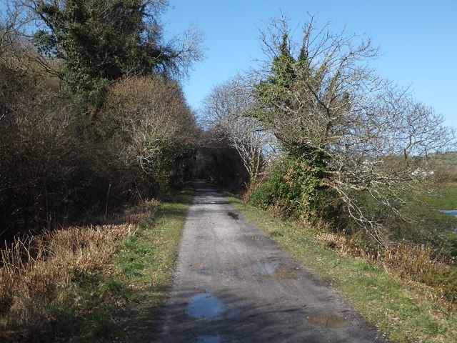
The town is a popular tourist destination, attracting visitors for its scenic beauty and outdoor activities. The Camel Trail, a disused railway line converted into a recreational path, starts from Wadebridge and stretches all the way to Padstow, providing a fantastic route for walkers and cyclists. The estuary also offers opportunities for boating, fishing, and birdwatching.
Wadebridge has a range of amenities, including shops, restaurants, and pubs, catering to both locals and tourists. It also hosts a number of annual events, such as the Royal Cornwall Show, which is held at the nearby Royal Cornwall Showground.
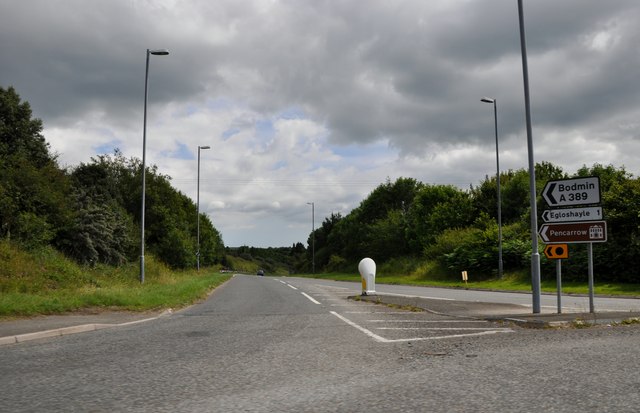
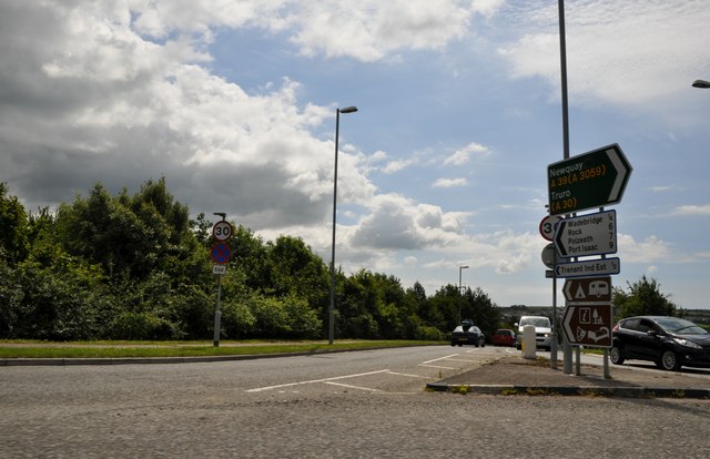
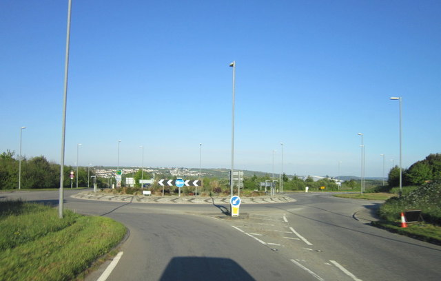
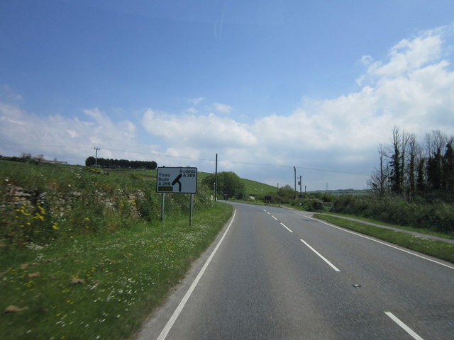
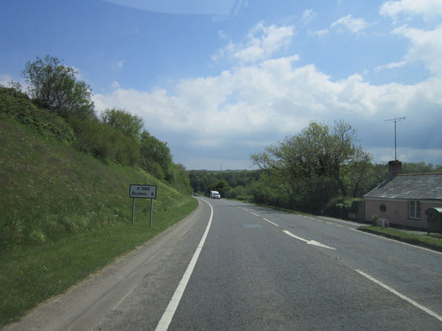
In terms of transport, Wadebridge is well-connected with good road links to other parts of Cornwall, including the nearby towns of Bodmin and Newquay. The town also has a bus station and a railway station, providing access to further destinations.
Overall, Wadebridge is a charming and vibrant town, offering a mix of natural beauty, outdoor activities, and modern amenities.
If you have any feedback on the listing, please let us know in the comments section below.
Wadebridge Images
Images are sourced within 2km of 50.51569/-4.834198 or Grid Reference SW9972. Thanks to Geograph Open Source API. All images are credited.


Wadebridge is located at Grid Ref: SW9972 (Lat: 50.51569, Lng: -4.834198)
Unitary Authority: Cornwall
Police Authority: Devon & Cornwall
What 3 Words
///went.cleansed.regard. Near Wadebridge, Cornwall
Nearby Locations
Related Wikis

North Cornwall
North Cornwall (Cornish: An Tiredh Uhel) is an area of Cornwall, England, United Kingdom. It is also the name of a former local government district, which...

Wadebridge railway station
Wadebridge railway station (Cornish: Ponswad) was a railway station that served the town of Wadebridge in Cornwall, England. It was on the Bodmin and Wadebridge...

Wadebridge Town Hall
Wadebridge Town Hall is a municipal building in The Platt, Wadebridge, Cornwall, England. The town hall is currently used as the meeting place of Wadebridge...

Wadebridge
Wadebridge (; Cornish: Ponswad) is a town and civil parish in north Cornwall, England, United Kingdom. The town straddles the River Camel five miles (eight...

Wadebridge School
Wadebridge School is a coeducational secondary school with academy status, located in the town of Wadebridge, Cornwall, England. It has 1,235 pupils. The...

Wadebridge Town F.C.
Wadebridge Town Football Club is a football club based in Wadebridge, Cornwall, England, in the UK. They play in the South West Peninsula League Premier...
Dunveth
Dunveth is a hamlet in the parish of Wadebridge, Cornwall, England, UK. == References ==
Egloshayle
Egloshayle (pronounced "eglos-hale"Cornish: Eglosheyl – eglos meaning church and heyl meaning estuary) is a civil parish and village in north Cornwall...
Nearby Amenities
Located within 500m of 50.51569,-4.834198Have you been to Wadebridge?
Leave your review of Wadebridge below (or comments, questions and feedback).