Waddingworth
Civil Parish in Lincolnshire East Lindsey
England
Waddingworth

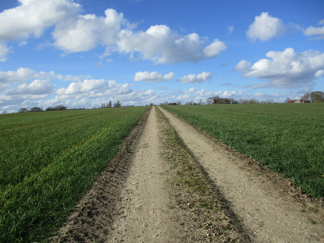
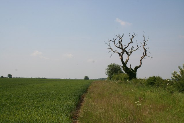
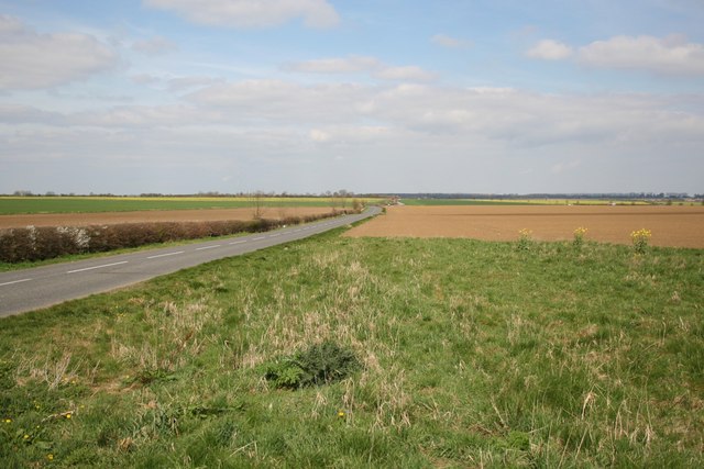
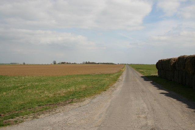
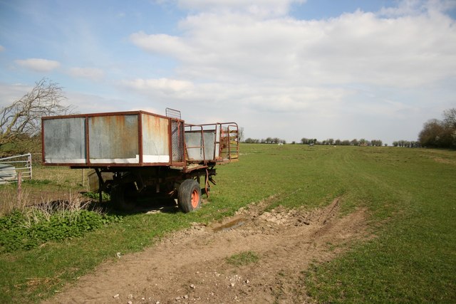
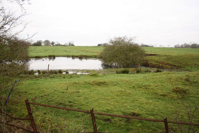
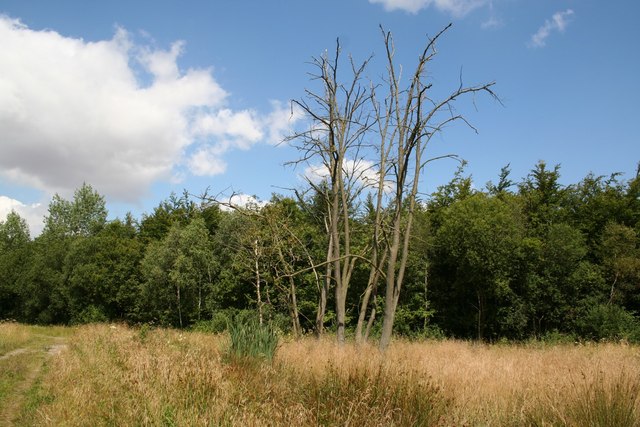
Waddingworth is a civil parish located in the West Lindsey district of Lincolnshire, England. Situated approximately 10 miles northeast of the city of Lincoln, it covers an area of about 1,200 acres. This rural village is surrounded by picturesque countryside, with rolling hills and agricultural fields dominating the landscape.
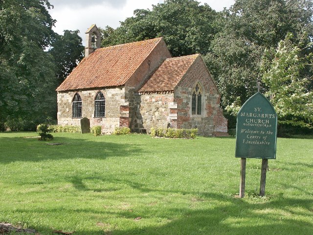
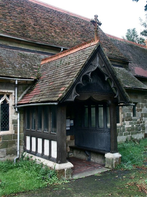
The village itself is small, with a population of around 150 people. The architecture of Waddingworth reflects its historical significance, with many buildings dating back to the 17th and 18th centuries. The parish church, dedicated to St. Margaret, is a prominent landmark and stands as a testament to the area's rich heritage.
The village offers limited amenities, with a village hall providing a central gathering place for the community. However, residents benefit from the close proximity to nearby towns and cities, such as Lincoln, which provide a wider range of services and facilities.
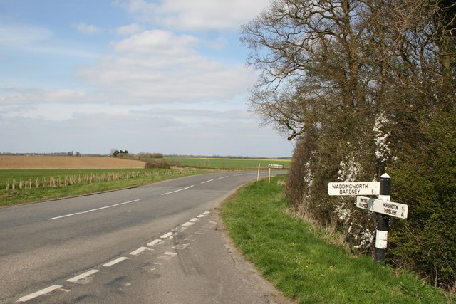
Waddingworth is known for its tranquil and peaceful atmosphere, making it an ideal location for those seeking a quiet and rural lifestyle. The surrounding countryside offers opportunities for outdoor activities, including walking, cycling, and horse riding. The village is also well-connected, with good road links to nearby towns and easy access to the A158 and A15 highways.
Overall, Waddingworth offers a charming and idyllic setting, perfect for those seeking a close-knit community and a slower pace of life.
If you have any feedback on the listing, please let us know in the comments section below.
Waddingworth Images
Images are sourced within 2km of 53.224586/-0.231971 or Grid Reference TF1871. Thanks to Geograph Open Source API. All images are credited.


Waddingworth is located at Grid Ref: TF1871 (Lat: 53.224586, Lng: -0.231971)
Administrative County: Lincolnshire
District: East Lindsey
Police Authority: Lincolnshire
What 3 Words
///tiger.incurring.pothole. Near Bardney, Lincolnshire
Nearby Locations
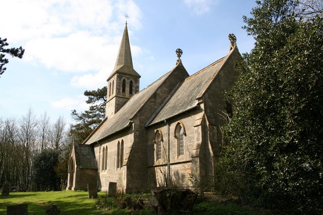
Related Wikis

Waddingworth
Waddingworth is a hamlet and civil parish in the East Lindsey district of Lincolnshire, England, and approximately 5 miles (8 km) north-west from the town...

Gautby
Gautby ( GAWT-bee) is a village in the East Lindsey district of Lincolnshire, England. The village is situated 6 miles (10 km) north-west from the town...
Minting Priory
Minting Priory was a priory in Minting, Lincolnshire, England. The priory for Benedictine monks was founded by Ranulf de Meschines, earl of Chester, to...
Bucknall, Lincolnshire
Bucknall is a village and civil parish in the East Lindsey district of Lincolnshire, England. The village is situated approximately 5 miles (8 km) west...
Minting
Minting is a village and civil parish in the East Lindsey district of Lincolnshire, England. The village is situated 1 mile (1.6 km) south from the A158...
Wispington
Wispington is a village in the civil parish of Edlington with Wispington, in East Lindsey, Lincolnshire, England. It is situated 2 miles (3 km) west from...
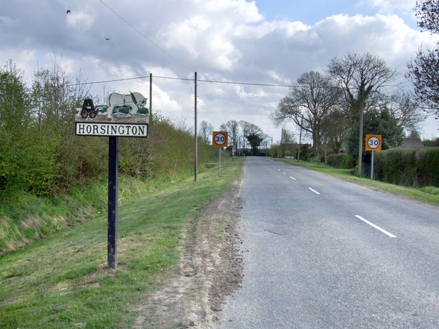
Horsington, Lincolnshire
Horsington is a village and civil parish in the East Lindsey district of Lincolnshire, England. It lies on the B1190, 4 miles (6.4 km) north from Woodhall...

Burreth, Lincolnshire
Burreth (also occasionally Burgrede) is a now-deserted village in Lincolnshire. == Medieval village == In the late 13th century, the manor of Burreth was...
Nearby Amenities
Located within 500m of 53.224586,-0.231971Have you been to Waddingworth?
Leave your review of Waddingworth below (or comments, questions and feedback).