Buarth Mawr
Settlement in Cardiganshire
Wales
Buarth Mawr

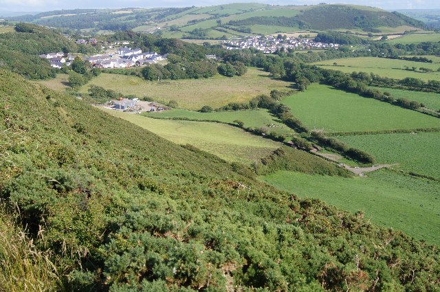
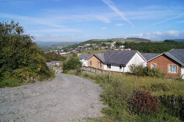
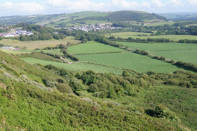
Buarth Mawr is a small rural village located in Cardiganshire, Wales. Situated in the heart of the beautiful Welsh countryside, it is nestled between rolling hills and lush green pastures. The village is known for its tranquility and stunning natural landscapes, making it a popular destination for nature lovers and those seeking a peaceful retreat.
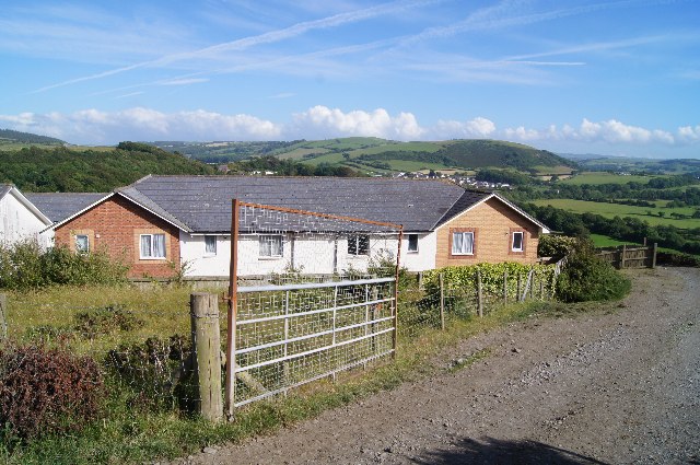
Buarth Mawr is characterized by its traditional Welsh architecture, with many of the houses and buildings reflecting the area's rich history. The local community is tight-knit, and residents take great pride in preserving the village's heritage and cultural traditions.
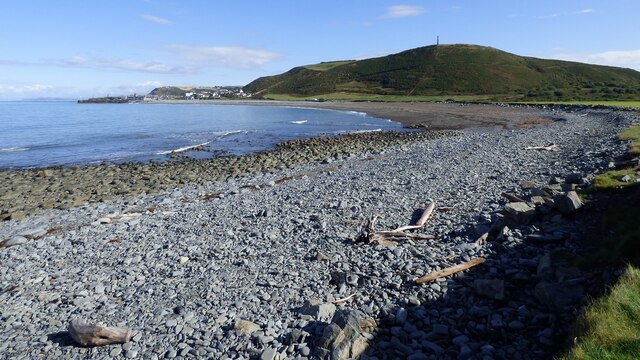
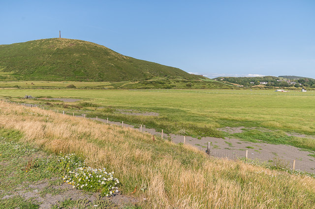
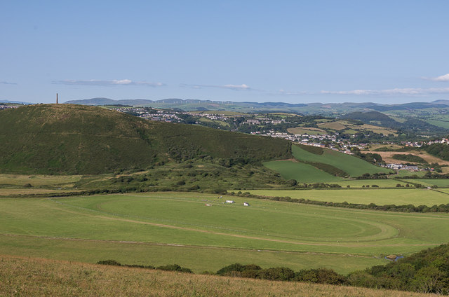
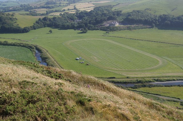
The village is surrounded by stunning natural attractions, including the nearby Cambrian Mountains and the picturesque Teifi Valley. These areas offer ample opportunities for outdoor activities such as hiking, cycling, and birdwatching. The nearby River Teifi is renowned for its fishing, attracting anglers from far and wide.
Despite its rural location, Buarth Mawr is well-connected to neighboring towns and cities. The village has a primary school, a village hall, and a few local businesses, including a small convenience store. For more extensive amenities, residents can easily access nearby towns such as Lampeter or Aberystwyth, which offer a wider range of shops, restaurants, and services.
Buarth Mawr's serene atmosphere, stunning scenery, and sense of community make it an idyllic place to live or visit for those seeking a slower pace of life and a close connection to nature.
If you have any feedback on the listing, please let us know in the comments section below.
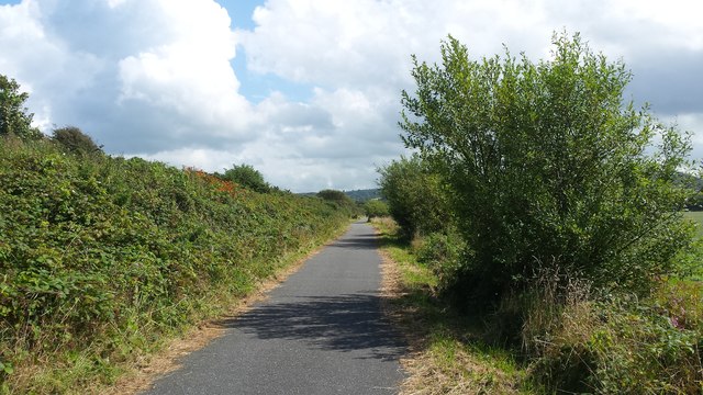
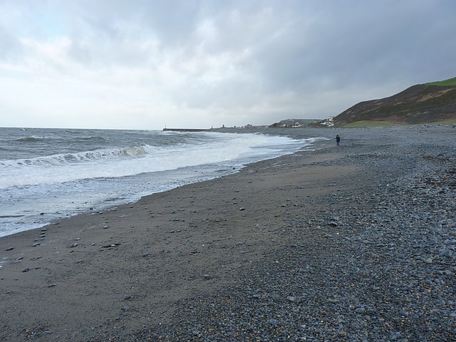
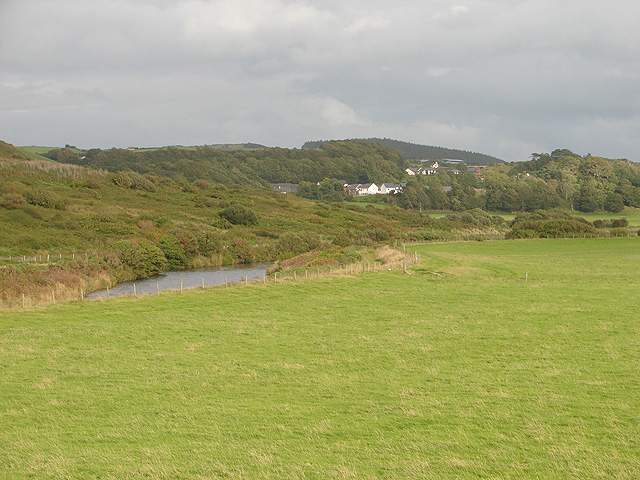
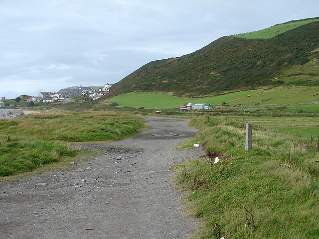
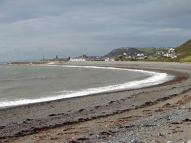
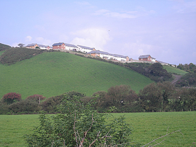
Buarth Mawr Images
Images are sourced within 2km of 52.413676/-4.075755 or Grid Reference SN5881. Thanks to Geograph Open Source API. All images are credited.


Buarth Mawr is located at Grid Ref: SN5881 (Lat: 52.413676, Lng: -4.075755)
Unitary Authority: Ceredigion
Police Authority: Dyfed Powys
What 3 Words
///handrail.lightly.roadblock. Near Aberystwyth, Ceredigion
Nearby Locations
Related Wikis
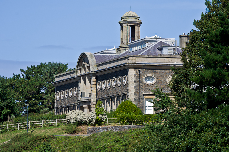
Edward Davies Memorial Chemistry Laboratories
The Edward Davies Memorial Chemistry Laboratories is a Grade-II* listed Aberystwyth University building, in Buarth Mawr, Aberystwyth.The building was completed...

Vicarage Field, Aberystwyth
Vicarage Field is a cricket ground in Aberystwyth, Wales used by Glamorgan for two Sunday League matches in 1977 (against Essex) and 1989 (against Warwickshire...
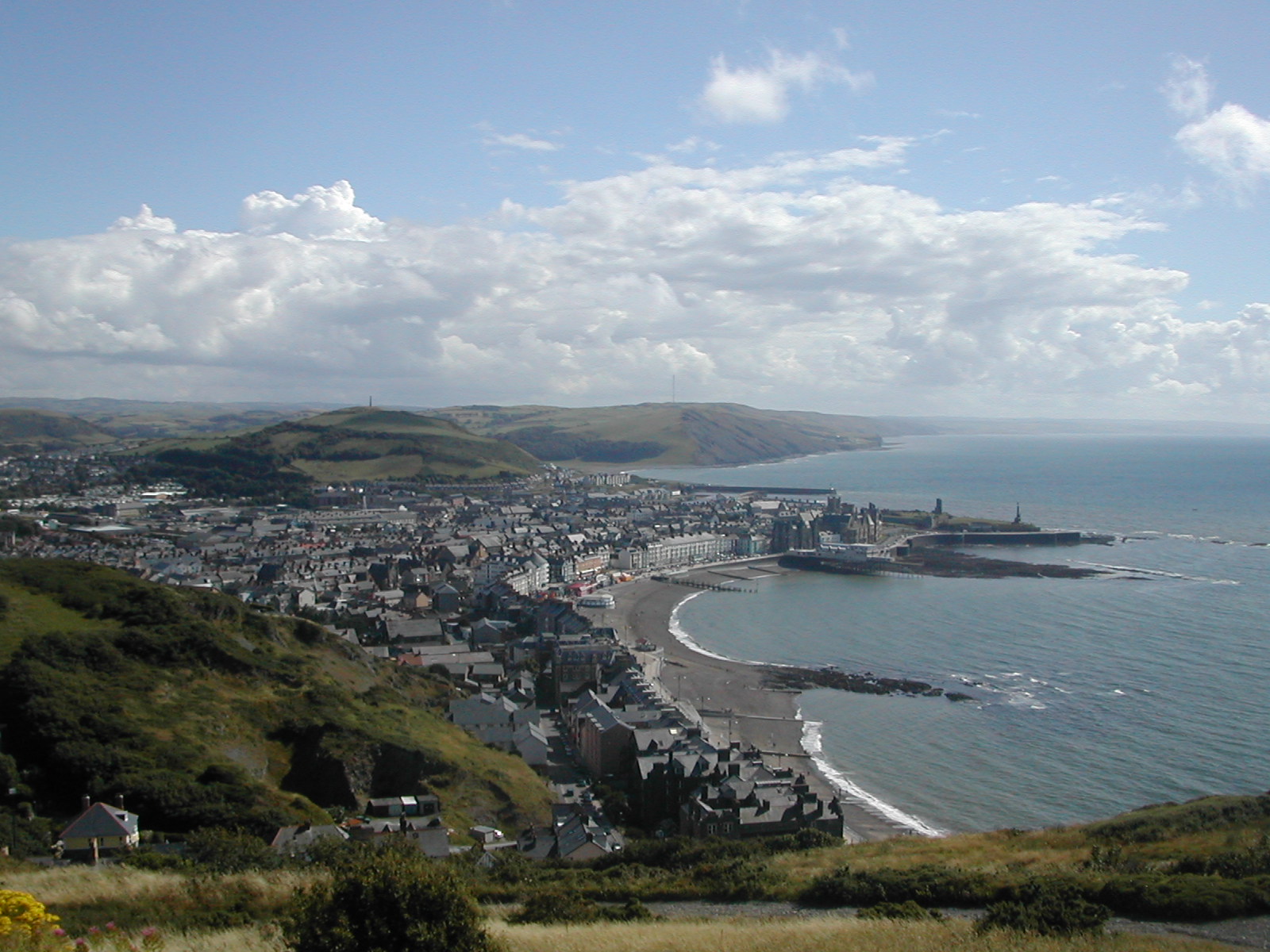
Aberystwyth
Aberystwyth (Welsh: [abɛˈrəstʊɨθ] ) is a university and seaside town and a community in Ceredigion, Wales. It is the largest town in Ceredigion and 16...
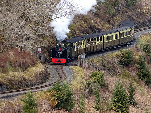
Vale of Rheidol Railway
The Vale of Rheidol Railway (Welsh: Rheilffordd Cwm Rheidol) is a 1 ft 11+3⁄4 in (603 mm) narrow gauge heritage railway in Ceredigion, Wales, between Aberystwyth...

Elysian Grove
Elysian Grove (Welsh: Llwyn Afallon) is a street in the community and town of Aberystwyth, Ceredigion, Wales, which is 74 miles (119 km) from Cardiff...

Bronglais Hospital
Bronglais Hospital (Welsh: Ysbyty Bronglais) is an Acute District General Hospital in Aberystwyth, Wales. It is managed by Hywel Dda University Health...

Aberystwyth railway station
Aberystwyth railway station is located in the town of Aberystwyth, Ceredigion, Wales; it is served by passenger trains operated by Transport for Wales...

Llanbeblig Book of Hours
The Llanbeblig Book of Hours is an illuminated manuscript in the National Library of Wales (NLW MS 17520A) that dates from the close of the fourteenth...
Nearby Amenities
Located within 500m of 52.413676,-4.075755Have you been to Buarth Mawr?
Leave your review of Buarth Mawr below (or comments, questions and feedback).