Bubbenhall
Settlement in Warwickshire Warwick
England
Bubbenhall
Bubbenhall is a small village located in the county of Warwickshire, England. Situated approximately 7 miles southeast of Coventry, it lies on the western edge of the West Midlands Green Belt. The village is surrounded by beautiful countryside and offers a peaceful rural setting.
With a population of around 550 residents, Bubbenhall has a close-knit community that values its quaint and picturesque atmosphere. The village is known for its traditional thatched cottages, which add to its charm and character. The parish church, St. Giles, is a prominent feature in Bubbenhall and dates back to the 12th century.
The village benefits from excellent transport links, with the A445 road passing through it, connecting Bubbenhall to nearby towns and cities. The nearby train stations of Coventry and Leamington Spa provide convenient access to London and other major destinations.
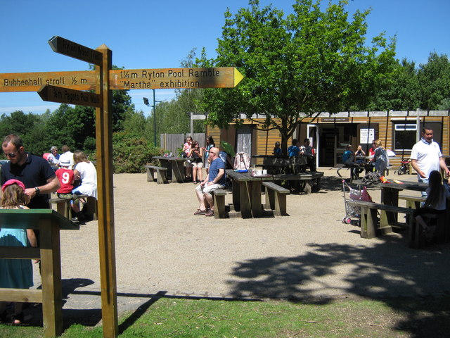
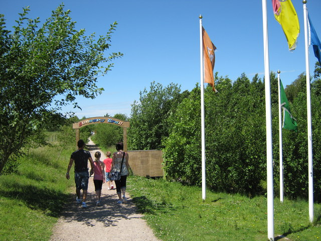
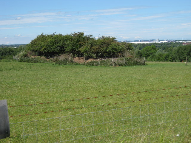
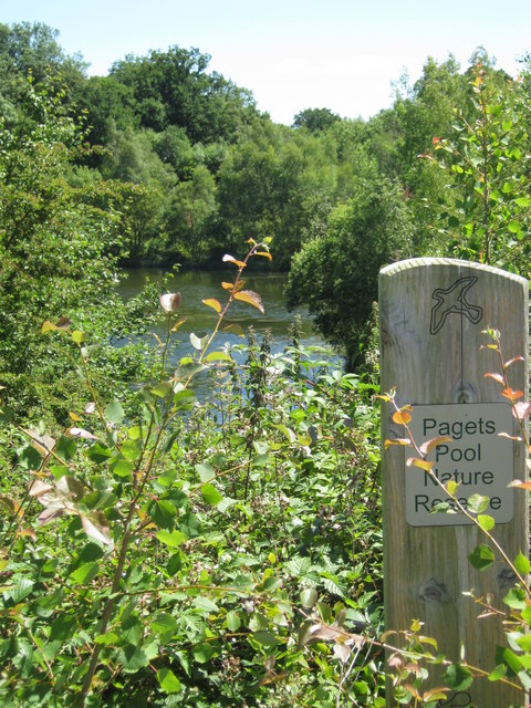
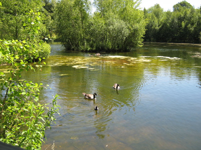
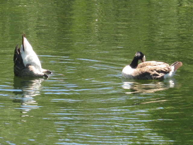
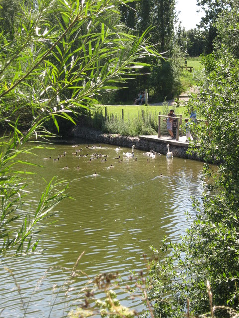
Bubbenhall is also home to Bubbenhall Wood and Meadow Nature Reserve, a cherished local attraction. Covering an area of 59 hectares, this nature reserve is teeming with diverse flora and fauna, making it a haven for wildlife enthusiasts and nature lovers.
Overall, Bubbenhall offers a peaceful and idyllic countryside living experience, with its charming architecture, strong sense of community, and easy access to surrounding areas. It is a desirable location for those seeking a tranquil and picturesque village lifestyle in Warwickshire.
If you have any feedback on the listing, please let us know in the comments section below.
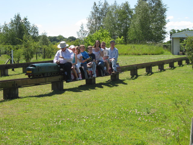
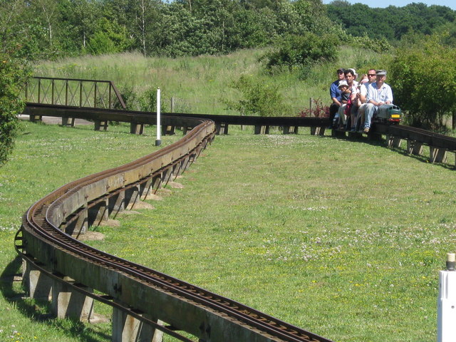
Bubbenhall Images
Images are sourced within 2km of 52.349242/-1.470396 or Grid Reference SP3672. Thanks to Geograph Open Source API. All images are credited.
Bubbenhall is located at Grid Ref: SP3672 (Lat: 52.349242, Lng: -1.470396)
Administrative County: Warwickshire
District: Warwick
Police Authority: Warwickshire
What 3 Words
///film.drift.music. Near Ryton on Dunsmore, Warwickshire
Nearby Locations
Related Wikis

Bubbenhall
Bubbenhall is a village and civil parish in the Warwick district of Warwickshire, England. The village lies off the A445 road, about 5.5 miles (9 km)...

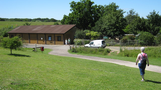
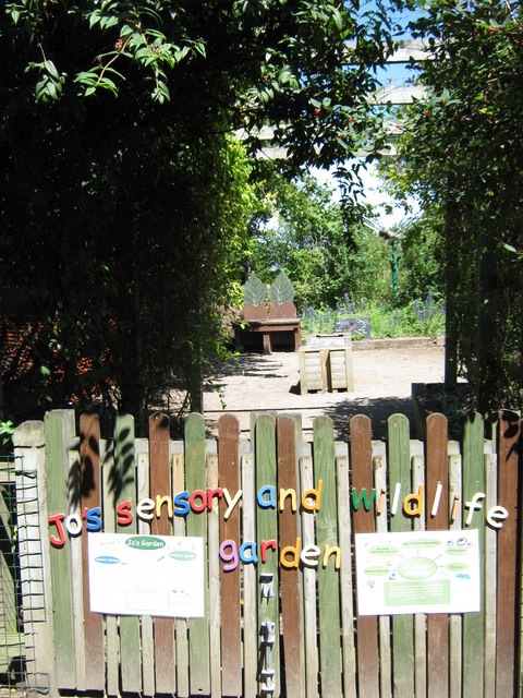
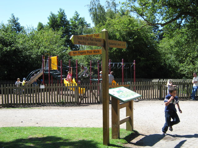
Ryton Pools Country Park
Ryton Pools Country Park is a country park one mile (1.6 km) south west of the village of Ryton on Dunsmore in Warwickshire, England. The park occupies...

National Police Library
The National Police Library in the United Kingdom is a library classed as a special library and research library. It is part of the College of Policing...
College of Policing
The College of Policing is a professional body for the police in England and Wales. It was established in 2012 to take over a number of training and development...
Arden University
Arden University is a private, for-profit teaching university in the United Kingdom. It offers a variety of undergraduate and post-graduate programmes...
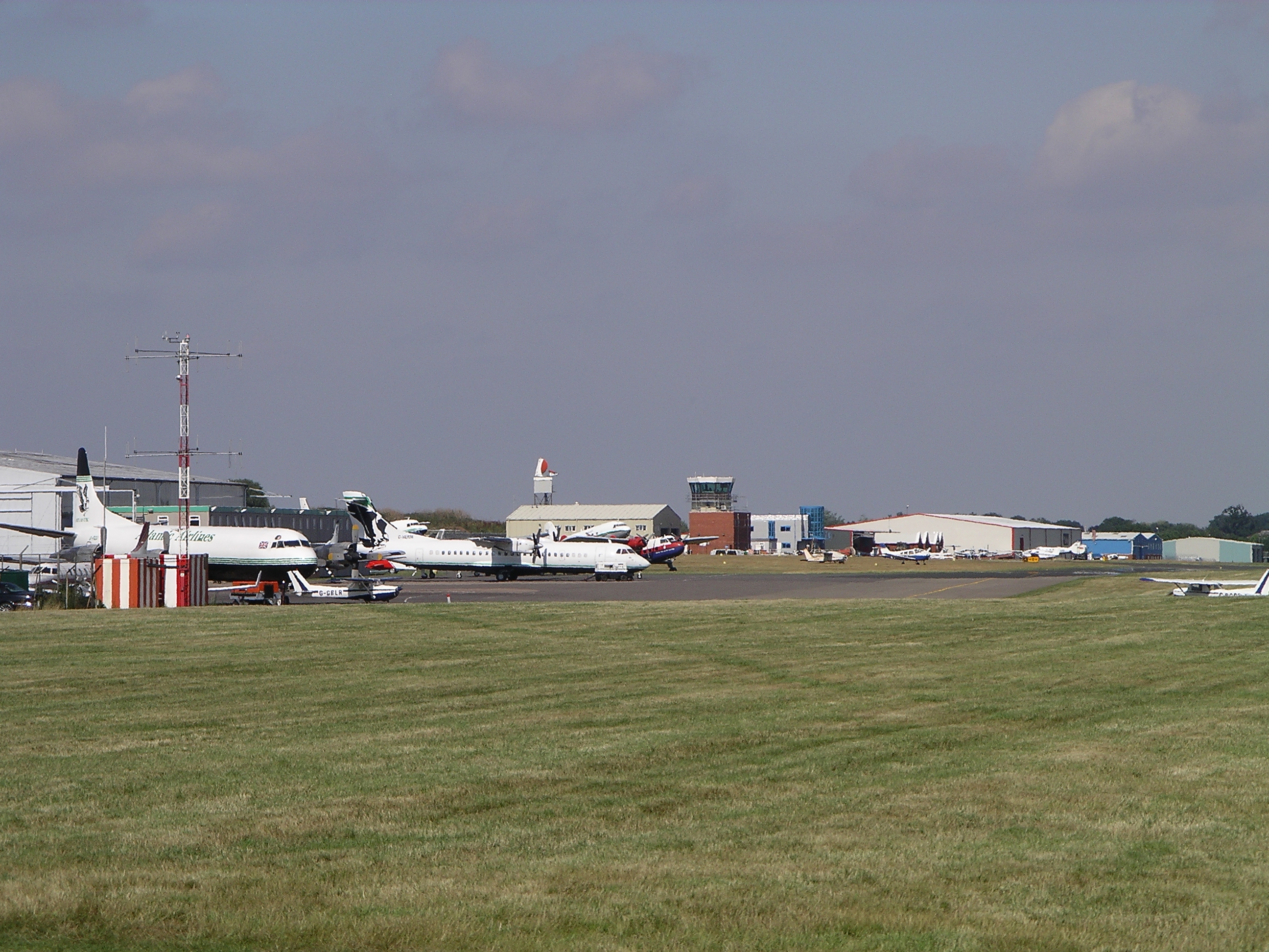
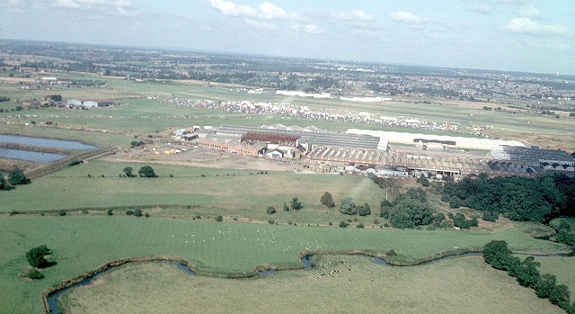
Coventry Airport
Coventry Airport (IATA: CVT, ICAO: EGBE) is located three nautical miles (six kilometres) south-southeast of Coventry city centre, in the village of Baginton...

Baginton
Baginton is a village and civil parish in the Warwick district of Warwickshire, England, and has a common border with the City of Coventry / West Midlands...

Ryton plant
The Ryton plant is a former car manufacturing plant in Ryton-on-Dunsmore, England. Developed by the Rootes Group as a shadow factory in 1939 to produce...
Nearby Amenities
Located within 500m of 52.349242,-1.470396Have you been to Bubbenhall?
Leave your review of Bubbenhall below (or comments, questions and feedback).