Bubblewell
Settlement in Gloucestershire Stroud
England
Bubblewell
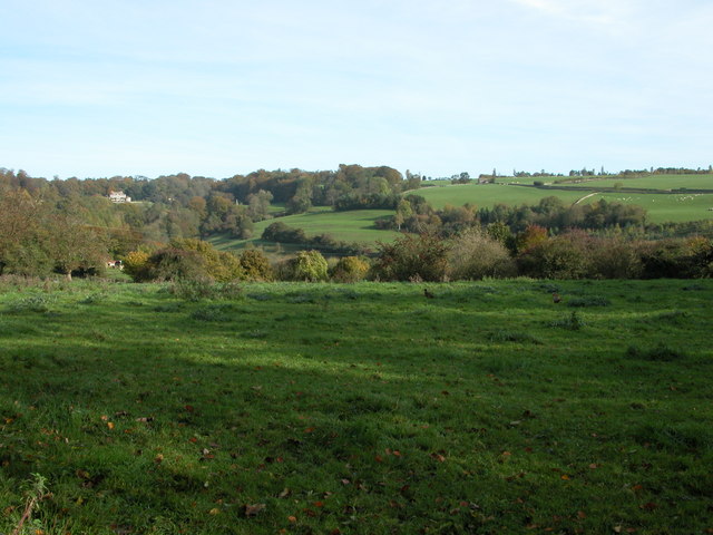
Bubblewell is a small village nestled in the picturesque county of Gloucestershire, England. Situated on the banks of the River Severn, it is known for its idyllic countryside surroundings and charming rural atmosphere. With a population of around 500 residents, Bubblewell offers a close-knit community feel and a peaceful retreat away from the hustle and bustle of larger towns.
The village is dotted with traditional stone cottages and historic buildings, showcasing its rich heritage. One of its notable landmarks is the Bubblewell Manor, a magnificent Tudor-style mansion dating back to the 16th century. This Grade II listed building is a popular attraction for history enthusiasts and architecture admirers alike.
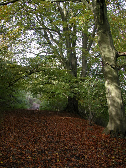
Nature lovers will be delighted by the abundance of green spaces surrounding Bubblewell. The nearby Bubblewell Woods provide a serene setting for leisurely walks and picnics, with a variety of flora and fauna to discover. The riverbank also offers opportunities for boating and fishing, attracting visitors from far and wide.
Despite its small size, Bubblewell boasts a vibrant community spirit. The village hosts several annual events, including a summer fete and a Christmas market, where locals and visitors can come together to enjoy live music, local produce, and traditional festivities.
Bubblewell is conveniently located within easy reach of larger towns such as Gloucester and Cheltenham, offering residents access to a wider range of amenities and services. With its charm, natural beauty, and strong sense of community, Bubblewell is truly a hidden gem in the heart of Gloucestershire.
If you have any feedback on the listing, please let us know in the comments section below.
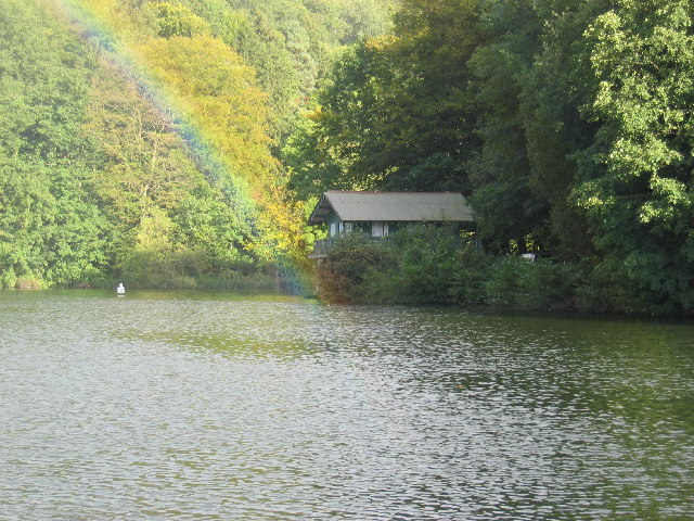
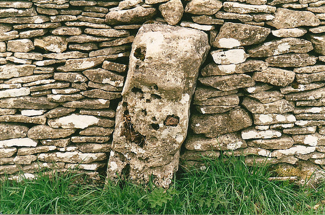
Bubblewell Images
Images are sourced within 2km of 51.6993/-2.185411 or Grid Reference SO8700. Thanks to Geograph Open Source API. All images are credited.


Bubblewell is located at Grid Ref: SO8700 (Lat: 51.6993, Lng: -2.185411)
Administrative County: Gloucestershire
District: Stroud
Police Authority: Gloucestershire
What 3 Words
///trailing.sedative.attracts. Near Minchinhampton, Gloucestershire
Nearby Locations
Related Wikis

Minchinhampton
Minchinhampton is a Cotswolds market town and a civil parish in the Stroud District of Gloucestershire, South West England. The town is located on a hilltop...

Ball's Green
Ball's Green is a hamlet in Gloucestershire, England. == External links == StreetMap.co.uk

Minchinhampton Priory
Minchinhampton Priory was a priory in Gloucestershire, England. After the Norman Conquest the manor of Minchinhampton was granted to the Benedictine nuns...

Box Farm Meadows SSSI
Box Farm Meadows (Stuart Fawkes reserve) (grid reference ST865997) is a 8.3-hectare (21-acre) biological Site of Special Scientific Interest in Gloucestershire...

Gatcombe Park
Gatcombe Park is the country residence of Anne, Princess Royal, between the villages of Minchinhampton (to which it belongs) and Avening in Gloucestershire...
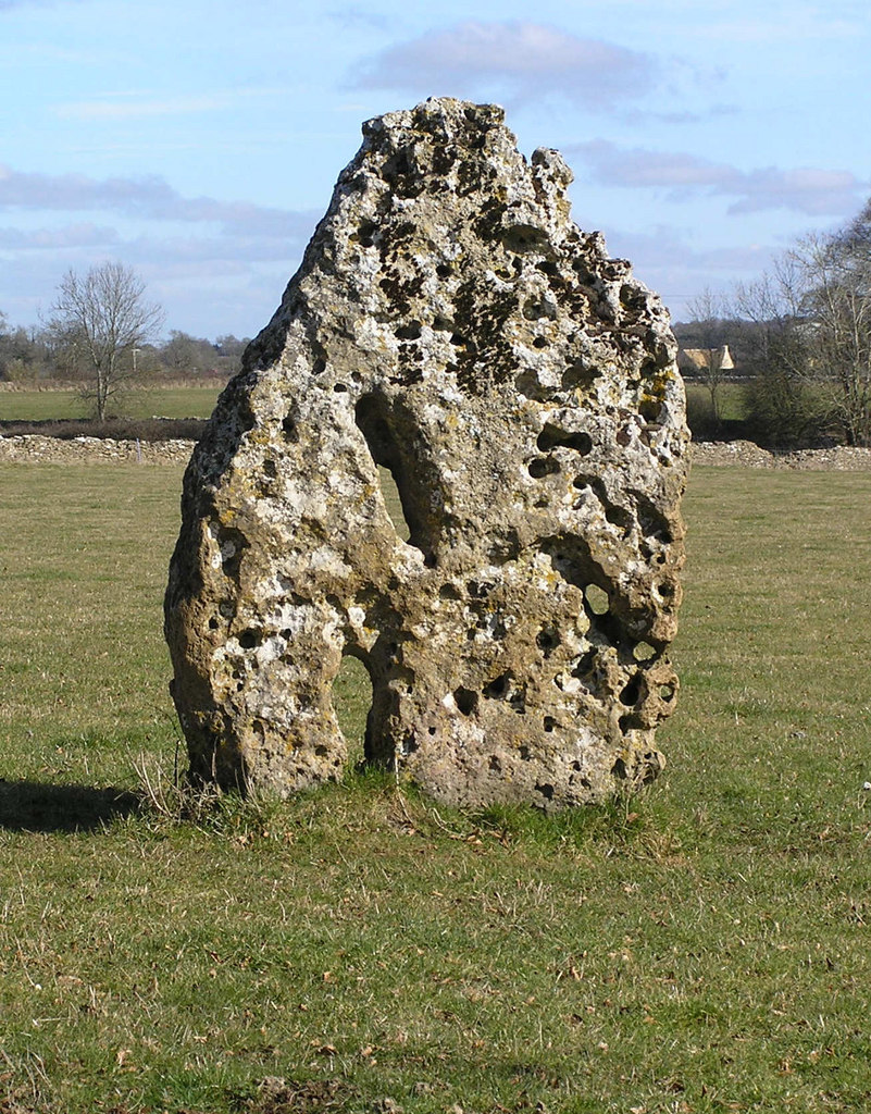
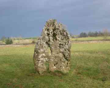
Longstone of Minchinhampton
The Longstone of Minchinhampton (grid reference ST884998) is a standing stone on Minchinhampton Common, Minchinhampton in Gloucestershire, England. The...

Box, Gloucestershire
Box is a small village in Gloucestershire, England. It is in the civil parish of Minchinhampton, and is located 3 miles (4.8 km) south of Stroud and 10...

Minchinhampton Common
Minchinhampton Common (grid reference SO855010) is a 182.7-hectare (451-acre) biological and geological Site of Special Scientific Interest in Gloucestershire...
Nearby Amenities
Located within 500m of 51.6993,-2.185411Have you been to Bubblewell?
Leave your review of Bubblewell below (or comments, questions and feedback).