Trefechan
Settlement in Cardiganshire
Wales
Trefechan

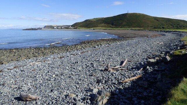
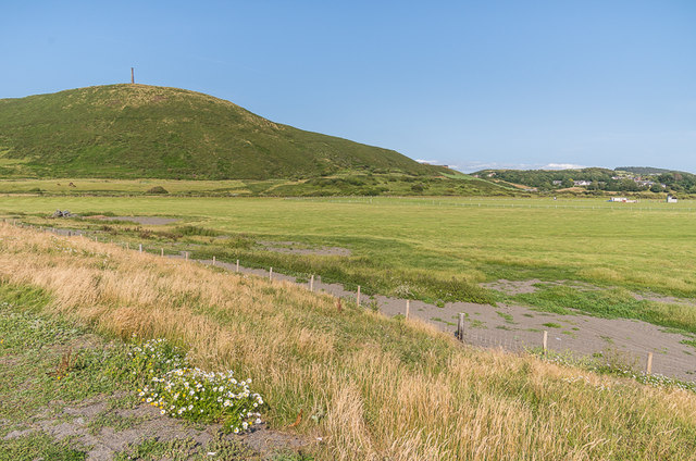
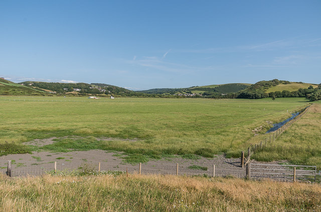
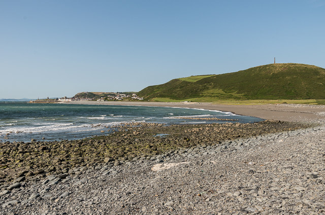
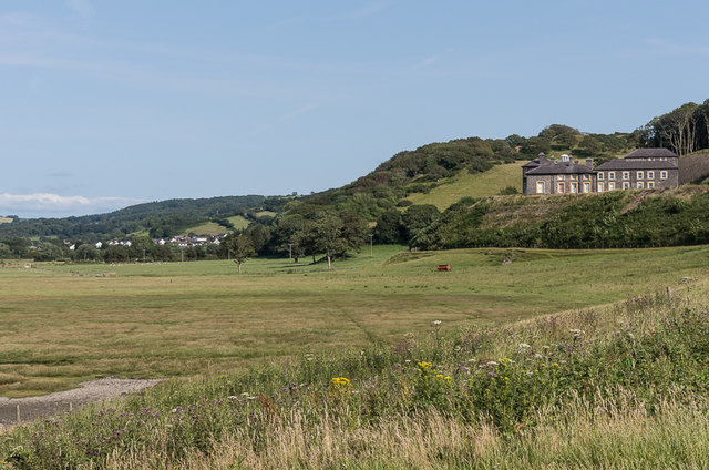
Trefechan is a small village located in the county of Cardiganshire, Wales. Situated in the picturesque Ceredigion area, Trefechan is surrounded by rolling hills, lush greenery, and breathtaking landscapes. With a population of roughly 500 residents, it retains a close-knit community atmosphere.
The village boasts a rich history, dating back centuries. It is home to several historic buildings, including St. Llawddog's Church, which dates back to the 12th century and is known for its beautiful architecture and serene surroundings. The village also features a number of traditional stone houses and cottages, adding to its charming character.
Trefechan offers a range of amenities to its residents, including a local primary school, a community center, and a small convenience store. The village is also served by regular bus services, connecting it to nearby towns and cities.
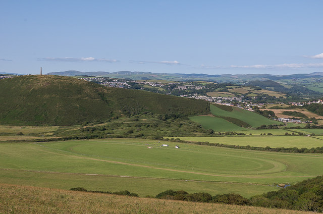
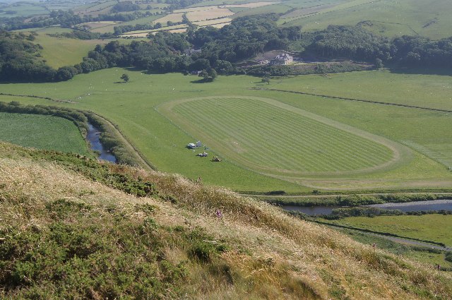
Nature lovers will find plenty to explore in the surrounding countryside. The area is known for its scenic walks, with trails leading through forests, along rivers, and up hills, offering stunning views of the Cardiganshire countryside. Wildlife enthusiasts can spot various species of birds, mammals, and flora in the area.
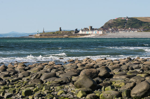
While Trefechan may be a small village, it is well-connected to larger towns such as Aberystwyth and Cardigan, which offer additional amenities and services. Its tranquil and idyllic setting makes it an attractive place to live for those seeking a peaceful and rural lifestyle in the heart of Wales.
If you have any feedback on the listing, please let us know in the comments section below.
Trefechan Images
Images are sourced within 2km of 52.410414/-4.087365 or Grid Reference SN5881. Thanks to Geograph Open Source API. All images are credited.


Trefechan is located at Grid Ref: SN5881 (Lat: 52.410414, Lng: -4.087365)
Unitary Authority: Ceredigion
Police Authority: Dyfed Powys
What 3 Words
///elephant.immediate.widget. Near Aberystwyth, Ceredigion
Nearby Locations
Related Wikis
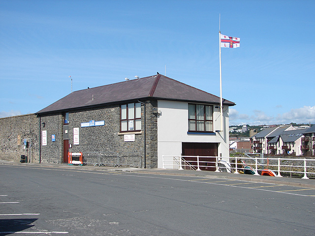
Aberystwyth Lifeboat Station
Aberystwyth Lifeboat Station is a Royal National Lifeboat Institution (RNLI) lifeboat station in the coastal resort of Aberystwyth, Ceredigion, West Wales...

Aberystwyth Rheidol
Aberystwyth Rheidol is the name of a local government electoral ward in the town of Aberystwyth, Ceredigion, Wales. It elects a county councillor to Ceredigion...
Aberystwyth power station
Aberystwyth power station supplied electricity to the town of Aberystwyth from 1895 to the 1970s. The oil-engine station was operated by a succession of...

Church of St Michael and All Angels, Aberystwyth
St Michael's Church is a parish church in the town of Aberystwyth, Ceredigion, Wales. St Michael's is the fourth church to stand on the site. The first...
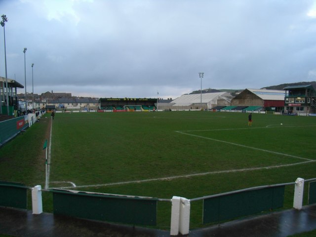
Park Avenue, Aberystwyth
Park Avenue (Welsh: Coedlen y Parc) currently called Aberystwyth University Stadium for sponsorship purposes, is a football stadium in Aberystwyth, Wales...
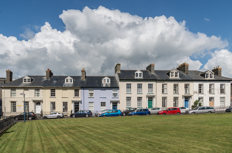
Laura Place, Aberystwyth
Laura Place, in the centre of Aberystwyth, Ceredigion, Wales is a terrace of mid-19th century townhouses. Pevsner considers them "the finest Georgian houses...

Aberystwyth railway station
Aberystwyth railway station is located in the town of Aberystwyth, Ceredigion, Wales; it is served by passenger trains operated by Transport for Wales...
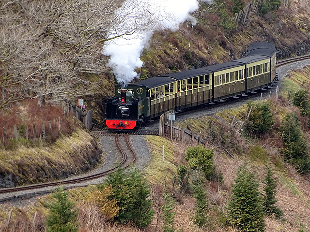
Vale of Rheidol Railway
The Vale of Rheidol Railway (Welsh: Rheilffordd Cwm Rheidol) is a 1 ft 11+3⁄4 in (603 mm) narrow gauge heritage railway in Ceredigion, Wales, between Aberystwyth...
Nearby Amenities
Located within 500m of 52.410414,-4.087365Have you been to Trefechan?
Leave your review of Trefechan below (or comments, questions and feedback).