Aberystwyth

Community in Cardiganshire

Wales

Aberystwyth

Afon Ystwyth floodplain Looking across the floodplain of Afon Ystwyth from above Tanybwlch Beach, with Pendinas in the background, topped by the Wellington Monument.
Afon Ystwyth floodplain Credit: Ian Capper

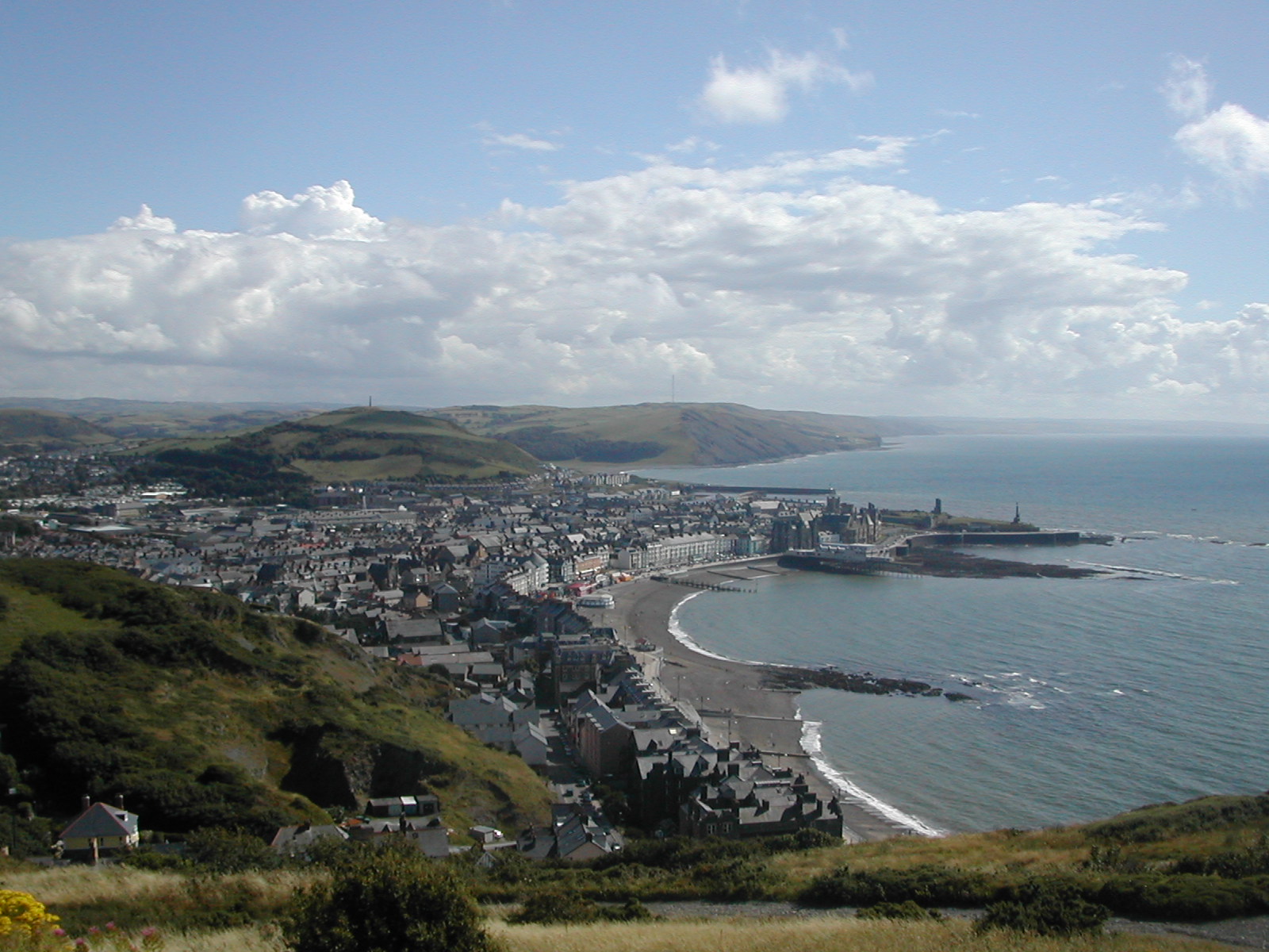
Aberystwyth is a picturesque coastal town located in the county of Cardiganshire, Wales. Positioned at the confluence of the rivers Ystwyth and Rheidol, the town offers breathtaking views of the Irish Sea and the Cambrian Mountains. With a population of around 15,000 residents, Aberystwyth is a vibrant community that attracts both tourists and students alike.

The town is renowned for its prestigious university, Aberystwyth University, which was established in 1872. This educational institution adds a youthful energy to the town, with a significant student presence throughout the year. The university campus boasts stunning architecture and is set against a backdrop of rolling hills, making it an inspiring place to study.

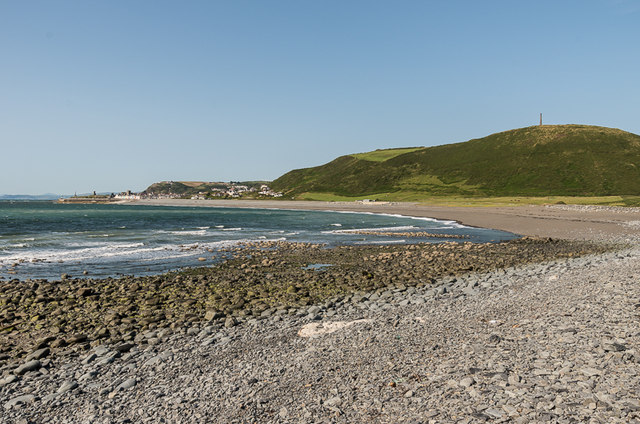
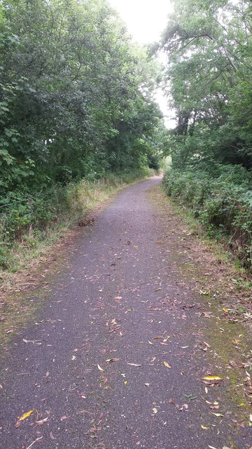
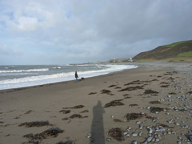
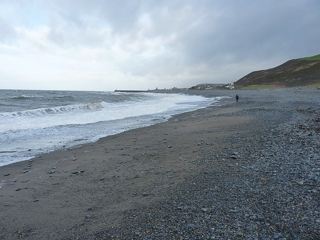
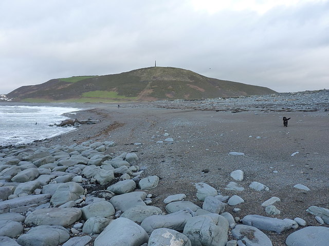
Aberystwyth's seaside location provides ample opportunities for outdoor activities. The town's long sandy beach is a popular spot for sunbathing, swimming, and surfing during the summer months. Additionally, the promenade, which stretches along the coast, offers a pleasant walk with stunning views.

The town center is a bustling hub, with a range of shops, restaurants, and cafes catering to both residents and visitors. The historic town features several notable landmarks, including the ruins of Aberystwyth Castle, which dates back to the 13th century, and the iconic National Library of Wales, housing a vast collection of Welsh literature and historical documents.

Aberystwyth also hosts various cultural events and festivals throughout the year, attracting people from all over. The town's vibrant arts scene is showcased in numerous galleries and theaters, promoting local talent and creativity.

With its stunning natural surroundings, academic excellence, and thriving community, Aberystwyth is a charming and lively town that offers a unique blend of history, culture, and natural beauty.

If you have any feedback on the listing, please let us know in the comments section below.
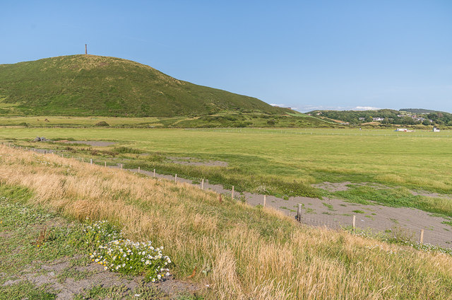
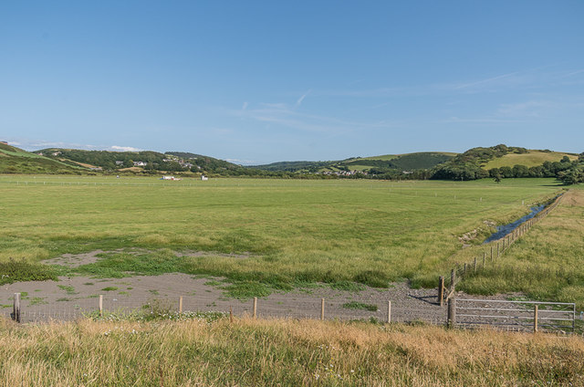
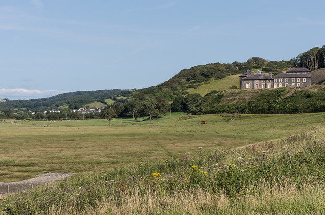
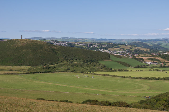
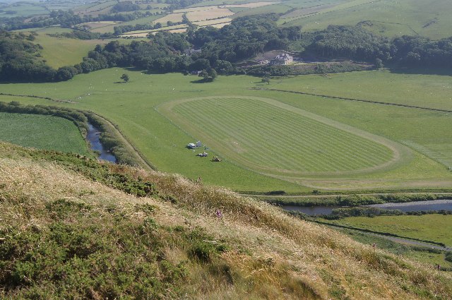
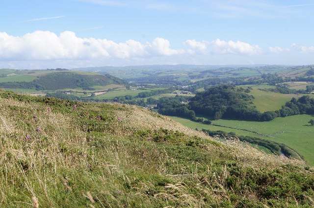
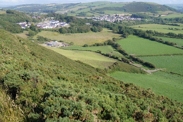
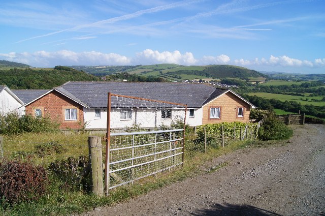
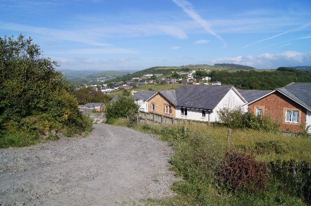
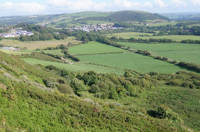
Aberystwyth Images

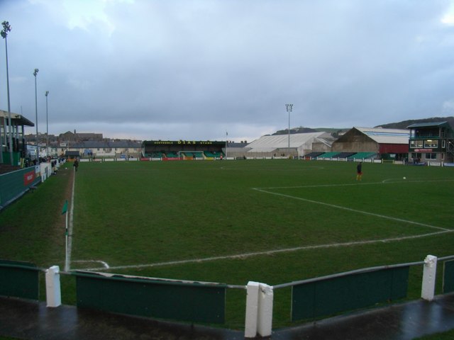
Images are sourced within 2km of 52.410915/-4.077816 or Grid Reference SN5881. Thanks to Geograph Open Source API. All images are credited.

Afon Ystwyth floodplain Looking across the floodplain of Afon Ystwyth from above Tanybwlch Beach, with Pendinas in the background, topped by the Wellington Monument.
Afon Ystwyth floodplain
Looking across the floodplain of Afon Ystwyth from above Tanybwlch Beach, with Pendinas in the background, topped by the Wellington Monument.
Afon Ystwyth floodplain Looking across the floodplain of Afon Ystwyth from above Tanybwlch Beach.
Afon Ystwyth floodplain
Looking across the floodplain of Afon Ystwyth from above Tanybwlch Beach.
Tanybwlch Beach Looking along Tanybwlch Beach from below Allt Wen, with Aberystwyth in the left background and Pendinas, with the Wellington Monument on its summit, on the right.
Tanybwlch Beach
Looking along Tanybwlch Beach from below Allt Wen, with Aberystwyth in the left background and Pendinas, with the Wellington Monument on its summit, on the right.
Plas Tanybwlch Plas Tanybwlch overlooking the Afon Ystwyth floodplain.

The house dates from around 1827 and was extended in 1891.  At the end of the Second World War, it served as an isolation hospital and later served as student accommodation.  From 1996 to 2005 it was owned by rock guitarist Uli Jon Roth.  It has now been converted to flats.

Grade II listed - see <span class="nowrap"><a title="http://cadwpublic-api.azurewebsites.net/reports/listedbuilding/FullReport?lang=en&id=20522" rel="nofollow ugc noopener" href="http://cadwpublic-api.azurewebsites.net/reports/listedbuilding/FullReport?lang=en&id=20522">Link</a><img style="margin-left:2px;" alt="External link" title="External link - shift click to open in new window" src="https://s1.geograph.org.uk/img/external.png" width="10" height="10"/></span>.
Plas Tanybwlch
Plas Tanybwlch overlooking the Afon Ystwyth floodplain. The house dates from around 1827 and was extended in 1891. At the end of the Second World War, it served as an isolation hospital and later served as student accommodation. From 1996 to 2005 it was owned by rock guitarist Uli Jon Roth. It has now been converted to flats. Grade II listed - see LinkExternal link.
Towards Aberystwyth Looking north across the beach below Allt Wen towards Aberystwyth, with Constitution Hill in the right background and Snowdon in the far left distance.
Towards Aberystwyth
Looking north across the beach below Allt Wen towards Aberystwyth, with Constitution Hill in the right background and Snowdon in the far left distance.
Tanybwlch trotting course Looking down on Tanybwlch trotting course from above Allt Wen, with Pendinas on the left.
Tanybwlch trotting course
Looking down on Tanybwlch trotting course from above Allt Wen, with Pendinas on the left.
Seasonal running track What a fine location.
Seasonal running track
What a fine location.
Looking inland from Pendinas
Looking down on Piercefield
Houses on Parc Dinas
Houses in Parc Dinas
View from Pendinas
View from Pendinas
Sustrans cycle path no. 81 The national cycle path runs along a former railway line.
Sustrans cycle path no. 81
The national cycle path runs along a former railway line.
National cycle route no 81 The Sustrans national cycle route no. 81 near to Rhydyfelin.
National cycle route no 81
The Sustrans national cycle route no. 81 near to Rhydyfelin.
A bit of sand and a bit of sun Some sand showing, shortly after high tide, at the southern end of Tanybwlch Beach.
A bit of sand and a bit of sun
Some sand showing, shortly after high tide, at the southern end of Tanybwlch Beach.
On Tanybwlch Beach
On Tanybwlch Beach
Daft Dog goes looking for mum He's lost interest in the boulders at the south end of the beach, and sets off to find someone to throw a stick or two on the sand. He was not disappointed.
Daft Dog goes looking for mum
He's lost interest in the boulders at the south end of the beach, and sets off to find someone to throw a stick or two on the sand. He was not disappointed.
OS Flush Bracket S2004 - South Gate Affixed to the wall of a house (formerly a  garage) just north of the junction of the A4120 with the main A487, this flush bracket was used on the Aberystwyth to Machynlleth levelling line during the 3rd geodetic levelling of England & Wales, probably in 1952, at which point it was given a height of 43.8514m above Ordnance Datum Newlyn.
OS Flush Bracket S2004 - South Gate
Affixed to the wall of a house (formerly a garage) just north of the junction of the A4120 with the main A487, this flush bracket was used on the Aberystwyth to Machynlleth levelling line during the 3rd geodetic levelling of England & Wales, probably in 1952, at which point it was given a height of 43.8514m above Ordnance Datum Newlyn.
Show me another place!

Aberystwyth is located at Grid Ref: SN5881 (Lat: 52.410915, Lng: -4.077816)

Unitary Authority: Ceredigion

Police Authority: Dyfed-Powys

What 3 Words

///whisker.lyricist.hatch. Near Aberystwyth, Ceredigion

Related Wikis

Nearby Amenities

Located within 500m of 52.410915,-4.077816
Traffic Signals
Lat/Long: 52.4121855/-4.0712838
Crossing
Crossing: uncontrolled
Crossing Ref: zebra
Tactile Paving: yes
Lat/Long: 52.414879/-4.0804591
Crossing
Crossing: uncontrolled
Crossing Ref: zebra
Lat/Long: 52.4146847/-4.0808696
Aberystwyth
Addr City: Aberystwyth
Addr Postcode: SY23 1LF
Addr Street: Alexandra Road
Internet Access: no
Name Cy: Aberystwyth
Naptan AtcoCode: 9100ABRYSTH
Network: National Rail
Network Website: https://www.nationalrail.co.uk/stations/ayw/
Network Wikidata: Q26334
Operator: Transport for Wales
Operator En: Transport for Wales
Operator Website: https://tfw.wales/places/stations/aberystwyth
Operator Wikidata: Q104878180
Public Transport: station
Railway: station
Ref Crs: AYW
Toilets Wheelchair: yes
Train: yes
Uic Ref: 7000021
Wheelchair: yes
Wikidata: Q2220586
Wikipedia: en:Aberystwyth railway station
Lat/Long: 52.4138938/-4.0815468
Railway: switch
Lat/Long: 52.4099291/-4.0754252
Aberystwyth
Alt Name: Aberystwith
Is In: Ceredigion,Wales,UK
Name Af: Aberystwyth
Name Ar: آبريستويث
Name Ast: Aberystwyth
Name Azb: آبریستویث
Name Bg: Абъристуит
Name Br: Aberystwyth
Name Ca: Aberystwyth
Name Ceb: Aberystwyth
Name Cs: Aberystwyth
Name Cy: Aberystwyth
Name Da: Aberystwyth
Name De: Aberystwyth
Name En: Aberystwyth
Name Es: Aberystwyth
Name Et: Aberystwyth
Name Eu: Aberystwyth
Name Fa: آبریستویث
Name Fi: Aberystwyth
Name Fr: Aberystwyth
Name Fy: Aberystwyth
Name Ga: Aberystwyth
Name Gd: Aberystwyth
Name Gl: Aberystwyth
Name Hu: Aberystwyth
Name Id: Aberystwyth
Name Ie: Aberystwyth
Name It: Aberystwyth
Name Ja: アベリストウィス
Name Ka: აბერისტუითი
Name Kk: Аберистуит
Name Ko: 에버리스트위스
Name Kw: Aberystwyth
Name Lt: Aberistvitas
Name Nl: Aberystwyth
Name Nn: Aberystwyth
Name No: Aberystwyth
Name Pl: Aberystwyth
Name Pt: Aberystwyth
Name Ro: Aberystwyth
Name Ru: Аберистуит
Name Sco: Aberystwyth
Name Sk: Aberystwyth
Name Sl: Aberystwyth
Name Sv: Aberystwyth
Name Tr: Aberystwyth
Name Uk: Абериствіт
Name Ur: آبریرسڈوئیتھ
Name Zh: 阿伯里斯特威斯
Place: town
Population: 13040
Population Date: 2011
Source Name Br: wikidata
Source Population: Census
Wikidata: Q213154
Wikipedia: en:Aberystwyth
Lat/Long: 52.4143113/-4.0816846
Source: npe
Lat/Long: 52.4108236/-4.0831345
Source: npe
Lat/Long: 52.4102546/-4.0823513
Source: npe
Lat/Long: 52.4092709/-4.0810503
Source: npe
Lat/Long: 52.409784/-4.077999
Source: npe
Lat/Long: 52.4076609/-4.0748276
Railway: buffer_stop
Lat/Long: 52.413354/-4.0811738
Traffic Signals
Traffic Signals Direction: backward
Lat/Long: 52.4142179/-4.0821213
Pub
Cambrian Hotel
Wikidata: Q80855965
Lat/Long: 52.4142733/-4.0823543
Pub
The Vale of Rheidol
Addr Housenumber: 1
Addr Postcode: SY23 1NY
Addr Street: Terrace Road
Fhrs Id: 863494
Source Addr: FHRS Open Data
Wheelchair: no
Wikidata: Q80855945
Lat/Long: 52.4145007/-4.0817802
Crossing
Crossing: marked
Crossing Markings: yes
Crossing Ref: zebra
Lat/Long: 52.414524/-4.0806068
Pub
Lord Beechings
Addr Postcode: SY23 1LE
Addr Street: Alexandra Road
Fhrs Id: 863852
Source Addr: FHRS Open Data
Wheelchair: no
Wikidata: Q80581943
Lat/Long: 52.4141588/-4.0825769
Turning Circle
Lat/Long: 52.4066593/-4.076338
Traffic Signals
Crossing: traffic_signals
Crossing Ref: pelican
Kerb: flush
Tactile Paving: yes
Lat/Long: 52.4088797/-4.074568
Pub
The Mill
Addr Housenumber: 17
Addr Postcode: SY23 1HZ
Addr Street: Dan Dre / Mill Street
Fhrs Id: 863144
Source Addr: FHRS Open Data
Wheelchair: no
Wikidata: Q80855932
Lat/Long: 52.4130431/-4.0838845
Fuel
Texaco
Brand: Texaco
Brand Wikidata: Q775060
Brand Wikipedia: en:Texaco
Name Cy: Texaco
Toilets Wheelchair: no
Website: https://locations.valero.com/en-gb/LocationDetails/Index/MILL-STREET/0000886918
Wheelchair: no
Lat/Long: 52.4135219/-4.083581
Telephone
Booth: KX100
Covered: booth
Lat/Long: 52.4142801/-4.0815574
Crossing
Crossing: marked
Crossing Markings: yes
Crossing Ref: zebra
Lat/Long: 52.4146907/-4.0803231
Crossing
Crossing: unmarked
Crossing Markings: no
Lat/Long: 52.4135152/-4.0830108
Home Bargains
Addr Postcode: SY23 1PB
Brand: Home Bargains
Brand Wikidata: Q5888229
Brand Wikipedia: en:Home Bargains
Contact Website: https://storelocator.homebargains.co.uk/store/A571/Ystwyth+Retail+Park,+Aberystwyth
Fhrs Id: 1042331
Shop: variety_store
Source Addr Postcode: FHRS Open Data
Was Name: Budgens
Was Shop: supermarket
Lat/Long: 52.4117201/-4.0799624
Railway: switch
Lat/Long: 52.4122804/-4.0796887
Railway: switch
Lat/Long: 52.4124728/-4.0799563
Railway: buffer_stop
Lat/Long: 52.4119421/-4.0782669
Railway: buffer_stop
Lat/Long: 52.4133895/-4.0810875
Railway: switch
Lat/Long: 52.4121243/-4.0794225
Railway: switch
Lat/Long: 52.4120838/-4.079363
Entrance: main
Lat/Long: 52.411719/-4.0788699
Railway: buffer_stop
Lat/Long: 52.4124369/-4.0798454
Noexit: yes
Lat/Long: 52.4108421/-4.0849766
Barrier: yes
Lat/Long: 52.4085033/-4.0721326
Post Box
Brand: Royal Mail
Brand Wikidata: Q638098
Operator: Royal Mail
Operator Wikidata: Q638098
Post Box Apertures: 2
Post Box Design: type_c
Post Box Type: pillar
Ref: SY23 33;SY23 34
Royal Cypher: EIIR
Royal Cypher Wikidata: Q33102113
Lat/Long: 52.414149/-4.0818601
Post Box
Operator: Royal Mail
Operator Wikidata: Q638098
Ref: SY23 056
Lat/Long: 52.4142865/-4.0779398
Post Box
Operator: Royal Mail
Operator Wikidata: Q638098
Post Box Type: pillar
Ref: SY23 099
Royal Cypher: GR
Royal Cypher Wikidata: Q33102273
Lat/Long: 52.4123052/-4.0814444
Fast Food
Domino's
Addr Country: GB
Addr Postcode: SY23 1LN
Addr Street: Alexandra Road
Brand: Domino's
Brand Wikidata: Q839466
Brand Wikipedia: en:Domino's Pizza
Contact Website: https://www.dominos.co.uk/pizza-near-me/aberystwyth/unit-1-the-barn-centre
Cuisine: pizza
Fhrs Id: 863847
Source Addr: FHRS Open Data
Takeaway: yes
Lat/Long: 52.4147369/-4.0811729
Post Box
Ref: SY23 229
Lat/Long: 52.408231/-4.0798338
Post Box
Operator: Royal Mail
Operator Wikidata: Q638098
Ref: SY23 66
Lat/Long: 52.4093894/-4.0837713
Traffic Calming: bump
Lat/Long: 52.4133998/-4.0786695
Bus Stop
Aberystwyth Bus Station
Bus: yes
Departures Board: yes
Description: https://www.visitmidwales.co.uk/Aberystwyth-Aberystwyth-Bus-Station/details/?dms=3&venue=1161400
Local Ref: 6
Public Transport: platform
Shelter: no
Lat/Long: 52.4142962/-4.0812278
Crossing
Crossing: uncontrolled
Crossing Ref: zebra
Lat/Long: 52.4143744/-4.0816359
Crossing
Crossing: uncontrolled
Crossing Ref: zebra
Lat/Long: 52.4132629/-4.0797618
Traffic Signals
Traffic Signals: signal
Lat/Long: 52.4129033/-4.0821834
Traffic Calming: bump
Lat/Long: 52.4131698/-4.0783536
Crossing
Crossing: uncontrolled
Crossing Ref: zebra
Lat/Long: 52.413824/-4.0804201
Crossing
Crossing: uncontrolled
Crossing Ref: zebra
Lat/Long: 52.4140198/-4.0803137
Crossing
Crossing: uncontrolled
Crossing Ref: zebra
Lat/Long: 52.413923/-4.0805289
Crossing
Crossing: zebra
Lat/Long: 52.4124266/-4.0806782
Railway: buffer_stop
Lat/Long: 52.4138893/-4.0815028
Crossing
Crossing: zebra
Lat/Long: 52.4127274/-4.0811067
Railway: switch
Lat/Long: 52.4103022/-4.0761896
Mini Roundabout
Direction: clockwise
Lat/Long: 52.4104637/-4.0743477
Railway: switch
Lat/Long: 52.4101377/-4.0758226
Railway: switch
Lat/Long: 52.4107182/-4.0773768
Taxi
Lat/Long: 52.4139051/-4.0822763
Crossing
Lat/Long: 52.4145664/-4.0807803
Traffic Calming: bump
Lat/Long: 52.4145253/-4.0795917
Bus Stop
Aberystwyth Tesco
Bay: yes
Bus: yes
Public Transport: platform
Shelter: no
Lat/Long: 52.4134013/-4.0829721
Bus Stop
Aberystwyth Tesco
Bay: yes
Bus: yes
Public Transport: platform
Shelter: no
Lat/Long: 52.4133683/-4.0827006
Railway: buffer_stop
Lat/Long: 52.4105644/-4.0769883
Railway: switch
Lat/Long: 52.4108422/-4.0775533
Railway: switch
Lat/Long: 52.4108913/-4.077709
Railway: switch
Lat/Long: 52.410961/-4.0777969
Railway: switch
Lat/Long: 52.4110185/-4.0779767
Entrance: main
Lat/Long: 52.4112772/-4.0782559
Entrance: main
Lat/Long: 52.4113033/-4.0782053
Railway: buffer_stop
Lat/Long: 52.4116346/-4.0790492
Entrance: main
Lat/Long: 52.4117486/-4.0788126
Railway: buffer_stop
Lat/Long: 52.4126087/-4.0800228
Railway: switch
Lat/Long: 52.4130729/-4.0806559
Railway: crossing
Lat/Long: 52.4131345/-4.080793
Railway: crossing
Lat/Long: 52.4131769/-4.0808875
Railway: switch
Lat/Long: 52.4132263/-4.0809974
Matalan
Brand: Matalan
Brand Wikidata: Q12061509
Brand Wikipedia: en:Matalan
Shop: clothes
Wheelchair: yes
Lat/Long: 52.4129003/-4.0813378
Give Way
Lat/Long: 52.4107892/-4.0792061
Traffic Calming: bump
Lat/Long: 52.4135/-4.0787355
Bicycle Parking
Bicycle Parking: stands
Capacity: 4
Lat/Long: 52.4106136/-4.0744038
Bicycle Parking
Bicycle Parking: stands
Capacity: 8
Lat/Long: 52.4115239/-4.0768049
Bicycle Parking
Bicycle Parking: stands
Capacity: 8
Lat/Long: 52.4145023/-4.0801809
Bus Stop
Aberystwyth Bus Station
Bench: yes
Bus: yes
Local Ref: 3
Public Transport: platform
Shelter: yes
Lat/Long: 52.4145003/-4.081185
Bus Stop
Aberystwyth Bus Station
Bench: yes
Bus: yes
Local Ref: 2
Public Transport: platform
Shelter: yes
Lat/Long: 52.4144498/-4.0813127
Bus Stop
Aberystwyth Bus Station
Bench: yes
Bus: yes
Local Ref: 5
Public Transport: platform
Shelter: yes
Lat/Long: 52.4143559/-4.0810449
Bus Stop
Aberystwyth Bus Station
Bench: yes
Bus: yes
Local Ref: 1
Public Transport: platform
Shelter: yes
Lat/Long: 52.4143936/-4.0815399
Bus Stop
Aberystwyth Bus Station
Bench: yes
Bus: yes
Local Ref: 4
Public Transport: platform
Shelter: yes
Lat/Long: 52.4145533/-4.0810493
Bus Stop
Aberystwyth Bus Station
Bench: yes
Bus: yes
Departures Board: timetable
Local Ref: 7
Public Transport: platform
Shelter: yes
Lat/Long: 52.4145711/-4.0814186
Bus Stop
Aberystwyth Holiday Village
Bus: yes
Naptan AtcoCode: 5230WDB23416
Naptan NaptanCode: cejgawd
Public Transport: platform
Lat/Long: 52.4079589/-4.0807693
Barrier: kerb
Crossing: uncontrolled
Kerb: flush
Tactile Paving: yes
Lat/Long: 52.4088082/-4.0841821
Barrier: kerb
Crossing: uncontrolled
Kerb: flush
Tactile Paving: yes
Lat/Long: 52.4088198/-4.0843269
Entrance: main
Lat/Long: 52.4134637/-4.0775509
Entrance: main
Lat/Long: 52.4146522/-4.0788968
Pets at Home
Brand: Pets at Home
Brand Wikidata: Q7179258
Brand Wikipedia: en:Pets at Home
Shop: pet
Toilets Wheelchair: no
Website: https://community.petsathome.com/store/aberystwyth/
Wheelchair: yes
Lat/Long: 52.4123306/-4.0803896
Bus Stop
Ystwyth Retail Park
Bus: yes
Public Transport: platform
Shelter: yes
Lat/Long: 52.4117422/-4.0804514
Traffic Calming: bump
Lat/Long: 52.4130525/-4.0781498
Traffic Calming: bump
Lat/Long: 52.4132793/-4.0785337
Traffic Calming: bump
Lat/Long: 52.4141473/-4.0793868
Traffic Calming: bump
Lat/Long: 52.4146373/-4.0799257
Traffic Calming: bump
Lat/Long: 52.4148533/-4.0794593
Craft
Note: An independent, not-for profit business whose sole purpose is to reuse domestic items and find them a new home.
Second Hand: yes
Shop: second_hand
Toilets Wheelchair: no
Website: http://craftrecycling.org.uk/
Wheelchair: yes
Lat/Long: 52.4139343/-4.0812322
Bus Stop
Aberystwyth Holiday Village
Bus: yes
Naptan AtcoCode: 5230AWD71055
Naptan NaptanCode: cejadmj
Public Transport: platform
Lat/Long: 52.4079865/-4.080554
Bus Stop
Llanbadarn Road
Bus: yes
Public Transport: platform
Lat/Long: 52.4143547/-4.0743822
Bus Stop
St Padarn's School
Bus: yes
Public Transport: platform
Lat/Long: 52.4138159/-4.0742307
Bus Stop
Aberystwyth Police Station
Bay: yes
Bus: yes
Public Transport: platform
Lat/Long: 52.4098318/-4.0767082
Bus Stop
Ystwyth Retail Park
Bus: yes
Public Transport: platform
Shelter: no
Lat/Long: 52.4117152/-4.0806487
Cafe
Tesco Cafe
Addr Postcode: SY23 1PB
Addr Street: Park Avenue
Fhrs Id: 933700
Source Addr: FHRS Open Data
Toilets: yes
Toilets Wheelchair: yes
Wheelchair: yes
Lat/Long: 52.4126269/-4.0831378
Tesco
Addr Postcode: SY23 1PB
Addr Street: Park Avenue
Brand: Tesco
Brand Wikidata: Q487494
Brand Wikipedia: en:Tesco
Contact Website: https://www.tesco.com/store-locator/aberystwyth/park-avenue
Fhrs Id: 933695
Shop: supermarket
Source Addr: FHRS Open Data
Toilets: yes
Toilets Wheelchair: yes
Wheelchair: yes
Lat/Long: 52.4125183/-4.0829428
Marks & Spencer
Brand: Marks & Spencer
Brand Wikidata: Q714491
Brand Wikipedia: en:Marks & Spencer
Contact Website: https://www.marksandspencer.com/stores/aberystwyth-1930
Shop: department_store
Lat/Long: 52.4129638/-4.0828377
Bench
Lat/Long: 52.4115155/-4.0769923
Bench
Lat/Long: 52.4113254/-4.0771879
Bench
Lat/Long: 52.4113774/-4.0767854
Bench
Lat/Long: 52.4111794/-4.0767577
Bench
Lat/Long: 52.4115364/-4.0770391
Bench
Lat/Long: 52.4113608/-4.0772457
Bench
Backrest: yes
Colour: blue
Material: wood
Seats: 2
Lat/Long: 52.411959/-4.0849104
Restaurant
eXpress
Addr Housenumber: 10
Addr Postcode: SY23 1LE
Addr Street: Alexandra Road
Cuisine: fish_and_chips
Fhrs Id: 863855
Level: 0
Source Addr: FHRS Open Data
Lat/Long: 52.414402/-4.081976
Restaurant
Le Figaro
Addr Postcode: SY23 1LG
Addr Street: Alexandra Road
Cuisine: italian
Fhrs Id: 863836
Level: 0
Source Addr: FHRS Open Data
Wheelchair: limited
Lat/Long: 52.4142982/-4.0822055
Bus Stop
Canolfan Rheidol
Bay: yes
Bus: yes
Public Transport: platform
Shelter: yes
Lat/Long: 52.4084709/-4.0738483
Crossing
Crossing: marked
Crossing Markings: yes
Lat/Long: 52.4123131/-4.0823725
Crossing
Crossing: unmarked
Crossing Markings: no
Lat/Long: 52.4128413/-4.0823035
Vale of Rheidol
Addr City: Aberystwyth
Addr Housename: Vale of Rheidol Railway
Addr Postcode: SY23 1PG
Addr Street: Park Avenue
Description: narrow gauge railway Aberystwyth station
Email: info@rheidolrailway.co.uk
Network: Vale of Rheidol Railway
Operator: Vale of Rheidol Railway
Phone: +44 1970 625 819
Public Transport: station
Railway: station
Train: yes
Usage: tourism
Lat/Long: 52.4114736/-4.0786681
Clwb Rygbi Aberystwyth
Addr City: Aberystwyth
Addr Postcode: SY23 1HL
Addr Street: Plas Crug Avenue
Club: sport
Fhrs Id: 863298
Name Cy: Clwb Rygbi Aberystwyth
Name En: Aberystwyth Rugby Club
Phone: +44 1970 623 800
Rugby: union
Sport: rugby
Website: https://aberystwyth.clwbrygbi.cymru/
Lat/Long: 52.409814/-4.0742082
Lampeter House
Addr City: Aberystwyth
Addr Housenumber: 6
Addr Postcode: SY23 1NY
Addr Street: Terrace Road
Phone: +44 1970 612 275
Shop: curtain
Website: https://www.lampeterhouse.co.uk/
Lat/Long: 52.4145482/-4.0821654
Morris & Bates
Addr City: Aberystwyth
Addr Postcode: SY23 1PT
Addr Street: Alexandra Road
Office: lawyer
Phone: +44 1970 625566
Website: https://morrisbates.co.uk/en/
Lat/Long: 52.4148344/-4.0809826
Pub
Yr Hen Orsaf
Addr Country: GB
Addr Postcode: SY23 1LH
Addr Street: Alexandra Road
Brand: Wetherspoon
Brand Wikidata: Q6109362
Brand Wikipedia: en:Wetherspoons
Cuisine: local
Fhrs Id: 863838
Food: yes
Internet Access: wlan
Internet Access Fee: no
Name Cy: Yr Hen Orsaf
Phone: +44 1970 636080
Real Ale: yes
Source Addr: FHRS Open Data
Toilets: yes
Toilets Wheelchair: yes
Website: https://www.jdwetherspoon.com/pubs/all-pubs/wales/ceredigion/yr-hen-orsaf-aberystwyth
Wheelchair: yes
Lat/Long: 52.4141758/-4.081626
Brand Wikidata: Q6925414
Shop: vacant
Lat/Long: 52.4136188/-4.0805816
Argos
Addr City: Aberystwyth
Addr Housename: Unit 2, Rheidol Retail Park
Addr Postcode: SY23 1LL
Addr Street: Alexandra Road
Brand: Argos
Brand Wikidata: Q4789707
Brand Wikipedia: en:Argos (retailer)
Contact Website: https://www.argos.co.uk/stores/137-aberystwyth-argos
Fhrs Id: 863656
Opening Hours: Mo-Fr 09:00-20:00
Opening Hours Url: https://www.argos.co.uk/stores/137-aberystwyth-argos
Operator: Argos
Payment Cash: yes
Payment Credit Cards: yes
Payment Mastercard: yes
Payment Visa: yes
Shop: catalogue
Lat/Long: 52.4129997/-4.0793027
Bicycle Parking
Bicycle Parking: stands
Capacity: 10
Covered: yes
Fee: no
Lat/Long: 52.4133128/-4.0817033
Bicycle Parking
Bicycle Parking: stands
Capacity: 12
Covered: no
Lat/Long: 52.413318/-4.0816633
Bicycle Repair Station
Fee: no
Lat/Long: 52.4133097/-4.0816721
Crossing
Lat/Long: 52.4107759/-4.0792215
Crossing
Lat/Long: 52.4111589/-4.0798935
Bicycle Parking
Bicycle Parking: stands
Covered: no
Lat/Long: 52.4094511/-4.0761485
Bench
Backrest: yes
Lat/Long: 52.4083444/-4.0743005
Direction: 235
Generator Method: photovoltaic
Generator Output Electricity: yes
Generator Solar Modules: 15
Generator Source: solar
Generator Type: solar_photovoltaic_panel
Location: roof
Power: generator
Lat/Long: 52.4064967/-4.0765741
Crossing
Crossing: marked
Crossing Markings: yes
Lat/Long: 52.4139958/-4.0823421
Crossing
Crossing: marked
Crossing Markings: zebra
Lat/Long: 52.413586/-4.0817665
Bench
Lat/Long: 52.4141272/-4.0820631
Bench
Lat/Long: 52.4141052/-4.0820889
Bench
Lat/Long: 52.4138173/-4.0827956
Bench
Lat/Long: 52.4137824/-4.0828631
Bench
Lat/Long: 52.4139396/-4.0825456
Crossing
Crossing: marked
Crossing Markings: yes
Lat/Long: 52.4146581/-4.0808595
Crossing
Crossing: marked
Crossing Markings: yes
Lat/Long: 52.4147203/-4.0808893
Traffic Calming: island
Lat/Long: 52.4146918/-4.0808736
Crossing
Crossing: marked
Crossing Markings: yes
Lat/Long: 52.4148697/-4.080439
Access: private
Barrier: swing_gate
Operator: Tesco
Lat/Long: 52.4124019/-4.0839528
Direction: SSW
Generator Method: photovoltaic
Generator Output Electricity: yes
Generator Solar Modules: 6
Generator Source: solar
Generator Type: solar_photovoltaic_panel
Power: generator
Lat/Long: 52.4117618/-4.0839058
Cafe
Marks & Spencer Cafe
Fhrs Id: 933700
Source Addr: FHRS Open Data
Toilets: yes
Toilets Wheelchair: yes
Wheelchair: yes
Lat/Long: 52.4128998/-4.0825293
Atm
Wheelchair: yes
Lat/Long: 52.4126648/-4.0827115
Crossing
Crossing: marked
Crossing Markings: yes
Lat/Long: 52.4120065/-4.0836901
Bench
Lat/Long: 52.4127879/-4.0825406
Bench
Lat/Long: 52.4128167/-4.0824828
Bench
Lat/Long: 52.4126525/-4.08267
Man Made: surveillance
Surveillance Type: camera
Lat/Long: 52.4132703/-4.0813255
Man Made: surveillance
Surveillance Type: camera
Lat/Long: 52.4129917/-4.080916
Man Made: surveillance
Surveillance Type: camera
Lat/Long: 52.4127127/-4.0827057
Railway: buffer_stop
Lat/Long: 52.4138698/-4.0815399
Railway: switch
Lat/Long: 52.4108176/-4.0776555
Railway: switch
Lat/Long: 52.4102785/-4.0765343
Railway: switch
Lat/Long: 52.4104225/-4.0769179
Railway: buffer_stop
Lat/Long: 52.4100077/-4.0759751
Railway: switch
Lat/Long: 52.4110548/-4.0782603
Railway: switch
Lat/Long: 52.4111579/-4.0784374
Railway: switch
Lat/Long: 52.4110254/-4.0782563
Railway: buffer_stop
Lat/Long: 52.409127/-4.0725391
Vending Machine
Drink Milk: yes
Drink Milkshake: yes
Operator: Llaeth Jenkins
Payment Credit Cards: yes
Vending: drinks
Lat/Long: 52.4132156/-4.0822964
Restaurant
Athro Lounge
Addr Postcode: SY23 1LG
Addr Street: Alexandra Road
Brand: Lounges
Brand Wikidata: Q114313933
Fhrs Id: 863836
Level: 0
Source Addr: FHRS Open Data
Website: https://thelounges.co.uk/athro/
Wheelchair: yes
Lat/Long: 52.413732/-4.0825415
Entrance: main
Lat/Long: 52.4136707/-4.0825743
Entrance: emergency
Lat/Long: 52.4137128/-4.0823734
Crossing
Crossing: unmarked
Crossing Markings: no
Lat/Long: 52.4138038/-4.0830469
Crossing
Crossing: unmarked
Crossing Markings: no
Lat/Long: 52.4130063/-4.0823368
Crossing
Crossing: unmarked
Crossing Markings: no
Lat/Long: 52.412793/-4.0820169
Camera Mount: post
Camera Type: dome
Man Made: surveillance
Surveillance: outdoor
Surveillance Type: camera
Surveillance Zone: town
Lat/Long: 52.4141982/-4.0819879
Entrance: yes
Lat/Long: 52.4142947/-4.0810655
Entrance: yes
Lat/Long: 52.4141858/-4.0817706
Crossing
Crossing: traffic_signals
Lat/Long: 52.4142319/-4.0820883
Iceland
Addr City: Aberystwyth
Addr Housename: 3 Rheidol Retail Park
Addr Postcode: SY23 1LL
Addr Street: Coedlan-y-Parc / Park Avenue
Brand: Iceland
Brand Wikidata: Q721810
Brand Wikipedia: en:Iceland (supermarket)
Contact Website: https://www.iceland.co.uk/store-finder/store?StoreID=1729&StoreName=Aberystwyth
Phone: +44 1970 623468
Shop: frozen_food
Lat/Long: 52.4119761/-4.0801471
Direction: SW
Generator Method: photovoltaic
Generator Output Electricity: yes
Generator Solar Modules: 16
Generator Source: solar
Generator Type: solar_photovoltaic_panel
Location: roof
Power: generator
Lat/Long: 52.412544/-4.0842989
Direction: SW
Generator Method: photovoltaic
Generator Output Electricity: yes
Generator Solar Modules: 16
Generator Source: solar
Generator Type: solar_photovoltaic_panel
Location: roof
Power: generator
Lat/Long: 52.4125964/-4.0843874
Direction: SW
Generator Method: photovoltaic
Generator Output Electricity: yes
Generator Solar Modules: 16
Generator Source: solar
Generator Type: solar_photovoltaic_panel
Location: roof
Power: generator
Lat/Long: 52.4126455/-4.0844733
Direction: S
Generator Method: photovoltaic
Generator Output Electricity: yes
Generator Solar Modules: 16
Generator Source: solar
Generator Type: solar_photovoltaic_panel
Location: roof
Power: generator
Lat/Long: 52.4140459/-4.081952
Addr City: Aberystwyth
Addr Housename: Aberystwyth station
Addr Postcode: SY23 1LH
Addr Street: Ffordd Alexandra / Alexandra Road
Opening Hours: Mo-Sa 07:10-17:40; Su off
Opening Hours Covid19: Mo-Sa 07:10-17:40; Su Off
Shop: ticket
Website: https://www.tfw.wales/
Lat/Long: 52.4137588/-4.0816336
Toilets
Access: customers
Female: yes
Wheelchair: yes
Lat/Long: 52.4139668/-4.0817235
Toilets
Access: customers
Male: yes
Wheelchair: yes
Lat/Long: 52.4139467/-4.0817704
Bicycle Parking
Bicycle Parking: stands
Capacity: 6
Covered: yes
Fee: no
Lat/Long: 52.4135186/-4.0813085
Vending Machine
Operator: Transport for Wales
Payment Cash: yes
Payment Credit Cards: yes
Payment Debit Cards: yes
Vending: public_transport_tickets
Lat/Long: 52.4137313/-4.0815791
Charging Station
Najm-Crew
Access: yes
Operator: Pod Point
Operator Wikidata: Q42888154
Socket Chademo: 1
Socket Chademo Output: 50kW
Socket Type2 Combo: 1
Socket Type2 Combo Output: 50kW
Lat/Long: 52.4123312/-4.0837953
Charging Station
Ralf-Demi
Access: yes
Operator: Pod Point
Operator Wikidata: Q42888154
Socket Type2: 2
Socket Type2 Output: 22kW
Lat/Long: 52.4123163/-4.0839283
Charging Station
Nina Hero
Access: yes
Operator: Pod Point
Operator Wikidata: Q42888154
Socket Type2: 2
Socket Type2 Output: 22kW
Lat/Long: 52.412296/-4.0837565
Bicycle Parking
Access: yes
Bicycle Parking: stands
Covered: no
Lat/Long: 52.4123571/-4.0838353
Crossing
Lat/Long: 52.4086531/-4.073962
Traffic Signals
Traffic Signals: signal
Traffic Signals Direction: forward
Lat/Long: 52.4142966/-4.0819358
Place Of Worship
The Salvation Army - Aberystwyth
Addr City: Aberystwyth
Addr Country: GB
Addr Postcode: SY23 1LE
Addr Street: Alexandra Road
Denomination: salvation_army
Email: aberystwyth@salvationarmy.org.uk
Religion: christian
Website: https://www.salvationarmy.org.uk/aberystwyth
Lat/Long: 52.4139298/-4.0831187
Bicycle Parking
Access: yes
Bicycle Parking: stands
Capacity: 6
Covered: no
Fee: no
Lat/Long: 52.4138701/-4.0826976
Bicycle Parking
Bicycle Parking: stands
Capacity: 8
Covered: yes
Fee: no
Lat/Long: 52.4124092/-4.0824216
Bicycle Parking
Bicycle Parking: stands
Capacity: 10
Covered: yes
Fee: no
Lat/Long: 52.4126406/-4.0827135
Clwb Rugby Aberystwyth Motorhome Park
Contact Website: arfcmotorhome@gmail.com
Motorhome: yes;used
Tourism: camp_pitch
Lat/Long: 52.4101906/-4.0738465
Vending Machine
Vending: eggs
Lat/Long: 52.4132521/-4.0822305
The data included in this document is from www.openstreetmap.org. The data is made available under ODbL.

Have you been to Aberystwyth?

Leave your review of Aberystwyth below (or comments, questions and feedback).