Thorley
Civil Parish in Hertfordshire East Hertfordshire
England
Thorley
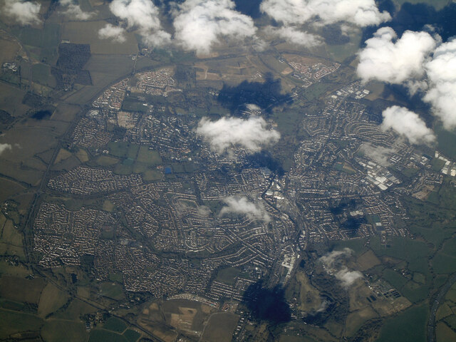
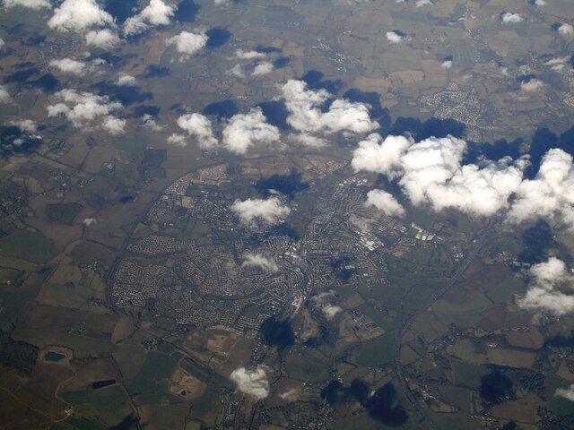
Thorley is a civil parish located in the East Hertfordshire district of Hertfordshire, England. Situated about two miles east of the town of Bishop's Stortford, Thorley covers an area of approximately 1.7 square miles. The parish is predominantly rural, characterized by open fields, farmland, and a few scattered residential areas.
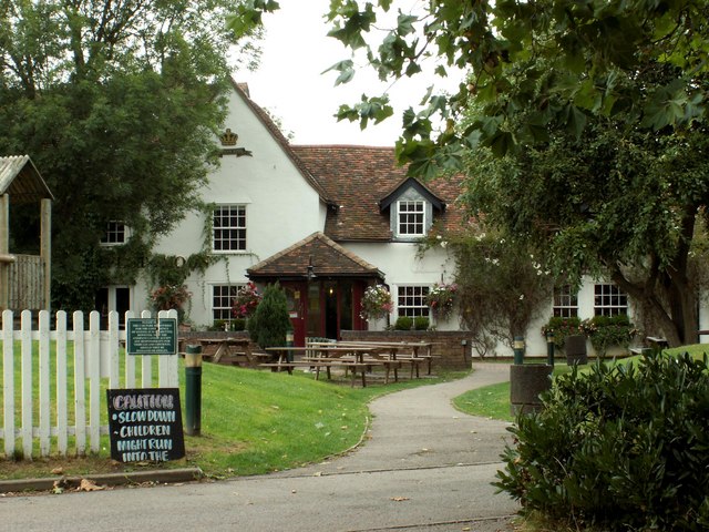
The village of Thorley itself is small, with a population of around 1,500 people. It is known for its charming and picturesque setting, with traditional English cottages and a peaceful atmosphere. The village is surrounded by greenery and offers residents and visitors a tranquil escape from the bustling nearby towns.
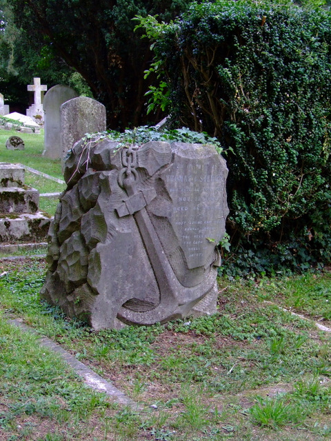
One notable feature of Thorley is its historic St. James' Church, which dates back to the 12th century. The church is a Grade II listed building and serves as a focal point for the community, hosting regular religious services and occasional events.
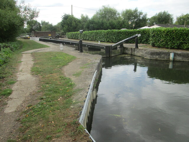
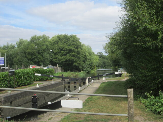
The nearby Thorley Wash nature reserve, managed by the Herts and Middlesex Wildlife Trust, provides a haven for local wildlife and offers opportunities for nature lovers to explore the wetland habitat. The reserve is home to various bird species, including herons and kingfishers, and features walking trails and bird hides for visitors to enjoy.
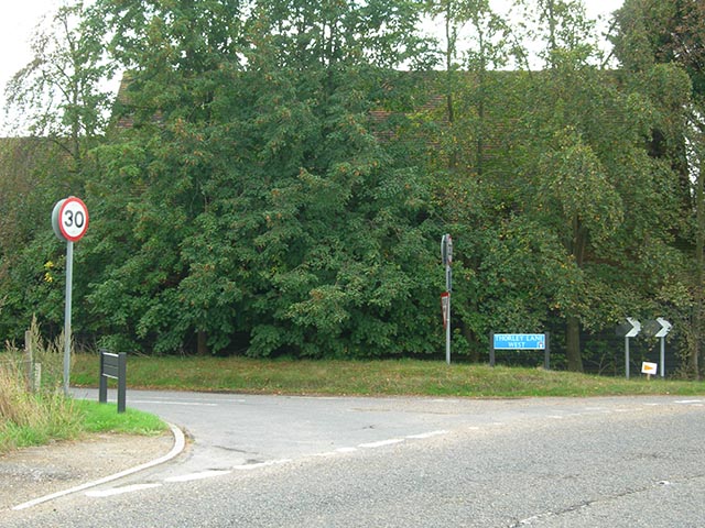
Despite its rural character, Thorley benefits from its proximity to Bishop's Stortford, which offers a range of amenities including shops, schools, and leisure facilities. The village is well-connected by road, with the A120 passing through the area, providing easy access to nearby towns and cities.
If you have any feedback on the listing, please let us know in the comments section below.
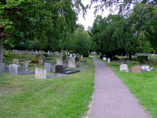
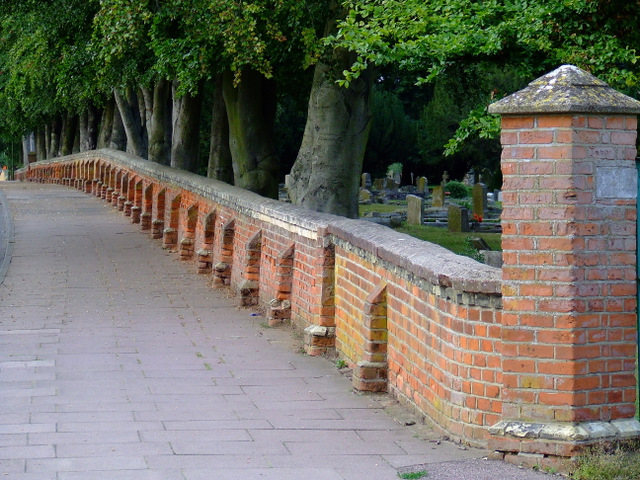
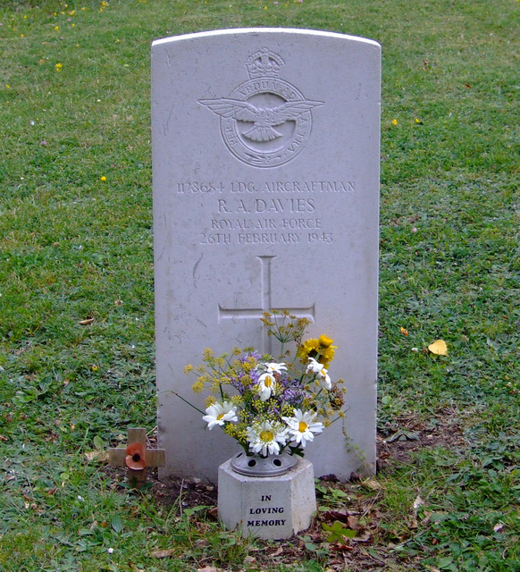
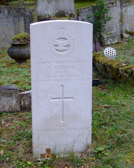
Thorley Images
Images are sourced within 2km of 51.847241/0.144084 or Grid Reference TL4718. Thanks to Geograph Open Source API. All images are credited.
Thorley is located at Grid Ref: TL4718 (Lat: 51.847241, Lng: 0.144084)
Administrative County: Hertfordshire
District: East Hertfordshire
Police Authority: Hertfordshire
What 3 Words
///port.input.cliff. Near Bishops Stortford, Hertfordshire
Nearby Locations
Related Wikis

Thorley, Hertfordshire
Thorley is a village and civil parish in Bishops Stortford, East Hertfordshire district of Hertfordshire, England. The parish includes the hamlets of Thorley...
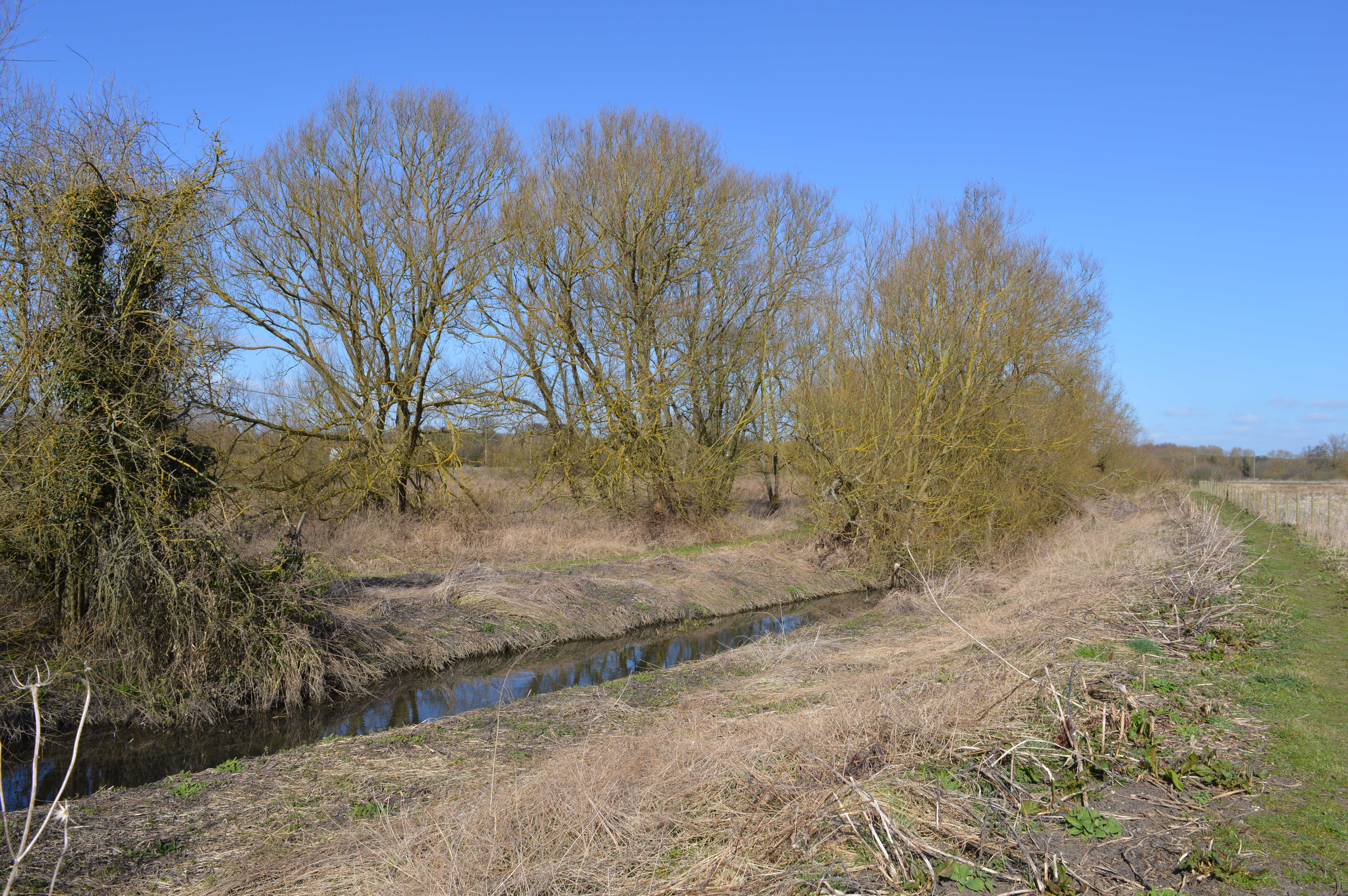
Thorley Wash nature reserve
Thorley Wash or Thorley Flood Pound is a 17.3-hectare biological Site of Special Scientific Interest in Thorley, south of Bishop's Stortford in Hertfordshire...

Spellbrook
Spellbrook is a hamlet in Hertfordshire, situated between Bishop's Stortford and Sawbridgeworth. == Location == Spellbrook is one mile south of Bishop...

Spelbrook railway station
Spelbrook railway station, also known as Spellbrook railway station, Spelbroke railway station and Spillbrook railway station served the hamlet of Spellbrook...
The Bishop's Stortford High School
The Bishop's Stortford High School (often abbreviated to TBSHS) is a comprehensive secondary school, with a coeducational sixth form, in Bishop's Stortford...

RAF Sawbridgeworth
Royal Air Force Sawbridgeworth or more simply RAF Sawbridgeworth is a former Royal Air Force station located 5.2 miles (8.4 km) north of Harlow, Essex...

Rushy Mead
Rushy Mead is a 4.6-hectare (11-acre) nature reserve on the bank of the River Stort in Essex, between Sawbridgeworth and Bishop's Stortford. Until the...

Little Hallingbury Marsh
Little Hallingbury Marsh is a 4.5-hectare (11-acre) biological Site of Special Scientific Interest adjacent to the River Stort, west of Little Hallingbury...
Nearby Amenities
Located within 500m of 51.847241,0.144084Have you been to Thorley?
Leave your review of Thorley below (or comments, questions and feedback).