Brookfield Spring

Wood, Forest in Hertfordshire East Hertfordshire

England

Brookfield Spring

Bishop's Stortford from the air Most of the town can be seen in this view from a Birmingham bound flight from Prague.
Bishop's Stortford from the air Credit: Thomas Nugent

The requested URL returned error: 429 Too Many Requests

If you have any feedback on the listing, please let us know in the comments section below.

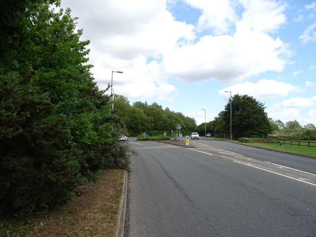
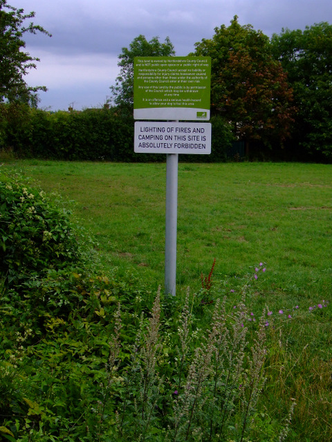
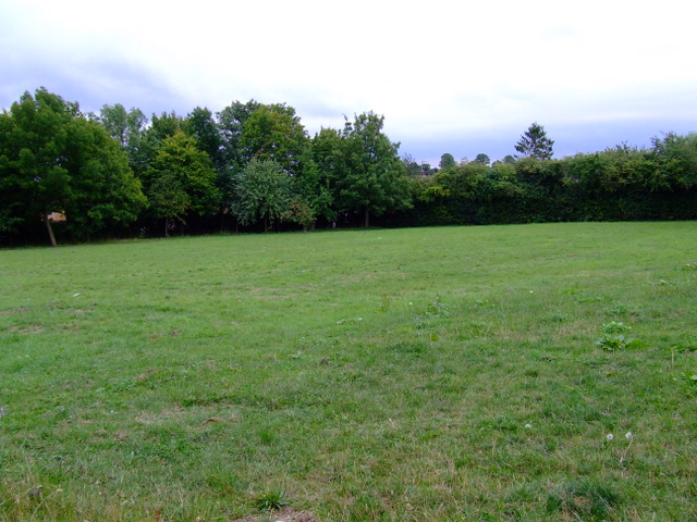
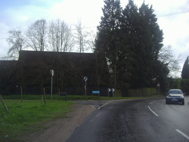
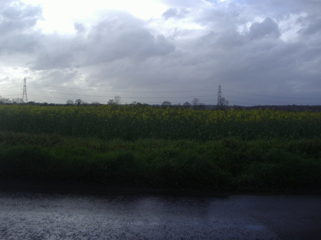
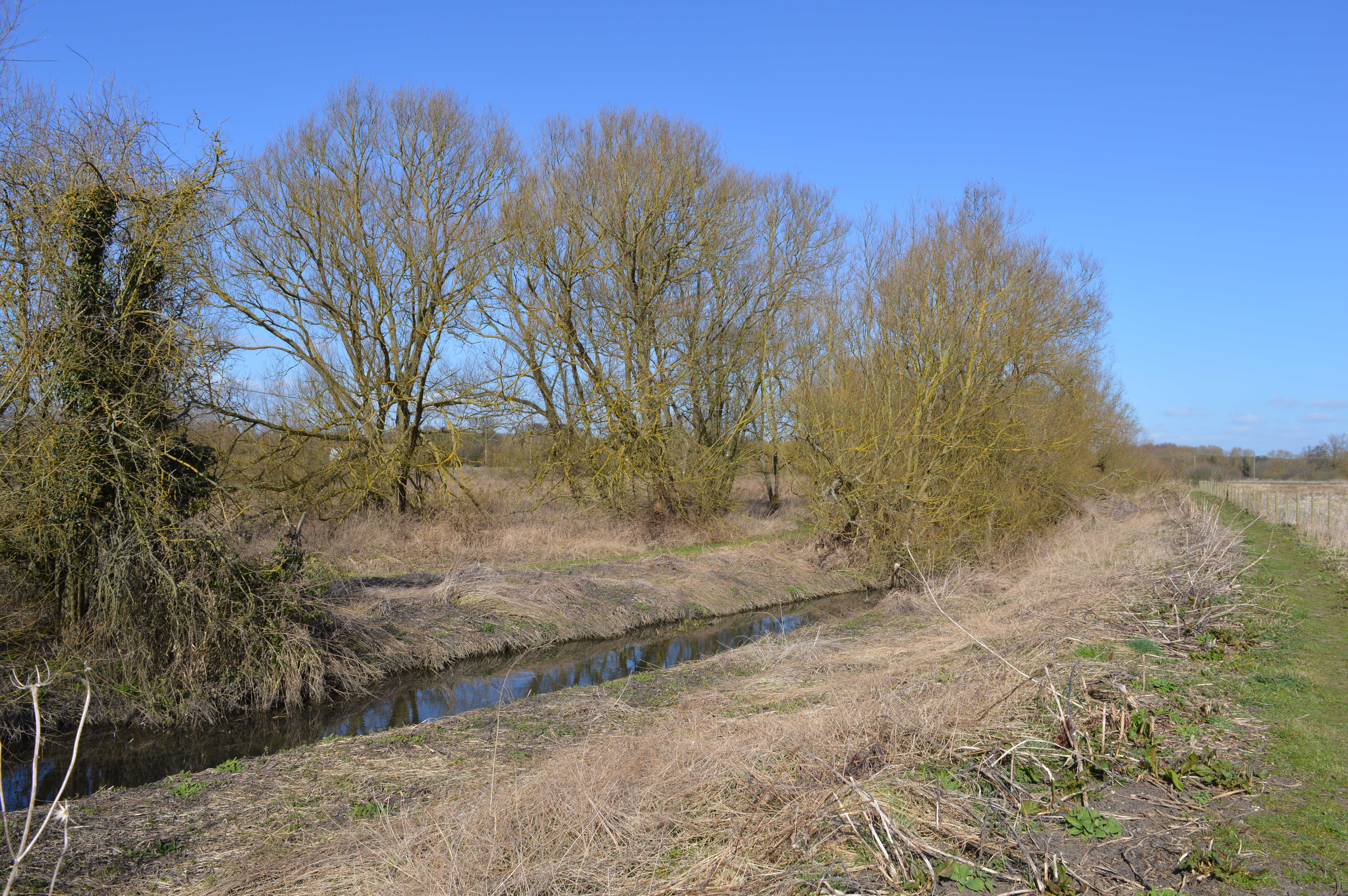
Brookfield Spring Images

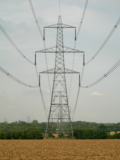
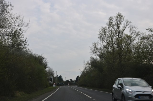
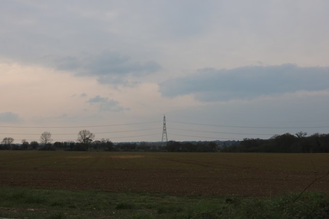
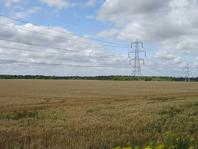
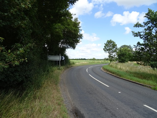
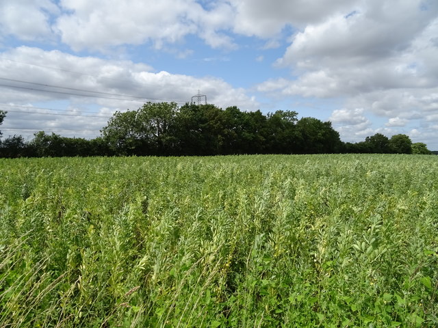
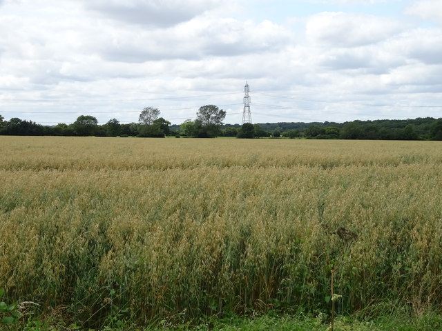
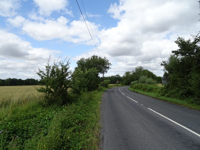
Images are sourced within 2km of 51.849062/0.13355653 or Grid Reference TL4718. Thanks to Geograph Open Source API. All images are credited.

Bishop's Stortford from the air Most of the town can be seen in this view from a Birmingham bound flight from Prague.
Bishop's Stortford from the air
Most of the town can be seen in this view from a Birmingham bound flight from Prague.
Bishop's Stortford from the air Looking over Thorley Street to the town from a Birmingham bound flight from Prague.
Bishop's Stortford from the air
Looking over Thorley Street to the town from a Birmingham bound flight from Prague.
'The Harvest Moon' inn, Bishop's Stortford, Herts. This building was once the farmhouse of Piggot's Farm.
'The Harvest Moon' inn, Bishop's Stortford, Herts.
This building was once the farmhouse of Piggot's Farm.
Thorley Lane West The entrance to the lane from the B1004, Castle Farm is to the right
Thorley Lane West
The entrance to the lane from the B1004, Castle Farm is to the right
Power lines The power lines cross the cross the byway at GR TL45932041
Power lines
The power lines cross the cross the byway at GR TL45932041
St James Way, Bishop's Stortford This is part of the ring road
St James Way, Bishop's Stortford
This is part of the ring road
Field by Hadham Road, Bishop's Stortford
Cereal crop and pylons West of Bishop's Stortford.
Cereal crop and pylons
West of Bishop's Stortford.
Bend in the B1004 towards Bishop's Stortford
Crop field off the B1004
Cereal crop, Thorley Houses Off the B1004.
Cereal crop, Thorley Houses
Off the B1004.
Great Hadham Road The B1004 towards Bishop's Stortford.
Great Hadham Road
The B1004 towards Bishop's Stortford.
Approaching a roundabout on the B1004 Towards Bishop's Stortford.
Approaching a roundabout on the B1004
Towards Bishop's Stortford.
Cox's Gardens New housing off Elizabeth Road.
Cox's Gardens
New housing off Elizabeth Road.
Warning notice On a piece of open ground at Cox's Gardens.
Warning notice
On a piece of open ground at Cox's Gardens.
Field off Cox's Gardens See here <a href="https://www.geograph.org.uk/photo/2563060">TL4820 : Warning notice</a> for conditions of use.
Field off Cox's Gardens
See here TL4820 : Warning notice for conditions of use.
Great Hadham Road at the junction of Thorley Lane West The rear of a converted barn is on the corner which is linked to the large farmhouse the other side of it.
Great Hadham Road at the junction of Thorley Lane West
The rear of a converted barn is on the corner which is linked to the large farmhouse the other side of it.
Rape fields by Great Hadham Road The April showers became April storms today.
Rape fields by Great Hadham Road
The April showers became April storms today.
Show me another place!

Brookfield Spring is located at Grid Ref: TL4718 (Lat: 51.849062, Lng: 0.13355653)

Administrative County: Hertfordshire

District: East Hertfordshire

Police Authority: Hertfordshire

What 3 Words

///bike.silver.brain. Near Bishops Stortford, Hertfordshire

Related Wikis

Thorley, Hertfordshire

Thorley is a village and civil parish in Bishops Stortford, East Hertfordshire district of Hertfordshire, England. The parish includes the hamlets of Thorley...

RAF Sawbridgeworth

Royal Air Force Sawbridgeworth or more simply RAF Sawbridgeworth is a former Royal Air Force station located 5.2 miles (8.4 km) north of Harlow, Essex...

Spellbrook

Spellbrook is a hamlet in Hertfordshire, situated between Bishop's Stortford and Sawbridgeworth. == Location == Spellbrook is one mile south of Bishop...

Thorley Wash nature reserve

Thorley Wash or Thorley Flood Pound is a 17.3-hectare biological Site of Special Scientific Interest in Thorley, south of Bishop's Stortford in Hertfordshire...

Nearby Amenities

Located within 500m of 51.849062,0.13355653
Crossing
Crossing: unmarked
Crossing Island: no
Crossing Markings: no
Tactile Paving: no
Lat/Long: 51.8515093/0.1376076
Barrier: wicket_gate
Lat/Long: 51.8509862/0.1388509
Barrier: kissing_gate
Lat/Long: 51.848728/0.1405794
Barrier: kissing_gate
Lat/Long: 51.8515733/0.1376611
Power: pole
Lat/Long: 51.8500934/0.1289385
Power: pole
Lat/Long: 51.8506219/0.1302105
Power: pole
Lat/Long: 51.8513377/0.1313156
Power: pole
Lat/Long: 51.852036/0.1323663
Barrier: bollard
Lat/Long: 51.8529946/0.132917
The data included in this document is from www.openstreetmap.org. The data is made available under ODbL.

Have you been to Brookfield Spring?

Leave your review of Brookfield Spring below (or comments, questions and feedback).