Bryn-y-groes

Settlement in Montgomeryshire

Wales

Bryn-y-groes

Lane with a view View from one of the network of lanes between Tregynon and Caersws.
Lane with a view Credit: Andrew Hill

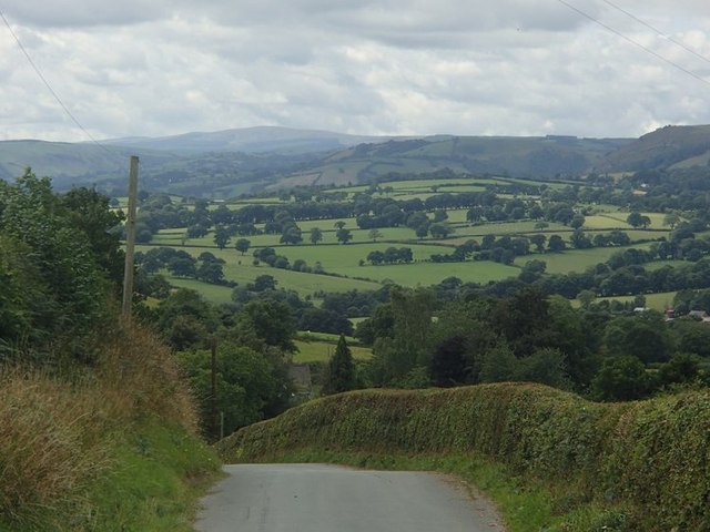
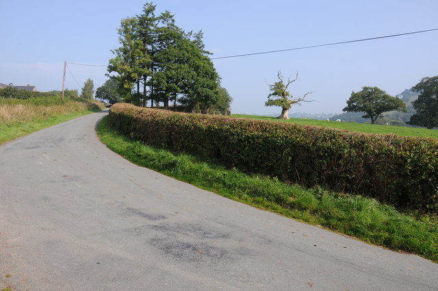
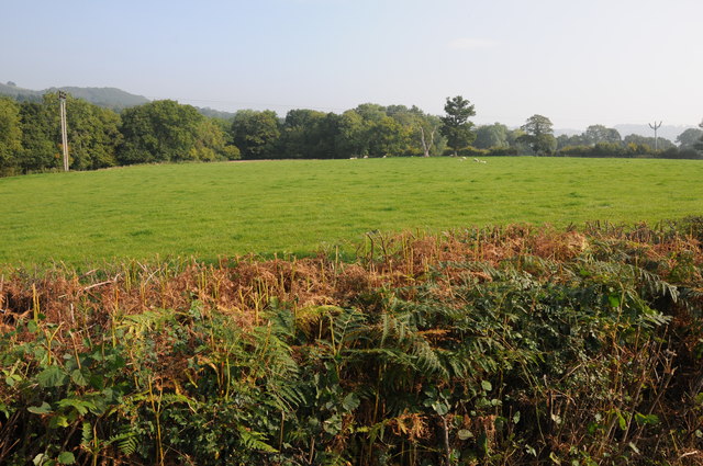
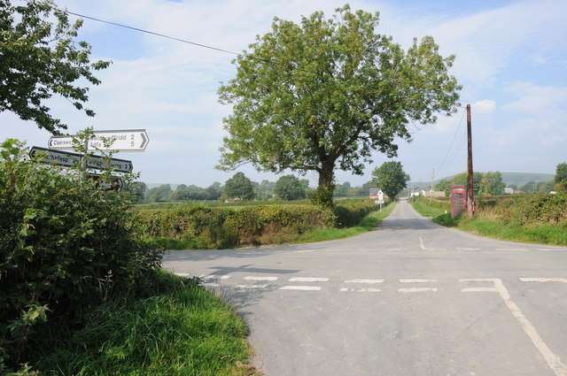
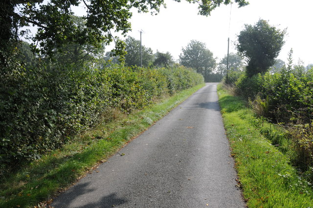
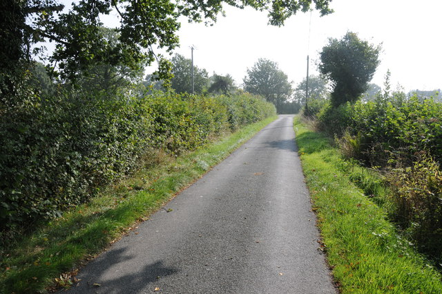
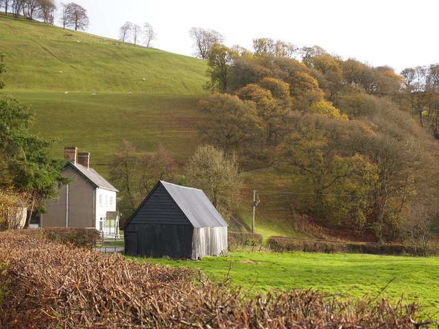
Bryn-y-groes is a small village located in the county of Montgomeryshire, Wales. Situated in the picturesque countryside, it is surrounded by rolling hills and lush green fields. The village is approximately 3 miles southeast of the town of Newtown, making it easily accessible for residents and visitors alike.

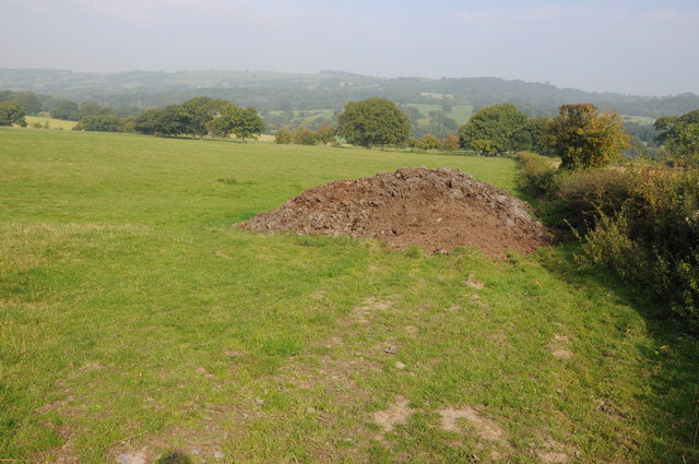
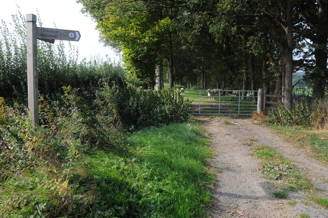
Historically, Bryn-y-groes was an agricultural community, with farming playing a vital role in the local economy. While farming still remains an important part of the village's identity, it has also seen a gradual shift towards a more diversified economy, with some residents now working in nearby towns or commuting to larger cities for employment.

The village itself is characterized by traditional Welsh architecture, featuring stone-built houses and a charming village center. It boasts a close-knit community, with a population of around 400 people. There is a primary school serving the village and the surrounding areas, providing education for the younger residents.

Nature lovers and outdoor enthusiasts are attracted to Bryn-y-groes for its stunning scenery and numerous walking trails. The area offers ample opportunities for hiking, cycling, and exploring the surrounding natural beauty. Additionally, the village is within close proximity to the picturesque River Severn, which is popular for fishing and boating activities.

Overall, Bryn-y-groes is a tranquil and idyllic village in Montgomeryshire, known for its rural charm, breathtaking landscapes, and strong sense of community.

If you have any feedback on the listing, please let us know in the comments section below.
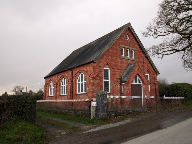
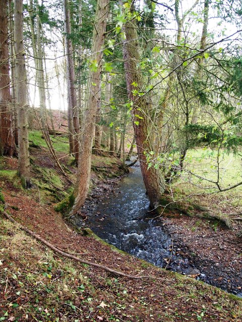
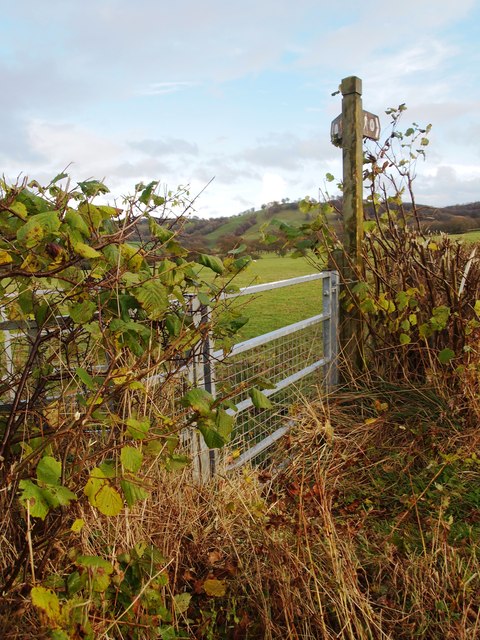
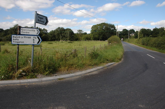
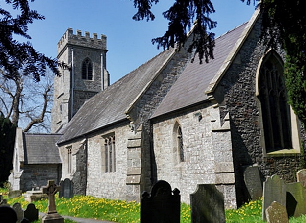
Bryn-y-groes Images

Images are sourced within 2km of 52.53834/-3.384161 or Grid Reference SO0694. Thanks to Geograph Open Source API. All images are credited.

Lane with a view View from one of the network of lanes between Tregynon and Caersws.
Lane with a view
View from one of the network of lanes between Tregynon and Caersws.
Country road near Glanrhyd, Aberhafesp
Farmland near Bwlch-y-Ffridd The Severn Way passes across this farmland in the middle distance.
Farmland near Bwlch-y-Ffridd
The Severn Way passes across this farmland in the middle distance.
Severn Way, near Bwlch-y-Ffridd The Severn Way between Caersws and Newtown.
Severn Way, near Bwlch-y-Ffridd
The Severn Way between Caersws and Newtown.
Farmland near Bwlch-y-Ffridd
Crossroads near Bethel Crossroads approaching Bethel on the road from Aberhafesp.
Crossroads near Bethel
Crossroads approaching Bethel on the road from Aberhafesp.
Country road near Bethel The road juncture 100 metres ahead is on the site of a former Roman road.
Country road near Bethel
The road juncture 100 metres ahead is on the site of a former Roman road.
Country road near Bethel The road juncture 100 metres ahead is on the site of a former Roman road.
Country road near Bethel
The road juncture 100 metres ahead is on the site of a former Roman road.
Bethel Chapel
Bethel Chapel
Nant yr Geb
Nant yr Geb
Severn Way Near Cefn-coch
Melin-y-gloch Farm
Melin-y-gloch Farm
Festival Bridge, near Aberhafesp Festival Bridge is a suspension bridge carrying a footpath over the River Severn to the west of Aberhafesp.
Festival Bridge, near Aberhafesp
Festival Bridge is a suspension bridge carrying a footpath over the River Severn to the west of Aberhafesp.
On Festival Bridge, near Aberhafesp Festival Bridge carries a footpath over the River Severn to the west of Aberhafesp.
On Festival Bridge, near Aberhafesp
Festival Bridge carries a footpath over the River Severn to the west of Aberhafesp.
The River Severn near Aberhafesp The River Severn viewed from the Festival Bridge, a suspension bridge carrying a footpath. Houses in the small village of Aberhafesp can be seen to the left in the middle distance. Here the river is only some thirty miles from its source and already it is quite wide.
The River Severn near Aberhafesp
The River Severn viewed from the Festival Bridge, a suspension bridge carrying a footpath. Houses in the small village of Aberhafesp can be seen to the left in the middle distance. Here the river is only some thirty miles from its source and already it is quite wide.
Road junction near Rhydlydan
Bridleway to Aberhafesp The bridleway to Aberhafesp follows a track through this straw field.
Bridleway to Aberhafesp
The bridleway to Aberhafesp follows a track through this straw field.
The Severn Way above Aberhafesp View over the Severn valley above the village of Aberhafesp, the farm in the middle distance is Fachwen.
The Severn Way above Aberhafesp
View over the Severn valley above the village of Aberhafesp, the farm in the middle distance is Fachwen.
Show me another place!

Bryn-y-groes is located at Grid Ref: SO0694 (Lat: 52.53834, Lng: -3.384161)

Unitary Authority: Powys

Police Authority: Dyfed Powys

What 3 Words

///botanists.turned.defensive. Near Mochdre, Powys

Related Wikis

Aberhafesp

Aberhafesp is a small village and community in Montgomeryshire, Powys, Wales. The hamlet of Bwlch-y-Ffridd is within the community. It is situated about...
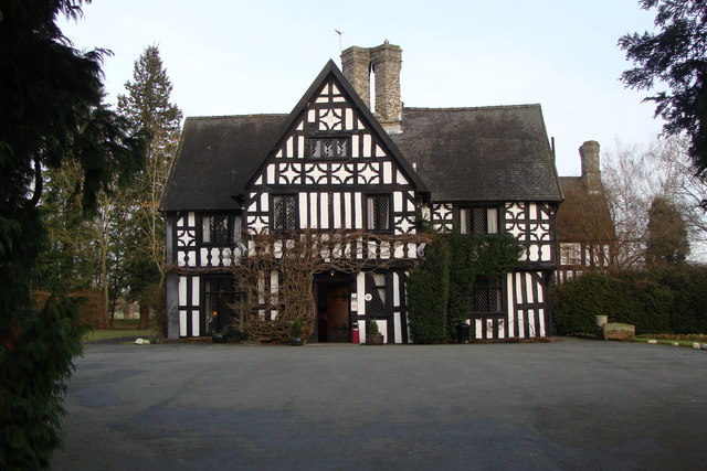
Maesmawr Hall

Maesmawr Hall is a historic timber-framed house, situated to the southeast of Caersws, in the historic county of Montgomeryshire, which now forms part...

Caersws

Caersws (Welsh: Caersŵs; pronounced [kɑːɨrˈsuːs] ) is a village and community on the River Severn, in the Welsh county of Powys (Montgomeryshire) 5 miles...

Penstrowed

Penstrowed is a historic Montgomeryshire parish to the west of Newtown, now in the community of Mochdre with Penstrowed, Powys, Wales . == Description... ==

Nearby Amenities

Located within 500m of 52.53834,-3.384161
Power: pole
Lat/Long: 52.5415277/-3.3795163
Power: pole
Lat/Long: 52.5414315/-3.3820885
Power: pole
Lat/Long: 52.5413466/-3.3840868
Power: pole
Lat/Long: 52.5417202/-3.3855379
Power: pole
Lat/Long: 52.5421052/-3.3872142
The data included in this document is from www.openstreetmap.org. The data is made available under ODbL.

Have you been to Bryn-y-groes?

Leave your review of Bryn-y-groes below (or comments, questions and feedback).