Bryn-y-garreg

Settlement in Flintshire

Wales

Bryn-y-garreg

Flint Mountain Woodland
Flint Mountain Woodland Credit: Carly McCarthy

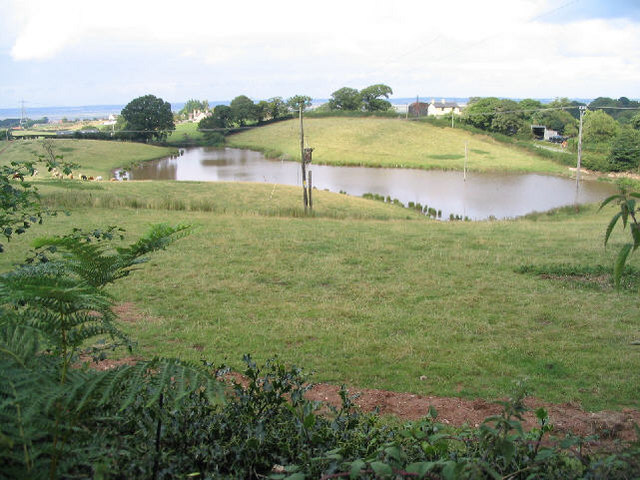
Bryn-y-garreg is a small village located in Flintshire, Wales. It is situated near the border with England, surrounded by rolling hills and picturesque countryside. The village is known for its tranquil setting and close-knit community.

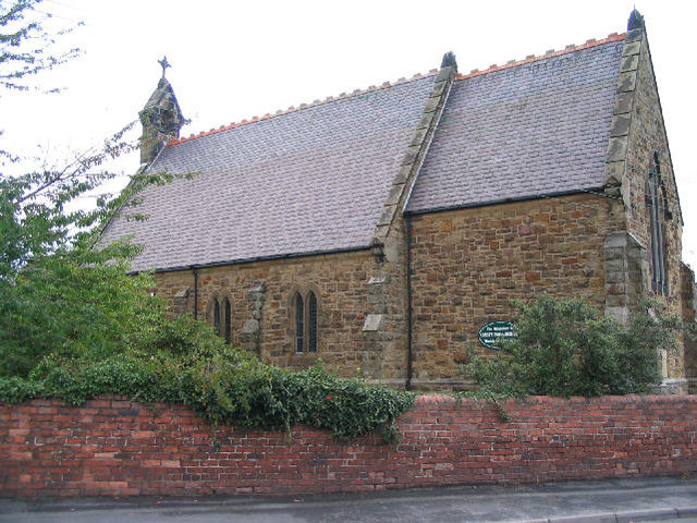
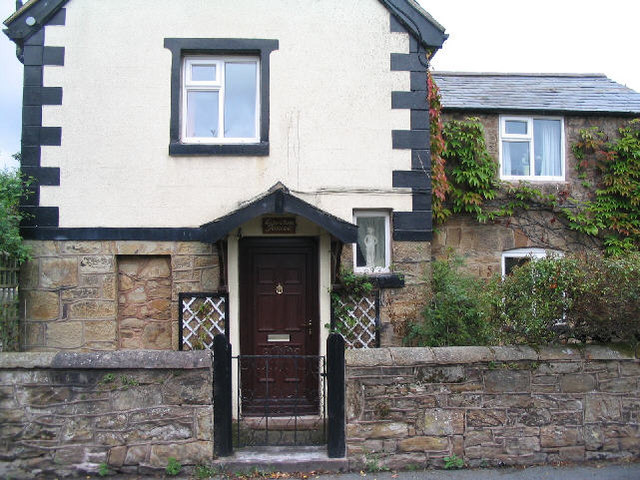
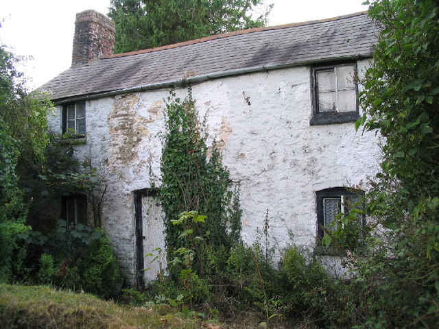
Bryn-y-garreg has a rich history, with evidence of settlements dating back to Roman times. The village is home to a number of historic buildings, including a medieval church and several charming cottages. The local economy is mainly agricultural, with many residents working on nearby farms or in small businesses.

Despite its rural location, Bryn-y-garreg offers amenities such as a village hall, pub, and primary school. The village is well-connected by road, with easy access to the nearby towns of Mold and Wrexham.

Overall, Bryn-y-garreg is a peaceful and idyllic village, perfect for those seeking a quiet and close community in a beautiful countryside setting.

If you have any feedback on the listing, please let us know in the comments section below.

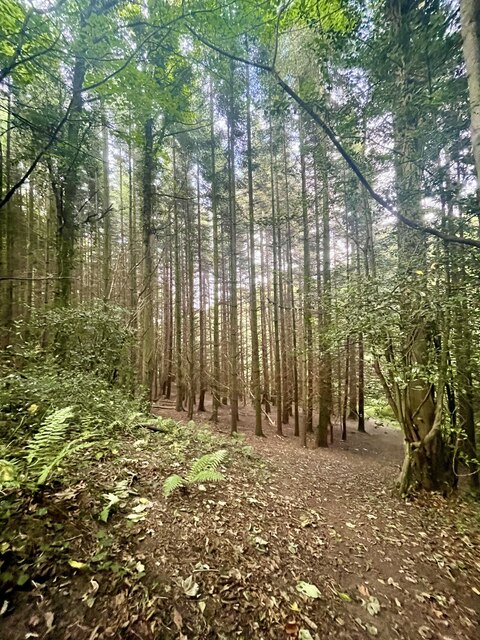
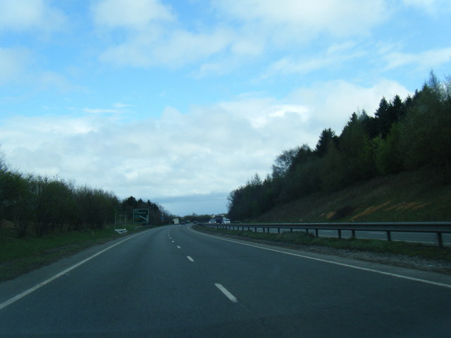
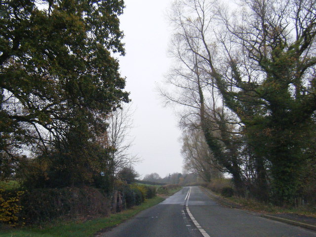
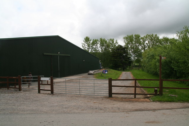
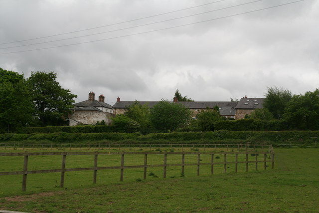
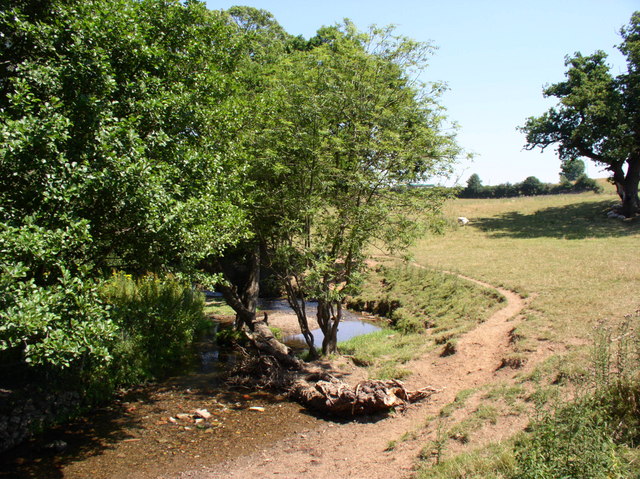
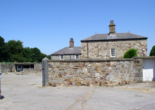
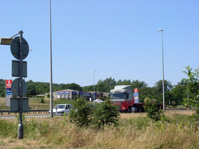
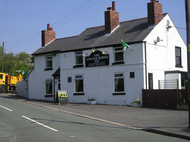
Bryn-y-garreg Images

Images are sourced within 2km of 53.222647/-3.150288 or Grid Reference SJ2370. Thanks to Geograph Open Source API. All images are credited.

Flint Mountain Woodland
A55  south of Flint Mountain
A55 south of Flint Mountain
A55 near Northop
A55 near Northop
A55 east of Northop
A55 east of Northop
B5126 at Coleg Cambria, Northop
B5126 near Plas Newydd, the main road before the A55
Horse paddocks at Colleg Cambria, Northop
Riding arena at Colleg Cambria, Northop
Coed-y-cra Farm on Maes Celyn, from Colleg Cambria, Northop
Hillside field, with stream. South east of Flint.
Hillside field, with stream.
South east of Flint.
Coed- y -Cra Farm West of the A55 near Halkyn.
Coed- y -Cra Farm
West of the A55 near Halkyn.
Service Stop on the A55 Little Chef on the busy A55 near Halkyn.
Service Stop on the A55
Little Chef on the busy A55 near Halkyn.
More of Flint High School
St Thomas Church, Flint Mountain Flint Mountain is the name of the village, it's actually on a small hill.
St Thomas Church, Flint Mountain
Flint Mountain is the name of the village, it's actually on a small hill.
Egerton House, Flint Mountain
Lake, Bryn-y-garreg I suspect this is an artificial lake, as it's not shown on my map...
Lake, Bryn-y-garreg
I suspect this is an artificial lake, as it's not shown on my map...
Disused cottage, Bryn-y-garreg
Footbridge over Nant-y-Fflint Wat's Dyke Way makes its way through this old woodland crossing the stream at the footbridge.  The stile to the left bears a sign 'Not a public footpath', and is for the convenience of the landowner.
Footbridge over Nant-y-Fflint
Wat's Dyke Way makes its way through this old woodland crossing the stream at the footbridge. The stile to the left bears a sign 'Not a public footpath', and is for the convenience of the landowner.
Show me another place!

Bryn-y-garreg is located at Grid Ref: SJ2370 (Lat: 53.222647, Lng: -3.150288)

Unitary Authority: Flintshire

Police Authority: North Wales

What 3 Words

///trick.mailers.income. Near Northop, Flintshire

Related Wikis

Flint Mountain

Flint Mountain (Welsh: Mynydd-y-Fflint) is a small village seated in Flintshire, North Wales, approximately 12 miles west of the city of Chester, midway...

Northop College

Northop College in Flintshire, North Wales is jointly operated by Glyndwr University and Coleg Cambria. Formerly known as the Welsh College of Horticulture...

Milwr Tunnel

The Milwr Tunnel is a mine drainage adit running some 10 miles from the hamlet of Cadole near Loggerheads, Denbighshire to Bagillt on the Dee Estuary in...

Flintshire Coalfield

The Flintshire Coalfield in north-east Wales is one of the smaller British coalfields. It is in the county of Flintshire and extends from the Point of...

Nearby Amenities

Located within 500m of 53.222647,-3.150288
Man Made: water_well
Lat/Long: 53.2216931/-3.1446429
Power: pole
Lat/Long: 53.2260458/-3.1466491
Power: pole
Lat/Long: 53.225372/-3.1473307
Power: pole
Lat/Long: 53.2245688/-3.1471043
Power: pole
Lat/Long: 53.2233347/-3.1467934
Power: pole
Lat/Long: 53.2222543/-3.1465264
Power: pole
Lat/Long: 53.2216473/-3.1463811
Power: pole
Lat/Long: 53.2209938/-3.1452389
Power: pole
Lat/Long: 53.2205486/-3.144465
Direction: 100
Generator Method: photovoltaic
Generator Output Electricity: yes
Generator Solar Modules: 8
Generator Source: solar
Generator Type: solar_photovoltaic_panel
Location: roof
Power: generator
Lat/Long: 53.2220759/-3.143042
Direction: 280
Generator Method: photovoltaic
Generator Output Electricity: yes
Generator Solar Modules: 8
Generator Source: solar
Generator Type: solar_photovoltaic_panel
Location: roof
Power: generator
Lat/Long: 53.2220807/-3.143088
Direction: 215
Generator Method: photovoltaic
Generator Output Electricity: yes
Generator Solar Modules: 16
Generator Source: solar
Generator Type: solar_photovoltaic_panel
Location: roof
Power: generator
Lat/Long: 53.2194586/-3.1478841
The data included in this document is from www.openstreetmap.org. The data is made available under ODbL.

Have you been to Bryn-y-garreg?

Leave your review of Bryn-y-garreg below (or comments, questions and feedback).