Bryn-y-garreg Wood

Wood, Forest in Flintshire

Wales

Bryn-y-garreg Wood

Flint Mountain Woodland
Flint Mountain Woodland Credit: Carly McCarthy

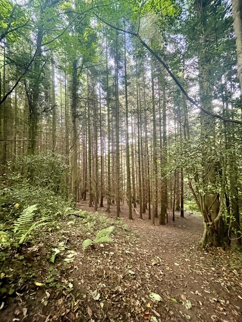
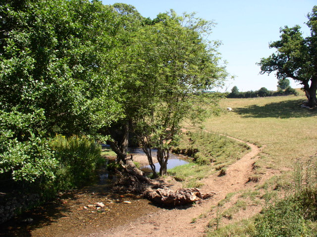
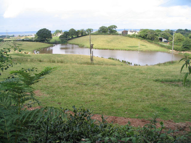
Bryn-y-garreg Wood is a picturesque woodland located in Flintshire, Wales. Covering an area of approximately 30 hectares, the woodland is home to a diverse range of flora and fauna. The woodland is predominantly made up of broadleaf trees such as oak, beech, and birch, creating a rich and vibrant ecosystem.

Visitors to Bryn-y-garreg Wood can enjoy a variety of walking trails that wind through the trees, providing opportunities to observe the wildlife that calls the woodland home. Birdwatchers may catch a glimpse of species such as woodpeckers, nuthatches, and tawny owls, while those with a keen eye may spot red squirrels darting through the branches.

The woodland is a popular destination for nature lovers and outdoor enthusiasts, offering a tranquil and peaceful escape from the hustle and bustle of everyday life. With its stunning natural beauty and abundance of wildlife, Bryn-y-garreg Wood is a must-visit destination for anyone looking to explore the great outdoors in Flintshire.

If you have any feedback on the listing, please let us know in the comments section below.

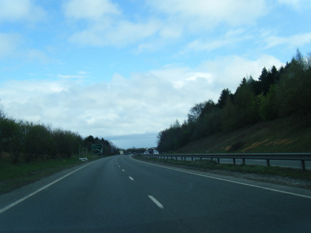
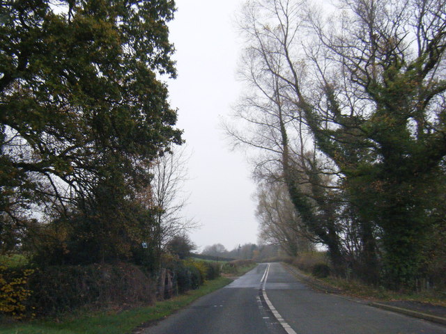
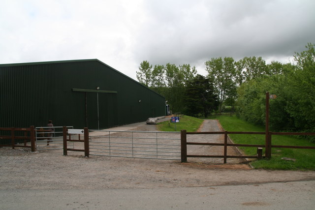
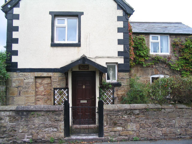
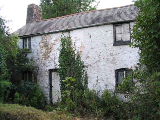
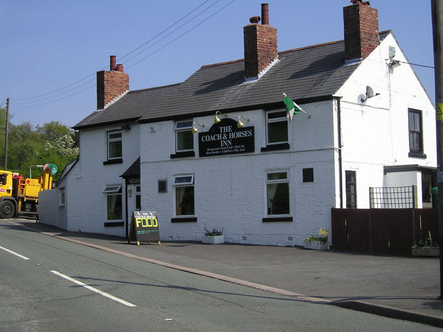
Bryn-y-garreg Wood Images

Images are sourced within 2km of 53.227579/-3.1489966 or Grid Reference SJ2370. Thanks to Geograph Open Source API. All images are credited.

Flint Mountain Woodland
A55  south of Flint Mountain
A55 south of Flint Mountain
A55 near Northop
A55 near Northop
B5126 at Coleg Cambria, Northop
B5126 near Plas Newydd, the main road before the A55
Horse paddocks at Colleg Cambria, Northop
Riding arena at Colleg Cambria, Northop
Playground At Cornist Park, Flint.
Playground
At Cornist Park, Flint.
Hillside field, with stream. South east of Flint.
Hillside field, with stream.
South east of Flint.
Coed- y -Cra Farm West of the A55 near Halkyn.
Coed- y -Cra Farm
West of the A55 near Halkyn.
Service Stop on the A55 Little Chef on the busy A55 near Halkyn.
Service Stop on the A55
Little Chef on the busy A55 near Halkyn.
Flint High School
Flint High School
More of Flint High School
St Thomas Church, Flint Mountain Flint Mountain is the name of the village, it's actually on a small hill.
St Thomas Church, Flint Mountain
Flint Mountain is the name of the village, it's actually on a small hill.
Egerton House, Flint Mountain
Lake, Bryn-y-garreg I suspect this is an artificial lake, as it's not shown on my map...
Lake, Bryn-y-garreg
I suspect this is an artificial lake, as it's not shown on my map...
Disused cottage, Bryn-y-garreg
Footbridge over Nant-y-Fflint Wat's Dyke Way makes its way through this old woodland crossing the stream at the footbridge.  The stile to the left bears a sign 'Not a public footpath', and is for the convenience of the landowner.
Footbridge over Nant-y-Fflint
Wat's Dyke Way makes its way through this old woodland crossing the stream at the footbridge. The stile to the left bears a sign 'Not a public footpath', and is for the convenience of the landowner.
Show me another place!

Bryn-y-garreg Wood is located at Grid Ref: SJ2370 (Lat: 53.227579, Lng: -3.1489966)

Unitary Authority: Flintshire

Police Authority: North Wales

What 3 Words

///health.conspired.sooner. Near Flint, Flintshire

Related Wikis

Flint Mountain

Flint Mountain (Welsh: Mynydd-y-Fflint) is a small village seated in Flintshire, North Wales, approximately 12 miles west of the city of Chester, midway...

Northop College

Northop College in Flintshire, North Wales is jointly operated by Glyndwr University and Coleg Cambria. Formerly known as the Welsh College of Horticulture...

Cornist Hall

Cornist Hall is a large house 1 mile (1.6 km) west-southwest of the town of Flint, Flintshire, Wales. It was the birthplace in 1746 of Thomas Totty, an...

Milwr Tunnel

The Milwr Tunnel is a mine drainage adit running some 10 miles from the hamlet of Cadole near Loggerheads, Denbighshire to Bagillt on the Dee Estuary in...

Nearby Amenities

Located within 500m of 53.227579,-3.1489966
Power: pole
Lat/Long: 53.2315644/-3.1464048
Power: pole
Lat/Long: 53.2307775/-3.1461175
Power: pole
Lat/Long: 53.2297438/-3.1457661
Power: pole
Lat/Long: 53.2286358/-3.1453742
Power: pole
Lat/Long: 53.2277269/-3.1450665
Power: pole
Lat/Long: 53.2268763/-3.1458779
Power: pole
Lat/Long: 53.2260458/-3.1466491
Power: pole
Lat/Long: 53.225372/-3.1473307
Power: pole
Lat/Long: 53.2245688/-3.1471043
Power: pole
Lat/Long: 53.2233347/-3.1467934
Power: pole
Lat/Long: 53.2313264/-3.150594
Power: pole
Lat/Long: 53.2315604/-3.1503545
Power: pole
Lat/Long: 53.2311283/-3.1492031
Power: pole
Lat/Long: 53.2308402/-3.1483643
Power: pole
Lat/Long: 53.230533/-3.1476742
Power: pole
Lat/Long: 53.2303868/-3.1471539
Power: pole
Lat/Long: 53.2314088/-3.1498166
Power: pole
Lat/Long: 53.2311114/-3.1509301
Power: pole
Lat/Long: 53.2301527/-3.1463665
Power: pole
Lat/Long: 53.2294387/-3.1426212
Power: pole
Lat/Long: 53.2294774/-3.1437304
Power: pole
Lat/Long: 53.2285305/-3.1420072
Power: pole
Lat/Long: 53.2281615/-3.1421987
Note: continue
Lat/Long: 53.2314468/-3.1498615
Barrier: stile
Foot: yes
Lat/Long: 53.2312244/-3.1509662
The data included in this document is from www.openstreetmap.org. The data is made available under ODbL.

Have you been to Bryn-y-garreg Wood?

Leave your review of Bryn-y-garreg Wood below (or comments, questions and feedback).