Aberhafesp
Community in Montgomeryshire
Wales
Aberhafesp
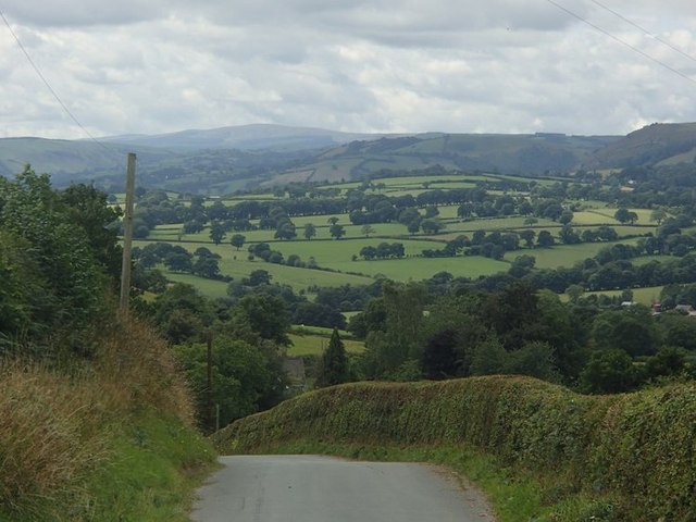
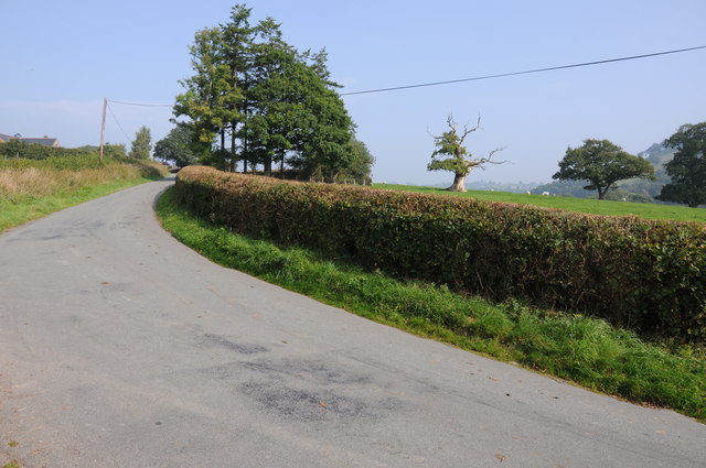
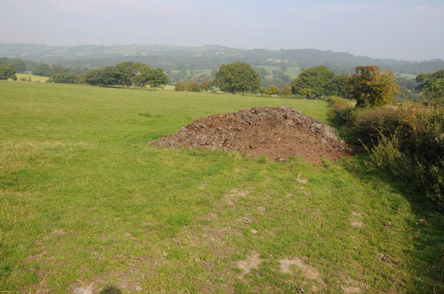
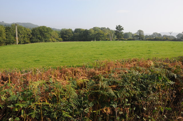
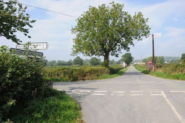
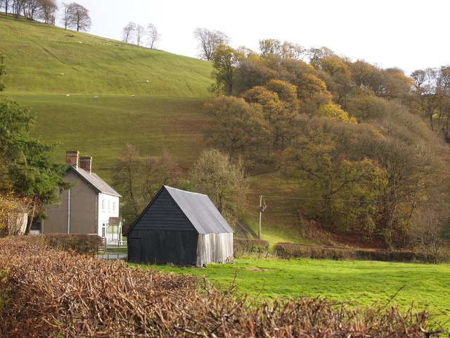
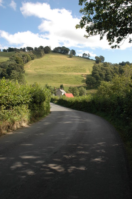
Aberhafesp is a small community located in Montgomeryshire, Powys, Wales. Situated in the beautiful countryside, it is surrounded by rolling hills and picturesque landscapes. The community covers an area of approximately 6 square miles and is home to a population of around 300 residents.
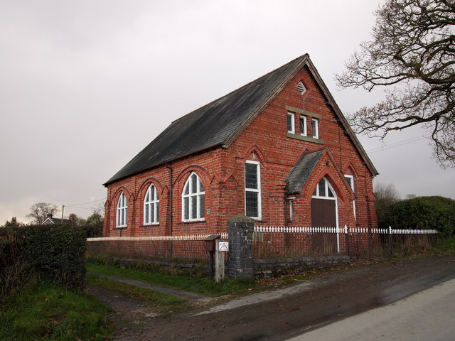
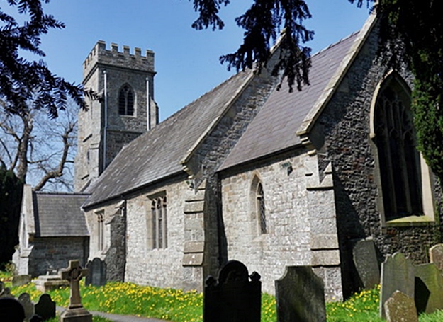
The village of Aberhafesp is the main settlement in the community and is known for its charming character and historical significance. It dates back to the medieval period and still retains many of its original buildings and structures. The village is centered around St. Gwynog's Church, a Grade II listed building that dates back to the 13th century.
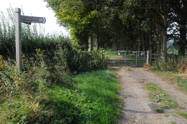
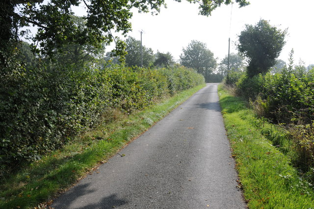
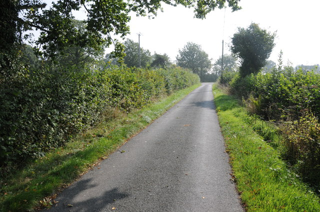
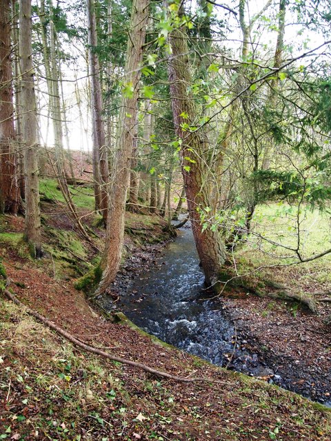
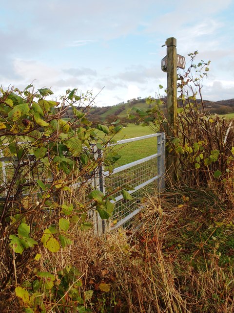
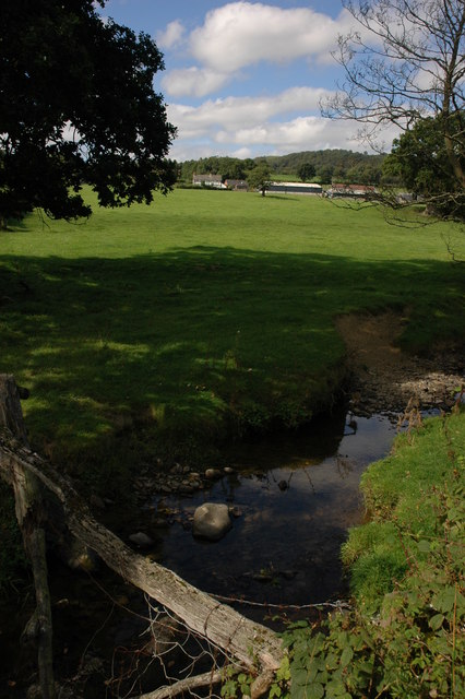
Aberhafesp is renowned for its natural beauty and offers plenty of opportunities for outdoor activities. The area is crisscrossed by numerous walking trails, allowing visitors and locals to explore the stunning countryside and enjoy the fresh air. The nearby River Severn flows through the community, providing a tranquil setting for fishing and boating enthusiasts.
The community also boasts a strong sense of community spirit, with various events and activities taking place throughout the year. The annual Aberhafesp Show is a highlight, showcasing the talents of local farmers, craftspeople, and artists.
In terms of amenities, Aberhafesp has a primary school, a village hall, and a community center, providing gathering spaces for residents. While it may be a small community, Aberhafesp offers a warm and welcoming environment, making it an attractive place to live or visit for those seeking a peaceful and idyllic setting.
If you have any feedback on the listing, please let us know in the comments section below.
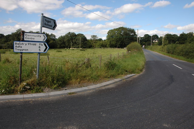
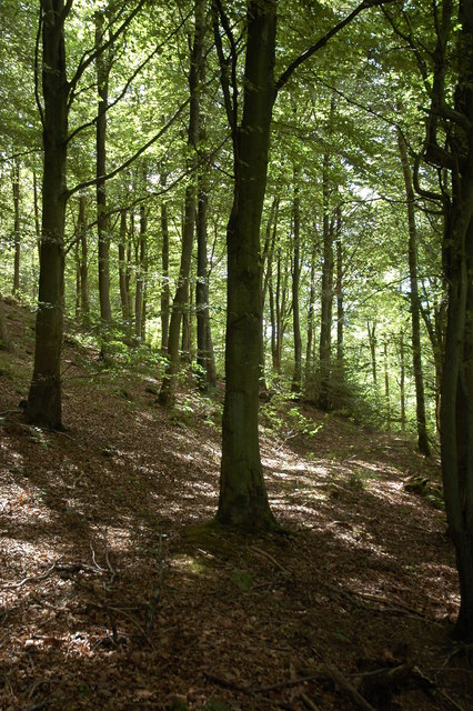
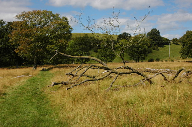
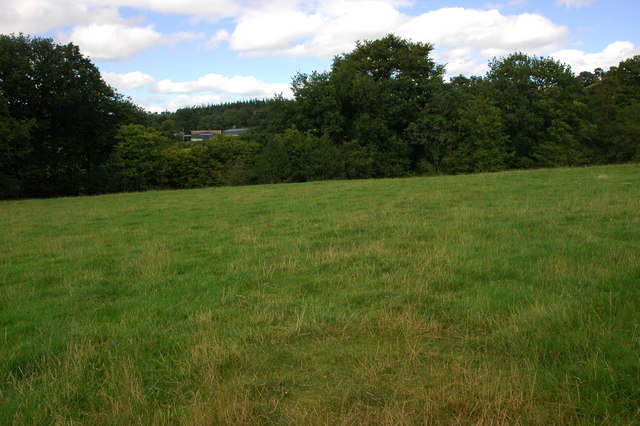
Aberhafesp Images
Images are sourced within 2km of 52.543461/-3.387567 or Grid Reference SO0694. Thanks to Geograph Open Source API. All images are credited.
Aberhafesp is located at Grid Ref: SO0694 (Lat: 52.543461, Lng: -3.387567)
Unitary Authority: Powys
Police Authority: Dyfed Powys
Also known as: Aberhafesb
What 3 Words
///mixer.request.facelift. Near Newtown, Powys
Nearby Locations
Related Wikis
Aberhafesp
Aberhafesp is a small village and community in Montgomeryshire, Powys, Wales. The hamlet of Bwlch-y-Ffridd is within the community. It is situated about...

Caersws
Caersws (Welsh: Caersŵs; pronounced [kɑːɨrˈsuːs] ) is a village and community on the River Severn, in the Welsh county of Powys (Montgomeryshire) 5 miles...
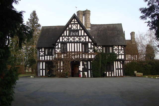
Maesmawr Hall
Maesmawr Hall is a historic timber-framed house, situated to the southeast of Caersws, in the historic county of Montgomeryshire, which now forms part...

Gregynog Hall
Gregynog (Welsh pronunciation: [ɡrɛˈɡənɔɡ]) is a large country mansion in the village of Tregynon, 4 miles (6.4 km) northwest of Newtown in the old county...

Llanwnnog
Llanwnog is a village in Powys, Wales. It is located one-and-a half miles north of Caersws in the community of the same name, on the B4568 road. The Ordnance...

Penstrowed
Penstrowed is a historic Montgomeryshire parish to the west of Newtown, now in the community of Mochdre with Penstrowed, Powys, Wales . == Description... ==

Moat Lane Junction railway station
Moat Lane Junction was a railway junction in Montgomeryshire near to the village of Caersws in mid-Wales. It was the junction where the Newtown and Machynlleth...

Caersws railway station
Caersws railway station is on the Cambrian Line in mid-Wales, serving the village of Caersws. It is notable in that there are 22 miles (35 km) separating...
Nearby Amenities
Located within 500m of 52.543461,-3.387567Have you been to Aberhafesp?
Leave your review of Aberhafesp below (or comments, questions and feedback).