Abergwili
Community in Carmarthenshire
Wales
Abergwili

Abergwili is a small community located in the county of Carmarthenshire, Wales. Situated just 2 miles north of Carmarthen, the community is nestled in a picturesque setting along the banks of the River Towy.
The community of Abergwili is known for its rich history and cultural significance. One of the most iconic landmarks in the area is Abergwili Palace, a stunning Georgian mansion that was once the residence of the Bishops of St Davids. Today, the palace is home to the Carmarthenshire County Museum, which showcases a wide range of exhibits that chronicle the history and heritage of the region.
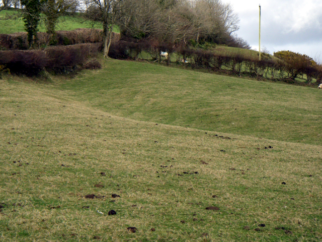
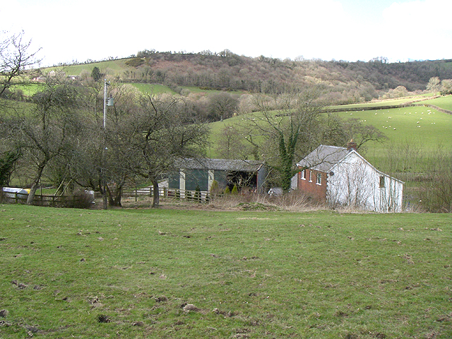
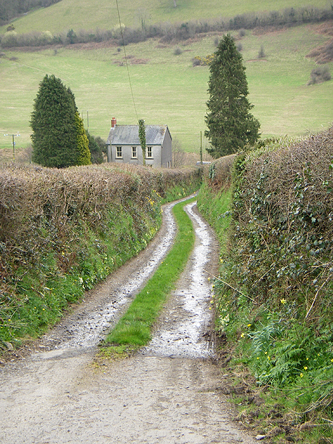
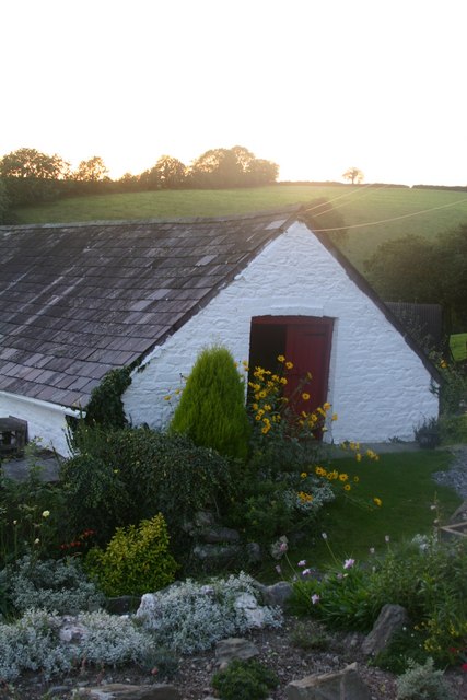
In addition to its historical importance, Abergwili is also renowned for its natural beauty. The community is surrounded by rolling green hills, lush farmland, and the tranquil River Towy. This picturesque landscape offers ample opportunities for outdoor activities such as walking, cycling, and fishing.
Abergwili is a close-knit community with a friendly and welcoming atmosphere. The residents take great pride in their community and actively participate in local events and initiatives. The community boasts a number of amenities, including a primary school, a village hall, and a pub, which serves as a popular gathering spot for locals and visitors alike.
Overall, Abergwili offers a perfect blend of history, natural beauty, and community spirit. Whether you are interested in exploring its historical sites, enjoying the scenic surroundings, or immersing yourself in the local culture, Abergwili has something to offer for everyone.
If you have any feedback on the listing, please let us know in the comments section below.
Abergwili Images
Images are sourced within 2km of 51.88657/-4.238898 or Grid Reference SN4623. Thanks to Geograph Open Source API. All images are credited.


Abergwili is located at Grid Ref: SN4623 (Lat: 51.88657, Lng: -4.238898)
Unitary Authority: Carmarthenshire
Police Authority: Dyfed-Powys
What 3 Words
///insolvent.sides.wins. Near Carmarthen, Carmarthenshire
Nearby Locations
Related Wikis

Cae Cwm-tywyll
Cae Cwm-tywyll is an unimproved hay meadow that is a Site of Special Scientific Interest in Carmarthenshire, Wales. == See also == List of Sites of Special...

Ystrad Tywi
Ystrad Tywi (Welsh: [ˈəstrad ˈtəwɪ], Valley of the river Towy) is a region of southwest Wales situated on both banks of the River Towy, it contained places...
Peniel, Carmarthenshire
Peniel is a small village in Carmarthenshire, Wales.
Llanfihangel-uwch-Gwili
Llanfihangel-uwch-Gwili is a village in Carmarthenshire, Wales. The church is one of many in Wales dedicated to Saint Michael the Archangel. == References ==
Bishops Pond
Bishops Pond (Welsh: Pwll yr Esgob) is a Site of Special Scientific Interest in Carmarthenshire, Wales, lying adjacent to the former palace of the Bishop...
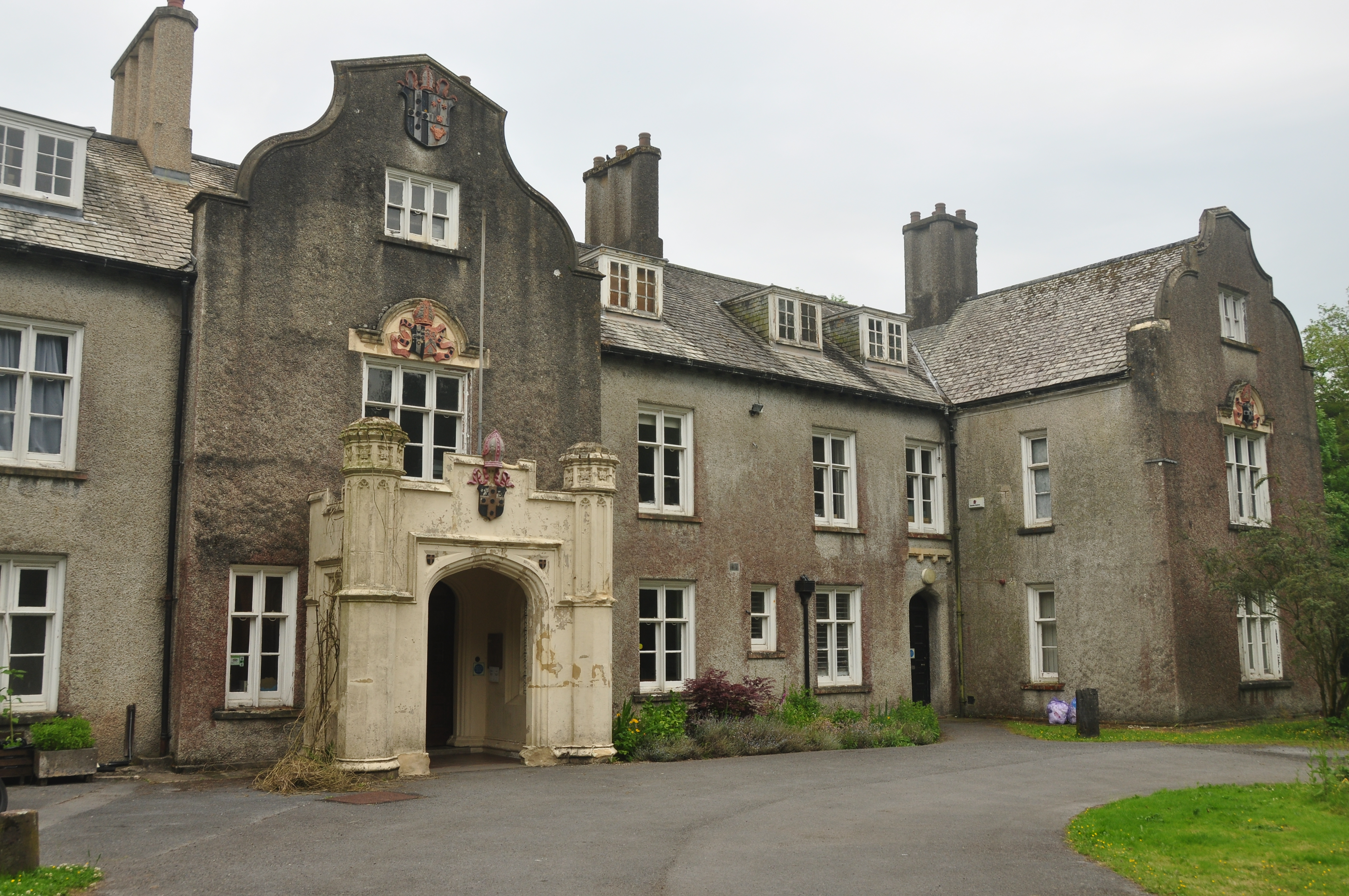
Carmarthenshire County Museum
Carmarthenshire County Museum is a museum in the old county town of Carmarthen, Carmarthenshire in Wales. == Location == Carmarthenshire County Museum...
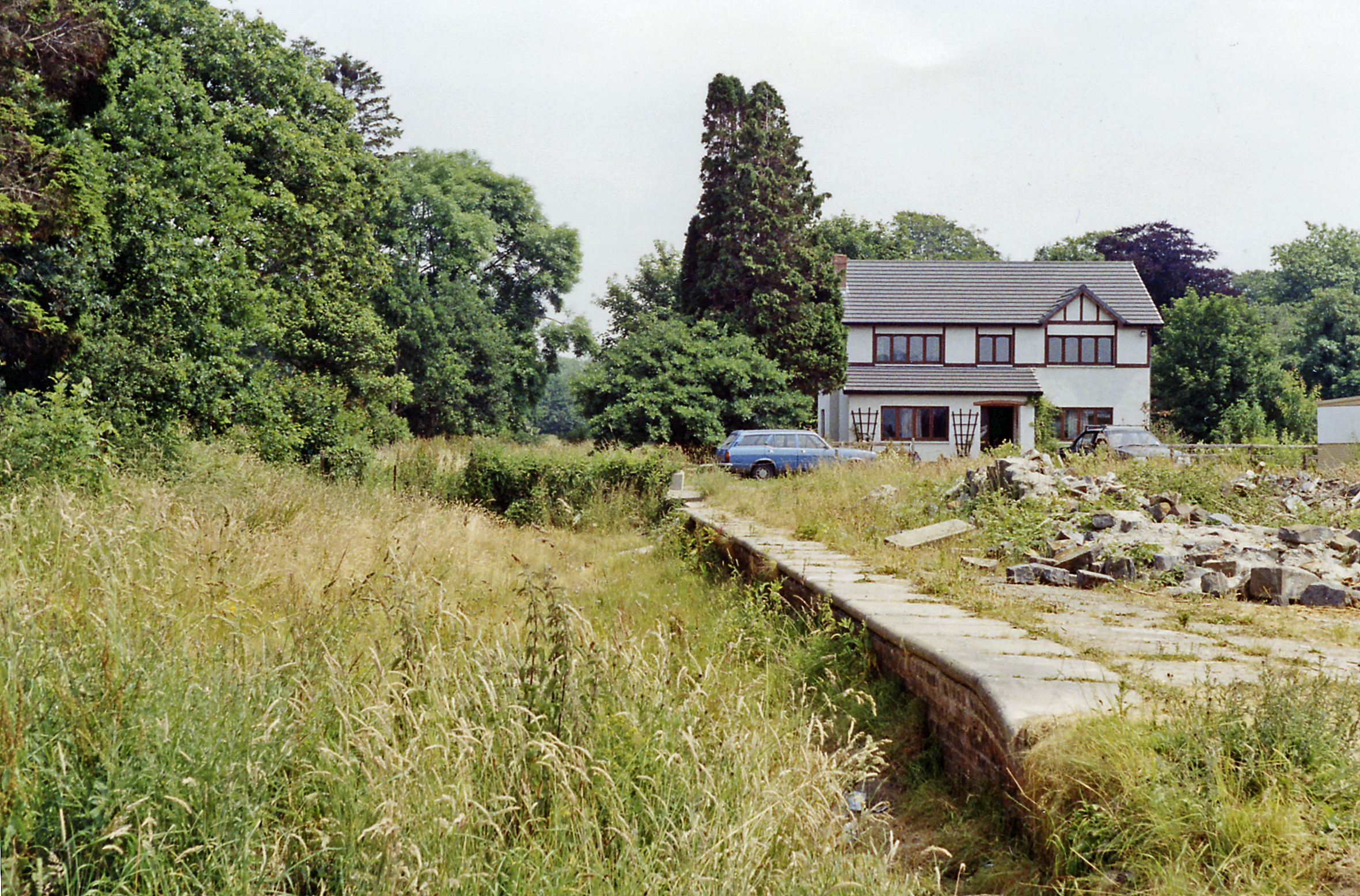
Abergwili railway station
Abergwili railway station served the village of Abergwili in Wales. It was the first station after Gwili Junction, the point where the line through it...

Abergwili
Abergwili () is a village and community in Carmarthenshire, Wales, near the confluence of the rivers Towy and Gwili, close to the town of Carmarthen. It...
Nearby Amenities
Located within 500m of 51.88657,-4.238898Have you been to Abergwili?
Leave your review of Abergwili below (or comments, questions and feedback).