Brynygwenin

Settlement in Monmouthshire

Wales

Brynygwenin

Towards Abergavenny Looking towards Abergavenny from the base of The Skirrid.
Towards Abergavenny Credit: Ian Capper

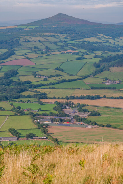
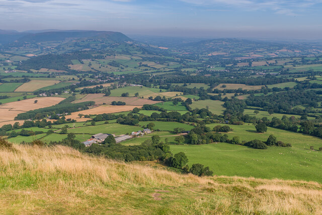
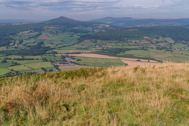
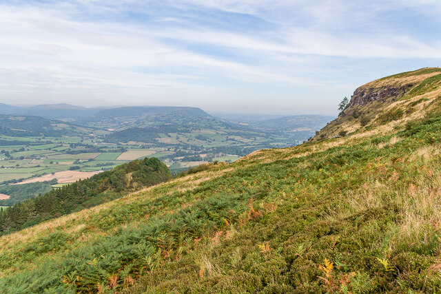
Brynygwenin is a small village located in Monmouthshire, Wales. It is situated in the rolling hills of the Welsh countryside, surrounded by lush green fields and beautiful scenery. The village is known for its peaceful and tranquil atmosphere, making it a popular destination for those looking to escape the hustle and bustle of city life.

Brynygwenin is home to a close-knit community, with a population of around 500 residents. The village has a few amenities, including a local pub, a small convenience store, and a primary school. The residents of Brynygwenin are friendly and welcoming, and there is a strong sense of community spirit within the village.

The surrounding area offers plenty of opportunities for outdoor activities, such as hiking, cycling, and fishing. The nearby Monmouthshire and Brecon Canal provides a picturesque setting for leisurely walks or boat rides. The village is also within easy reach of the historic town of Monmouth, which offers a wider range of amenities and attractions.

Overall, Brynygwenin is a charming and idyllic village that offers a peaceful and relaxing lifestyle for its residents.

If you have any feedback on the listing, please let us know in the comments section below.
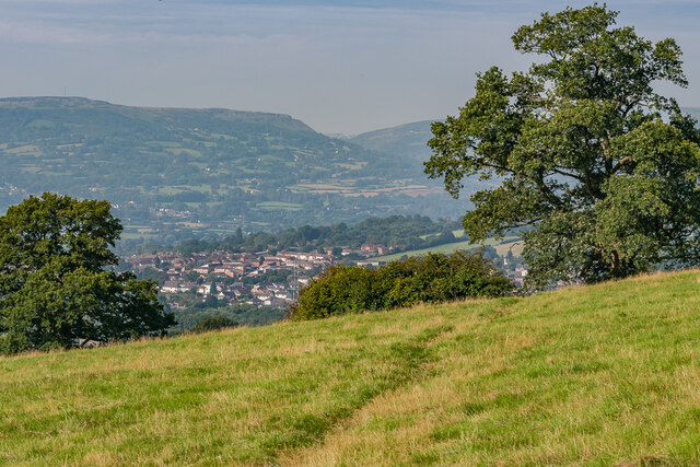
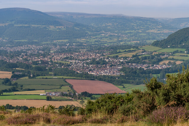
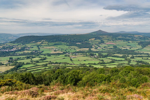
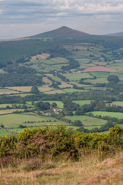
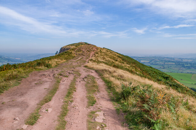
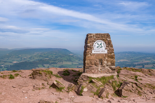
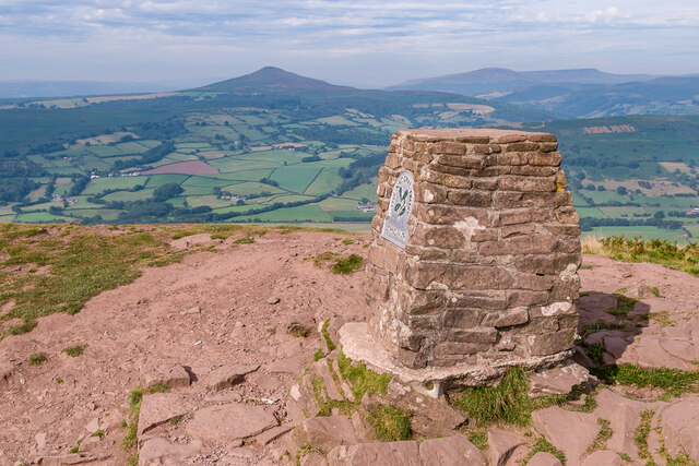
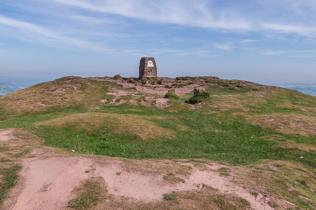
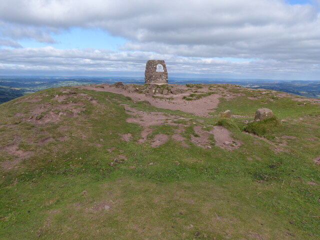
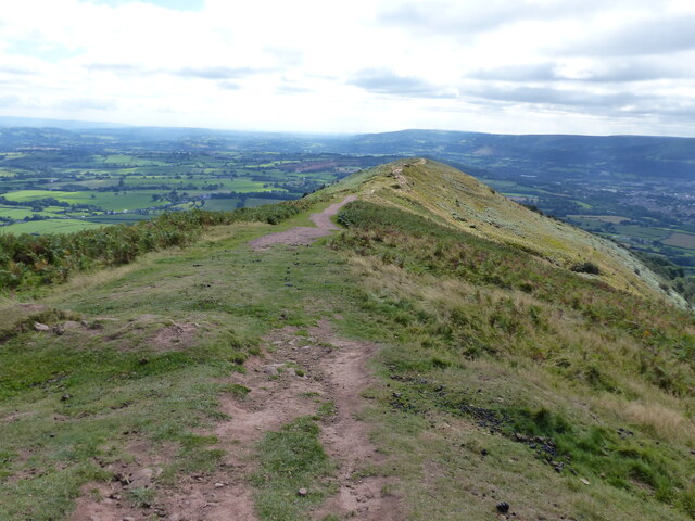
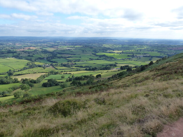
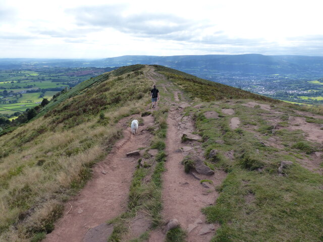
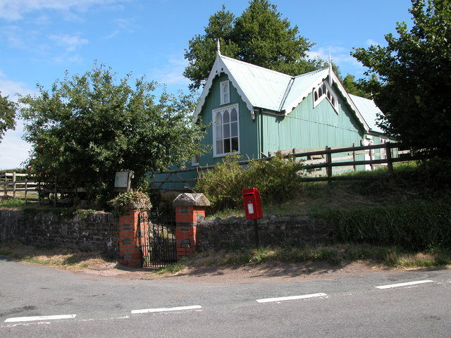
Brynygwenin Images

Images are sourced within 2km of 51.842621/-2.964987 or Grid Reference SO3316. Thanks to Geograph Open Source API. All images are credited.

Towards Abergavenny Looking towards Abergavenny from the base of The Skirrid.
Towards Abergavenny
Looking towards Abergavenny from the base of The Skirrid.
Towards Abergavenny Looking towards Abergavenny from the southern end of the summit ridge of The Skirrid.
Towards Abergavenny
Looking towards Abergavenny from the southern end of the summit ridge of The Skirrid.
Towards Sugar Loaf Looking towards Sugar Loaf from the southern end of the summit ridge of The Skirrid.
Towards Sugar Loaf
Looking towards Sugar Loaf from the southern end of the summit ridge of The Skirrid.
Towards Sugar Loaf Looking towards Sugar Loaf from the southern end of the summit ridge of The Skirrid.
Towards Sugar Loaf
Looking towards Sugar Loaf from the southern end of the summit ridge of The Skirrid.
Path on The Skirrid Path along the summit ridge of The Skirrid.
Path on The Skirrid
Path along the summit ridge of The Skirrid.
Path on The Skirrid Path along the summit ridge of The Skirrid, with the summit in the background.
Path on The Skirrid
Path along the summit ridge of The Skirrid, with the summit in the background.
The Skirrid The trig point on the summit of The Skirrid.
The Skirrid
The trig point on the summit of The Skirrid.
The Skirrid The trig point on the summit of The Skirrid, with Sugar Loaf in the background.
The Skirrid
The trig point on the summit of The Skirrid, with Sugar Loaf in the background.
The Skirrid The trig point on the summit of The Skirrid.
The Skirrid
The trig point on the summit of The Skirrid.
Towards Sugar Loaf Looking towards Sugar Loaf from the summit of The Skirrid.
Towards Sugar Loaf
Looking towards Sugar Loaf from the summit of The Skirrid.
North from The Skirrid Looking north from the summit of The Skirrid.
North from The Skirrid
Looking north from the summit of The Skirrid.
West from The Skirrid Looking west from the summit of The Skirrid, with Sugar Loaf in the left background and Bryn Arw nearer on the right.
West from The Skirrid
Looking west from the summit of The Skirrid, with Sugar Loaf in the left background and Bryn Arw nearer on the right.
The Skirrid The western slopes of The Skirrid, with the distinctive subpeak arising from an ice-age landslip seen on the left.
The Skirrid
The western slopes of The Skirrid, with the distinctive subpeak arising from an ice-age landslip seen on the left.
New Court Farm Farm house and outbuilding at New Court Farm, the latter now housing a craft  cooperative.
New Court Farm
Farm house and outbuilding at New Court Farm, the latter now housing a craft cooperative.
The top of The Skirrid
Looking along the length of The Skirrid
Looking south east from the top of the Skirrid
Dog walker on the Skirrid
Show me another place!

Brynygwenin is located at Grid Ref: SO3316 (Lat: 51.842621, Lng: -2.964987)

Unitary Authority: Monmouthshire

Police Authority: Gwent

What 3 Words

///interviewer.softly.elephant. Near Abergavenny, Monmouthshire

Nearby Locations

Brynygwenin

Related Wikis

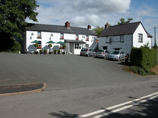
The Walnut Tree (restaurant)

The Walnut Tree is a restaurant in Llanddewi Skirrid, Monmouthshire, Wales. It is run by chef Shaun Hill and holds a Michelin star. It was previously owned...

Llanddewi Skirrid

Llanddewi Skirrid (Welsh: Llanddewi Ysgyryd) is a village in Monmouthshire, south east Wales, United Kingdom. == Location == Llanddewi Skirrid is located...

St David's Church, Llanddewi Skirrid

The Church of St David stands in the parish of Llanddewi Skirrid, Monmouthshire, Wales. The church was Grade II listed in 1956 as an example of John Prichard...

Skirrid Fawr

Skirrid Fawr (Welsh: Ysgyryd Fawr , Welsh pronunciation: [ɐsˈɡɐɾɪd ˈvæuɾ]), often referred to as just the Skirrid, is an easterly outlier of the Black...

Related Videos

Nearby Amenities

Located within 500m of 51.842621,-2.964987
Brynygwenin
Place: locality
Lat/Long: 51.839313/-2.969695
Entrance: main
Lat/Long: 51.8433248/-2.96392
Direction: SSE
Generator Method: photovoltaic
Generator Output Electricity: yes
Generator Solar Modules: 8
Generator Source: solar
Generator Type: solar_photovoltaic_panel
Location: roof
Power: generator
Lat/Long: 51.8395129/-2.9698018
Direction: 145
Generator Method: photovoltaic
Generator Output Electricity: yes
Generator Solar Modules: 8
Generator Source: solar
Generator Type: solar_photovoltaic_panel
Location: roof
Power: generator
Lat/Long: 51.8407796/-2.96748
Direction: 145
Generator Method: photovoltaic
Generator Output Electricity: yes
Generator Solar Modules: 6
Generator Source: solar
Generator Type: solar_photovoltaic_panel
Location: roof
Power: generator
Lat/Long: 51.8407527/-2.9675129
Direction: ENE
Generator Method: photovoltaic
Generator Output Electricity: yes
Generator Solar Modules: 8
Generator Source: solar
Generator Type: solar_photovoltaic_panel
Location: roof
Power: generator
Lat/Long: 51.8394816/-2.9698196
Direction: SW
Generator Method: photovoltaic
Generator Output Electricity: yes
Generator Solar Modules: 16
Generator Source: solar
Generator Type: solar_photovoltaic_panel
Location: roof
Power: generator
Lat/Long: 51.8395686/-2.969424
Direction: 145
Generator Method: photovoltaic
Generator Output Electricity: yes
Generator Solar Modules: 14
Generator Source: solar
Generator Type: solar_photovoltaic_panel
Location: roof
Power: generator
Lat/Long: 51.8398205/-2.9690807
Booth: K6
Covered: booth
Disused Amenity: telephone
Man Made: telephone_box
Lat/Long: 51.842464/-2.964972
Post Box
Post Box Type: lamp
Royal Cypher: EIIR
Royal Cypher Wikidata: Q33102113
Lat/Long: 51.8424381/-2.9650122
Advertising: board
Lat/Long: 51.842406/-2.9650578
The data included in this document is from www.openstreetmap.org. The data is made available under ODbL.

Have you been to Brynygwenin?

Leave your review of Brynygwenin below (or comments, questions and feedback).